Map of Kankakee County

Map of Kankakee County, Illinois

Kankakee County is a county located in the U.S. state of Illinois. According to the 2010 census, it has a population of 113,449. Its county seat is Kankakee. Kankakee County comprises the Kankakee, IL Metropolitan Statistical Area. Kankakee County overview: Name: Kankakee County FIPS code: 17-091 State: Illinois Founded: February 11, 1853 Named for: Kankakee … Read more

Map of Massac County

Map of Massac County, Illinois

Massac County is a county in the U.S. state of Illinois. According to the 2020 census, it had a population of 14,169. Established in 1843 and named for a French fort founded in the 18th century, its county seat is Metropolis. Massac County is included in the Paducah, KY-IL Micropolitan Statistical Area. It is located … Read more

Map of Pulaski County

Map of Pulaski County, Illinois

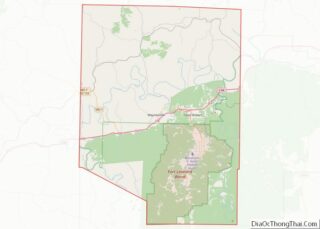
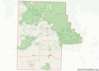
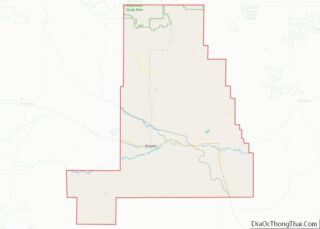
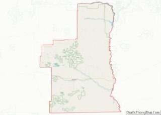
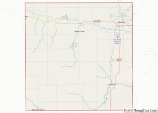
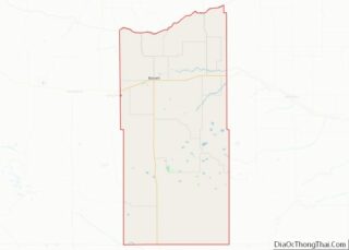
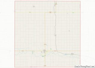
Pulaski County is a county located in the U.S. state of Illinois. According to the 2020 census, it had a population of 5,193. Its county seat is Mound City. Its largest city is Mounds. It is located along the Ohio River in the southwestern portion of the state, known locally as “Little Egypt”. Pulaski County … Read more

Map of Wabash County

Map of Wabash County, Illinois

Wabash County overview: Name: Wabash County FIPS code: 17-185 State: Illinois Founded: 1824 Named for: Wabash River Seat: Mount Carmel Largest city: Mount Carmel Total Area: 228 sq mi (590 km²) Land Area: 223 sq mi (580 km²) Total Population: 11,361 Population Density: 50/sq mi (19/km²) Time zone: UTC−6 (Central) Summer Time Zone (DST): UTC−5 (CDT) Wabash County location map. Where is … Read more

Map of Brown County

Map of Brown County, Indiana

Brown County is a county in Indiana which in 2010 had a population of 15,242. The county seat (and only incorporated town) is Nashville. Brown County overview: Name: Brown County FIPS code: 18-013 State: Indiana Founded: 4 February 1836 (created)August 1836 (organized) Named for: Jacob Brown Seat: Nashville Largest city: Nashville Total Area: 316.22 sq mi (819.0 km²) … Read more

Map of Fountain County

Map of Fountain County, Indiana

Fountain County lies in the western part of the U.S. state of Indiana on the east side of the Wabash River. The county was officially established in 1826 and was the 53rd in Indiana. The county seat is Covington. According to the 2000 United States Census, its population was 17,954; the 2010 population was 17,240. … Read more

Map of Jefferson County

Map of Jefferson County, Indiana

Jefferson County is a county located in the U.S. state of Indiana. As of 2020, the population was 33,147. The county seat is Madison. Jefferson County overview: Name: Jefferson County FIPS code: 18-077 State: Indiana Founded: 1811 Named for: Thomas Jefferson Seat: Madison Largest city: Madison Total Area: 362.89 sq mi (939.9 km²) Land Area: 360.63 sq mi (934.0 km²) Total … Read more

Map of Montgomery County

Map of Montgomery County, Indiana

Montgomery County is a county in the U.S. state of Indiana. As of the 2020 United States census, it had a population of 37,936. Its county seat is Crawfordsville. The county is divided into eleven townships which provide local services. Montgomery County comprises the Crawfordsville, IN Micropolitan Statistical Area. Montgomery County overview: Name: Montgomery County … Read more

Map of Rush County

Map of Rush County, Indiana

Rush County overview: Name: Rush County FIPS code: 18-139 State: Indiana Founded: 1822 Named for: Benjamin Rush Seat: Rushville Largest city: Rushville Total Area: 408.46 sq mi (1,057.9 km²) Land Area: 408.12 sq mi (1,057.0 km²) Population Density: 40.8/sq mi (15.8/km²) Rush County location map. Where is Rush County? History When the Indiana Territory was granted statehood (20 December 1816), there were … Read more

Map of Warren County

Map of Warren County, Indiana

Warren County is a county in the U.S. state of Indiana. It lies in the western part of the state between the Illinois state line and the Wabash River. According to the 2010 census, it had a population of 8,440. Its county seat is Williamsport. Before the arrival of non-indigenous settlers in the early 19th century, … Read more

Map of Buchanan County

Map of Buchanan County, Iowa

Buchanan County overview: Name: Buchanan County FIPS code: 19-019 State: Iowa Founded: 1837 Named for: James Buchanan Seat: Independence Largest city: Independence Total Area: 573 sq mi (1,480 km²) Land Area: 571 sq mi (1,480 km²) Total Population: 20,565 Population Density: 36/sq mi (14/km²) Time zone: UTC−6 (Central) Summer Time Zone (DST): UTC−5 (CDT) Website: www.buchanancountyiowa.org Buchanan County location map. Where is … Read more

Map of Davis County

Map of Davis County, Iowa

Davis County is a county located in the U.S. state of Iowa. As of the 2020 census, the population was 9,110. The county seat is Bloomfield. Davis County is included in the Ottumwa, IA Micropolitan Statistical Area. Davis County overview: Name: Davis County FIPS code: 19-051 State: Iowa Founded: 1843 Named for: Garrett Davis Seat: … Read more