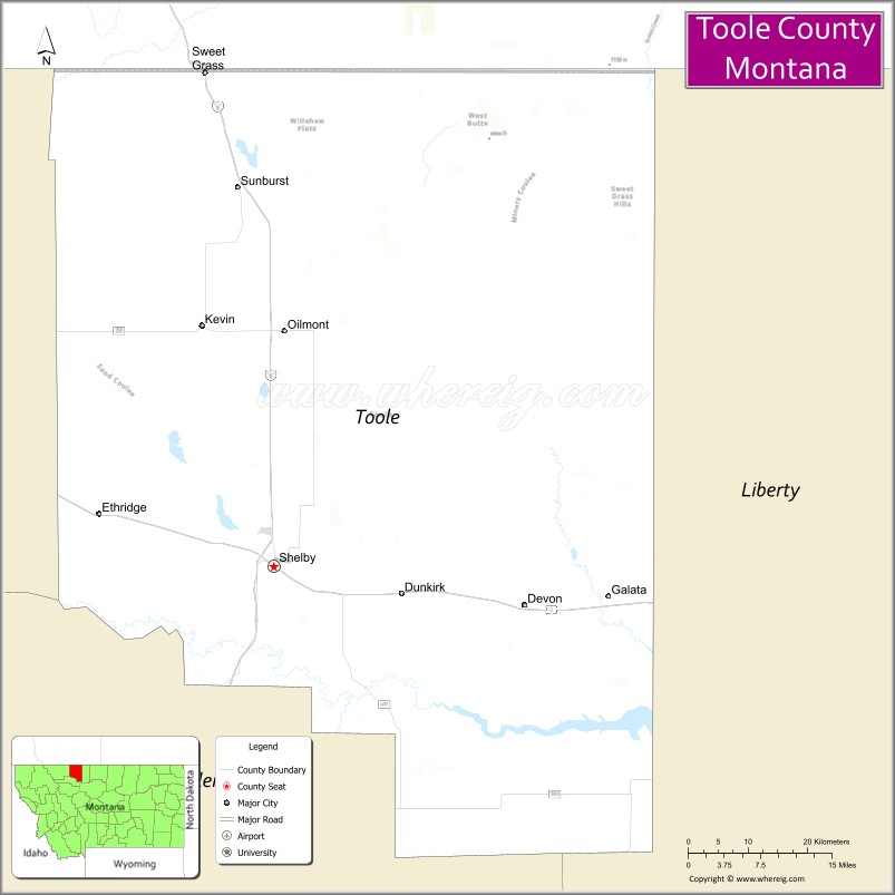
Toole County is a county in the northern portion of the U.S. state of Montana. As of the 2020 census, the population was 4,971. Its county seat is Shelby. The county was established in 1914 from parts of Hill County and Teton County and was named after Joseph Toole, the first and fourth governor of Montana. Its northern boundary is the Canada–United States border south of Alberta.
| Name: | Toole County |
|---|---|
| FIPS code: | 30-101 |
| State: | Montana |
| Founded: | 1914 |
| Named for: | Joseph Toole |
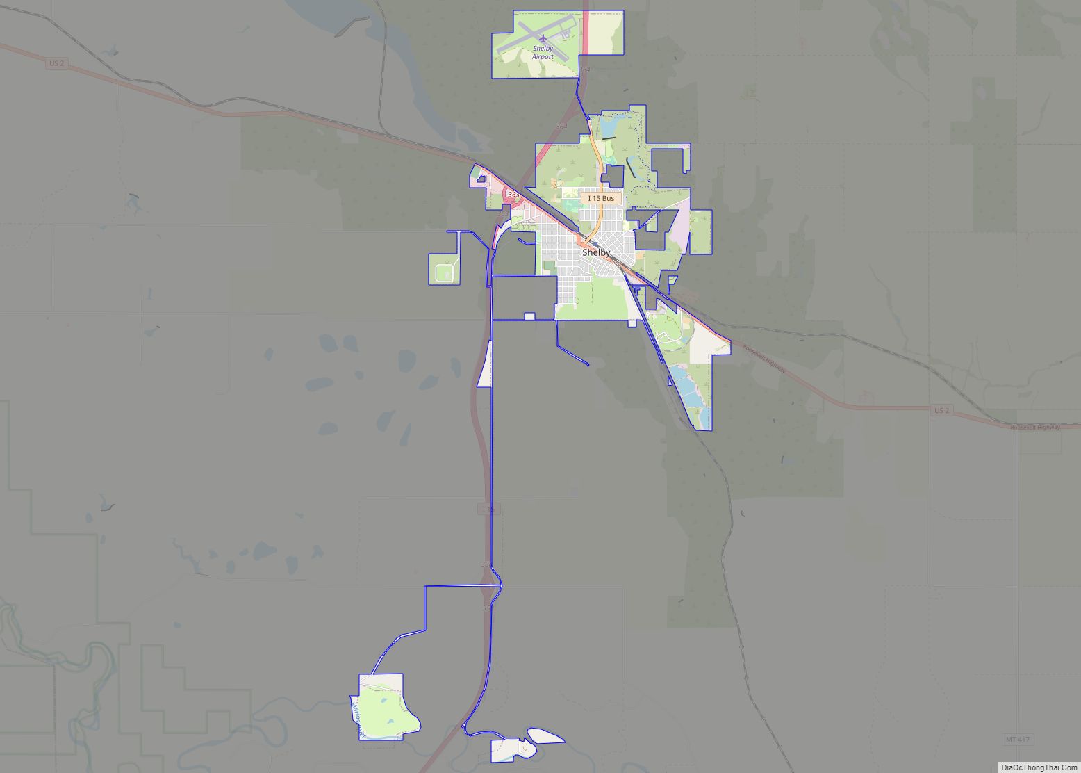
| Seat: | Shelby |
| Largest city: | Shelby |
| Total Area: | 1,946 sq mi (5,040 km²) |
| Land Area: | 1,916 sq mi (4,960 km²) |
| Total Population: | 4,971 |
| Population Density: | 2.6/sq mi (0.99/km²) |
| Time zone: | UTC−7 (Mountain) |
| Summer Time Zone (DST): | UTC−6 (MDT) |
| Website: | www.toolecountymt.gov |
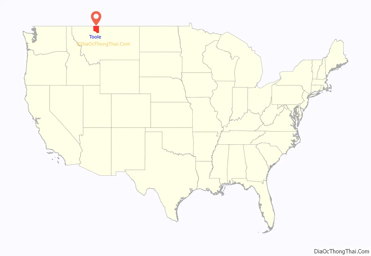
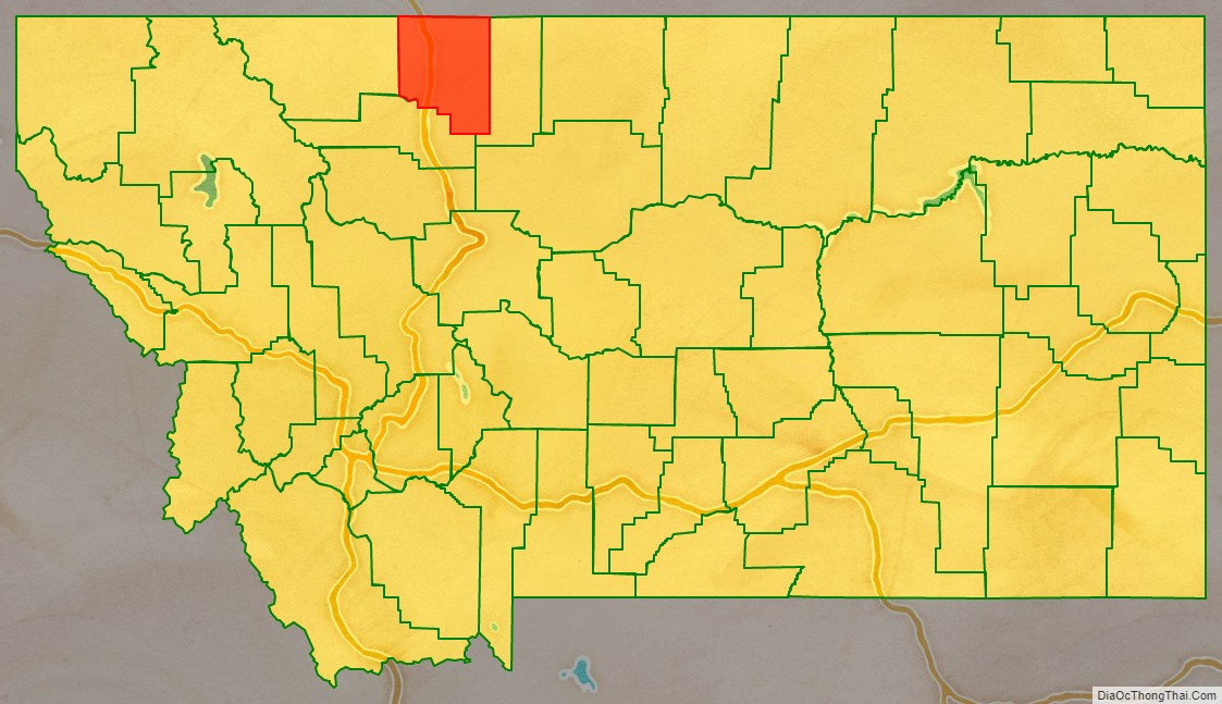
Toole County location map. Where is Toole County?
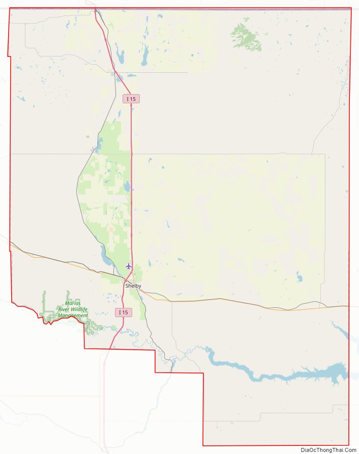
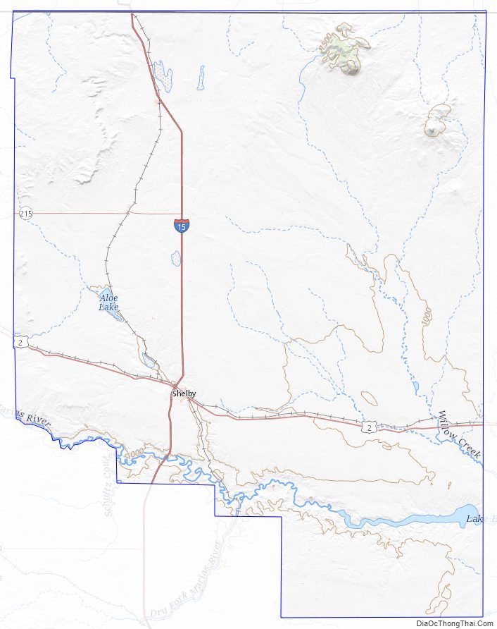
Toole County Road Map
Geography
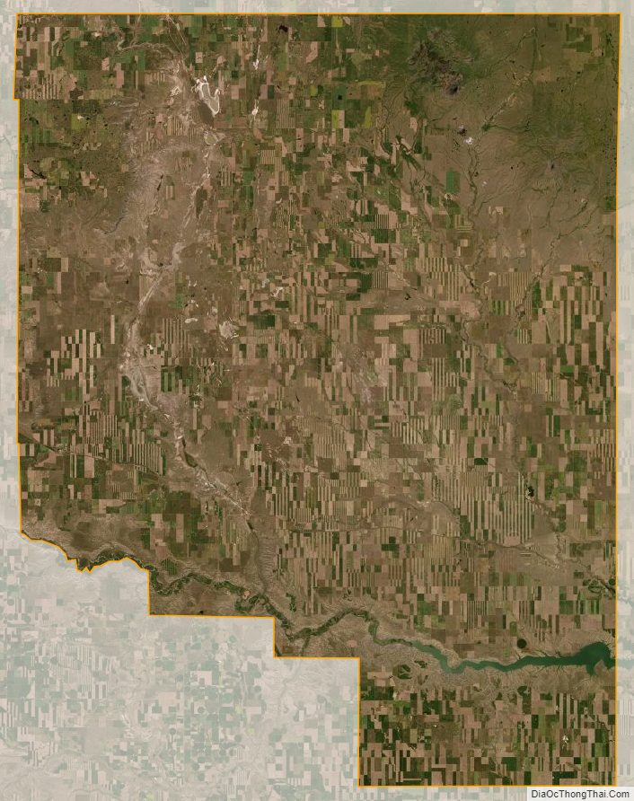
According to the United States Census Bureau, the county has a total area of 1,946 square miles (5,040 km), of which 1,916 square miles (4,960 km) is land and 30 square miles (78 km) (1.5%) is water.
Its northern boundary is the Canada–United States border. A part of its southern boundary by the southwestern county corner is formed by Marias River, which flows eastward through the southern part of the county. In the eastern part are several creeks, the largest of which is Willow, which rises in the Sweet Grass Hills and follows a southerly course through the county. In the Sweet Grass Hills and elsewhere indications of oil and gas have been found.
Major highways
- Interstate 15 – connects to Alberta Highway 4 at Canadian border
- U.S. Route 2
Adjacent counties
- Glacier County – west
- Pondera County – south
- Liberty County – east
- County of Warner No. 5, Alberta – north
- County of Forty Mile No. 8, Alberta – northeast
Toole County Topographic Map
Toole County Satellite Map
Toole County Outline Map