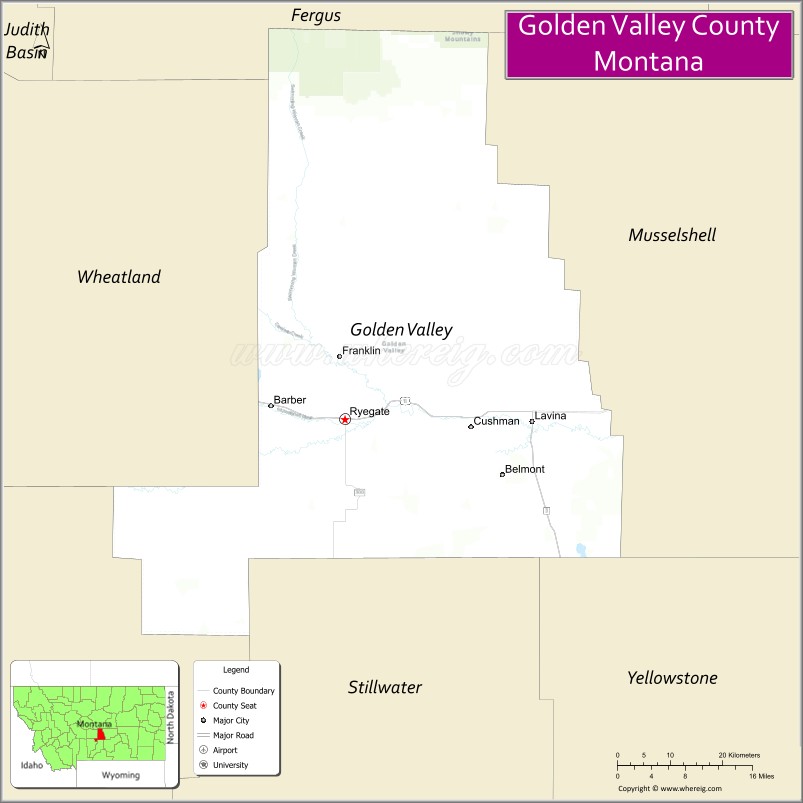
Golden Valley County is a county located in the U.S. state of Montana. As of the 2020 census, the population was 823, making it the third-least populous county in Montana. Its county seat is Ryegate.
| Name: | Golden Valley County |
|---|---|
| FIPS code: | 30-037 |
| State: | Montana |
| Founded: | March 8, 1920 |
| Seat: | Ryegate |
| Largest town: | Ryegate |
| Total Area: | 1,176 sq mi (3,050 km²) |
| Land Area: | 1,175 sq mi (3,040 km²) |
| Total Population: | 823 |
| Population Density: | 0.70/sq mi (0.27/km²) |
| Time zone: | UTC−7 (Mountain) |
| Summer Time Zone (DST): | UTC−6 (MDT) |
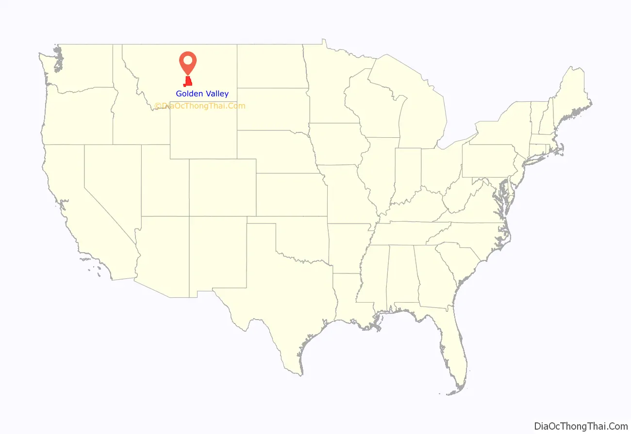
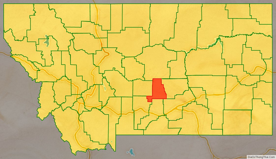
Golden Valley County location map. Where is Golden Valley County?
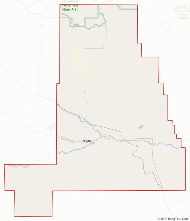
Golden Valley County Road Map
Geography
According to the United States Census Bureau, the county has a total area of 1,176 square miles (3,050 km), of which 1,175 square miles (3,040 km) is land and 1.0 square mile (2.6 km) (0.08%) is water. It is Montana’s fifth-smallest county by area.
Major highways
- U.S. Highway 12
- Montana Highway 3
Adjacent counties
- Fergus County – north
- Musselshell County – east
- Yellowstone County – southeast
- Stillwater County – south
- Sweet Grass County – southwest
- Wheatland County – west
National protected area
- Lewis and Clark National Forest (part)
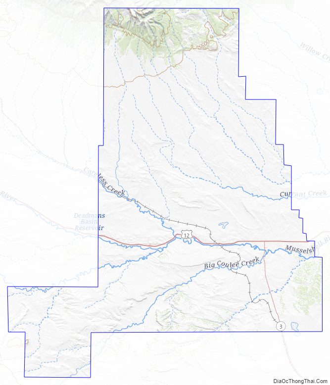
Golden Valley County Topographic Map
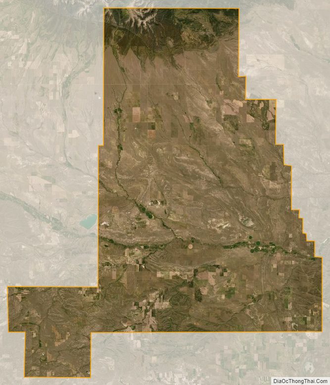
Golden Valley County Satellite Map
Golden Valley County Outline Map