Perry County is a county located in the U.S. state of Ohio. As of the 2020 census, the population was 35,408. Its county seat is New Lexington. It was established on March 1, 1818, from parts of Fairfield, Washington and Muskingum counties. The county is named for Oliver Hazard Perry, a hero of the War ... Read more
Map of US Counties
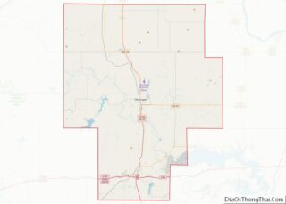
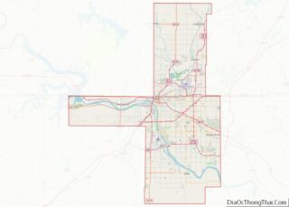
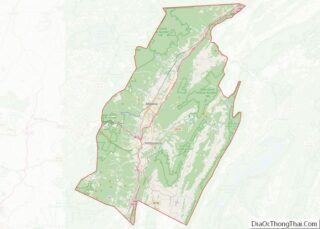
Union County is a county located in the U.S. state of Ohio. As of the 2020 census, the population was 62,784. Its county seat is Marysville. Its name is reflective of its origins, it being the union of portions of Franklin, Delaware, Madison, and Logan counties. Union County is part of the Columbus, OH Metropolitan ... Read more
Caddo County is a county located in the U.S. state of Oklahoma. As of the 2010 census, the population was 29,600. Its county seat is Anadarko. Created in 1901 as part of Oklahoma Territory, the county is named for the Caddo tribe who were settled here on a reservation in the 1870s. Caddo County is ... Read more
Garfield County overview: Name: Garfield County FIPS code: 40-047 State: Oklahoma Founded: 1893 Named for: James A. Garfield Seat: Enid Largest city: Enid Total Area: 1,060 sq mi (2,700 km²) Land Area: 1,058 sq mi (2,740 km²) Total Population: 60,580 Population Density: 57/sq mi (22/km²) Time zone: UTC−6 (Central) Summer Time Zone (DST): UTC−5 (CDT) Website: www.garfieldok.com Garfield County location map. Where ... Read more
LeFlore County is a county along the eastern border of the U.S state of Oklahoma. As of the 2010 census, the population was 50,384. Its county seat is Poteau. The county is part of the Fort Smith metropolitan area and the name honors a Choctaw family named LeFlore. The United States District Court for the ... Read more
Okmulgee County is a county in the U.S. state of Oklahoma. As of the 2010 census, the population was 40,069. The county seat is Okmulgee. Located within the Muscogee Nation Reservation, the county was created at statehood in 1907. The name Okmulgee is derived from the Hitichita (Lower Creek) word okimulgi, meaning “boiling waters”. Okmulgee ... Read more
Tulsa County is located in the U.S. state of Oklahoma. As of the 2020 census, the population was 669,279, making it the second-most populous county in Oklahoma, behind only Oklahoma County. Its county seat and largest city is Tulsa, the second-largest city in the state. Founded at statehood, in 1907, it was named after the ... Read more
Gilliam County is one of the 36 counties in the U.S. state of Oregon. As of the 2020 census, the population was 1,995, making it the third-least populous county in Oregon. The county seat is Condon. The county was established in 1885 and is named for Cornelius Gilliam, a colonel who commanded the forces of ... Read more
Polk County overview: Name: Polk County FIPS code: 41-053 State: Oregon Founded: December 22, 1845 Named for: James K. Polk Seat: Dallas Largest city: Salem (portion) Total Area: 744 sq mi (1,930 km²) Land Area: 741 sq mi (1,920 km²) Total Population: 87,433 Population Density: 118/sq mi (46/km²) Time zone: UTC−8 (Pacific) Summer Time Zone (DST): UTC−7 (PDT) Website: www.co.polk.or.us Polk County ... Read more
Blair County is a county in the Commonwealth of Pennsylvania. As of the 2020 census, the population was 122,822. Its county seat is Hollidaysburg. The county was created on February 26, 1846, from parts of Huntingdon and Bedford counties. Blair County comprises the Altoona, PA metropolitan statistical area. It is also part of the Altoona-Huntingdon, ... Read more
Delaware County overview: Name: Delaware County FIPS code: 42-045 State: Pennsylvania Founded: September 26, 1789 Named for: Delaware River Seat: Media Largest town: Upper Darby Total Area: 191 sq mi (490 km²) Land Area: 184 sq mi (480 km²) Total Population: 576,830 Population Density: 3,000/sq mi (1,200/km²) Website: delcopa.gov Delaware County location map. Where is Delaware County? History Delaware County lies in ... Read more
Lehigh County (Pennsylvania Dutch: Lechaa Kaundi) is a county in the Commonwealth of Pennsylvania. As of the 2020 census, the county’s population was 374,557. Its county seat is Allentown, the state’s third largest city after Philadelphia and Pittsburgh. Lehigh County and Northampton County to its east combine to form the Lehigh Valley region of eastern ... Read more