| Name: | Polk County |
|---|---|
| FIPS code: | 41-053 |
| State: | Oregon |
| Founded: | December 22, 1845 |
| Named for: | James K. Polk |
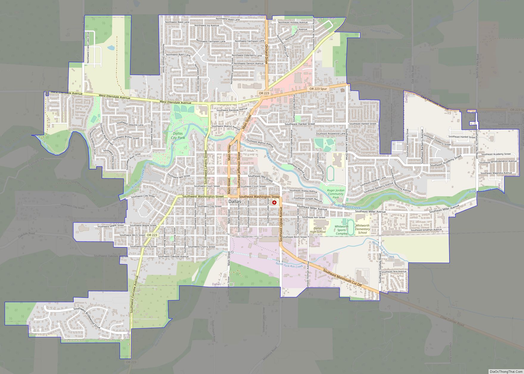
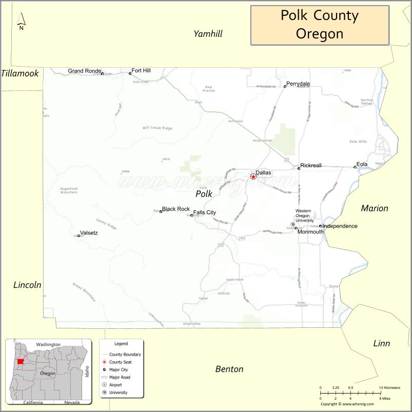
| Seat: | Dallas |
| Largest city: | Salem (portion) |
| Total Area: | 744 sq mi (1,930 km²) |
| Land Area: | 741 sq mi (1,920 km²) |
| Total Population: | 87,433 |
| Population Density: | 118/sq mi (46/km²) |
| Time zone: | UTC−8 (Pacific) |
| Summer Time Zone (DST): | UTC−7 (PDT) |
| Website: | www.co.polk.or.us |
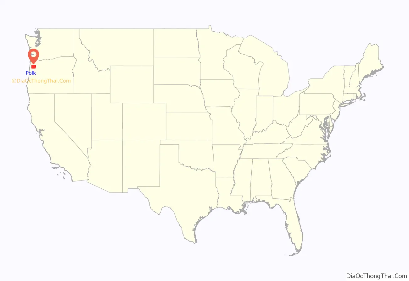
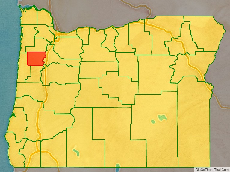
Polk County location map. Where is Polk County?
History
The Oregon Provisional Legislature created Polk County from Yamhill District on December 22, 1845, granting to it the entire southwestern portion of present-day Oregon to the California border. County boundaries were periodically changed to reflect the creation of Benton and Lincoln counties. Many other counties were subsequently carved out of these as settlement spread towards the south, leaving Polk County many counties away from its former border with California.
The first county seat was a settlement on the north side of Rickreall Creek named Cynthian (also known as Cynthia Ann). In 1852 city officials renamed Cynthian to Dallas after Vice President George M. Dallas, vice president (1845–1849) to James Polk. During the 1880s and 1890s, there were a series of unsuccessful efforts to move the county seat to nearby Independence.
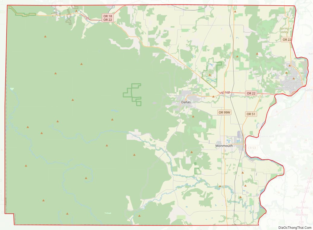
Polk County Road Map
Geography
According to the United States Census Bureau, the county has a total area of 744 square miles (1,930 km), of which 741 square miles (1,920 km) is land and 3.1 square miles (8.0 km) (0.4%) is water.
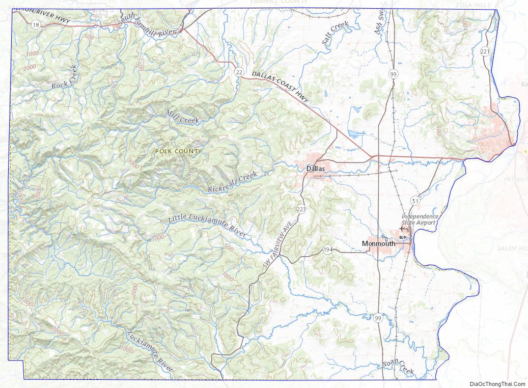
About two thirds of Polk County, the western part, is forest, mostly of the coniferous and mixed varieties, bordering on temperate rain forest around Laurel Mountain, the wettest place in Oregon.
The eastern half of the county lies in the Willamette Valley. The Willamette River forms the eastern border of the county, separating it from neighboring Marion County.
Adjacent counties
- Tillamook County (northwest)
- Yamhill County (north)
- Marion County (east)
- Linn County (southeast)
- Benton County (south)
- Lincoln County (west)
National protected areas
- Baskett Slough National Wildlife Refuge
- Siuslaw National Forest (part)
Polk County Topographic Map
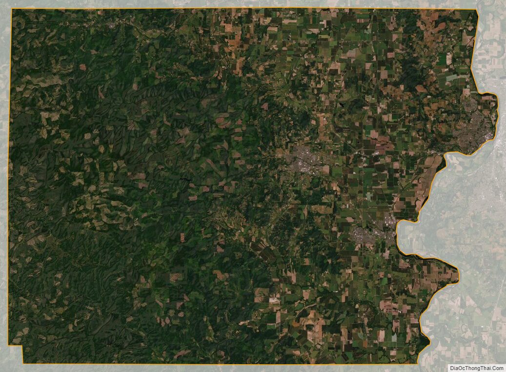
Polk County Satellite Map
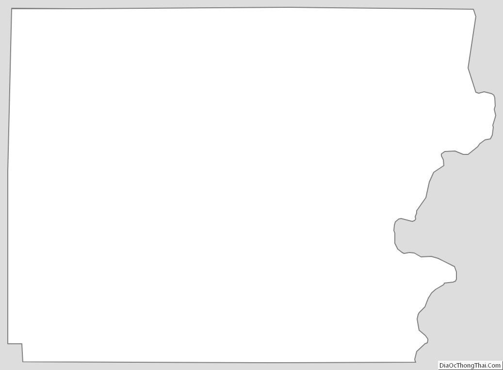
Polk County Outline Map