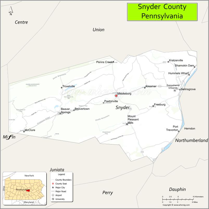
Snyder County is a county in the Commonwealth of Pennsylvania. As of the 2020 census, the population was 39,736. The county seat is Middleburg. Snyder County was formed in 1855 from parts of Union County.
Snyder County comprises the Selinsgrove, PA Micropolitan Statistical Area, which is also included in the Bloomsburg–Berwick–Sunbury, PA Combined Statistical Area.
| Name: | Snyder County |
|---|---|
| FIPS code: | 42-109 |
| State: | Pennsylvania |
| Founded: | March 2, 1855 |
| Named for: | Simon Snyder |
| Seat: | Middleburg |
| Total Area: | 332 sq mi (860 km²) |
| Land Area: | 329 sq mi (850 km²) |
| Total Population: | 39,736 |
| Population Density: | 123/sq mi (47/km²) |
| Time zone: | UTC−5 (Eastern) |
| Summer Time Zone (DST): | UTC−4 (EDT) |
| Website: | www.snydercounty.org |
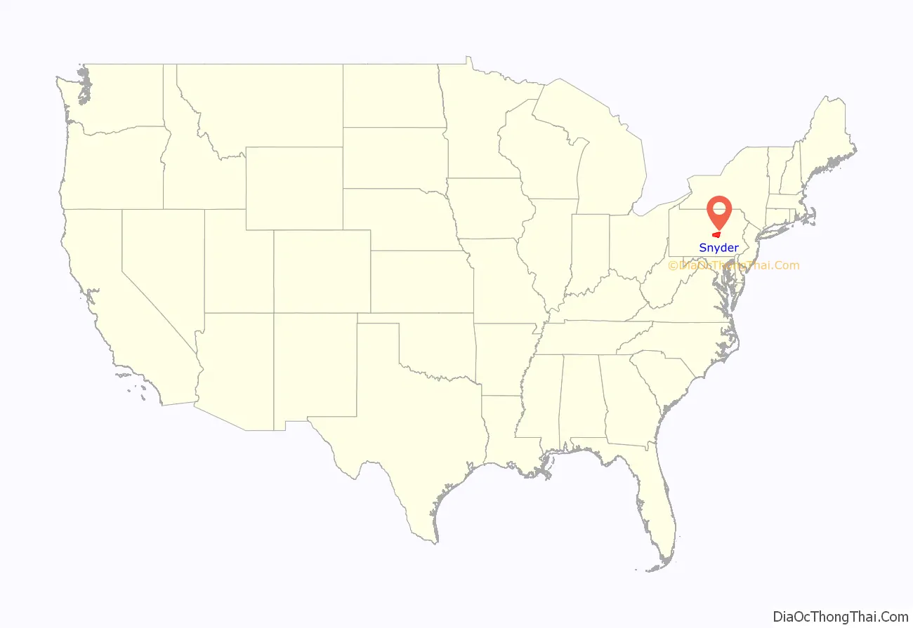
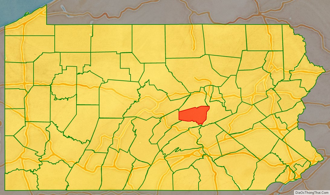
Snyder County location map. Where is Snyder County?
History
Snyder County was settled in the 1740s by Pennsylvania Germans from Berks and Lancaster counties, and became an independent political unit on March 2, 1855, when formed under part of Union County. Snyder County took its name in honor of the famous citizen and political figure Simon Snyder, who was governor of Pennsylvania for three terms, from 1808 to 1817, and made his home in Selinsgrove. The county seat of Middleburg was laid out in 1800 and incorporated in 1864.
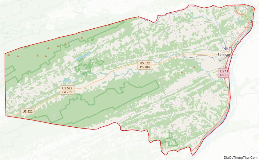
Snyder County Road Map
Geography
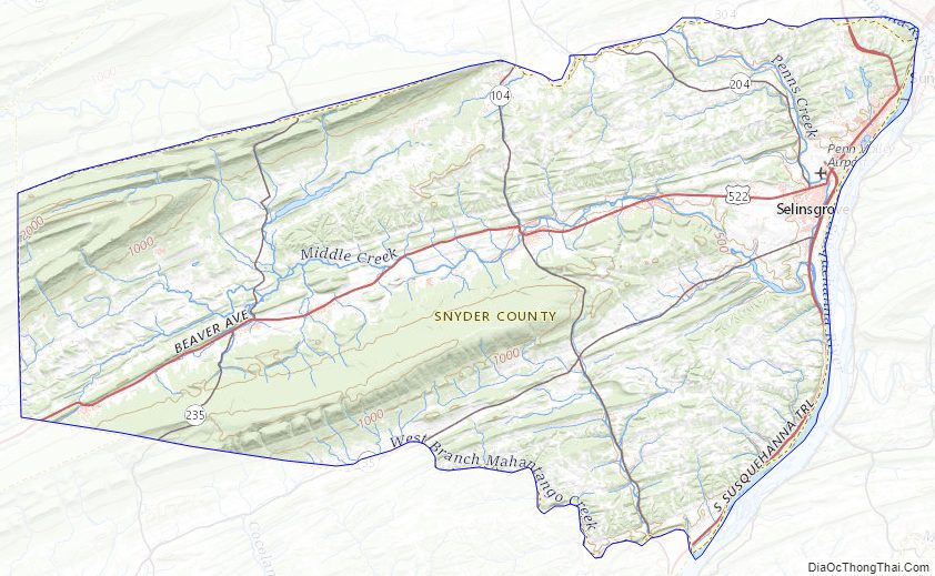
According to the U.S. Census Bureau, the county has a total area of 332 square miles (860 km), of which 329 square miles (850 km) is land and 2.8 square miles (7.3 km) (0.8%) is water. It is the fifth-smallest county in Pennsylvania by area. Snyder County is in the Ridge and Valley region of the Appalachian Mountains. Two parallel mountain ridges, Shade Mountain and Jacks Mountain, run southwest to northeast. The Susquehanna River is the eastern border. Between the ridges are steep hills, gently rolling hills, and flat creek valleys. With over 400 active farms in the county, agriculture plays an important role in the economy and environment. Roughly half the county remains forested with both softwoods and hardwoods. These woods provide a place for wildlife to roam which provides for the sport of hunting.
Climate
Snyder has a humid continental climate, which is hot-summer (Dfa) except in higher elevations, where it is warm-summer (Dfb). Average temperatures in Selinsgrove range from 27.4 °F in January to 72.8 °F in July, while in Beavertown they range from 26.6 °F in January to 72.1 °F in July. [1]
Adjacent counties
- Union County (north)
- Northumberland County (east)
- Juniata County (south)
- Mifflin County (west)
Snyder County Topographic Map
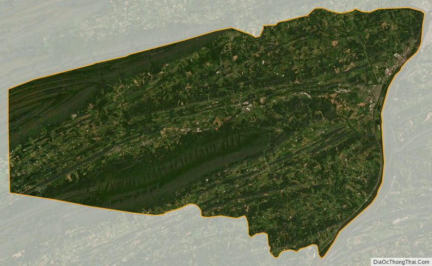
Snyder County Satellite Map
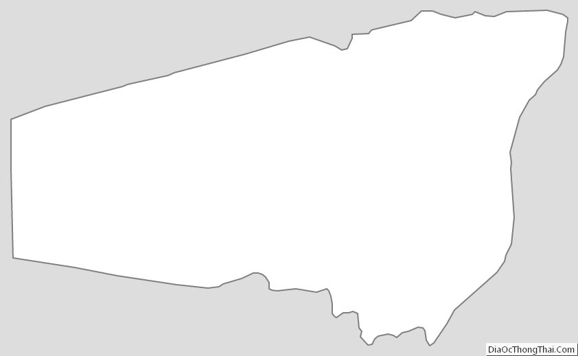
Snyder County Outline Map