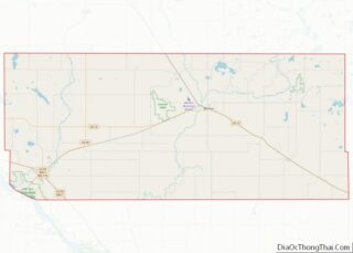
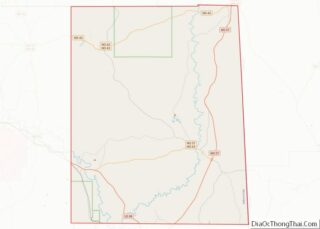
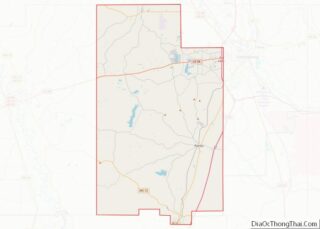
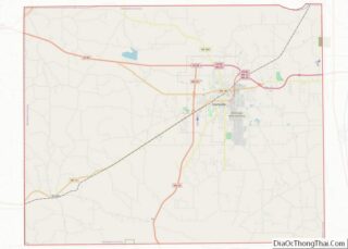
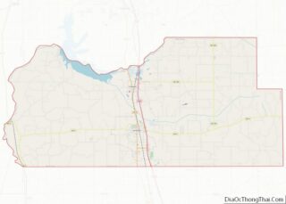
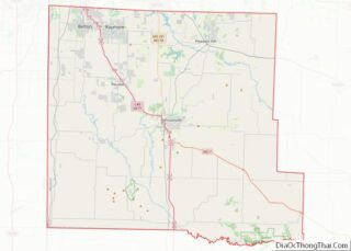
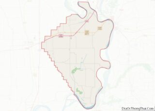
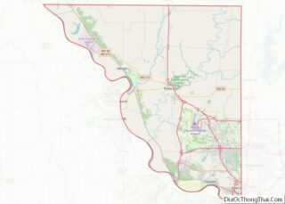
Spartanburg County is a county located on the northwestern border of the U.S. state of South Carolina. As of the 2020 census, the population was 327,997, making it the fifth-most populous county in South Carolina. Its county seat is Spartanburg. Spartanburg County is coterminous with the Spartanburg, SC Metropolitan Statistical Area, which is also included ... Read more
Map of US Counties
Clark County is a county in the U.S. state of South Dakota. As of the 2020 census, the population was 3,837. Its county seat is Clark. The county was created in 1873 and organized in 1881. It was named for Newton Clark, a Dakota Territory legislator in 1873. Clark County overview: Name: Clark County FIPS ... Read more
Hamlin County is a county in the U.S. state of South Dakota. As of the 2020 census, the population was 6,164. Its county seat is Hayti. The county was created in 1873 and organized in 1878. It was named for Hannibal Hamlin, Lincoln’s first vice-president. Hamlin County overview: Name: Hamlin County FIPS code: 46-057 State: ... Read more
McCook County is a county in the U.S. state of South Dakota. At the 2020 census, the population was 5,682. Its county seat is Salem. The county was established in 1873, and was organized in 1878. It was named for the former governor of the Dakota Territory and Civil War general Edwin Stanton McCook. McCook ... Read more
Todd County is a county in the U.S. state of South Dakota. As of the 2020 United States Census, the population was 9,319. Todd County does not have its own county seat. Instead, Winner in neighboring Tripp County serves as its administrative center. Its largest city is Mission. The county was created in 1909, although ... Read more
Carter County is a county located in the U.S. state of Tennessee. As of the 2020 census, the population was 56,356. Its county seat is Elizabethton. The county is named in honor of Landon Carter (1760-1800), an early settler active in the “Lost State of Franklin” 1784-1788 secession from the State of North Carolina. Carter ... Read more
Franklin County is a county in the U.S. state of Tennessee. It is located on the eastern boundary of Middle Tennessee in the southern part of the state. As of the 2020 census, the population was 42,774. Its county seat is Winchester. Franklin County is part of the Tullahoma–Manchester, TN Micropolitan Statistical Area. Franklin County ... Read more
Houston County is a county located in the U.S. state of Tennessee. As of the 2020 census, the population was 8,283. Its county seat is Erin. The county was founded in 1871. It was named for Sam Houston. Houston County overview: Name: Houston County FIPS code: 47-083 State: Tennessee Founded: 1871 Named for: Sam Houston ... Read more
Maury County overview: Name: Maury County FIPS code: 47-119 State: Tennessee Founded: 1807 Named for: Abram Poindexter Maury, Sr. Seat: Columbia Total Area: 616 sq mi (1,600 km²) Land Area: 613 sq mi (1,590 km²) Total Population: 100,974 Population Density: 164.72/sq mi (63.60/km²) Time zone: UTC−6 (Central) Summer Time Zone (DST): UTC−5 (CDT) Website: www.maurycounty-tn.gov Maury County location map. Where is Maury ... Read more
Robertson County is a county located on the central northern border of Tennessee in the United States. As of the 2020 United States Census, the population was 72,803 people. Its county seat is Springfield. The county was named for James Robertson, an explorer, founder of Nashville, and a state senator, who was often called the ... Read more
Washington County is a county located in the U.S. state of Tennessee. As of the 2020 census, the population was 133,001. Its county seat is Jonesborough. The county’s largest city and a regional educational, medical and commercial center is Johnson City. Washington County is Tennessee’s oldest county, having been established in 1777 when the state ... Read more
Bastrop County overview: Name: Bastrop County FIPS code: 48-021 State: Texas Founded: 1837 Named for: Felipe Enrique Neri, Baron de Bastrop Seat: Bastrop Largest city: Elgin Total Area: 896 sq mi (2,320 km²) Land Area: 888 sq mi (2,300 km²) Total Population: 97,216 Population Density: 110/sq mi (42/km²) Time zone: UTC−6 (Central) Summer Time Zone (DST): UTC−5 (CDT) Website: www.co.bastrop.tx.us Bastrop County ... Read more