| Name: | Moore County |
|---|---|
| FIPS code: | 48-341 |
| State: | Texas |
| Founded: | 1892 |
| Named for: | Edwin Ward Moore |
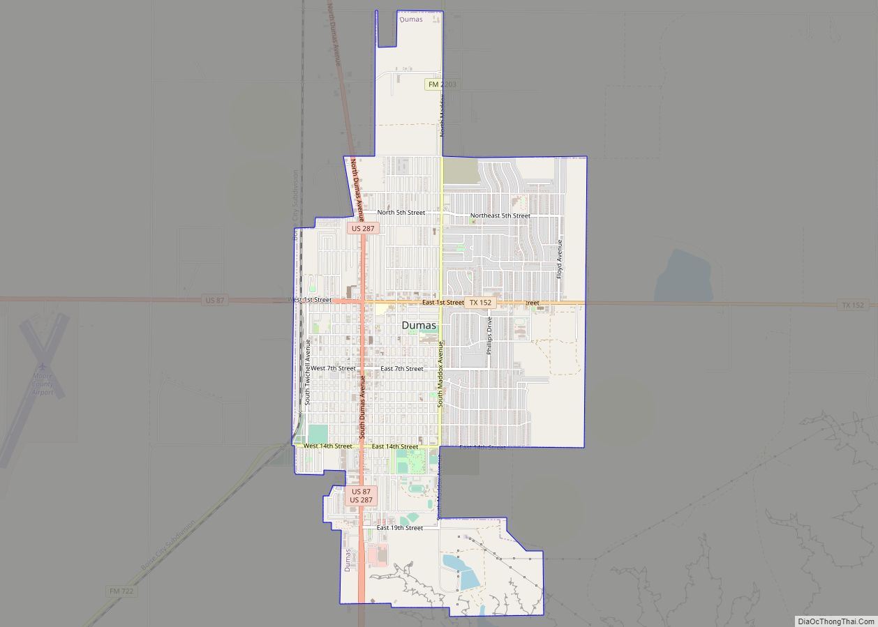
| Seat: | Dumas |
| Largest city: | Dumas |
| Total Area: | 910 sq mi (2,400 km²) |
| Land Area: | 900 sq mi (2,000 km²) |
| Total Population: | 21,358 |
| Population Density: | 23/sq mi (9.1/km²) |
| Time zone: | UTC−6 (Central) |
| Summer Time Zone (DST): | UTC−5 (CDT) |
| Website: | www.co.moore.tx.us |
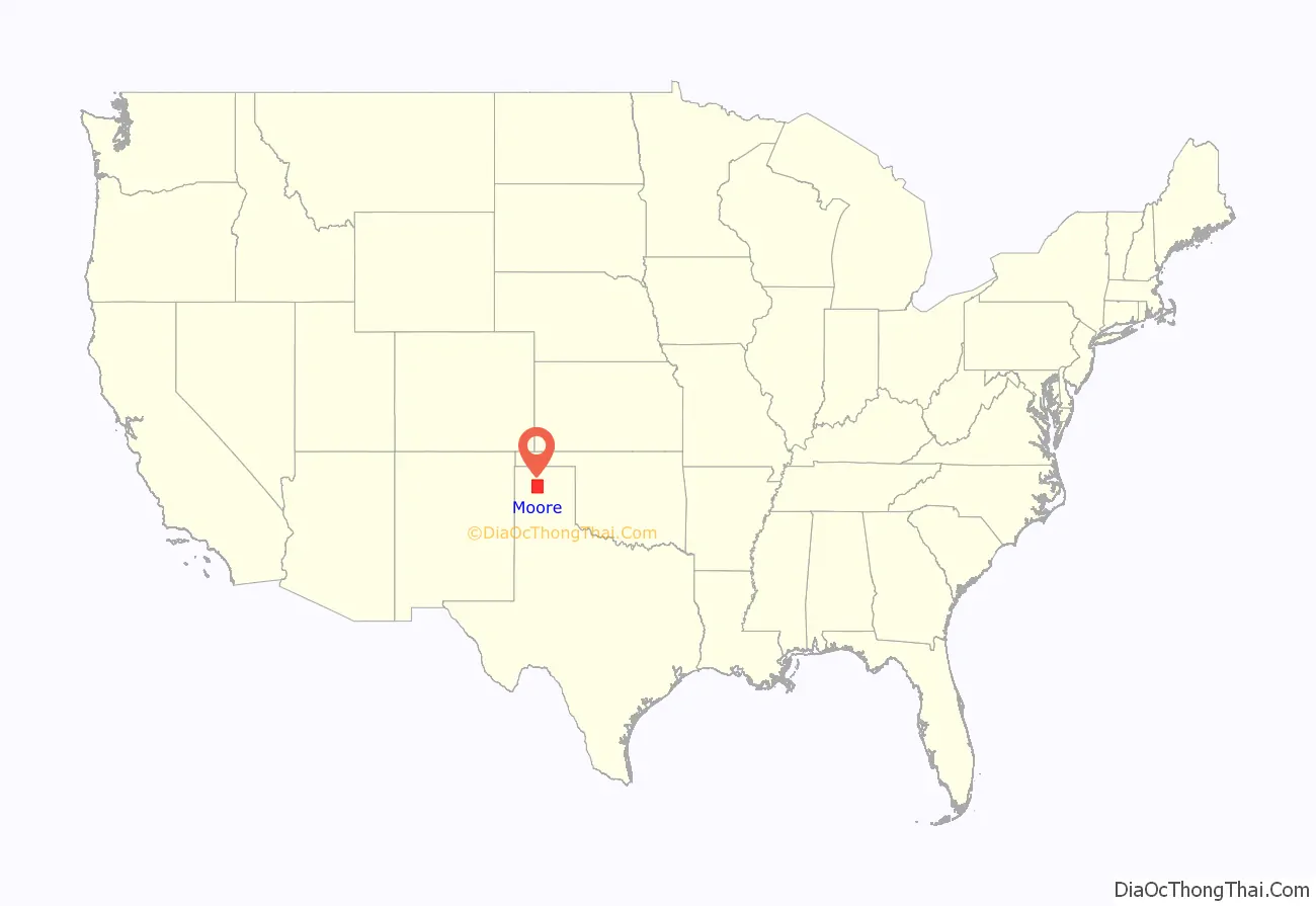
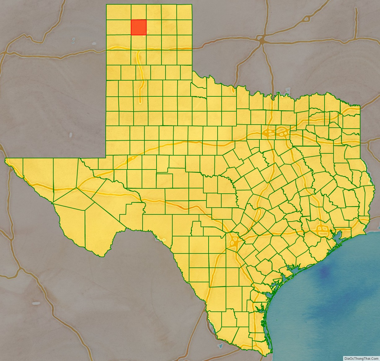
Moore County location map. Where is Moore County?
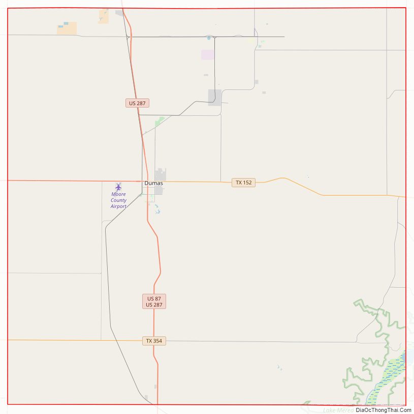
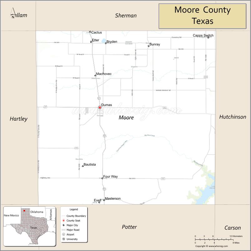
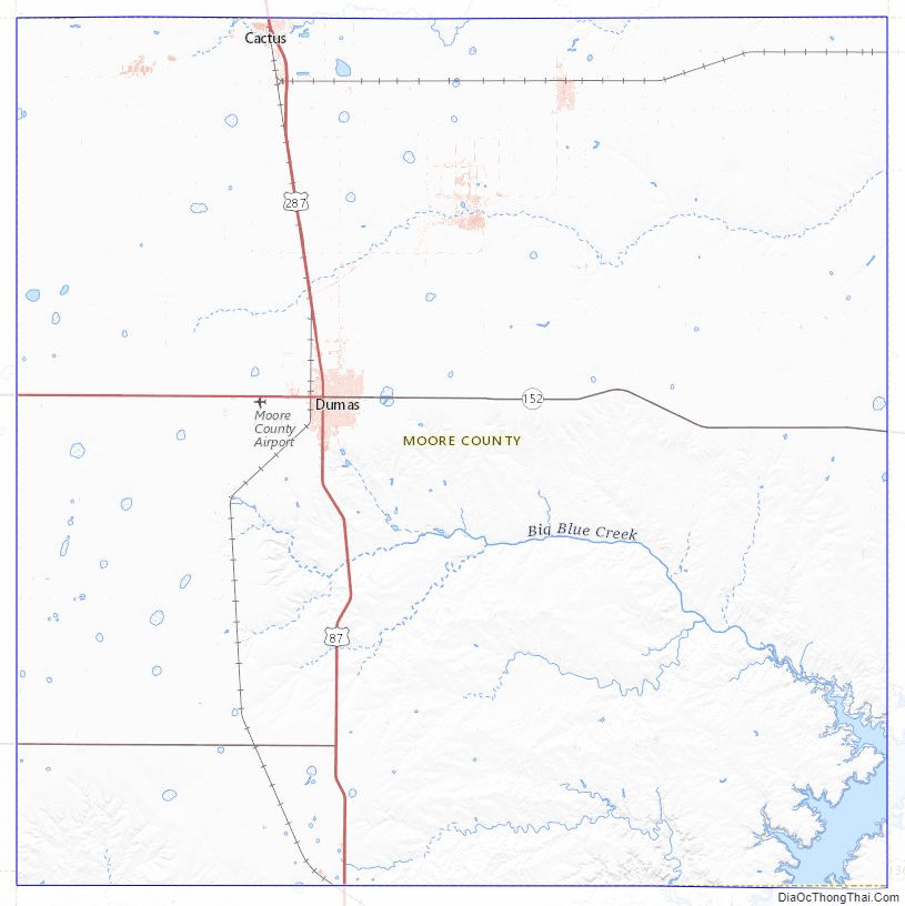
Moore County Road Map
Geography
According to the U.S. Census Bureau, the county has a total area of 910 square miles (2,400 km), of which 9.9 sq mi (26 km) (1.1%) are covered by water.
Major highways
- U.S. Highway 87
- U.S. Highway 287
- State Highway 152
- State Highway 354
Adjacent counties
- Sherman County (north)
- Hutchinson County (east)
- Carson County (southeast)
- Potter County (south)
- Oldham County (southwest)
- Hartley County (west)
- Dallam County (northwest)
National protected area
- Lake Meredith National Recreation Area (part)
Moore County Topographic Map
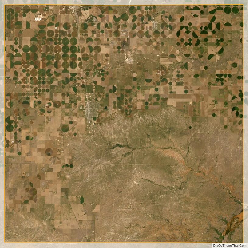
Moore County Satellite Map
Moore County Outline Map