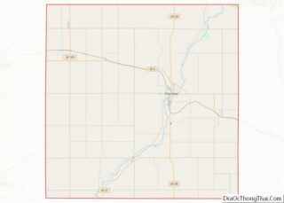
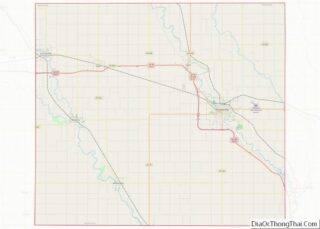
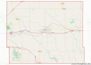
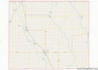
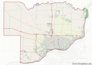
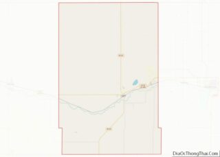
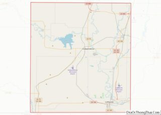
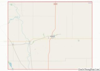
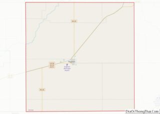
Map of Douglas County, Oregon
Douglas County overview: Name: Douglas County FIPS code: 41-019 State: Oregon Founded: January 7, 1852 Named for: Stephen A. Douglas Seat: Roseburg Largest city: Roseburg Total Area: 5,134 sq mi (13,300 km²) Land Area: 5,036 sq mi (13,040 km²) Total Population: 111,201 Population Density: 21/sq mi (8/km²) Time zone: UTC−8 (Pacific) Summer Time Zone (DST): UTC−7 (PDT) Website: www.co.douglas.or.us Douglas County location ... Read more
Map of Douglas County, Oregon
Map of Multnomah County, Oregon
Multnomah County /mʌltˈnoʊmə/ is one of the 36 counties in the U.S. state of Oregon. As of the 2020 census, the county’s population was 815,428. Multnomah County is part of the Portland–Vancouver–Hillsboro, OR–WA Metropolitan Statistical Area. Though smallest in area, Multnomah County is the state’s most populous county. Its county seat, Portland, is the state’s ... Read more
Map of Multnomah County, Oregon
Map of Berks County, Pennsylvania
Berks County (Pennsylvania German: Barricks Kaundi) is a county in the Commonwealth of Pennsylvania. As of the 2020 census, the population was 428,849. The county seat is Reading. The Schuylkill River, a 135-mile-long (217 km) tributary of the Delaware River, flows through Berks County. The county is part of the Reading, PA metropolitan statistical area (MSA), ... Read more
Map of Berks County, Pennsylvania
Map of Dauphin County, Pennsylvania
Dauphin County (/ˈdɔːfɪn/; Pennsylvania Dutch: Daffin Kaundi) is a county in the Commonwealth of Pennsylvania. As of the 2020 census, the population was 286,401. The county seat and the largest city is Harrisburg, Pennsylvania’s state capital and ninth largest city. The county was created on March 4, 1785, from part of Lancaster County and was ... Read more
Map of Dauphin County, Pennsylvania
Map of Lebanon County, Pennsylvania
Lebanon County (/ˈlɛbənən/ Pennsylvania Dutch: Lebanon Kaundi) is a county in the Commonwealth of Pennsylvania. As of the 2010 census, the population was 133,568. Its county seat is the city of Lebanon. The county was formed from portions of Dauphin and Lancaster counties in 1813, with minor boundary revisions in 1814 and 1821. Lebanon County ... Read more
Map of Lebanon County, Pennsylvania
Map of Schuylkill County, Pennsylvania
Schuylkill County (/ˈskuːlkɪl/, locally /-kəl/; Pennsylvania Dutch: Schulkill Kaundi) is a county in the Commonwealth of Pennsylvania. It is located in the heart of Pennsylvania’s Coal Region and is part of Northeastern Pennsylvania. As of the 2020 census, the population was 143,049. The county seat is Pottsville. The county was created on March 1, 1811, ... Read more
Map of Schuylkill County, Pennsylvania
Map of Newport County, Rhode Island
Newport County is one of five counties located in the U.S. state of Rhode Island. As of the 2020 census, the population was 85,643. It is also one of the seven regions of Rhode Island. The county was created in 1703. Like all of the counties in Rhode Island, Newport County no longer has any ... Read more
Map of Newport County, Rhode Island
Map of Clarendon County, South Carolina
Clarendon County is a county located below the fall line in the Coastal Plain region of U.S. state of South Carolina. As of 2020 census, its population was 31,144. Its county seat is Manning. This area was developed for lumber and mills, including textile mills. Clarendon County boasts one of the largest man-made lakes in ... Read more
Map of Clarendon County, South Carolina
Map of Laurens County, South Carolina
Laurens County is a county located in the U.S. state of South Carolina. As of the 2020 census, its population was 67,539. Its county seat is Laurens. Laurens County is included in the Greenville-Anderson-Mauldin, SC Metropolitan Statistical Area. Laurens County overview: Name: Laurens County FIPS code: 45-059 State: South Carolina Founded: 1785 Named for: Henry ... Read more
Map of Laurens County, South Carolina
Map of York County, South Carolina
York County is a county on the north central border in the U.S. state of South Carolina. As of the 2020 census, the population was 282,090, making it the seventh most populous county in the state. Its county seat is the city of York, and its largest city is Rock Hill. The county is served ... Read more
Map of York County, South Carolina
Map of Custer County, South Dakota
Custer County is a county in the U.S. state of South Dakota. As of the 2020 United States Census, the population was 8,318. Its county seat is Custer. The county was created in 1875, and was organized in 1877. Custer County overview: Name: Custer County FIPS code: 46-033 State: South Dakota Founded: 1875 Named for: ... Read more
Map of Custer County, South Dakota
Map of Hughes County, South Dakota
Hughes County is a county in the U.S. state of South Dakota. As of the 2020 United States Census, the population was 17,765, making it the least populous capital county in the nation, and the twelfth-most populous county in South Dakota. Its county seat is Pierre, which is also the state capital. The county was ... Read more
Map of Hughes County, South Dakota