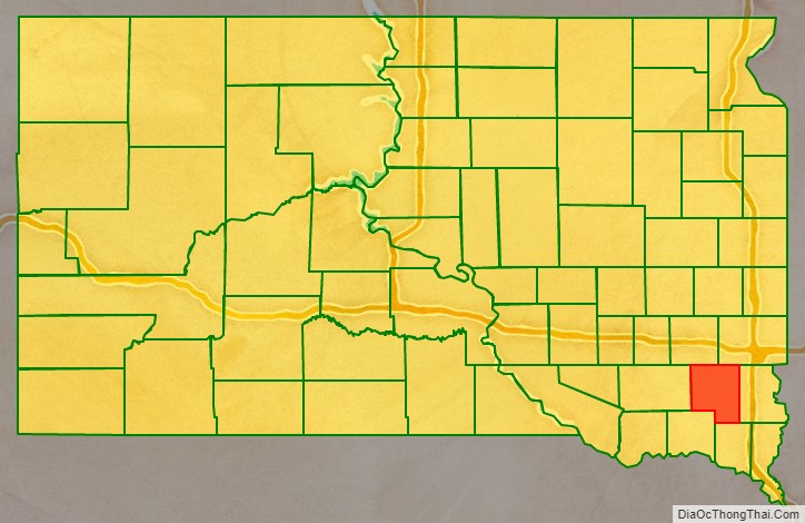
Turner County is a county in the U.S. state of South Dakota. As of the 2020 census, the population was 8,673. Its county seat is Parker. The county was established in 1871, and was named for Dakota Territory official John W. Turner.
Turner County is a part of the Sioux Falls, SD Metropolitan Statistical Area.
| Name: | Turner County |
|---|---|
| FIPS code: | 46-125 |
| State: | South Dakota |
| Founded: | 1871 |
| Named for: | John W. Turner |
| Seat: | Parker |
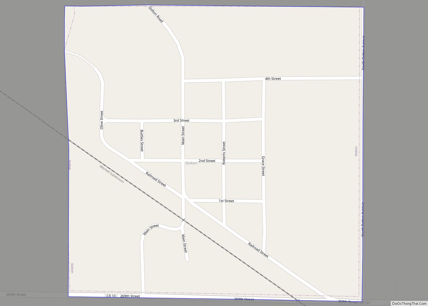
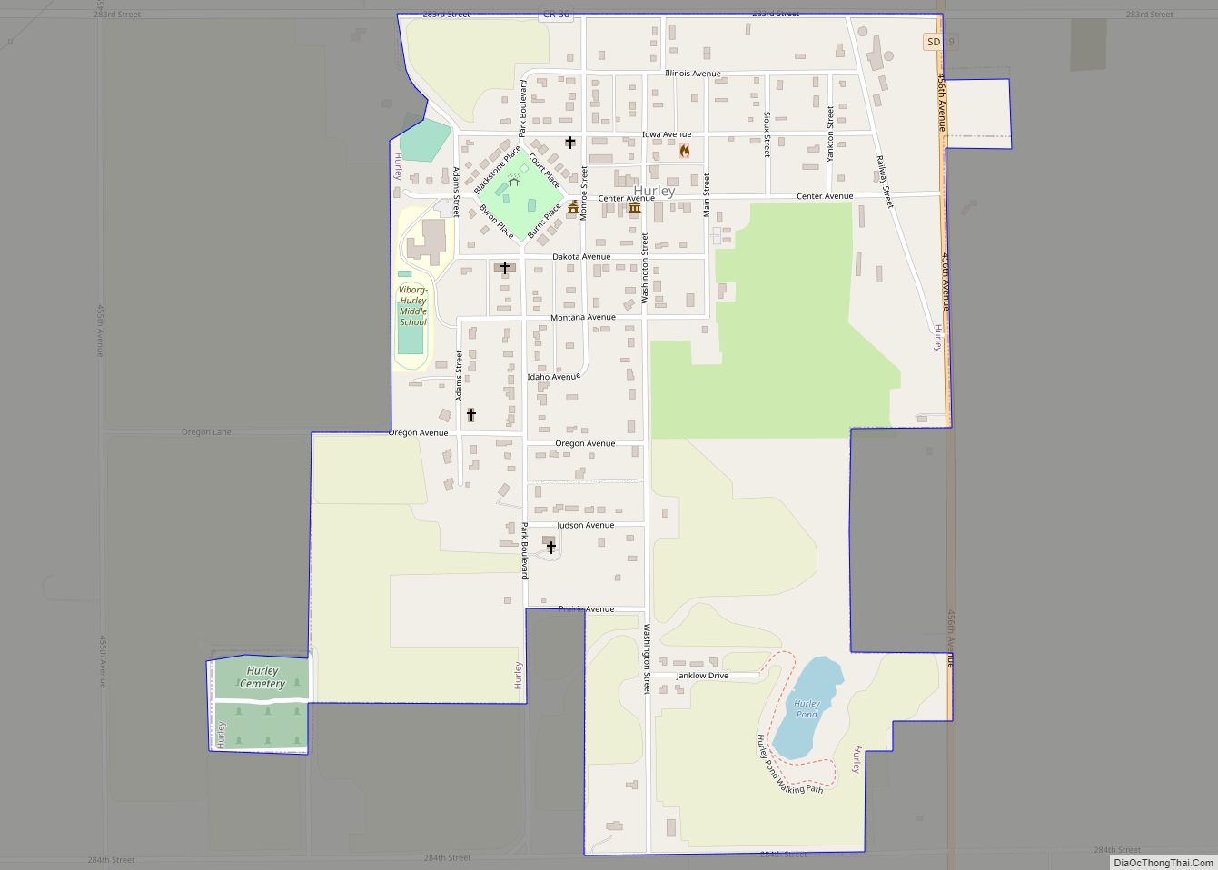
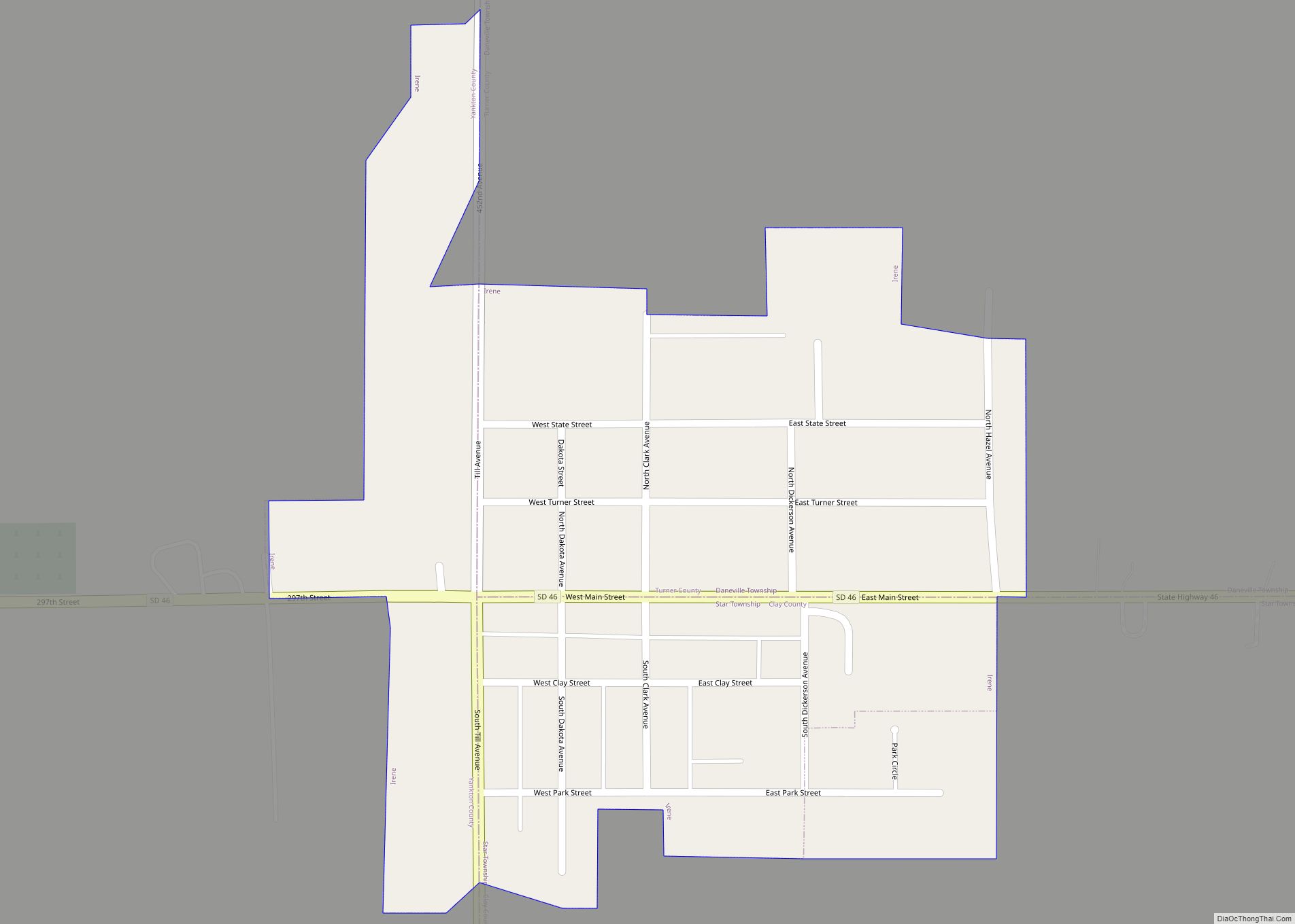
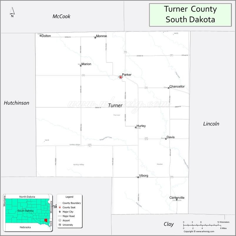
| Largest city: | Parker |
| Total Area: | 618 sq mi (1,600 km²) |
| Land Area: | 617 sq mi (1,600 km²) |
| Total Population: | 8,673 |
| Population Density: | 14/sq mi (5.4/km²) |
| Time zone: | UTC−6 (Central) |
| Summer Time Zone (DST): | UTC−5 (CDT) |
| Website: | turner.sdcounties.org |
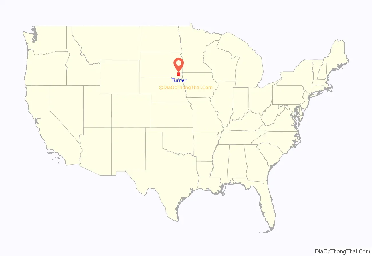
Turner County location map. Where is Turner County?
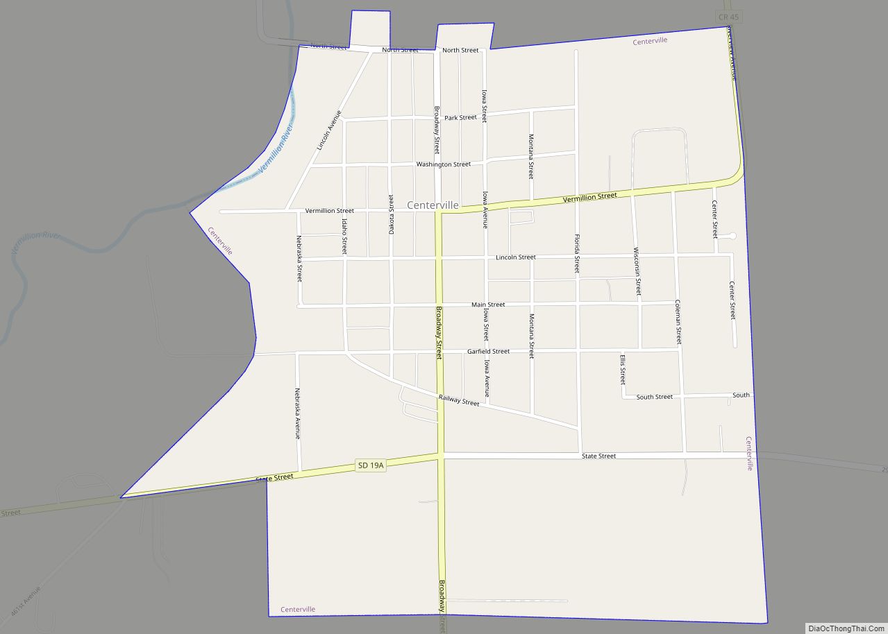
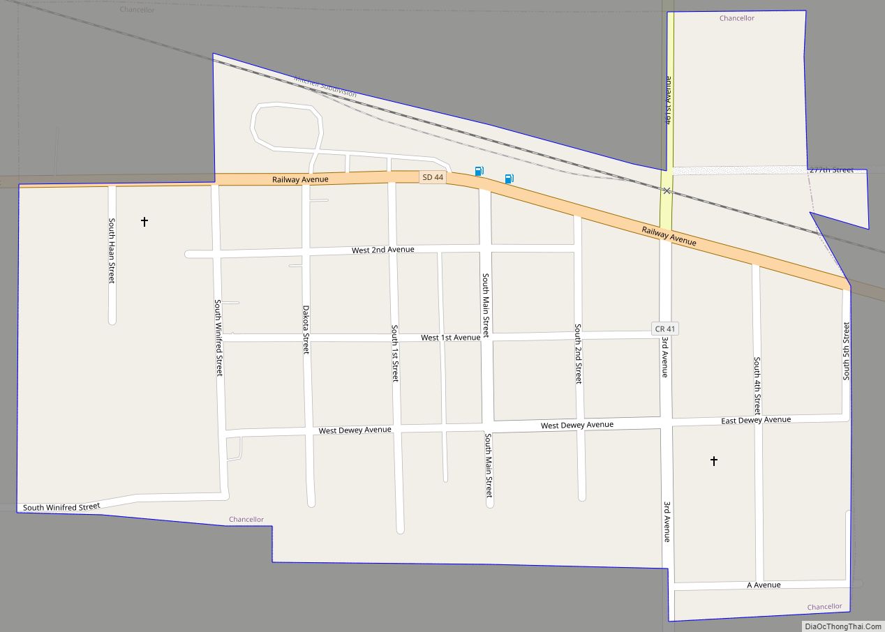
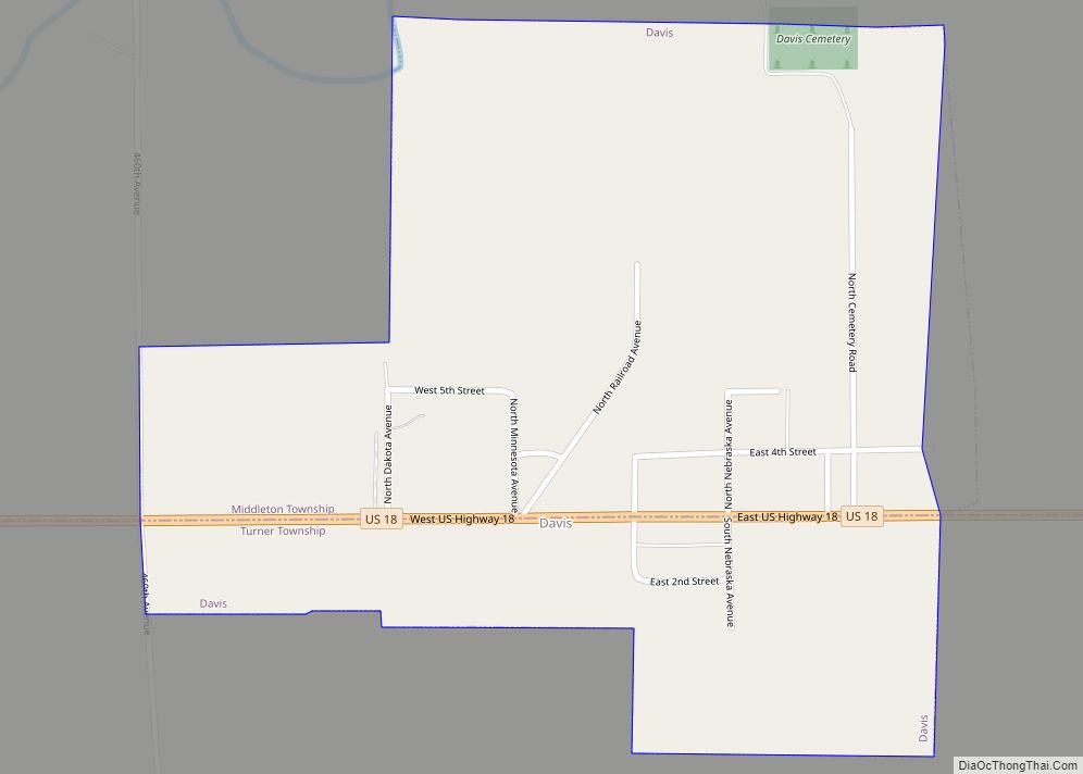
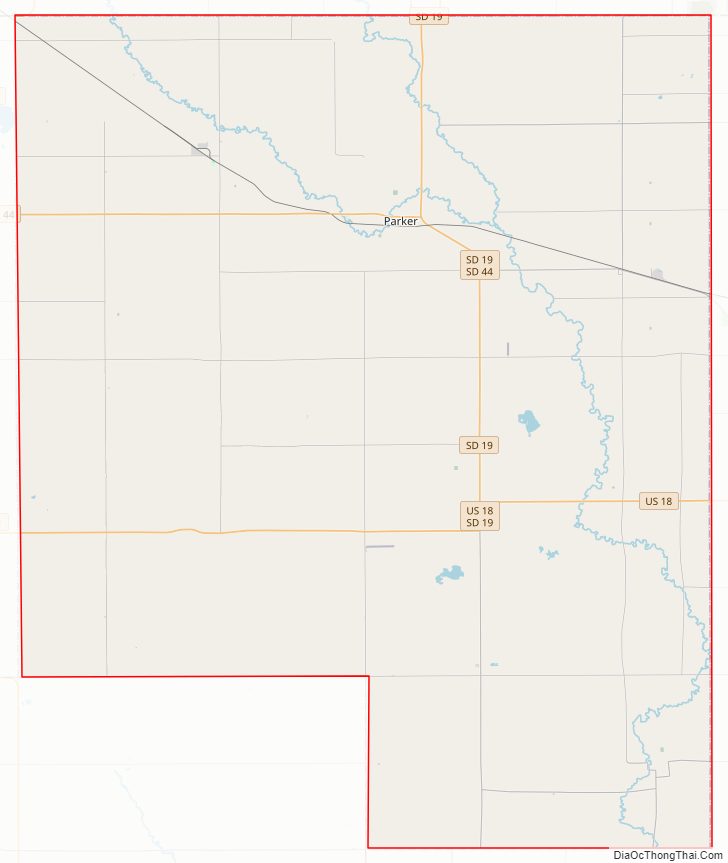
Turner County Road Map
Geography
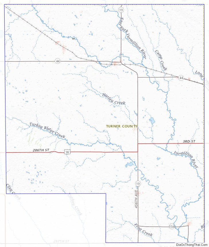
The terrain of Turner County consists of rolling hills, carved by gullies and drainages. The area is largely devoted to agriculture. The terrain slopes to the south and east; its highest point is along its west boundary line, at 1,578′ (481m) ASL. The county has a total area of 618 square miles (1,600 km), of which 617 square miles (1,600 km) is land and 0.6 square miles (1.6 km) (0.1%) is water.
Major highways
- U.S. Highway 18
- U.S. Highway 81
- South Dakota Highway 19
- South Dakota Highway 44
- South Dakota Highway 46
- South Dakota Highway 19A
Adjacent counties
- Minnehaha County – northeast
- Lincoln County – east
- Clay County – southeast
- Yankton County – southwest
- Hutchinson County – west
- McCook County – northwest
Protected areas
- Miller Waterfowl Production Area
- Peterson Waterfowl Production Area
- Plucker Waterfowl Production Area
Lakes
- Mud Lake
- Swan Lake
Turner County Topographic Map
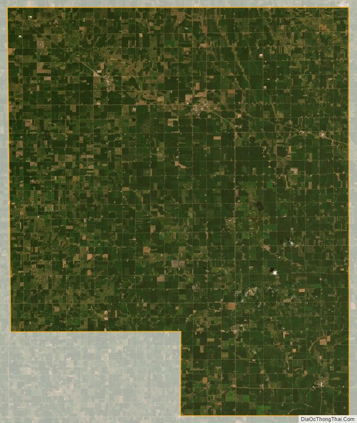
Turner County Satellite Map
Turner County Outline Map