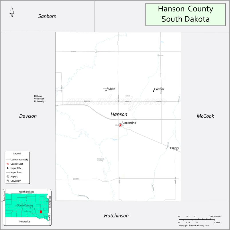
Hanson County is a county in the U.S. state of South Dakota. As of the 2020 census, the population was 3,461. Its county seat is Alexandria. The county was founded in 1871 and organized in 1873. It was named for Joseph R. Hanson, clerk of the first legislature.
Hanson County is part of the Mitchell, SD Micropolitan Statistical Area. The county is somewhat unique among those in the United States in that there are no officially registered airports within the county borders.
| Name: | Hanson County |
|---|---|
| FIPS code: | 46-061 |
| State: | South Dakota |
| Founded: | 1873 |
| Named for: | Joseph R. Hanson |
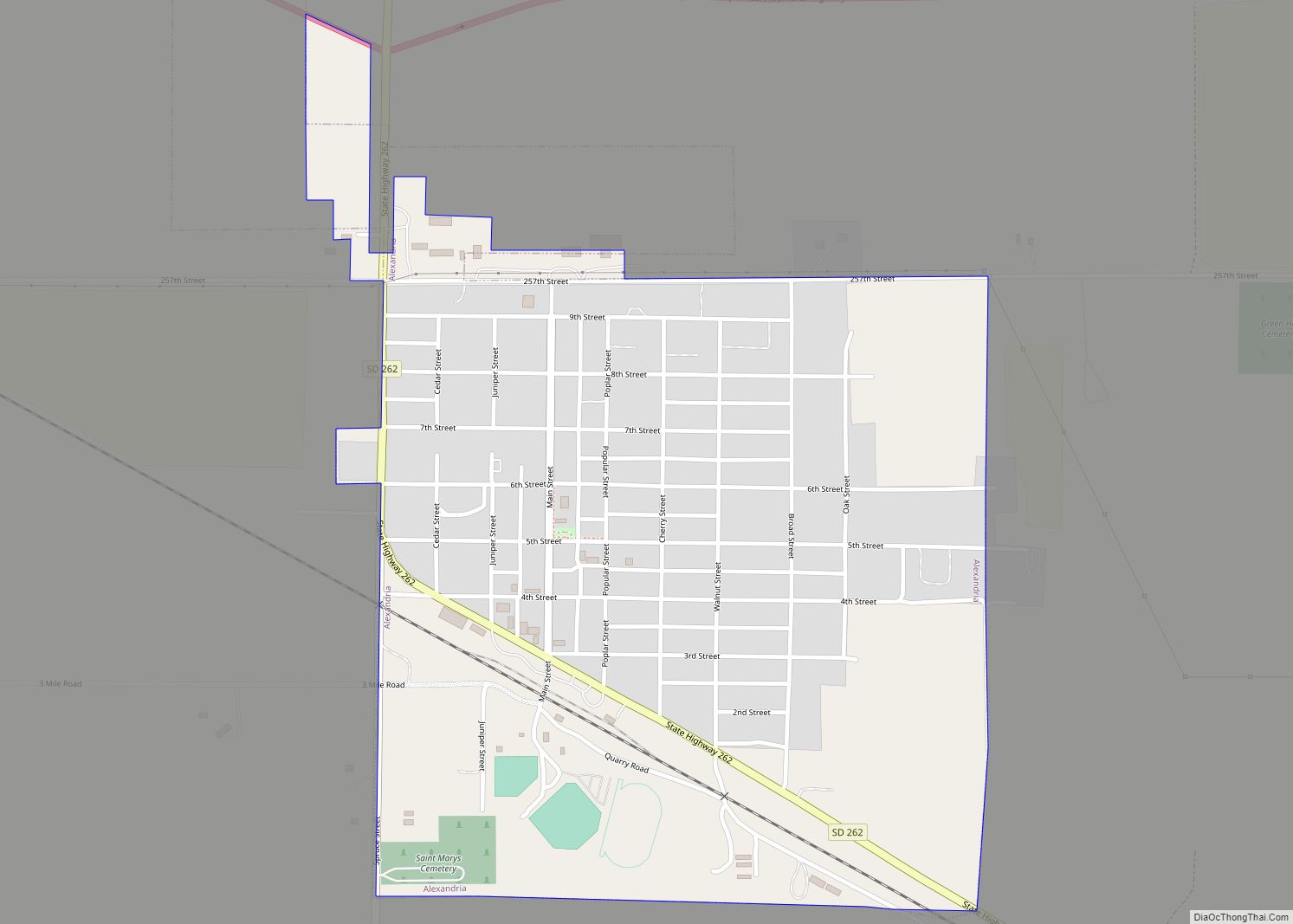
| Seat: | Alexandria |
| Largest city: | Alexandria |
| Total Area: | 434.5 sq mi (1,125 km²) |
| Land Area: | 435.4 sq mi (1,128 km²) |
| Total Population: | 3,461 |
| Population Density: | 8.0/sq mi (3.1/km²) |
| Time zone: | UTC−6 (Central) |
| Summer Time Zone (DST): | UTC−5 (CDT) |
| Website: | www.hansoncounty.net |
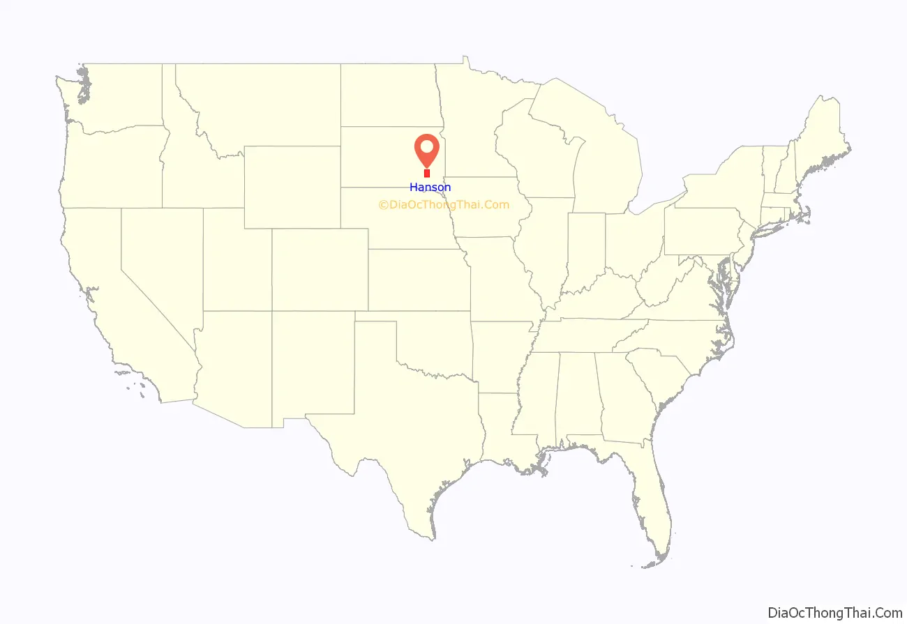
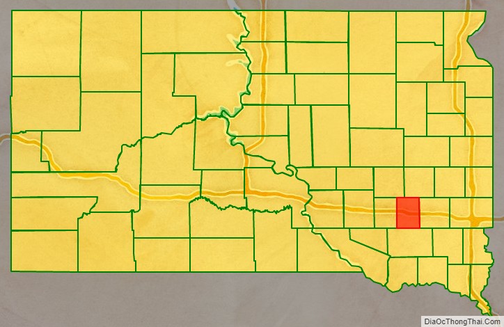
Hanson County location map. Where is Hanson County?
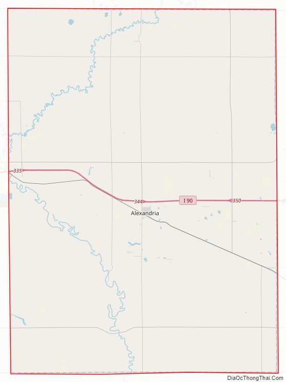
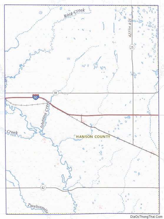
Hanson County Road Map
Geography
The terrain of Hanson County consists of low rolling hills; its area is mostly devoted to agriculture. The James River flows southeastward through the lower western part of the county. The terrain slopes toward the river basin on both sides, and generally gently slopes to the south.
Hanson county has a total area of 435.3 square miles (1,127 km), of which 434.5 square miles (1,125 km) is land and 0.9 square miles (2.3 km) (0.2%) is water. It is the third-smallest county in South Dakota by area.
Major highways
- Interstate 90
- South Dakota Highway 25
- South Dakota Highway 38
- South Dakota Highway 42
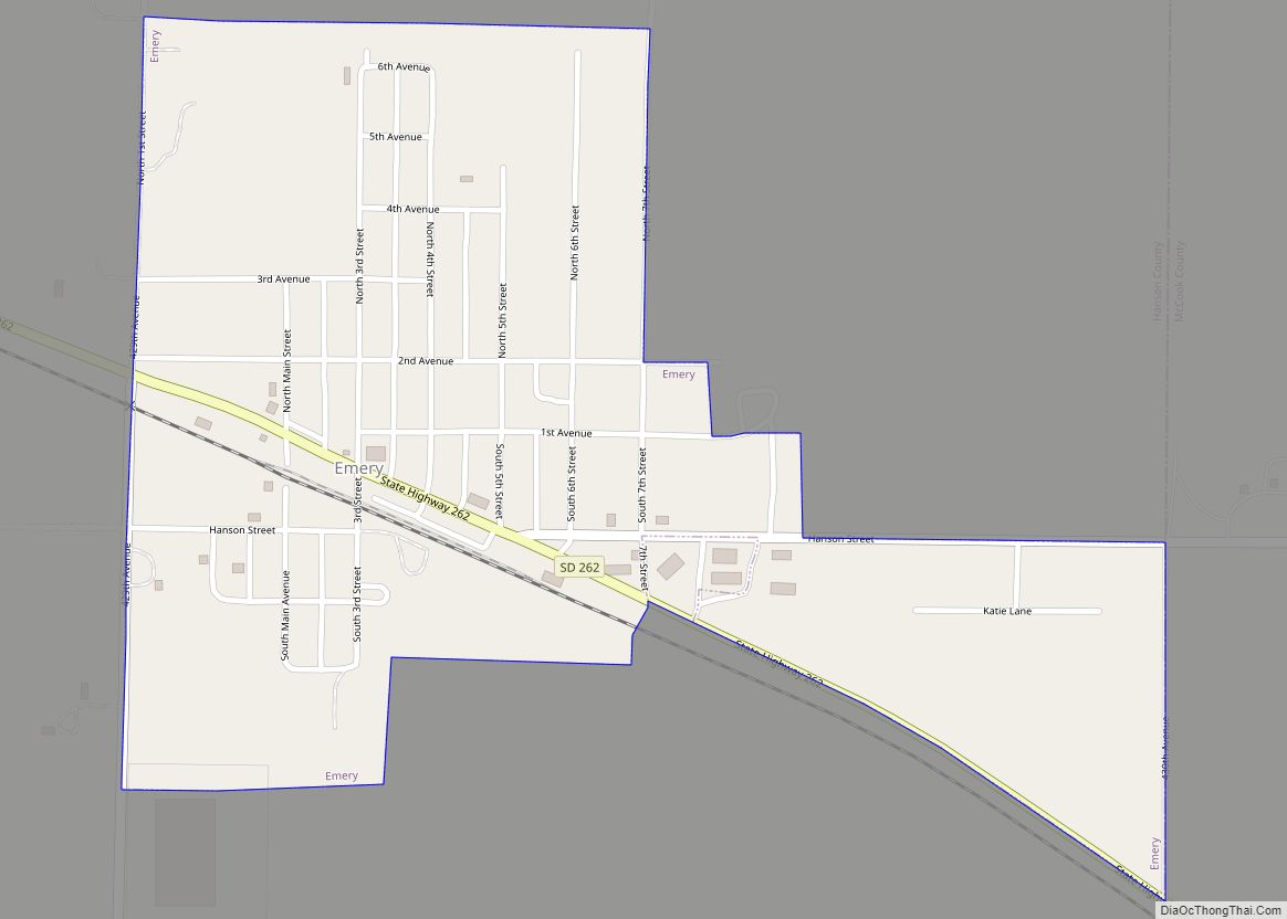
- South Dakota Highway 262
Adjacent counties
- Miner County – north
- McCook County – east
- Hutchinson County – south
- Davison County – west
- Sanborn County – northwest
Hanson County Topographic Map
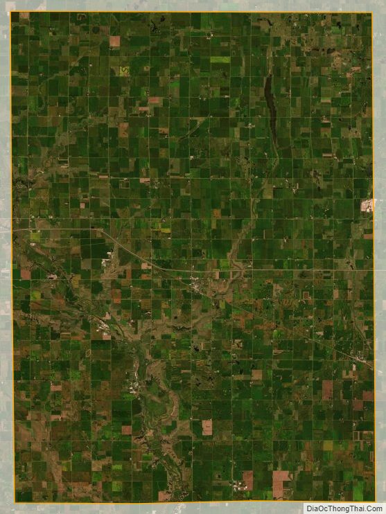
Hanson County Satellite Map
Hanson County Outline Map