Giles County is a county located in the U.S. state of Tennessee. As of the 2020 census, the population was 30,346. Its county seat is Pulaski.
| Name: | Giles County |
|---|---|
| FIPS code: | 47-055 |
| State: | Tennessee |
| Founded: | November 14, 1809 |
| Named for: | William B. Giles |
| Seat: | Pulaski |
| Largest city: | Pulaski |
| Total Area: | 611 sq mi (1,580 km²) |
| Land Area: | 611 sq mi (1,580 km²) |
| Total Population: | 30,346 |
| Population Density: | 49.7/sq mi (19.2/km²) |
| Time zone: | UTC−6 (Central) |
| Summer Time Zone (DST): | UTC−5 (CDT) |
| Website: | gilescountytn.gov |
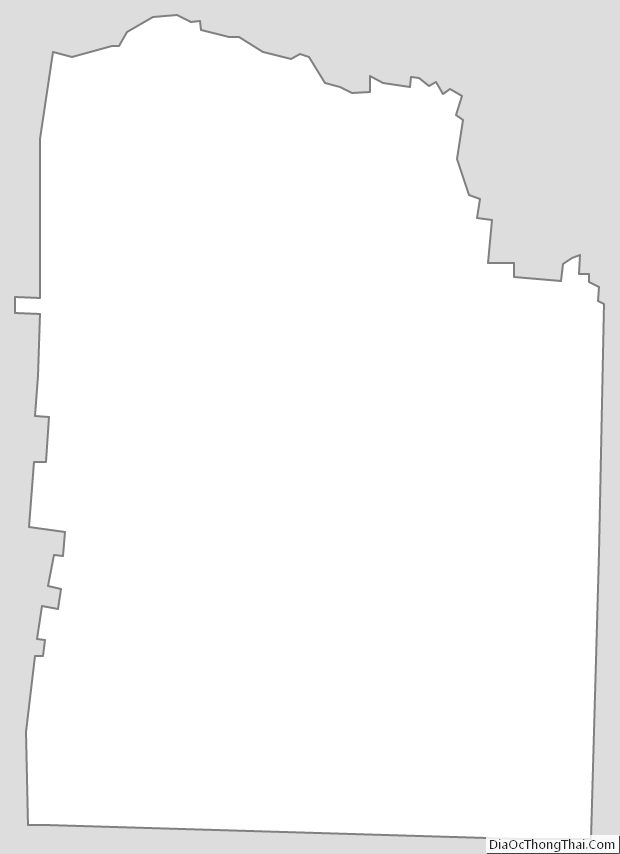
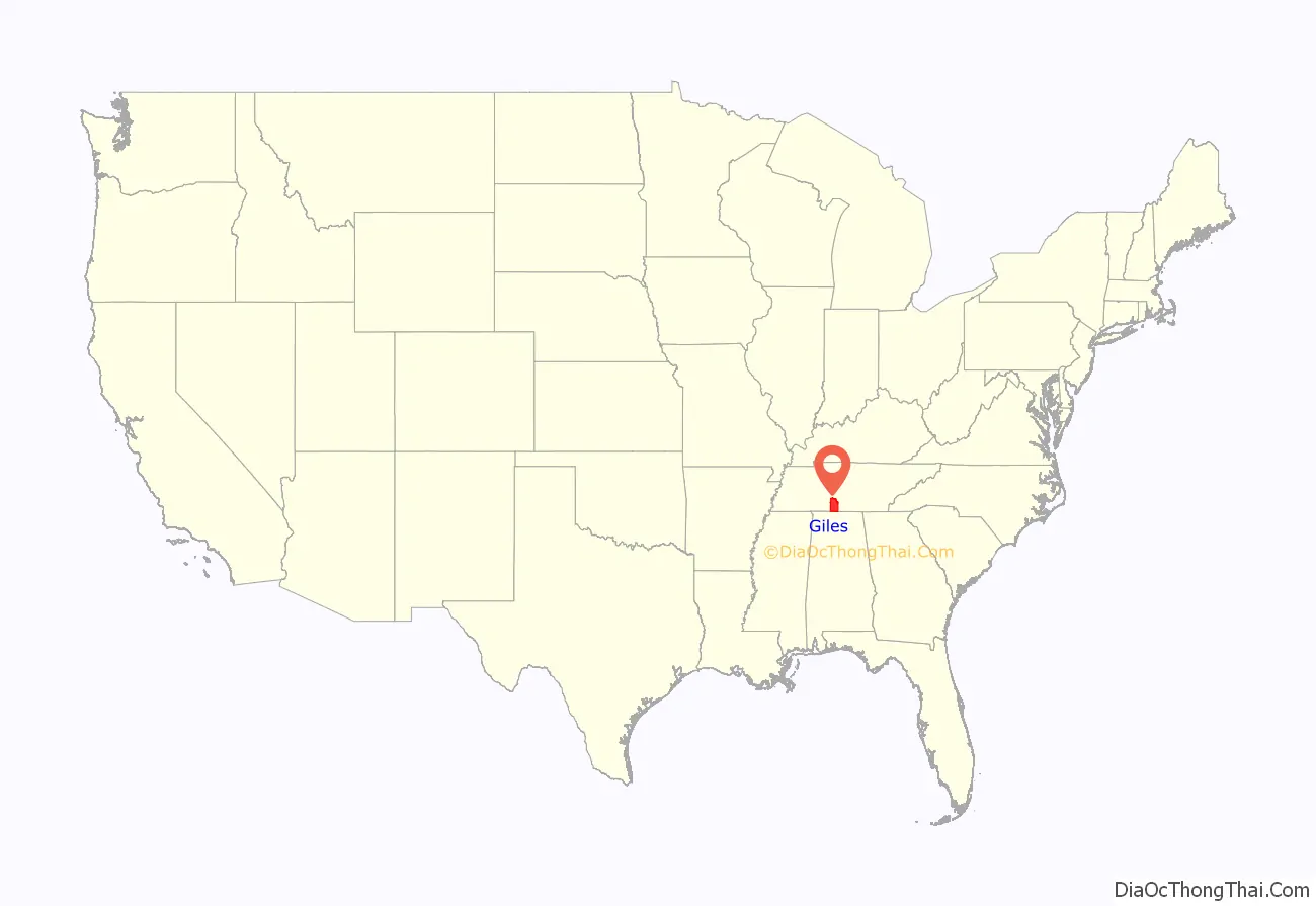
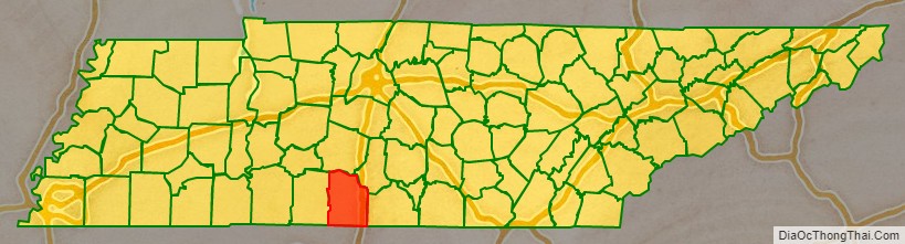
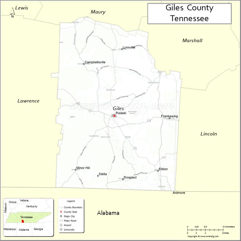
Giles County location map. Where is Giles County?
History
Giles County is named after William Branch Giles, a Senator from Virginia who sponsored the admission of Tennessee as the sixteenth state into the Union. He also sponsored the building of the city and courthouse, which has burned four times. The current courthouse was built in 1909. One of Giles County’s local heroes is James McCallum, who served as Grandmaster of the Tennessee Masons, a member of the Confederate Congress, and mayor. He lived in Giles County for seventy years.
Until Maury County was established in November 1807, the area of the future Giles County was part of Williamson County. Two years after the formation of Maury County, Giles County was created from southern Maury County on November 14, 1809, by an act of the State Legislature. Nearly half of the new county lay in Chickasaw territory until September 1816.
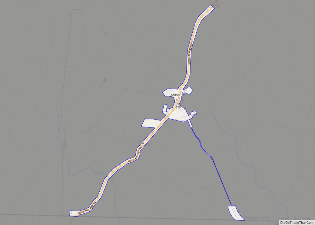
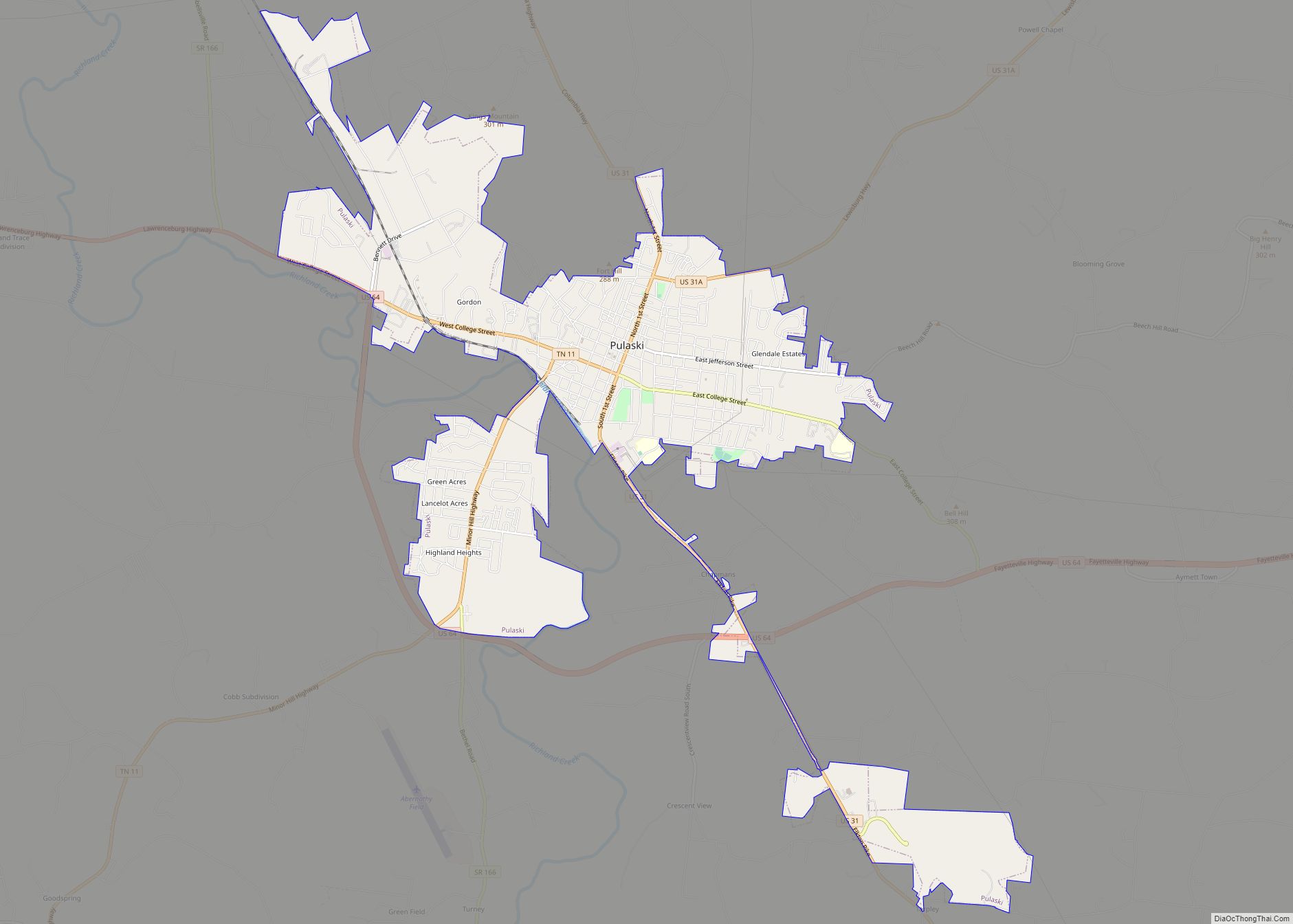
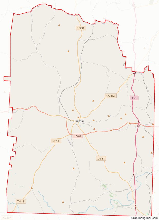
Giles County Road Map
Geography
According to the U.S. Census Bureau, the county has a total area of 611 square miles (1,580 km), of which 611 square miles (1,580 km) is land and 0.2 square miles (0.52 km) (0.04%) is water.
Adjacent counties
- Maury County (north)
- Marshall County (northeast)
- Lincoln County (east)
- Limestone County, Alabama (south)
- Lauderdale County, Alabama (southwest)
- Lawrence County (west)
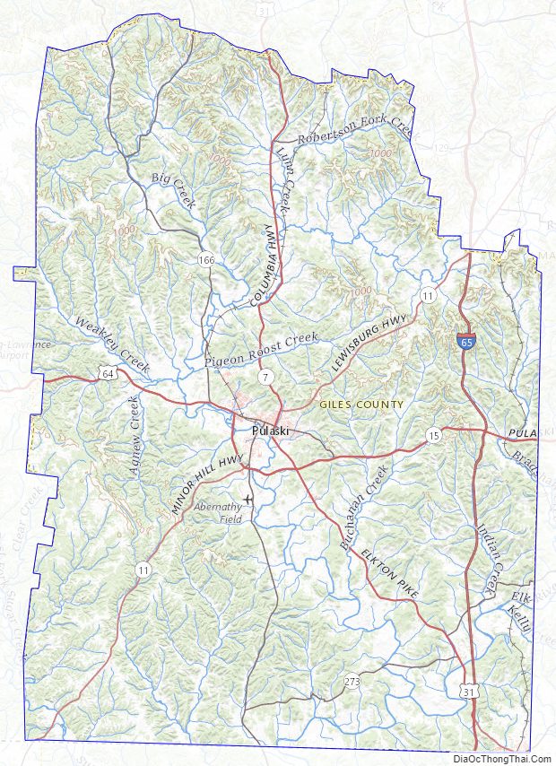
Giles County Topographic Map
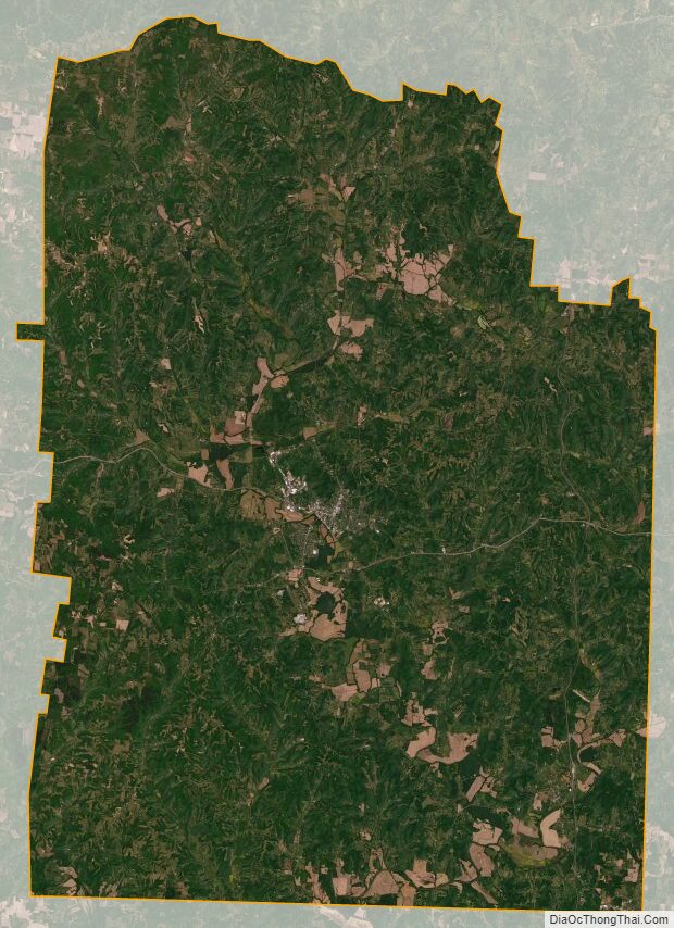
Giles County Satellite Map
Giles County Outline Map