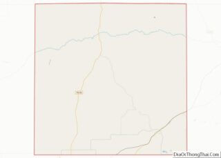
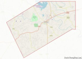
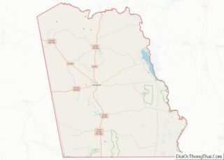
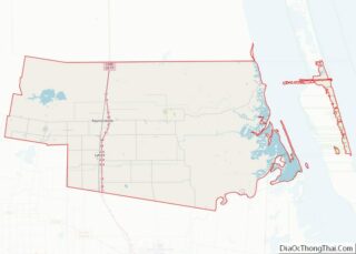
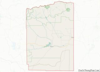
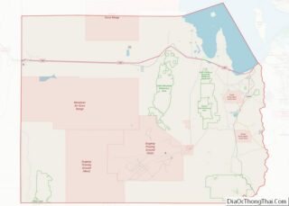
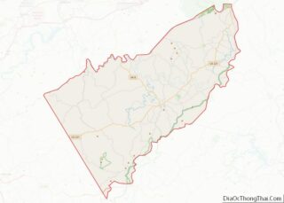
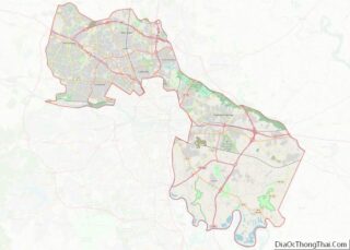
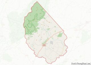
Map of Gilmer County, Georgia
Gilmer County is a county located in the north central portion of the U.S. state of Georgia. As of the 2020 census, the population was 31,353. The county seat is Ellijay. It was based on a historic Cherokee town also spelled as Elejoy in the eighteenth century. The county was created on December 3, 1832 ... Read more
Map of Gilmer County, Georgia
Map of Irwin County, Georgia
Irwin County is a county located in the U.S. state of Georgia. As of the 2020 census, the population was 9,666. The county seat is Ocilla. The county was created on December 15, 1818. It was named for Governor Jared Irwin. In the last years of the American Civil War, Irwin County gained the nickname ... Read more
Map of Irwin County, Georgia
Map of Lumpkin County, Georgia
Lumpkin County is a county located in the north central portion of the U.S. state of Georgia. As of the 2020 census, the population was 33,488. Its county seat is Dahlonega. Lumpkin County overview: Name: Lumpkin County FIPS code: 13-187 State: Georgia Founded: 1832 Named for: Wilson Lumpkin Seat: Dahlonega Largest city: Dahlonega Total Area: ... Read more
Map of Lumpkin County, Georgia
Map of Oglethorpe County, Georgia
Oglethorpe County is a county located in the northeastern part of the U.S. state of Georgia. As of the 2020 census, the population was 14,825. The county seat is Lexington. Oglethorpe County is included in the Athens-Clarke County, GA Metropolitan Statistical Area, which is also included in the Atlanta-Athens-Clarke County-Sandy Springs, GA Combined Statistical Area. ... Read more
Map of Oglethorpe County, Georgia
Map of Seminole County, Georgia
Seminole County is a county located in the southwestern corner of U.S. state of Georgia. As of the 2020 census, the population was 9,147. The county seat is Donalsonville. Seminole County overview: Name: Seminole County FIPS code: 13-253 State: Georgia Founded: 1920 Named for: Seminole tribe Seat: Donalsonville Largest city: Donalsonville Total Area: 257 sq mi (670 km²) ... Read more
Map of Seminole County, Georgia
Map of Troup County, Georgia
Troup County (pronounced /truːp/ TROOP) is a county located in the west central portion of the U.S. state of Georgia. As of the 2020 census, the population was 69,426. The county seat is LaGrange. Troup County comprises the LaGrange, GA Micropolitan Statistical Area along with Chambers County, AL. It is included in the Atlanta-Athens-Clarke County-Sandy ... Read more
Map of Troup County, Georgia
Map of Wilkes County, Georgia
Wilkes County is a county located in the east central portion of the U.S. state of Georgia. As of the 2020 census, the population was 9,565. The county seat is the city of Washington. Referred to as “Washington-Wilkes”, the county seat and county are commonly treated as a single entity by locals, including the area’s ... Read more
Map of Wilkes County, Georgia
Map of Bonner County, Idaho
Bonner County is a county in the northern part of the U.S. state of Idaho. As of the 2020 census, the population was 47,110. The county seat and largest city is Sandpoint. Partitioned from Kootenai County and established in 1907, it was named for Edwin L. Bonner, a ferry operator. Bonner County comprises the Sandpoint, ... Read more
Map of Bonner County, Idaho
Map of Idaho County, Idaho
Idaho County is a county in the U.S. state of Idaho, and the largest by area in the state. As of the 2020 census, the population was 16,541. The county seat is Grangeville. Previous county seats of the area were Florence (1864–68), Washington (1868–75), and Mount Idaho (1875–1902). Idaho County overview: Name: Idaho County FIPS ... Read more
Map of Idaho County, Idaho
Map of Teton County, Idaho
Teton County is a county located in the U.S. state of Idaho. As of the 2020 census, the population was 11,630. The county seat is Driggs, and the largest city is Victor. The county was established in 1915 and was named after the Teton Mountains to the east. Teton County is part of the Jackson, ... Read more
Map of Teton County, Idaho
Map of Clay County, Illinois
Clay County is a county in the U.S. state of Illinois. As of the 2010 United States Census, the population was 13,815. Since 1842, its county seat has been Louisville, in the center of the county’s area. In 1950, the U.S. Census Bureau placed the mean center of U.S. population in Clay County. Clay County ... Read more
Map of Clay County, Illinois
Map of Fulton County, Illinois
Fulton County is a county in the U.S. state of Illinois. According to the 2010 census, it had a population of 37,069. Its county seat is Lewistown, and the largest city is Canton. Fulton County comprises the Canton, IL Micropolitan Statistical Area, which is part of the Peoria-Canton, IL Combined Statistical Area. Fulton County overview: ... Read more
Map of Fulton County, Illinois