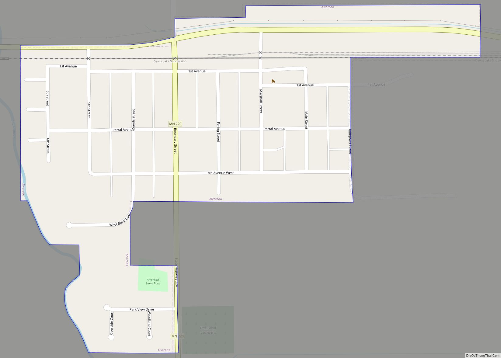
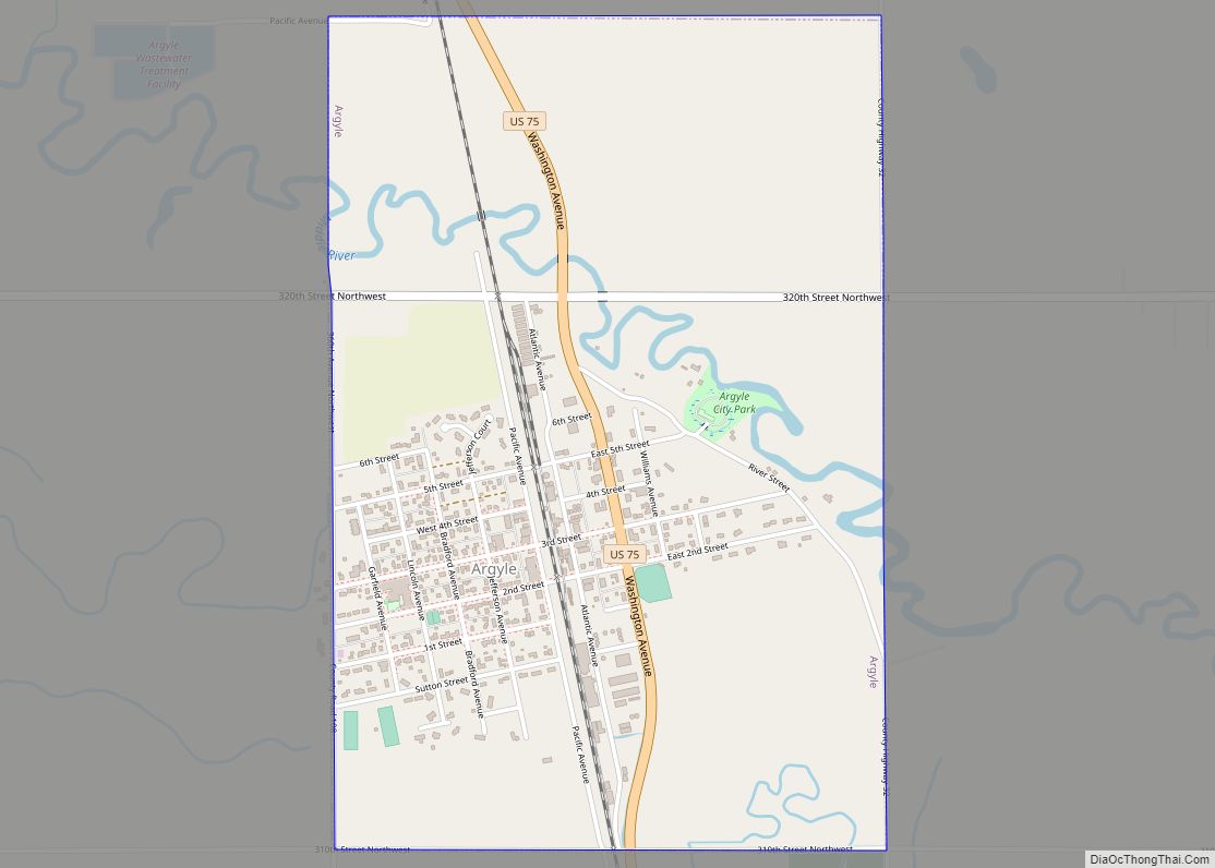
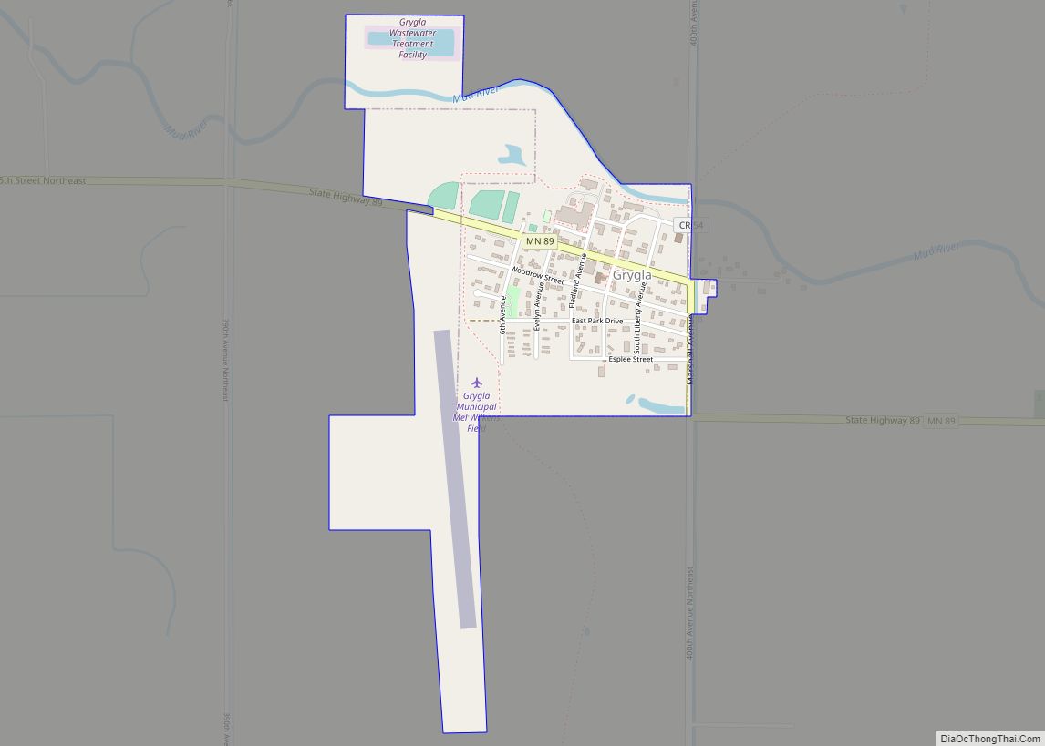
Marshall County is a county in the northwestern part of the U.S. state of Minnesota. As of the 2020 census, the population was 9,040. Its county seat is Warren.
Marshall County was the location of a claimed UFO incident in 1979, the Val Johnson incident.
| Name: | Marshall County |
|---|---|
| FIPS code: | 27-089 |
| State: | Minnesota |
| Founded: | February 25, 1879 |
| Named for: | William Rainey Marshall |
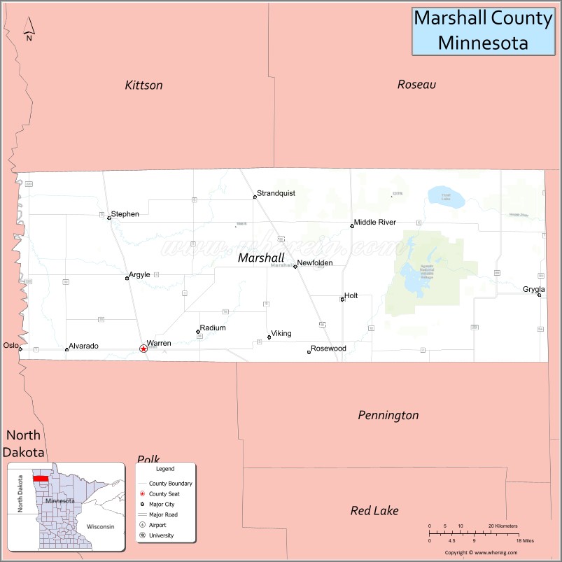
| Seat: | Warren |
| Largest city: | Warren |
| Total Area: | 1,813 sq mi (4,700 km²) |
| Land Area: | 1,775 sq mi (4,600 km²) |
| Total Population: | 9,040 |
| Population Density: | 5.1/sq mi (2.0/km²) |
| Time zone: | UTC−6 (Central) |
| Summer Time Zone (DST): | UTC−5 (CDT) |
| Website: | www.co.marshall.mn.us |
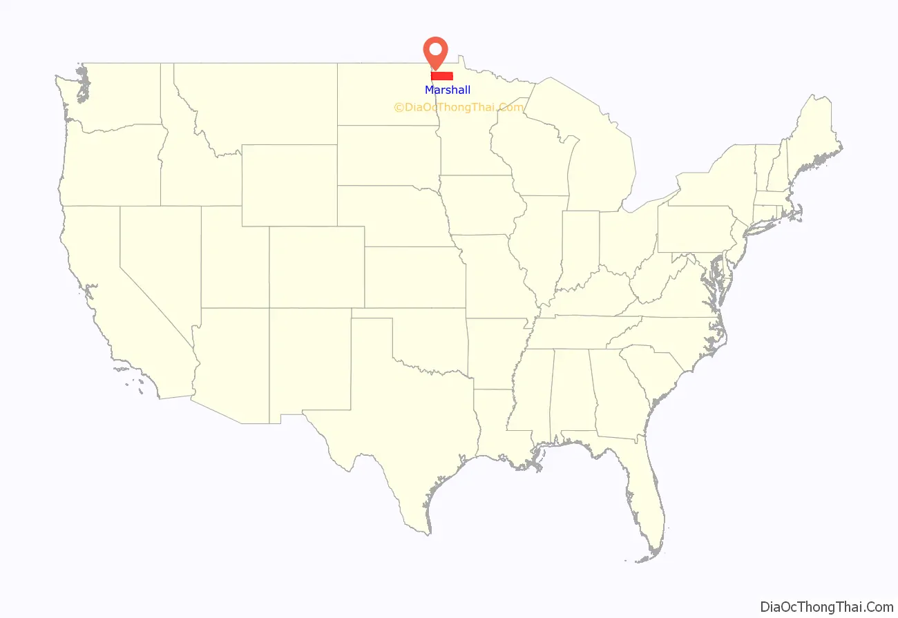
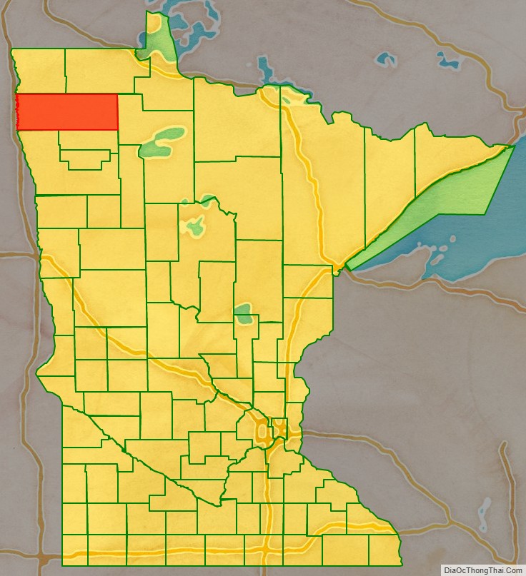
Marshall County location map. Where is Marshall County?
History
The Minnesota legislature created the county on February 25, 1879, with territory partitioned from the southern half of Kittson County, with Warren (which was first platted that same year) as the county seat. It was named for William Rainey Marshall, who served as Minnesota governor from 1866 to 1870.
Marshall County Road Map
Geography
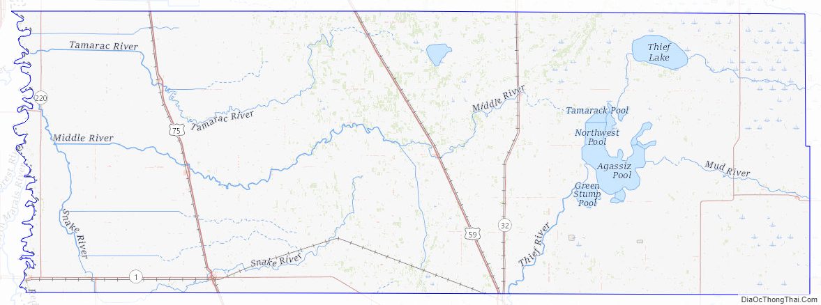
Marshall County lies on Minnesota’s border with North Dakota (across the Red River, which flows north along the county’s western border). The Snake River rises in Polk County and flows north through the western part of the county to its confluence with the Red. The Tamarac River rises in Marshall County and flows west through the county’s northern area to its confluence with the Red. The Middle River also rises in Marshall County and flows west through the southern part of the county, discharging into the Snake just upstream of the Snake/Red confluence. The county terrain consists of low rolling hills, carved with drainages, completely devoted to agriculture where possible. The terrain slopes to the west and north, with its highest point near the midpoint of its eastern border, at 1,194′ (364m) ASL. The county has an area of 1,813 square miles (4,700 km), of which 1,775 square miles (4,600 km) is land and 38 square miles (98 km) (2.1%) is water. Marshall is one of 17 Minnesota savanna region counties where savanna soils predominate. The true highpoint is in the northeast of the county and caltopo displays 1237 ft at 48.5339°N, -96.0167°W
Major highways
- U.S. Highway 59
- U.S. Highway 75
- Minnesota State Highway 1
- Minnesota State Highway 32
- Minnesota State Highway 89
- Minnesota State Highway 219
- Minnesota State Highway 220
- Minnesota State Highway 317
Airports
- Stephen Municipal Airport (D41) – northeast of Stephen
Adjacent counties
- Kittson County – north
- Roseau County – northeast
- Beltrami County – east
- Pennington County – southeast
- Polk County – south
- Grand Forks County, North Dakota – southwest
- Walsh County, North Dakota – west
- Pembina County, North Dakota – northwest
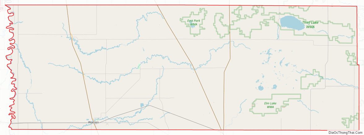
Protected areas
- Agassiz National Wildlife Refuge
- Agassiz Wilderness
- Florian Park
- Florian State Wildlife Management Area
- Old Mill State Park
Lakes
- Thief Lake
- Webster Creek Pool
Marshall County Topographic Map
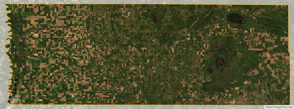
Marshall County Satellite Map
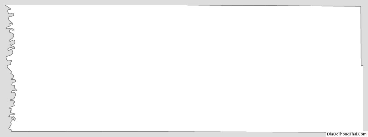
Marshall County Outline Map