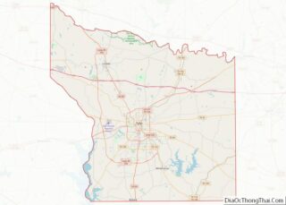
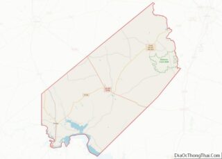
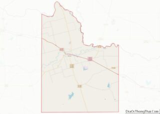
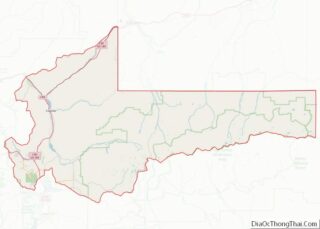
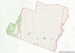
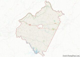
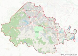
Gwinnett County (/ɡwɪˈnɛt/ gwih-NET) is located in the north central portion of the U.S. state of Georgia. It forms part of the Atlanta metropolitan area. In 2020, the population was 957,062, making it the second-most populous county in Georgia (after Fulton County). Its county seat is Lawrenceville. The county is named for Button Gwinnett, one ... Read more
Map of US Counties
Johnson County is a county located in the U.S. state of Georgia. As of the 2020 census, the population was 9,189. The county seat is Wrightsville. Johnson County is part of the Dublin, Georgia, Micropolitan Statistical Area. Johnson County overview: Name: Johnson County FIPS code: 13-167 State: Georgia Founded: 1858 Named for: Herschel Vespasian Johnson ... Read more
Meriwether County is a county located in the west central portion of the U.S. state of Georgia. As of the 2020 census, the population was 20,613. The county seat is Greenville, home of the Meriwether County Courthouse. The county was formed on December 14, 1827, as the 73rd county in Georgia. It was named for ... Read more
Polk County overview: Name: Polk County FIPS code: 13-233 State: Georgia Founded: 1851 Named for: James K. Polk Seat: Cedartown Largest city: Cedartown Total Area: 312 sq mi (810 km²) Land Area: 310 sq mi (800 km²) Total Population: 42,853 Population Density: 138/sq mi (53/km²) Time zone: UTC−5 (Eastern) Summer Time Zone (DST): UTC−4 (EDT) Website: www.polkgeorgia.org Polk County location map. Where ... Read more
Taliaferro County (/ˈtɒlɪvər/ TOL-iv-ər) is a county located in the U.S. state of Georgia. As of the 2020 census, the population was 1,559, down from the 2010 census when the population was 1,717, making it the least populous county in Georgia and the second-least populous county east of the Mississippi River (after Issaquena County, Mississippi). ... Read more
Walton County is a county located in the north central portion of the U.S. state of Georgia. As of the 2020 census, the population was 96,673. It is located about 30 miles east of the state capital, the city of Atlanta. Monroe is the county seat; Loganville is another major city. Walton County is part ... Read more
Kauaʻi County (Hawaiian: Kalana o Kauaʻi) (officially known as the County of Kauaʻi) is a county in the U.S. state of Hawaiʻi. It consists of the islands of Kauaʻi, Niʻihau, Lehua, and Kaʻula. As of the 2020 Census the population was 73,298. The county seat is Līhuʻe. The Kapa’a Micropolitan Statistical Area includes all of ... Read more
Caribou County is a county located in the U.S. state of Idaho. As of the 2020 Census the county had a population of 7,027. The county seat and largest city is Soda Springs. Caribou County overview: Name: Caribou County FIPS code: 16-029 State: Idaho Founded: February 11, 1919 Named for: Caribou Mountains Seat: Soda Springs ... Read more
Lewis County is a county located in the north central region of the U.S. state of Idaho. As of the 2020 census, the population was 3,533, making it the fourth-least populous county in Idaho. The county seat is Nezperce, and Kamiah is the largest city. Partitioned from Nez Perce County and established in 1911, it ... Read more
Bond County is a county located in the U.S. state of Illinois. As of the 2020 census, the population was 16,725. Its county seat is Greenville. Bond County is included in the St. Louis, MO-IL Metropolitan Statistical Area. Bond County overview: Name: Bond County FIPS code: 17-005 State: Illinois Founded: 1817 Named for: Shadrach Bond ... Read more
DeKalb County is a county located in the U.S. state of Illinois. As of the 2020 United States Census, the population was 100,420. Its county seat is Sycamore. DeKalb County is part of the Chicago-Naperville–Elgin, IL-IN–WI Metropolitan Statistical Area. DeKalb County overview: Name: DeKalb County FIPS code: 17-037 State: Illinois Founded: 4 March 1837 Named ... Read more
Hardin County overview: Name: Hardin County FIPS code: 17-069 State: Illinois Founded: 1839 Named for: Hardin County, Kentucky Seat: Elizabethtown Largest city: Rosiclare Total Area: 182 sq mi (470 km²) Land Area: 178 sq mi (460 km²) Total Population: 3,649 Population Density: 20/sq mi (8/km²) Time zone: UTC−6 (Central) Summer Time Zone (DST): UTC−5 (CDT) Website: www.hardincountyil.org Hardin County location map. Where ... Read more