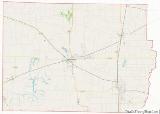
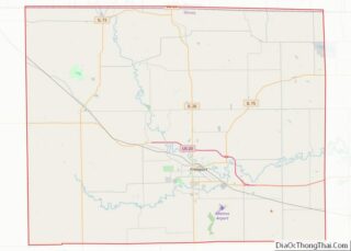
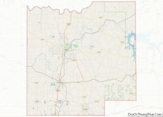
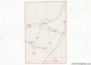
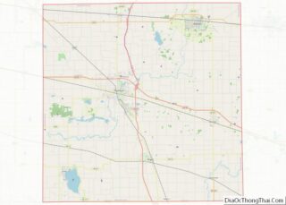
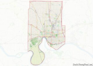
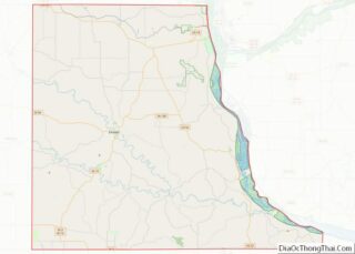
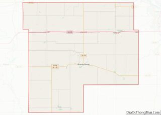
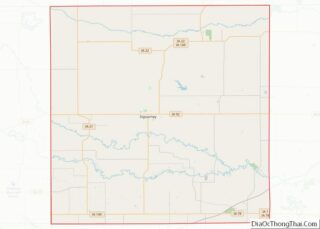
Map of Mercer County

Map of Mercer County, Ohio

Mercer County overview: Name: Mercer County FIPS code: 39-107 State: Ohio Founded: January 2, 1824 Named for: Hugh Mercer Seat: Celina Largest city: Celina Total Area: 473 sq mi (1,230 km²) Land Area: 462 sq mi (1,200 km²) Total Population: 42,528 Population Density: 90/sq mi (30/km²) Time zone: UTC−5 (Eastern) Summer Time Zone (DST): UTC−4 (EDT) Website: www.mercercountyohio.org Mercer County location map. … Read more

Map of Richland County

Map of Richland County, Ohio

Richland County is a county located in the U.S. state of Ohio. As of the 2020 census, the population was 124,936. Its county seat is Mansfield. The county was created in 1808 and later organized in 1813. It is named for the fertile soil found there. Richland County is included in the Mansfield, OH Metropolitan … Read more

Map of Williams County

Map of Williams County, Ohio

Williams County is a county located in the U.S. state of Ohio. As of the 2020 census, the population was 37,102. Its county seat is Bryan. The county was created in 1820 and later organized in 1824. It is named for David Williams, one of the captors of John André in the American Revolutionary War. … Read more

Map of Cleveland County

Map of Cleveland County, Oklahoma

Cleveland County is a county in the central part of the U.S. state of Oklahoma. The population was 295,528 at the 2020 United States Census, making it the third-most populous county in Oklahoma. Its county seat is Norman. The county was named for U.S. President Grover Cleveland. Cleveland County is part of the Oklahoma City … Read more

Map of Harper County

Map of Harper County, Oklahoma

Harper County is a county located in the U.S. state of Oklahoma. As of the 2010 census, the population was 3,685, making it the fourth-least populous county in Oklahoma. The county seat is Buffalo. It was created in 1907 from the northwestern part of Woodward County, and named for Oscar Green Harper, who was clerk … Read more

Map of Mayes County

Map of Mayes County, Oklahoma

Mayes County is a county located in the U.S. state of Oklahoma. As of the 2010 census, the population was 41,259. Its county seat is Pryor Creek. Named for Samuel Houston Mayes, Principal Chief of the Cherokee Nation from 1895 to 1899, it was originally created at the Sequoyah Convention in August 1905. Mayes County … Read more

Map of Pontotoc County

Map of Pontotoc County, Oklahoma

Pontotoc County is in the south central part of Oklahoma. As of the 2010 census, the population was 37,492. Its county seat is Ada. The county was created at statehood from part of the Chickasaw Nation in Indian Territory. It was named for a historic Chickasaw tribal area in Mississippi. According to the Encyclopedia of … Read more

Map of Baker County

Map of Baker County, Oregon

Baker County overview: Name: Baker County FIPS code: 41-001 State: Oregon Founded: September 22, 1862 Named for: Edward D. Baker Seat: Baker City Largest city: Baker City Total Area: 3,088 sq mi (8,000 km²) Land Area: 3,068 sq mi (7,950 km²) Total Population: 16,668 Population Density: 5.22/sq mi (2.02/km²) Time zone: UTC−8 (Pacific) Summer Time Zone (DST): UTC−7 (PDT) Website: www.bakercounty.org Baker … Read more

Map of Josephine County

Map of Josephine County, Oregon

Josephine County is one of the 36 counties in the U.S. state of Oregon. As of the 2020 census, the population was 88,090. The county seat is Grants Pass. The county is named after Virginia Josephine Rollins (1834-1912), a settler who was the first white woman to live in the county’s boundaries. Josephine County comprises … Read more

Map of Wasco County

Map of Wasco County, Oregon

Wasco County is one of the 36 counties in the U.S. state of Oregon. As of the 2020 census, the population was 25,213. Its county seat is The Dalles. The county is named for a local tribe of Native Americans, the Wasco, a Chinook tribe who live on the south side of the Columbia River. … Read more

Map of Carbon County

Map of Carbon County, Pennsylvania

Carbon County is a county in the Commonwealth of Pennsylvania. It is located in Northeastern Pennsylvania. As of the 2020 census, the population was 64,749. The county is also part of Pennsylvania’s Coal Region and Northeastern Pennsylvania. The county seat of Carbon County is Jim Thorpe, which was founded in 1818 as Mauch Chunk and … Read more

Map of Fulton County

Map of Fulton County, Pennsylvania

Fulton County is a county in the Commonwealth of Pennsylvania. As of the 2020 census, the population was 14,556, making it the fourth-least populous county in Pennsylvania. Its county seat is McConnellsburg. The county was created on April 19, 1850, from part of Bedford County and named for inventor Robert Fulton. Fulton County overview: Name: … Read more