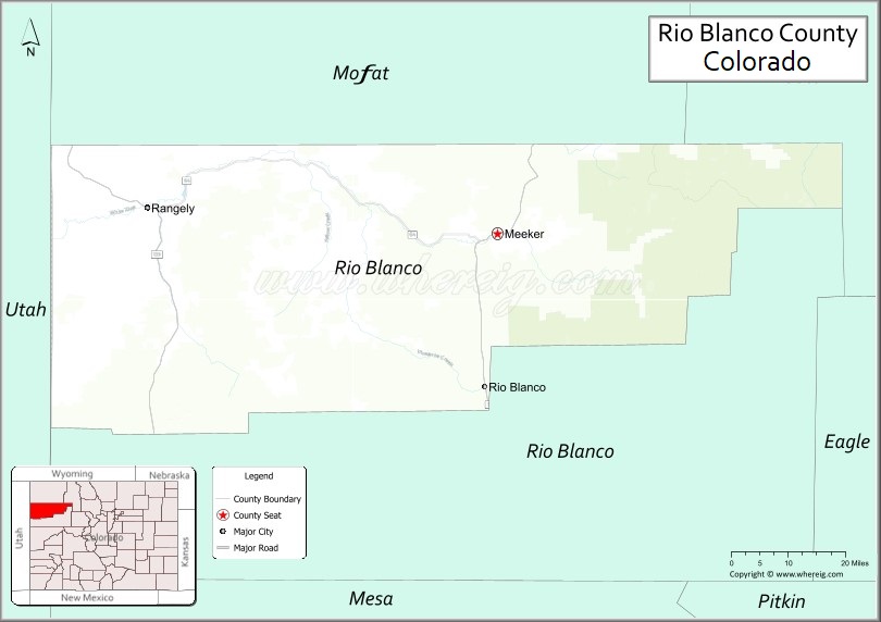
Rio Blanco County (Spanish: Condado del Río Blanco) is a county located in the U.S. state of Colorado. As of the 2020 census, the population was 6,529. The county seat is Meeker. The name of the county is the Spanish name for the White River which runs through it.
| Name: | Rio Blanco County |
|---|---|
| FIPS code: | 08-103 |
| State: | Colorado |
| Founded: | March 25, 1889 |
| Named for: | White River |
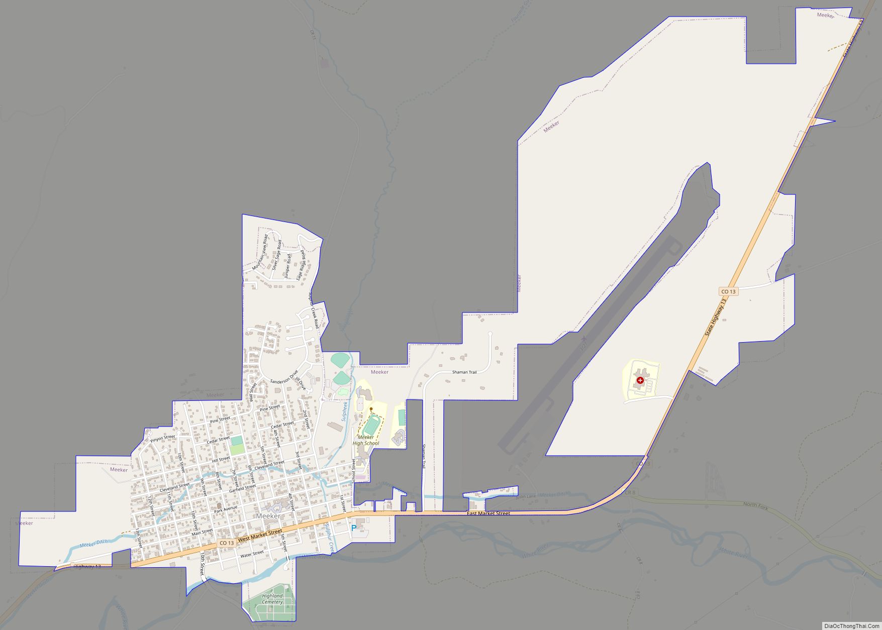
| Seat: | Meeker |
| Largest town: | Meeker |
| Total Area: | 3,223 sq mi (8,350 km²) |
| Land Area: | 3,221 sq mi (8,340 km²) |
| Total Population: | 6,476 |
| Population Density: | 2.0/sq mi (0.8/km²) |
| Time zone: | UTC−7 (Mountain) |
| Summer Time Zone (DST): | UTC−6 (MDT) |
| Website: | www.rbc.us |
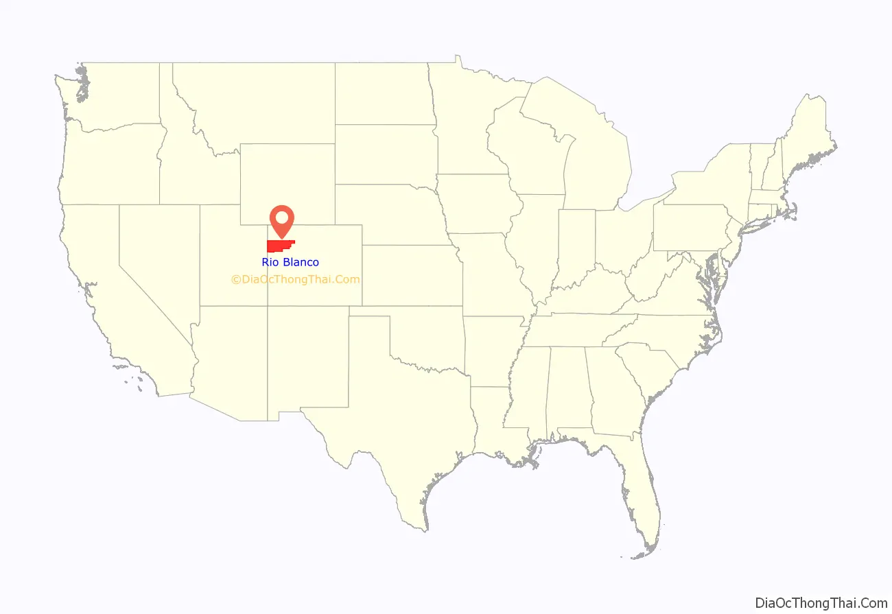
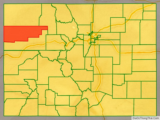
Rio Blanco County location map. Where is Rio Blanco County?
History
Rio Blanco County was created on March 25, 1889, when it was split from Garfield County. The town of Meeker became the county seat.
On May 17, 1973, Rio Blanco County became one of two counties in Colorado to have a peaceful nuclear explosion as a part of Operation Plowshare. There were three nearly simultaneous explosions targeted at fracking oil, all detonated as Project Rio Blanco. The other county is Garfield County under Project Rulison.
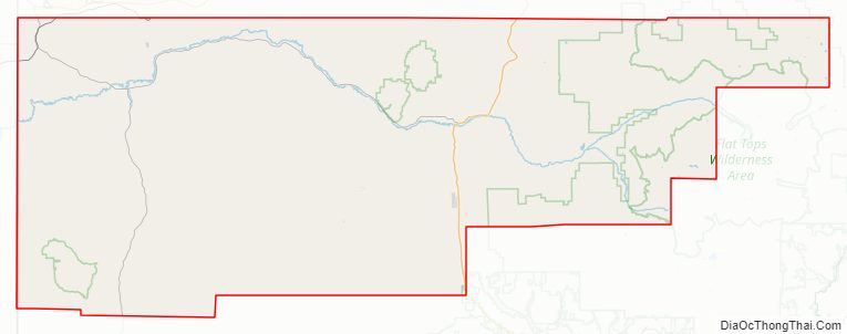
Rio Blanco County Road Map
Geography
According to the U.S. Census Bureau, the county has a total area of 3,223 square miles (8,350 km), of which 3,221 square miles (8,340 km) is land and 1.9 square miles (4.9 km) (0.06%) is water.
Adjacent counties
- Moffat County – north
- Routt County – northeast
- Garfield County – south
- Uintah County, Utah – west
Major Highways
- State Highway 13
- State Highway 64
- State Highway 139
National protected areas
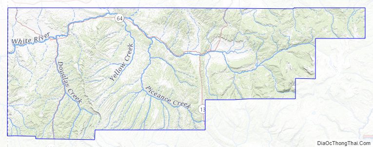
- Routt National Forest
- White River National Forest
- Flat Tops Wilderness
Scenic byways
- Dinosaur Diamond Prehistoric Highway National Scenic Byway
- Flat Tops Trail Scenic Byway
State parks and wildlife areas
- Colorow Mountain State Wildlife Area
Rio Blanco County Topographic Map
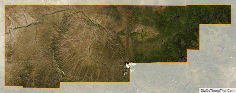
Rio Blanco County Satellite Map
Rio Blanco County Outline Map