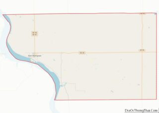
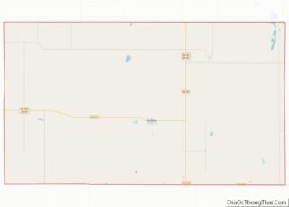
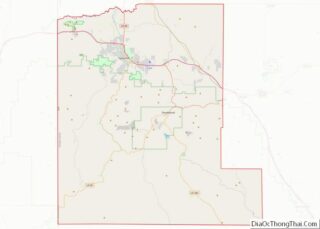
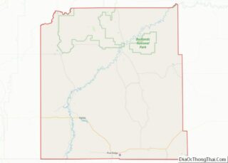
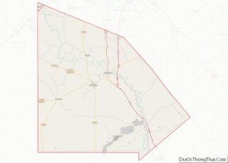
Map of Cocke County, Tennessee
Cocke County is a county on the eastern border of the U.S. state of Tennessee. As of the 2020 census, the population was 35,999. Its county seat is Newport. Cocke County comprises the Newport, TN Micropolitan Statistical Area, which is part of the Knoxville–Morristown–Sevierville, Tennessee Combined Statistical Area. Cocke County overview: Name: Cocke County FIPS ... Read more
Map of Cocke County, Tennessee
Map of Grundy County, Tennessee
Grundy County is a county located in the U.S. state of Tennessee. It is located in Middle Tennessee, bordering East Tennessee. As of 2021, the population was 13,622. Its county seat is Altamont. The county is named in honor of Felix Grundy. Grundy County overview: Name: Grundy County FIPS code: 47-061 State: Tennessee Founded: 1844 ... Read more
Map of Grundy County, Tennessee
Map of Knox County, Tennessee
Knox County is located in the U.S. state of Tennessee. As of the 2020 census, the population was 478,971, making it the third-most populous county in Tennessee. Its county seat is Knoxville, which is the third-most populous city in Tennessee. Knox County is included in the Knoxville metropolitan area. The county is located at the ... Read more
Map of Knox County, Tennessee
Map of Montgomery County, Tennessee
Montgomery County is a county in the U.S. state of Tennessee. As of the 2020 United States census, the population was 220,069. The county seat (and only incorporated municipality) is Clarksville. The county was created in 1796. Montgomery County is included in the Clarksville, TN–KY Metropolitan Statistical Area. Montgomery County overview: Name: Montgomery County FIPS ... Read more
Map of Montgomery County, Tennessee
Map of Shelby County, Tennessee
Shelby County is the westernmost county in the U.S. state of Tennessee. As of the 2020 census, the population was 929,744. It is the largest of the state’s 95 counties, both in terms of population and geographic area. Its county seat is Memphis, a port on the Mississippi River and the second most populous city ... Read more
Map of Shelby County, Tennessee
Map of Wilson County, Tennessee
Wilson County is a county in the U.S. state of Tennessee. It is in Middle Tennessee. As of the 2020 census, the population was 147,737. Its county seat is Lebanon. The largest city is Mt. Juliet. Wilson County is part of the Nashville-Davidson–Murfreesboro–Franklin, TN Metropolitan Statistical Area. Wilson County overview: Name: Wilson County FIPS code: ... Read more
Map of Wilson County, Tennessee
Map of Blanco County, Texas
Blanco County (Spanish: “white”, /ˈblæŋkoʊ/ BLANG-koh) is a United States county located in the U.S. state of Texas. It is located in Central Texas and its county seat is Johnson City. As of the 2020 census, the population was 11,374. The county is named for the Blanco River that traverses the county. Blanco County overview: ... Read more
Map of Blanco County, Texas
Map of Camp County, Texas
Camp County is a county in the eastern part of Texas. As of the 2020 census, its population was 12,464. Its seat is Pittsburg. The county was founded in 1874 and is named for John Lafayette Camp, a Texas politician. Camp County overview: Name: Camp County FIPS code: 48-063 State: Texas Founded: 1874 Named for: ... Read more
Map of Camp County, Texas
Map of Concho County, Texas
Concho County overview: Name: Concho County FIPS code: 48-095 State: Texas Founded: 1879 Named for: Concho River Seat: Paint Rock Largest city: Eden Total Area: 994 sq mi (2,570 km²) Land Area: 984 sq mi (2,550 km²) Total Population: 3,303 Population Density: 3.3/sq mi (1.3/km²) Time zone: UTC−6 (Central) Summer Time Zone (DST): UTC−5 (CDT) Website: www.co.concho.tx.us Concho County location map. Where ... Read more
Map of Concho County, Texas
Map of Dimmit County, Texas
Dimmit County (/ˈdɪmɪt/ DIM-it) is a county located in the U.S. state of Texas. As of the 2020 census, its population was 8,615. The county seat is Carrizo Springs. The county was founded in 1858 and later organized in 1880. It is named after Philip Dimmitt, a major figure in the Texas Revolution. The spelling ... Read more
Map of Dimmit County, Texas
Map of Franklin County, Texas
Franklin County is a county located in the U.S. state of Texas. As of the 2020 census, its population was 10,359. The county seat is Mount Vernon. Franklin County overview: Name: Franklin County FIPS code: 48-159 State: Texas Founded: March, 1875 Seat: Mount Vernon Largest town: Mount Vernon Total Area: 295 sq mi (760 km²) Land Area: 284 sq mi ... Read more
Map of Franklin County, Texas
Map of Hall County, Texas
Hall County is a county located in the U.S. state of Texas. As of the 2020 census, the population is 2,825. Its county seat is Memphis. The county was created in 1876 and later organized in 1890. It is named for Warren D. C. Hall, a secretary of war for the Republic of Texas. Hall ... Read more
Map of Hall County, Texas