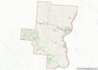
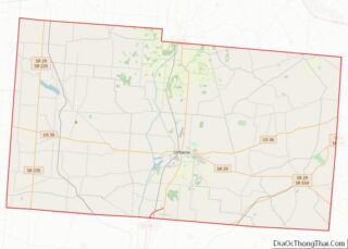
Champaign County is a county located in the U.S. state of Ohio. As of the 2020 census, the population was 38,714. Its county seat and largest city is Urbana. The county takes its name from the French word for “open level country”. Champaign County became the 18th of 88 Ohio counties on March 1, 1805. ... Read more
Map of US Counties
Gallia County (pronunciation: GAL-yuh) is a county located in the U.S. state of Ohio. As of the 2020 census, the population was 29,220. Its county seat and largest village is Gallipolis. Named after the French people who originally settled there, its name “Gallia” is the Latin word for Gaul, the ancient region of Western Europe ... Read more
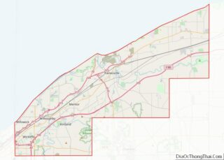
Lake County is a county in the U.S. state of Ohio. As of the 2020 census, the population was 232,603. The county seat is Painesville. The county was established on March 6, 1840, from land given by Cuyahoga and Geauga Counties. Its name is derived from its location on the southern shore of Lake Erie. ... Read more
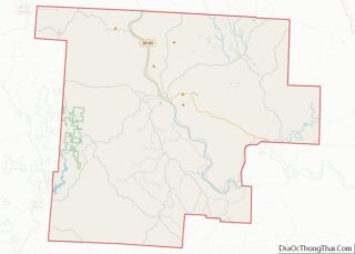
Morgan County is a county located in the U.S. state of Ohio. As of the 2020 census, the population was 13,802, making it the third-least populous county in Ohio. Its county seat is McConnelsville. The county was created in 1817 and later organized in 1819. It is named for Daniel Morgan, an officer in the ... Read more
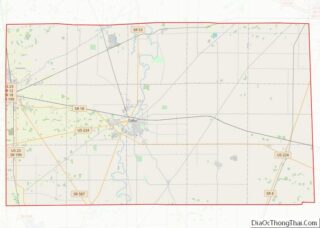
Seneca County is a county located in the northwestern part of the U.S. state of Ohio. As of the 2020 census, the population was 55,069. Its county seat is Tiffin. The county was created in 1820 and organized in 1824. It is named for the Seneca Indians, the westernmost nation of the Iroquois Confederacy. This ... Read more
Alfalfa County is a county located in the U.S. state of Oklahoma. As of the 2010 census, the population was 5,642. The county seat is Cherokee. Alfalfa County was formed at statehood in 1907 from Woods County. The county is named after William H. “Alfalfa Bill” Murray, the president of the Oklahoma Constitutional Convention and ... Read more
Craig County is a county in the U.S. state of Oklahoma. As of the 2010 census, the population was 15,029. Its county seat is Vinita. The county was organized in 1907, shortly before statehood, and named for Granville Craig, a prominent Cherokee farmer who lived in the Bluejacket area. Craig County overview: Name: Craig County ... Read more
Jefferson County is a county located in the U.S. state of Oklahoma. As of the 2010 census, the population was 6,472. Its county seat is Waurika. The county was created at statehood and named in honor of President Thomas Jefferson. Jefferson County overview: Name: Jefferson County FIPS code: 40-067 State: Oklahoma Founded: 1907 Named for: ... Read more
Murray County is a county located in the southern part of the U.S. state of Oklahoma. As of the 2010 census, the population was 13,488. This is a 6.9 percent increase from 12,623 at the 2000 census. The county seat is Sulphur. The county was named for William H. Murray, a member and president of ... Read more
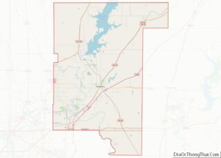
Rogers County is located in the northeastern part of the U.S. state of Oklahoma. As of the 2020 census, the population was 95,240, making it the sixth-most populous county in Oklahoma. The county seat is Claremore. Rogers County is included in the Tulsa, OK Metropolitan Statistical Area. Created in 1907 from the western Saline District ... Read more
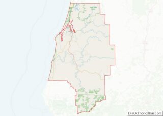
Coos County (/kuːs/ KOOSS) is one of the 36 counties in the U.S. state of Oregon. As of the 2020 census, the population was 64,929. The county seat is Coquille. The county was formed from the western parts of Umpqua and Jackson counties. It is named after a tribe of Native Americans who live in ... Read more
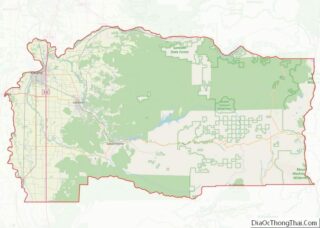
Linn County overview: Name: Linn County FIPS code: 41-043 State: Oregon Founded: December 28, 1847 Named for: Lewis F. Linn Seat: Albany Largest city: Albany Total Area: 2,309 sq mi (5,980 km²) Land Area: 2,290 sq mi (5,900 km²) Total Population: 128,610 Population Density: 56/sq mi (22/km²) Time zone: UTC−8 (Pacific) Summer Time Zone (DST): UTC−7 (PDT) Website: www.co.linn.or.us Linn County location ... Read more