Costilla County (Spanish for “rib”) is a county located in the U.S. state of Colorado. As of the 2020 census, the population was 3,499. The county seat is San Luis, the oldest continuously occupied town in Colorado.
| Name: | Costilla County |
|---|---|
| FIPS code: | 08-023 |
| State: | Colorado |
| Founded: | November 1, 1861 |
| Seat: | San Luis |
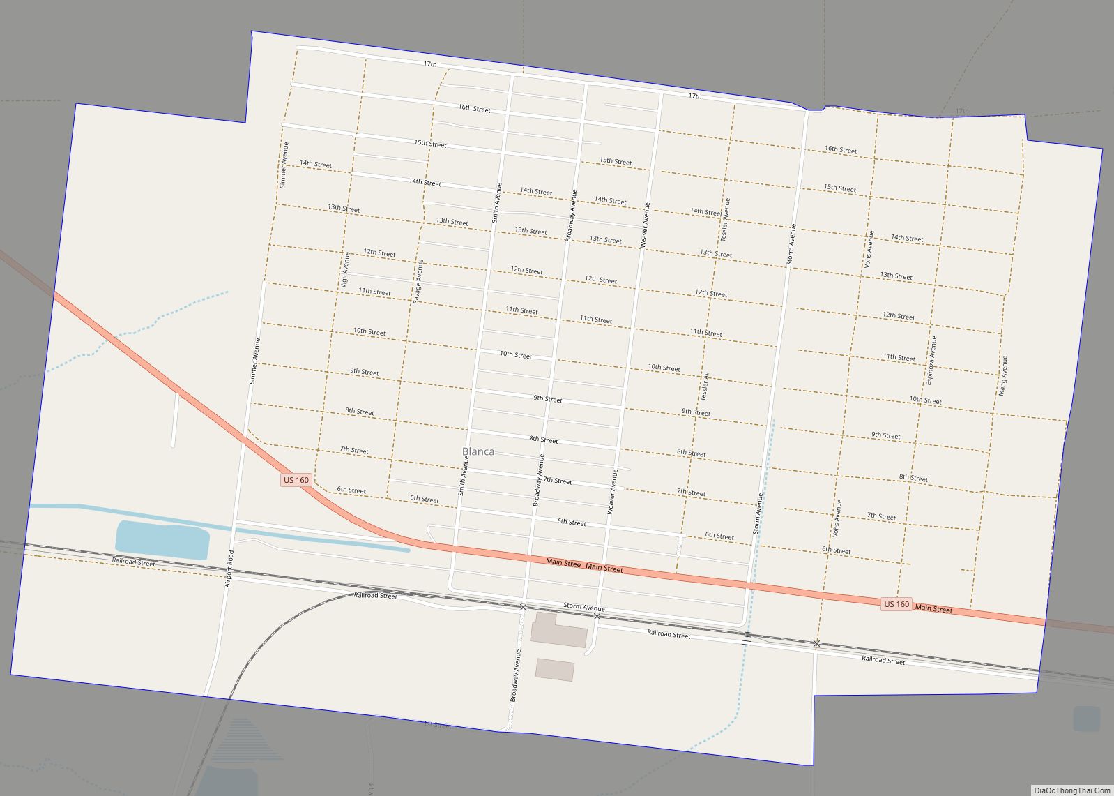
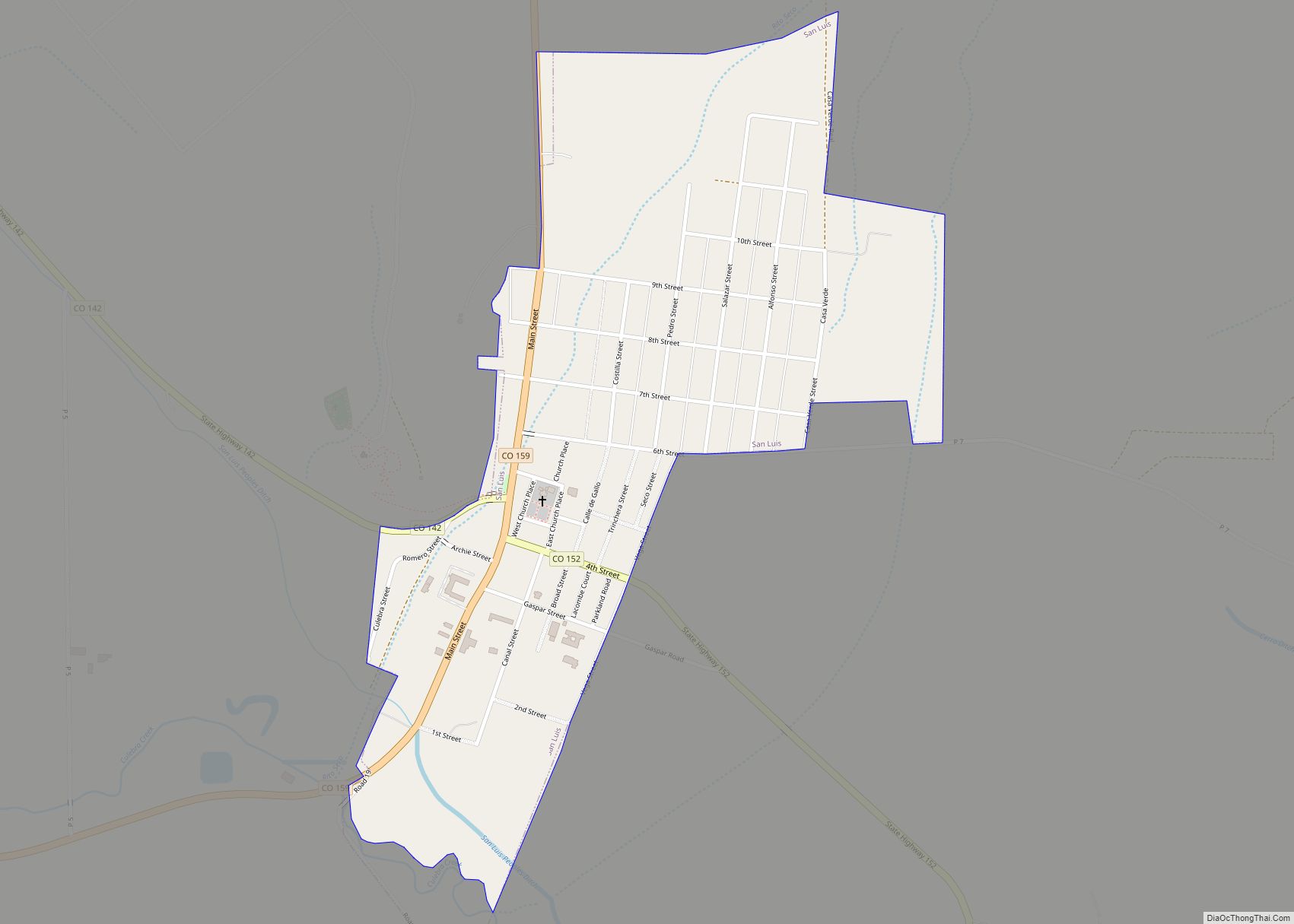
| Largest town: | San Luis |
| Total Area: | 1,230 sq mi (3,200 km²) |
| Land Area: | 1,227 sq mi (3,180 km²) |
| Total Population: | 3,625 |
| Population Density: | 2.9/sq mi (1.1/km²) |
| Time zone: | UTC−7 (Mountain) |
| Summer Time Zone (DST): | UTC−6 (MDT) |
| Website: | costillacounty.colorado.gov |
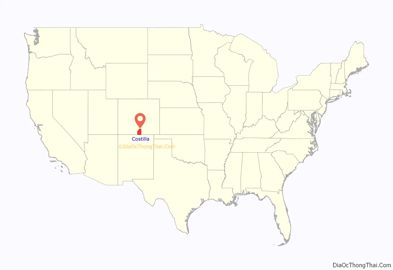
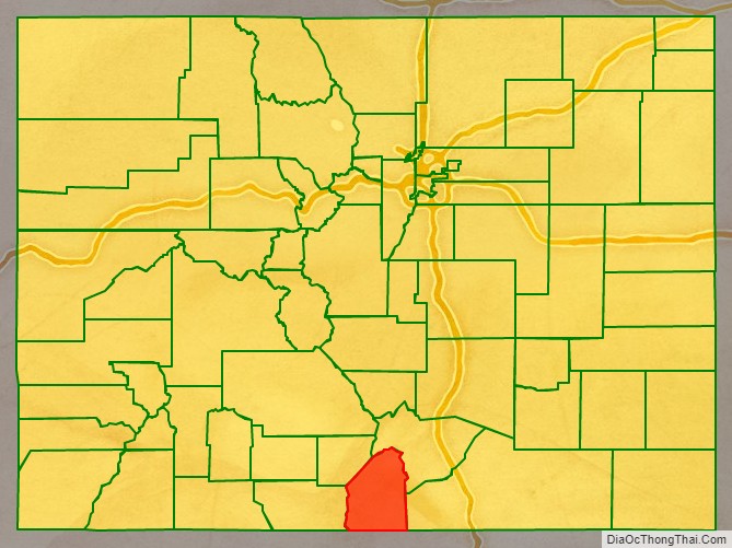
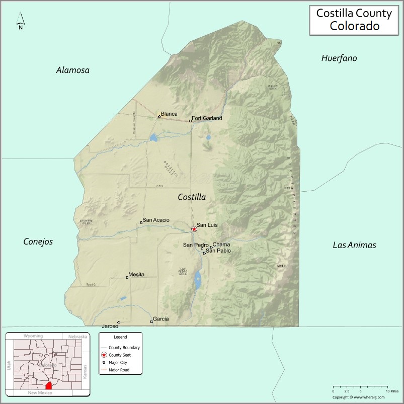
Costilla County location map. Where is Costilla County?
History
On July 8, 1694, Spanish Conquistador Don Diego de Vargas and his army, two weeks before the Battle of Astialakwa, reached Costilla County. Diego Vargas is not the first Spaniard in Colorado. Juan de Archuleta led an expedition into Colorado in 1664 – but his expedition is the first traceable Spanish expedition into Colorado. In 1647, Governor Luis Rosas fought with the Utes in northern New Mexico. While Rosa came near Colorado, it has not been verified he actually did.
Costilla County was the first area of Colorado to be settled by European-Americans. The county made up the major part of the Sangre de Cristo Land Grant awarded by the government of New Mexico to the Carlos Beaubien family in 1843. Hispanic settlers from Taos, New Mexico, officially established San Luis on April 9, 1851. Costilla County was one of the original 17 counties created by the Territory of Colorado on November 1, 1861. The county was named for Costilla Creek. San Miguel was originally designated the county seat, but the county government was moved to San Luis in 1863. (In 1869, surveys placed San Miguel in the New Mexico Territory.)
The county’s original boundaries extended over much of south-central Colorado. Much of the northern portion became part of Saguache County in 1866, and the western portions were folded into Hinsdale and Rio Grande counties in 1874. Costilla County arrived at its modern boundaries in 1913 when Alamosa County was created from its northwest portions.
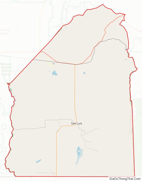
Costilla County Road Map
Geography
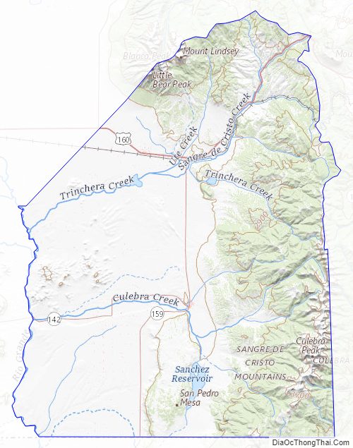
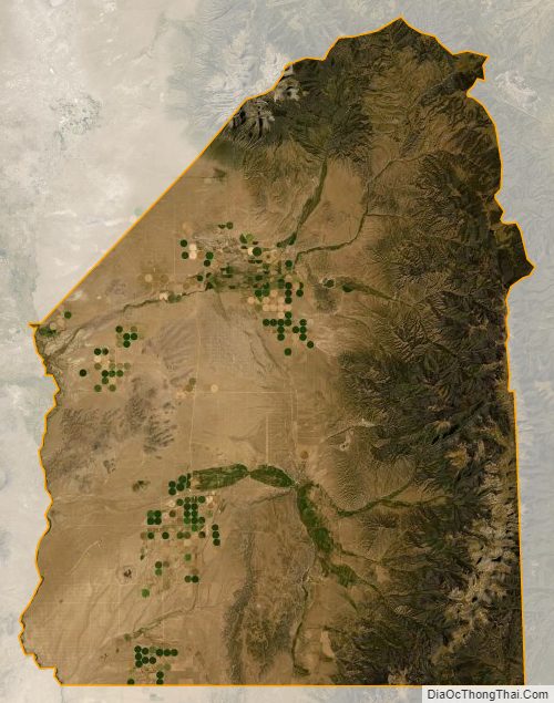
According to the U.S. Census Bureau, the county has a total area of 1,230 square miles (3,200 km), of which 1,227 square miles (3,180 km) is land and 304 square miles (790 km) (0.3%) is water.
Adjacent counties
- Huerfano County – northeast
- Las Animas County – east
- Colfax County, New Mexico – southeast
- Taos County, New Mexico – south
- Conejos County – west
- Alamosa County – northwest
Major Highways
- U.S. Highway 160
- State Highway 142
- State Highway 159
National protected area
- San Isabel National Forest
Historic trails and sites
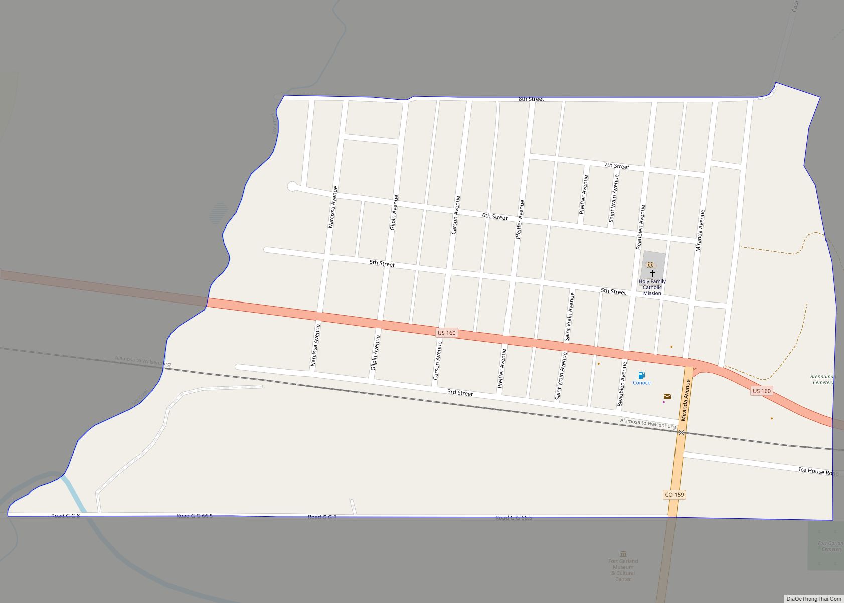
- Fort Garland State History Museum
- Los Caminos Antiguos Scenic and Historic Byway
- Old Spanish National Historic Trail
Costilla County Topographic Map
Costilla County Satellite Map
Costilla County Outline Map