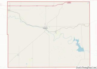
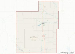
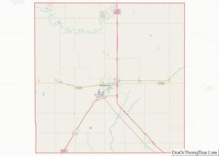
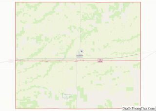
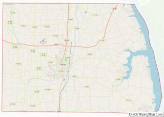
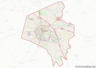
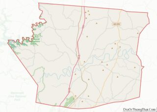
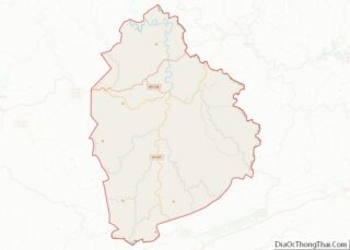
Map of Sioux County, Nebraska
Sioux County is a county in the U.S. state of Nebraska. As of the 2010 United States Census, the population was 1,311. Its county seat is Harrison. Sioux County is included in the Scottsbluff, NE Micropolitan Statistical Area. In the Nebraska license plate system, Sioux County is represented by the prefix 80 (it had the ... Read more
Map of Sioux County, Nebraska
Map of Esmeralda County, Nevada
Esmeralda County overview: Name: Esmeralda County FIPS code: 32-009 State: Nevada Founded: November 25, 1861 Named for: Emerald Seat: Goldfield Total Area: 3,589 sq mi (9,300 km²) Land Area: 3,582 sq mi (9,280 km²) Total Population: 729 Population Density: 0.20/sq mi (0.078/km²) Time zone: UTC−8 (Pacific) Summer Time Zone (DST): UTC−7 (PDT) Website: www.accessesmeralda.com Esmeralda County location map. Where is Esmeralda County? ... Read more
Map of Esmeralda County, Nevada
Map of Grafton County, New Hampshire
Grafton County is a county in the U.S. state of New Hampshire. As of the 2020 census, the population was 91,118. Its county seat is North Haverhill, a village within the town of Haverhill. Until 1972, the county courthouse and other offices were in downtown Woodsville, a larger village within the town of Haverhill. Grafton ... Read more
Map of Grafton County, New Hampshire
Map of Mercer County, New Jersey
Mercer County is a county located in the U.S. state of New Jersey. Its county seat is Trenton, also the state capital, prompting its nickname The Capital County. Mercer County alone constitutes the Trenton–Princeton metropolitan statistical area and is considered part of the New York metropolitan area by the U.S. Census Bureau, but also directly ... Read more
Map of Mercer County, New Jersey
Map of Curry County, New Mexico
Curry County is a county located in the U.S. state of New Mexico. As of the 2010 census, its population was 48,376. Its county seat is Clovis. The county is named in honor of George Curry, territorial governor of New Mexico from 1907 to 1910. Curry County comprises the Clovis, New Mexico micropolitan statistical area, ... Read more
Map of Curry County, New Mexico
Map of Rio Arriba County, New Mexico
Rio Arriba County (Spanish: Condado de Río Arriba) is a county in the U.S. state of New Mexico. As of the 2010 census, the population was 40,246. Its county seat is Tierra Amarilla. Its northern border is the Colorado state line. Rio Arriba County comprises the Española, NM Micropolitan Statistical Area, which is also included ... Read more
Map of Rio Arriba County, New Mexico
Map of Cattaraugus County, New York
Cattaraugus County (locally known as Catt County) is a county in Western New York, with one side bordering Pennsylvania. As of the United States 2020 census, the population was 77,042. The county seat is Little Valley. The county was created in 1808 and later organized in 1817. Cattaraugus County comprises the Olean, NY Micropolitan Statistical ... Read more
Map of Cattaraugus County, New York
Map of Hamilton County, New York
Hamilton County is a county in the U.S. state of New York. As of the 2020 census, the population was 5,107, making it the least populous county in New York. With an area nearly the size of Delaware, it is the least densely populated county east of the Mississippi River. Its county seat is Lake ... Read more
Map of Hamilton County, New York
Map of Orange County, New York
Orange County overview: Name: Orange County FIPS code: 36-071 State: New York Founded: 1683 Named for: William III of Orange Seat: Goshen Largest town: Palm Tree Total Area: 839 sq mi (2,170 km²) Land Area: 812 sq mi (2,100 km²) Total Population: 401,310 Time zone: UTC−5 (Eastern) Summer Time Zone (DST): UTC−4 (EDT) Website: www.orangecountygov.com Orange County location map. Where is ... Read more
Map of Orange County, New York
Map of Suffolk County, New York
Suffolk County overview: Name: Suffolk County FIPS code: 36-103 State: New York Founded: 1683 Named for: Suffolk, England Seat: Riverhead Largest town: Brookhaven Total Area: 2,373 sq mi (6,150 km²) Land Area: 912 sq mi (2,360 km²) Total Population: 1,525,920 Population Density: 1,637.0/sq mi (632.0/km²) Time zone: UTC−5 (Eastern) Summer Time Zone (DST): UTC−4 (EDT) Website: www.suffolkcountyny.gov Suffolk County location map. Where ... Read more
Map of Suffolk County, New York
Map of Avery County, North Carolina
Avery County is a county located in the U.S. state of North Carolina. As of the 2020 census, the population was 17,806. The county seat is Newland. The county seat was initially established in Elk Park when the county was first formed, but was moved to Newland upon completion of the courthouse in 1912. Founded ... Read more
Map of Avery County, North Carolina
Map of Clay County, North Carolina
Clay County is a county located in the far western part of U.S. state North Carolina. As of the 2020 census, the county population was 11,089. The county seat is Hayesville. Clay County overview: Name: Clay County FIPS code: 37-043 State: North Carolina Founded: 1861 Named for: Henry Clay Seat: Hayesville Largest town: Hayesville Total ... Read more
Map of Clay County, North Carolina