Trinity County is a county located in the northwestern portion of the U.S. state of California. Trinity County is rugged, mountainous, heavily forested, and lies along the Trinity River (for which it is named) within the Salmon and Klamath Mountains. It is also one of three counties in California with no incorporated cities (the other two counties in California with that distinction are Alpine and Mariposa counties).
As of the 2020 census, the population was 16,112, making it the fifth least-populous county in California, and the least-populous of California’s 27 original counties. The county seat and largest community is Weaverville.
| Name: | Trinity County |
|---|---|
| FIPS code: | 06-105 |
| State: | California |
| Founded: | 1850 |
| Named for: | Trinity River |
| Seat: | Weaverville |
| Total Area: | 3,208 sq mi (8,310 km²) |
| Land Area: | 3,179 sq mi (8,230 km²) |
| Total Population: | 16,112 |
| Population Density: | 5.0/sq mi (1.9/km²) |
| Time zone: | UTC−8 (Pacific Time Zone) |
| Summer Time Zone (DST): | UTC−7 (Pacific Daylight Time) |
| Website: | www.trinitycounty.org |
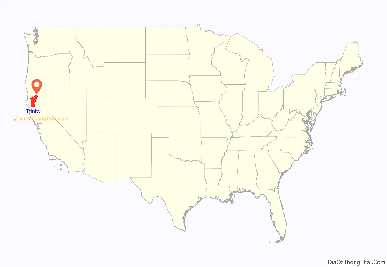
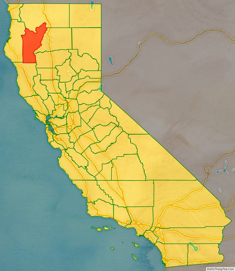
Trinity County location map. Where is Trinity County?
History
Trinity County has a rich history of Native Americans: Tsnungwe including the South Fork Hupa and tł’oh-mitah-xwe, Chimariko, and Wintu.
The county takes its name from the Trinity River, which was in turn named in 1845 by Major Pierson B. Reading, who was under the mistaken impression that the river emptied into Trinidad Bay. Trinity is the English translation of Trinidad.
Trinity County was one of the original counties of California, created in 1850 at the time of statehood. Parts of the county were ceded to Klamath County in 1852 and to Humboldt County in 1853.
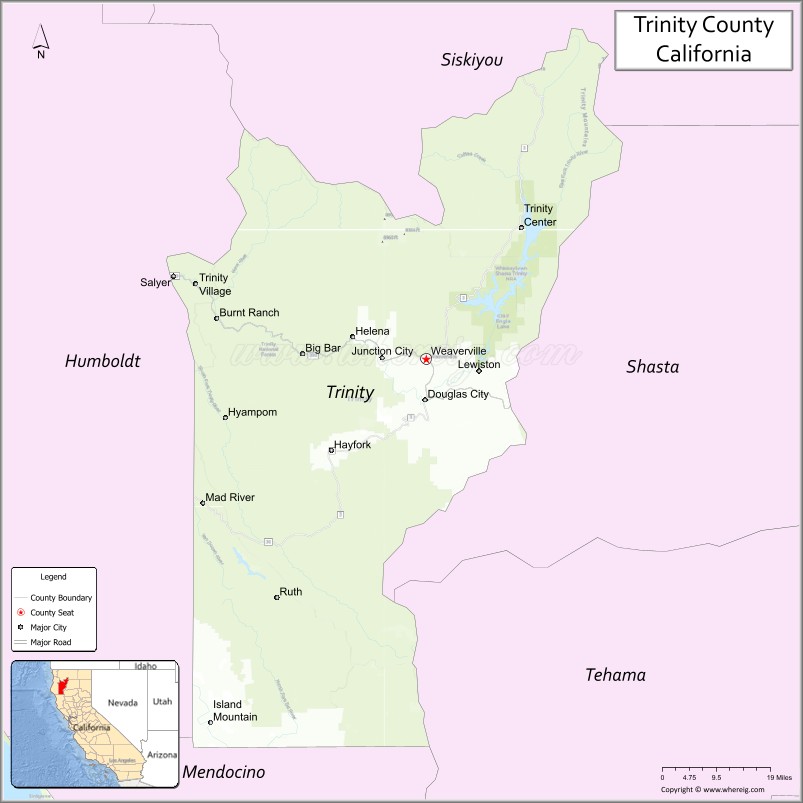
Trinity County Road Map

Geography
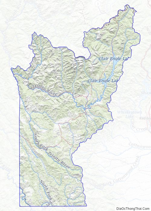
According to the U.S. Census Bureau, the county has a total area of 3,208 square miles (8,310 km), of which 3,179 square miles (8,230 km) is land and 28 square miles (73 km) (0.9%) is water. The county contains a significant portion of Shasta-Trinity National Forest and the Trinity Alps Wilderness—the second largest wilderness in California.
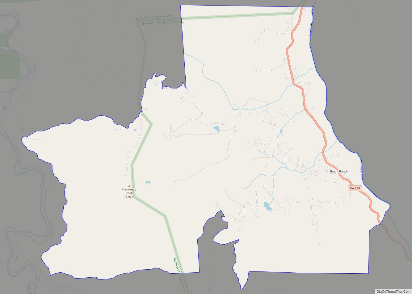
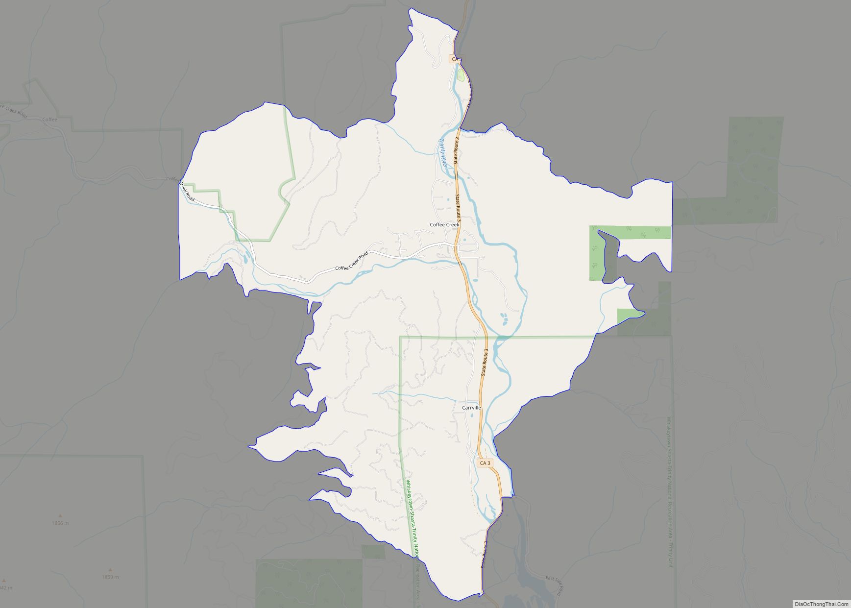
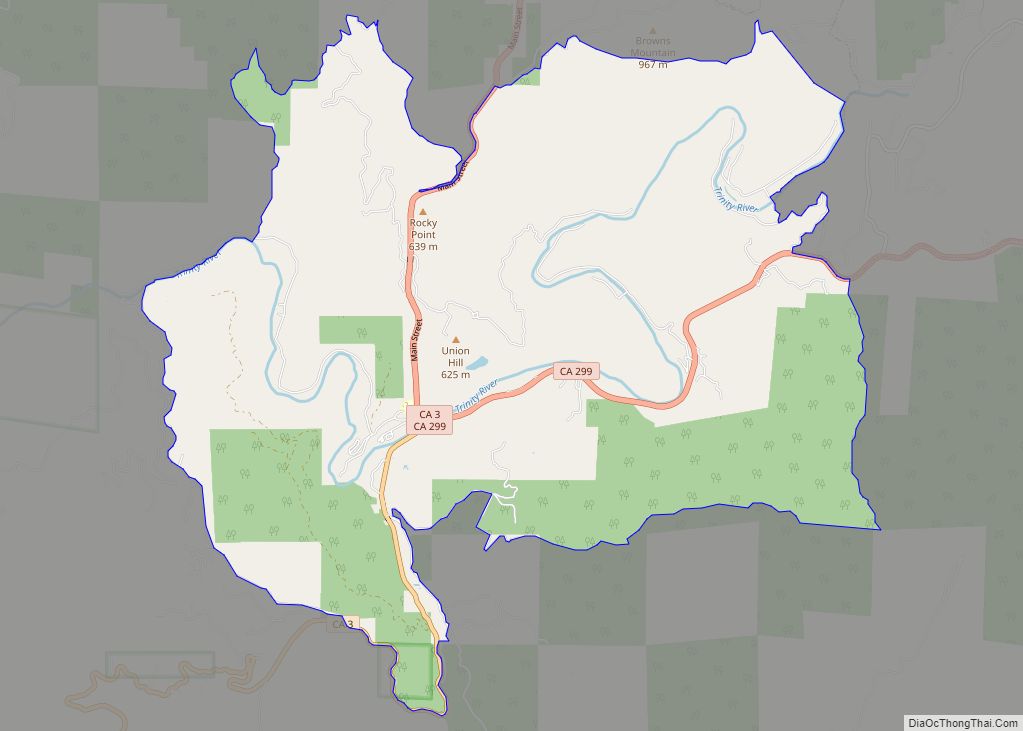
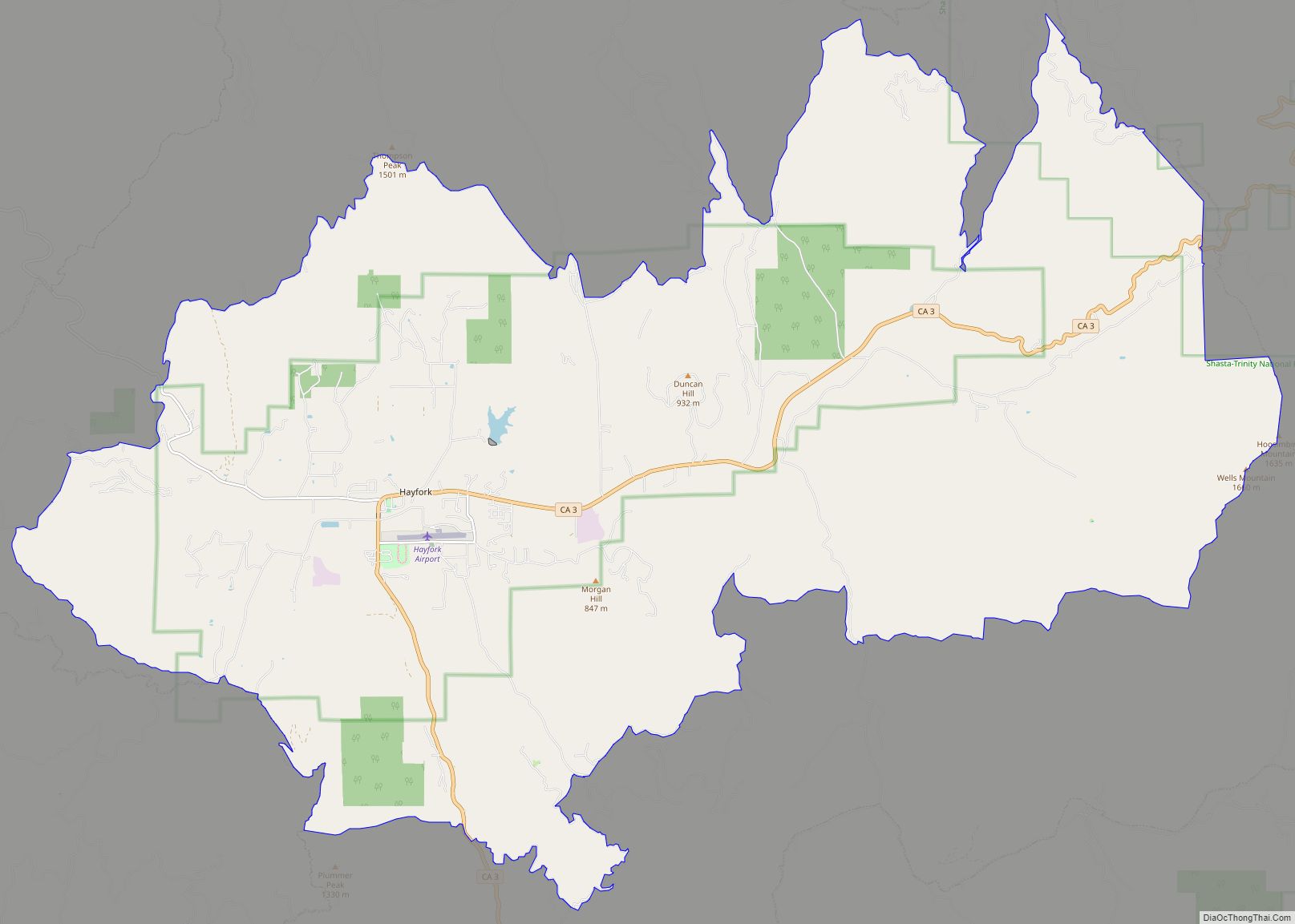
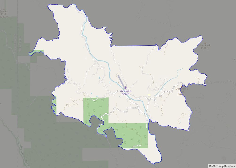
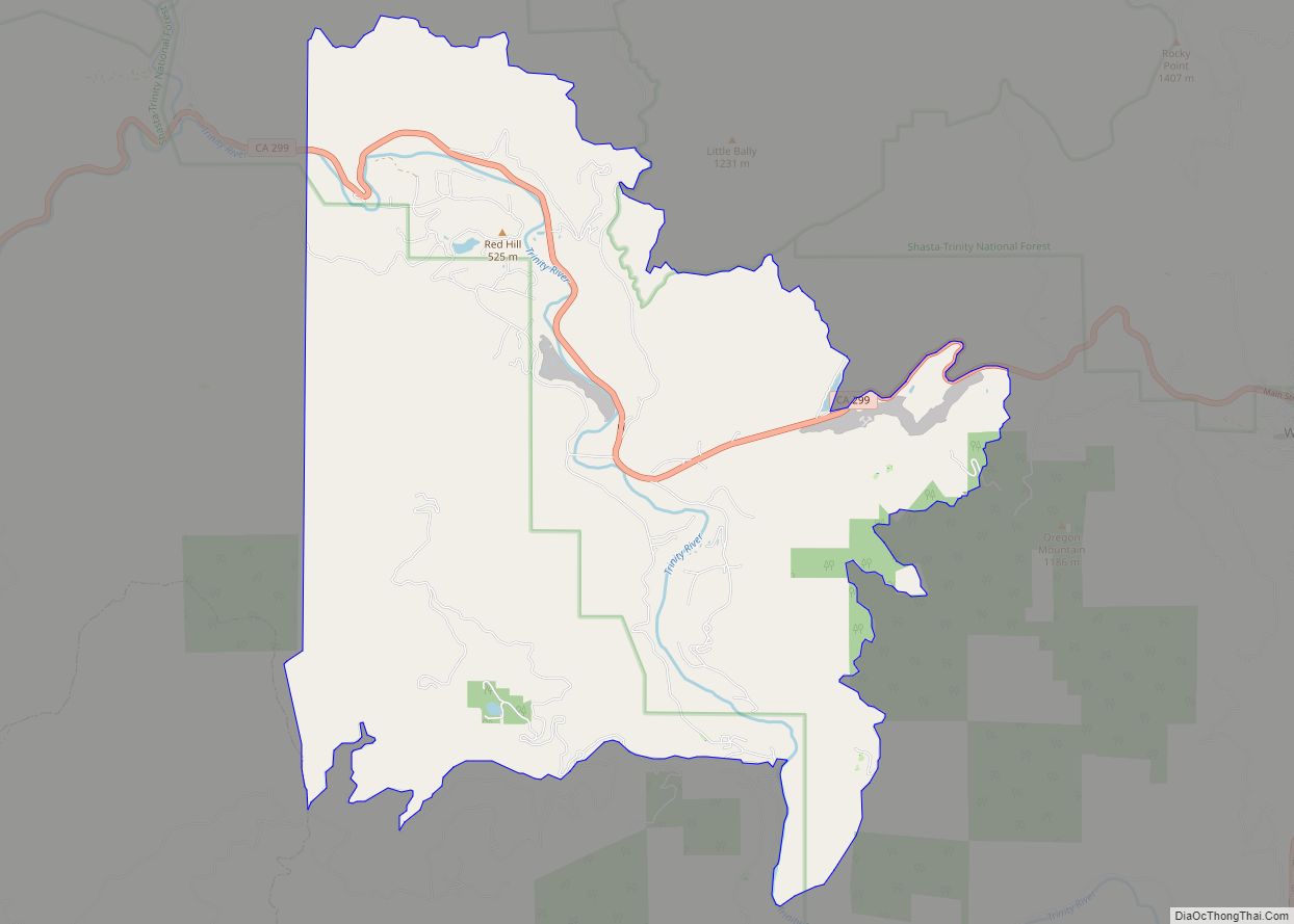
Trinity County is made up of five census tracts. Census Tract 1.01 includes the communities of Douglas City, Lewiston, Trinity Center, and part of Coffee Creek and Weaverville. Notable features are Trinity Dam and Lake, Lewiston Dam and Lake, the Trinity River, and the Lewiston Valley. It has a population of 2585 people in 550 square miles, leading to a population density of 4.7 people per square mile. Census Tract 1.02 includes most of Weaverville and Coffee Creek. It is the most populous census tract in the county, with 4558 people. It has 449 square miles, leading to a population density of 10.2 people per square mile. Notable features are the Weaver Basin, the Trinity Alps, Scott Mountain, and the upper Trinity River. Census Tract 2 includes the Downriver area of Trinity County. This means the communities of Junction City, Big Flat, Big Bar, Burnt Ranch, Hawkins Bar, and Salyer. It includes 2024 people, and notable features are the Trinity River, the Trinity Alps, and the New River. Census Tract 3 includes the communities of Hayfork, Hyampom, and Wildwood. It has 3105 people in 600 square miles, leading to a population density of 5.2 people per square mile. Notable features are the South Fork of the Trinity River, South Fork Mountain, Hayfork Valley, Hyampom Valley, Chanchellula Peak, and Hayfork Bally. Census Tract 4 is the largest by area but the least populous census tract in the county with 975 people. It contains 833 square miles, leading to a population density of 1.2 people per square mile. The largest community by far is Mad River, with other smaller ones being Ruth, Kettenpom, and Zenia. Notable features include South Fork Mountain, the Mad River, the Van Duzen River, Ruth Lake, Ruth Valley, Kettenpom Valley, and Hoaglin Valley.
The county hosts many visitors, especially during summer months, for camping, backpacking, boating on the lakes, rafting/kayaking on the rivers, hunting, and fishing. The summers tend to be clear, sunny, warm, and very dry, with little rain from June to September except for some mountain thunderstorms in the highest elevations. Summer days in the populated areas of the county range from 90 to 97 degrees, and summer nights range from 45 to 55. Winter days range from 40 to 50, and nights range from 25 to 35. The winters tend to have copious precipitation, increasing with elevation and falling mostly as rain under 1000m/3300 ft in the valley bottoms, and mostly as snow over 1000m/3300 ft on the mountainsides. December, January, and February are the wettest. The precipitation ranges from 30 to 35 inches at low elevations isolated from coastal influence, such as Big Bar, Hayfork, and Weaverville, up to 55 or 60 inches at high elevations, on the coastal side of South Fork Mountain, or where gaps in the mountain allow for precipitation to get through. Examples of this last phenomenon include Salyer and Forest Glen. Kalmia Lake, at nearly 7500 feet in the Canyon Creek area of the Trinity Alps, is reputed to be the snowiest place in California, outpacing Lake Helen in Mount Lassen National Park, which receives 600-700 inches of snow each winter. Average snowfall in the populated parts of the county ranges from 0-5 inches in the lower Trinity Valley to at least 100 inches in places above 4000 feet, such as Indian Valley west of Hayfork.
There is an extensive wild river and stream system, and the terrain is quite rugged and forested, with the highest point at Mount Eddy, over 9,000 ft (2,700 m). The Klamath Mountains occupy the vast portion of the county.
Adjacent counties
- Siskiyou County – north
- Shasta County – east
- Tehama County – southeast
- Mendocino County – south
- Humboldt County – west
National protected areas
- Shasta-Trinity National Forest (part)
- Six Rivers National Forest (part)
- Mendocino National Forest (part)
- Shasta-Trinity National Recreation Area (part)
- Trinity Alps Wilderness (part)
- Yolla Bolly-Middle Eel Wilderness (part)
Trinity County Topographic Map
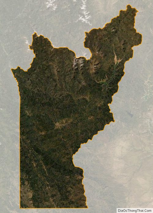
Trinity County Satellite Map
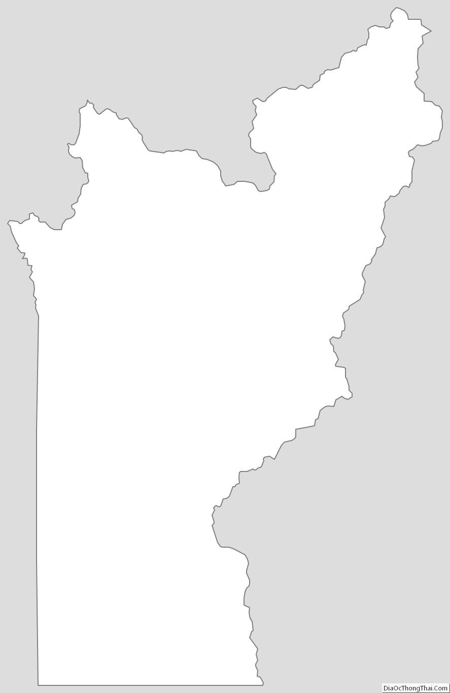
Trinity County Outline Map