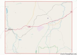
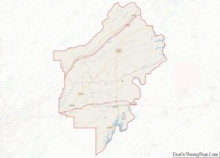
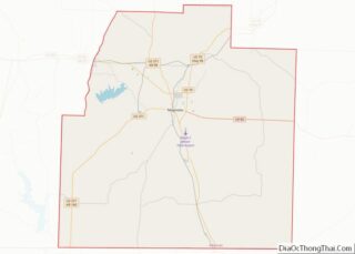
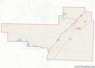
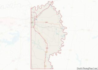
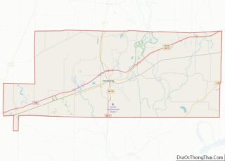
Map of Monroe County, Arkansas
Monroe County is located in the Arkansas Delta in the U.S. state of Arkansas. The county is named for James Monroe, the fifth President of the United States. Created as Arkansas’s 20th county on November 2, 1829, Monroe County is home to two incorporated towns and three incorporated cities, including Clarendon, the county seat, and ... Read more
Map of Monroe County, Arkansas
Map of Scott County, Arkansas
Scott County is a county located in the U.S. state of Arkansas. As of the 2020 census, the population was 9,836. The county seat is Waldron. Scott County is Arkansas’ 28th county, formed on November 5, 1833, and named for Andrew Scott, a justice of the Supreme Court of the Arkansas Territory. It is an ... Read more
Map of Scott County, Arkansas
Map of Calaveras County, California
Calaveras County (/ˌkæləˈvɛrəs/ (listen)), officially the County of Calaveras, is a county in both the Gold Country and High Sierra regions of the U.S. state of California. As of the 2010 census, the population was 45,292. The county seat is San Andreas. Angels Camp is the county’s only incorporated city. Calaveras is Spanish for “skulls”; ... Read more
Map of Calaveras County, California
Map of Marin County, California
Marin County /məˈrɪn/ (listen) (Spanish: Condado de Marín) is a county located in the northwestern part of the San Francisco Bay Area of the U.S. state of California. As of the 2020 census, the population was 262,231. Its county seat and largest city is San Rafael. Marin County is across the Golden Gate Bridge from ... Read more
Map of Marin County, California
Map of San Diego County, California
San Diego County (/ˌsæn diˈeɪɡoʊ/ (listen)), officially the County of San Diego (Spanish: Condado de San Diego), is a county in the southwestern corner of the U.S. state of California. As of the 2020 census, the population was 3,298,634, making it California’s second-most populous county and the fifth-most populous in the United States. Its county ... Read more
Map of San Diego County, California
Map of Trinity County, California
Trinity County is a county located in the northwestern portion of the U.S. state of California. Trinity County is rugged, mountainous, heavily forested, and lies along the Trinity River (for which it is named) within the Salmon and Klamath Mountains. It is also one of three counties in California with no incorporated cities (the other ... Read more
Map of Trinity County, California
Map of Clear Creek County, Colorado
Clear Creek County is a county located in the U.S. state of Colorado. As of the 2020 census, the population was 9,397. The county seat is Georgetown. Clear Creek County is part of the Denver metropolitan area. Clear Creek County overview: Name: Clear Creek County FIPS code: 08-019 State: Colorado Founded: November 1, 1861 Named ... Read more
Map of Clear Creek County, Colorado
Map of Gunnison County, Colorado
Gunnison County overview: Name: Gunnison County FIPS code: 08-051 State: Colorado Founded: March 9, 1877 Named for: John W. Gunnison Seat: Gunnison Largest city: Gunnison Total Area: 3,260 sq mi (8,400 km²) Land Area: 3,239 sq mi (8,390 km²) Total Population: 17,281 Population Density: 5.2/sq mi (2.0/km²) Time zone: UTC−7 (Mountain) Summer Time Zone (DST): UTC−6 (MDT) Website: www.gunnisoncounty.org Gunnison County location ... Read more
Map of Gunnison County, Colorado
Map of Montezuma County, Colorado
Montezuma County overview: Name: Montezuma County FIPS code: 08-083 State: Colorado Founded: April 16, 1889 Named for: Moctezuma II Seat: Cortez Largest city: Cortez Total Area: 2,040 sq mi (5,300 km²) Land Area: 2,030 sq mi (5,300 km²) Total Population: 26,175 Population Density: 13/sq mi (5/km²) Time zone: UTC−7 (Mountain) Summer Time Zone (DST): UTC−6 (MDT) Website: montezumacounty.org Montezuma County location map. ... Read more
Map of Montezuma County, Colorado
Map of Sedgwick County, Colorado
Sedgwick County is a county located in the U.S. state of Colorado. As of the 2020 census, the population was 2,404. The county seat is Julesburg. The county was named for Fort Sedgwick, a military post along the Platte Trail, which was named for General John Sedgwick. It is located near the state border with ... Read more
Map of Sedgwick County, Colorado
Map of Sussex County, Delaware
Sussex County is located in the southern part of the U.S. state of Delaware, on the Delmarva Peninsula. As of the 2020 census, the population was 237,378. The county seat is Georgetown. The first European settlement in the state of Delaware was founded by the Dutch in 1631 near the present-day town of Lewes on ... Read more
Map of Sussex County, Delaware
Map of Duval County, Florida
Duval County is in the northeastern part of the U.S. state of Florida. As of the 2020 census, the population was 995,567, up from 864,263 in 2010. Its county seat is Jacksonville, with which the Duval County government has been consolidated since 1968. Duval County was established in 1822, and is named for William Pope ... Read more
Map of Duval County, Florida