Yell County is a county in the U.S. state of Arkansas. As of the 2020 census, the population was 20,263. The county has two county seats, Dardanelle and Danville. Yell County is Arkansas’s 42nd county, formed on December 5, 1840, from portions of Scott and Pope counties. It was named after Archibald Yell, who was the state’s first member of the United States House of Representatives and the second governor of Arkansas. He died in combat at the Battle of Buena Vista during the Mexican–American War.
This is an alcohol prohibition or dry county. Yell County is part of the Russellville, AR Micropolitan Statistical Area.
| Name: | Yell County |
|---|---|
| FIPS code: | 05-149 |
| State: | Arkansas |
| Founded: | December 5, 1840 |
| Named for: | Archibald Yell |
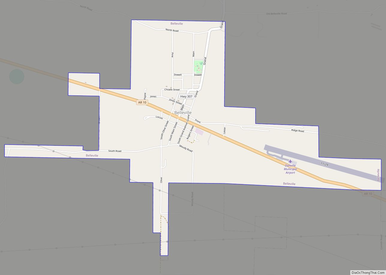
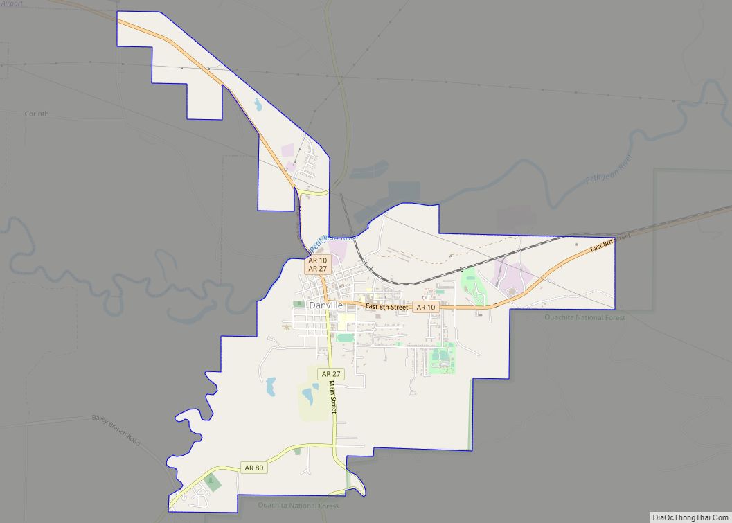
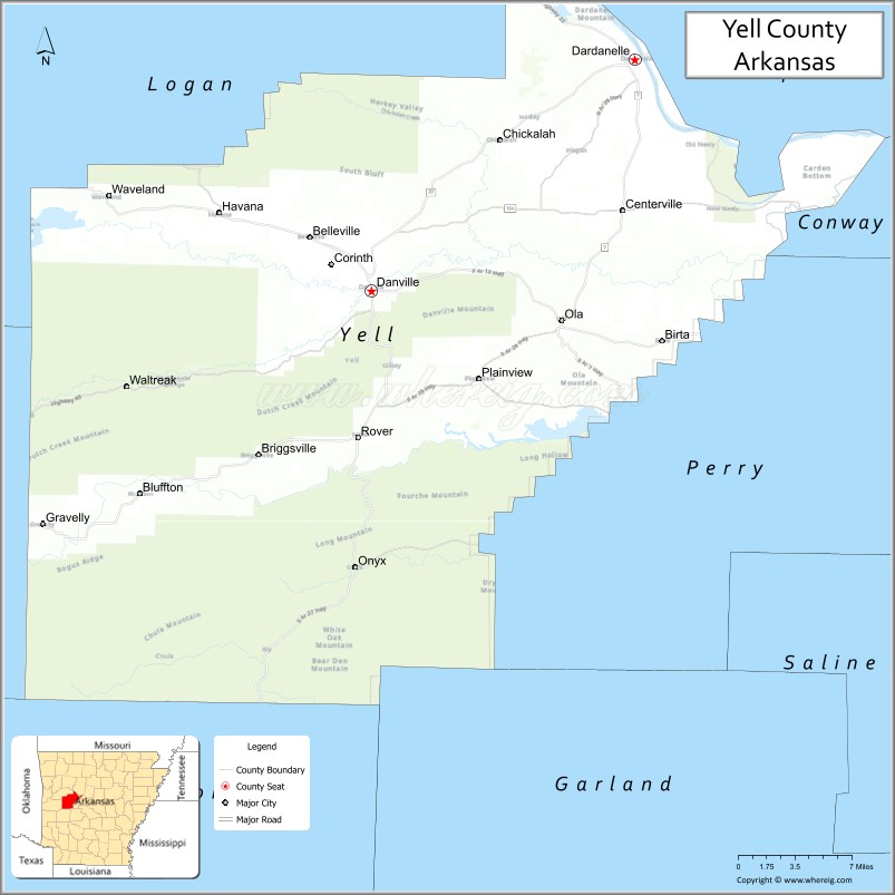
| Seat: | Danville (western district); Dardanelle (eastern district) |
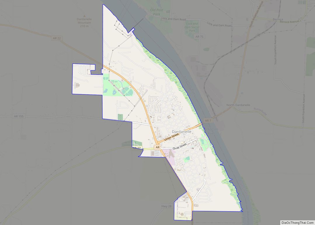
| Largest city: | Dardanelle |
| Total Area: | 949 sq mi (2,460 km²) |
| Land Area: | 930 sq mi (2,400 km²) |
| Total Population: | 20,263 |
| Population Density: | 21/sq mi (8.2/km²) |
| Time zone: | UTC−6 (Central) |
| Summer Time Zone (DST): | UTC−5 (CDT) |
| Website: | yellcounty.net |
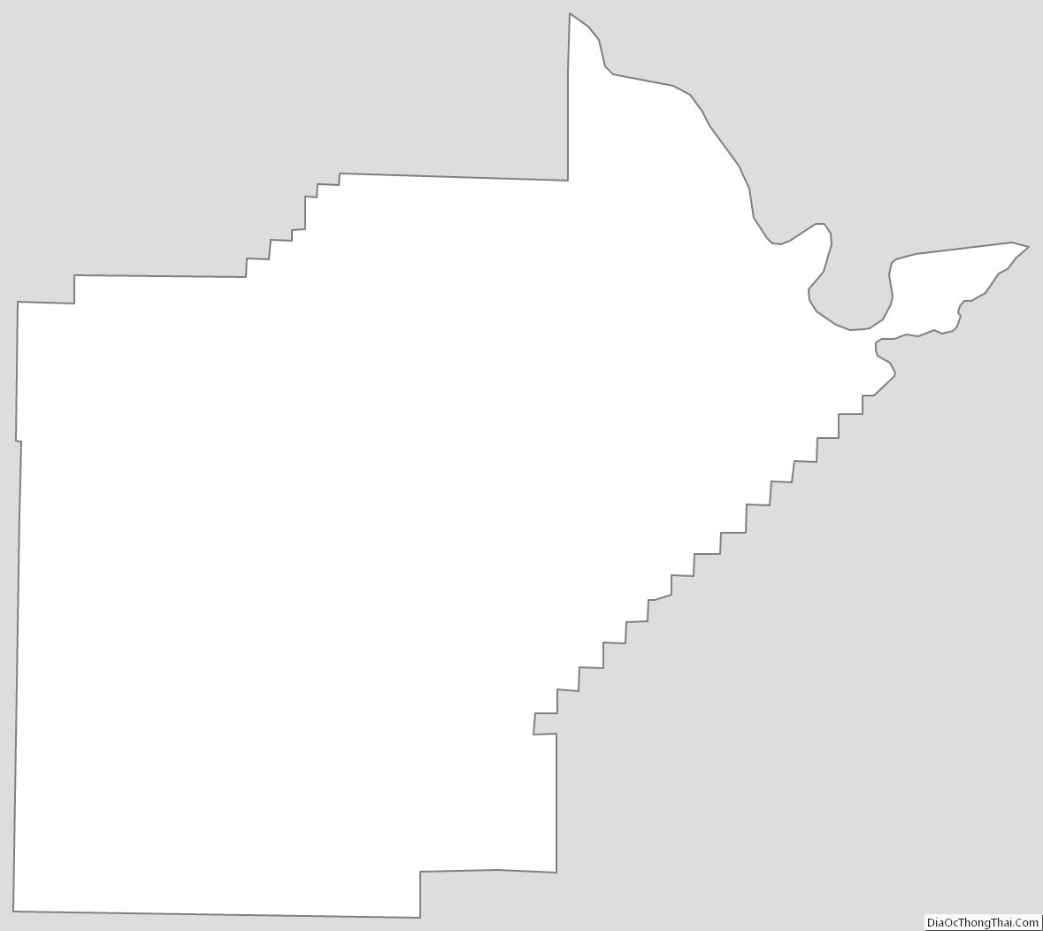
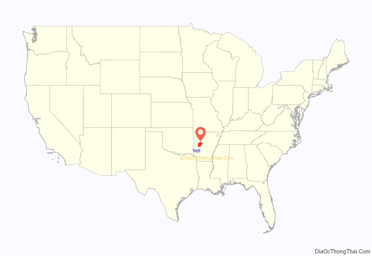
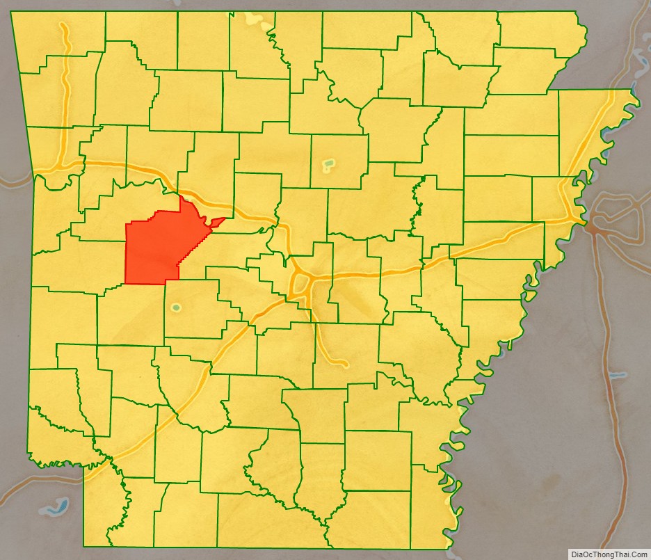
Yell County location map. Where is Yell County?
History
Native Americans first inhabited present-day Yell County and the Arkansas River Valley for thousands of years prior to European colonization. They used the open, fertile floodplain of the Arkansas River for hunting grounds and later farming settlements. During the Thomas Jefferson and Indian Removal era, many Cherokee were voluntarily relocating from Georgia along the Arkansas River, including in Yell County, between 1775 and 1786. A large Cherokee reservation across the Arkansas River from Yell County was established in 1815 to encourage further voluntary relocation from Georgia.
The area presently encompassed as Yell County was first settled by European settlers when James Carden built a house in 1819 among Cherokee farms in the Dardanelle Bottoms, at the confluence of the Arkansas and Petit Jean rivers. Lands south of the Arkansas River had been deeded to the Choctaw in the 1820s when they removed from their homelands east of the Mississippi River, but white settlement and Cherokee relocation continued apace into the 1820s. The peoples competed over the prime river-bottom lands.
In June 1823, a meeting between numerous Cherokee chiefs and acting Territorial Governor Robert Crittenden was held under two large oak trees. Long believed by many to result in a “Council Oaks Treaty” reestablishing Cherokee title of 3.2 million acres (1.3 million hectares) north of the Arkansas River, Crittenden had no treaty-making authority and the meeting ended with no agreement other than each party sending separate letters to Secretary of War John C. Calhoun.
Some Cherokee remained on their farms south of the river, the group identifying itself as Black Dutch, intermarrying and assimilating with the area’s white settlers.
In 1830, the United States Congress enacted the Indian Removal Act, leading to further, forcible Cherokee settlement from the Southeast into the Arkansas River Valley. Cherokee, Muskogee (Creek), and Seminole were forcibly removed along the Trail of Tears through Yell County to Indian Territory (present-day Oklahoma).
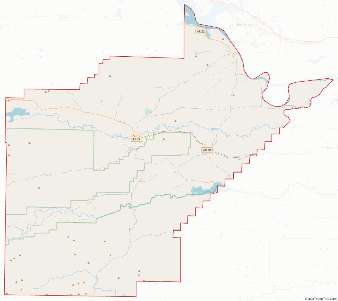
Yell County Road Map
Geography
According to the U.S. Census Bureau, the county has a total area of 949 square miles (2,460 km), of which 930 square miles (2,400 km) is land and 19 square miles (49 km) (2.0%) is water.
Adjacent counties
- Pope County (north)
- Conway County (northeast)
- Perry County (east)
- Garland County (southeast)
- Montgomery County (south)
- Scott County (west)
- Logan County (northwest)
National protected areas
- Holla Bend National Wildlife Refuge (part)
- Ouachita National Forest (part)
- Ozark National Forest (part)
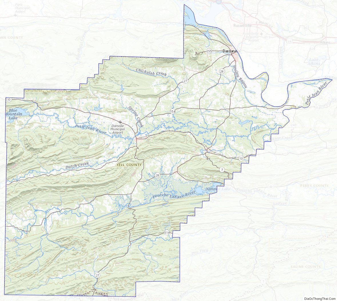
Yell County Topographic Map
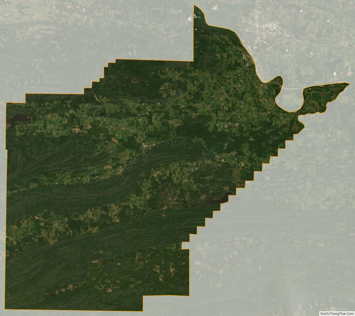
Yell County Satellite Map
Yell County Outline Map