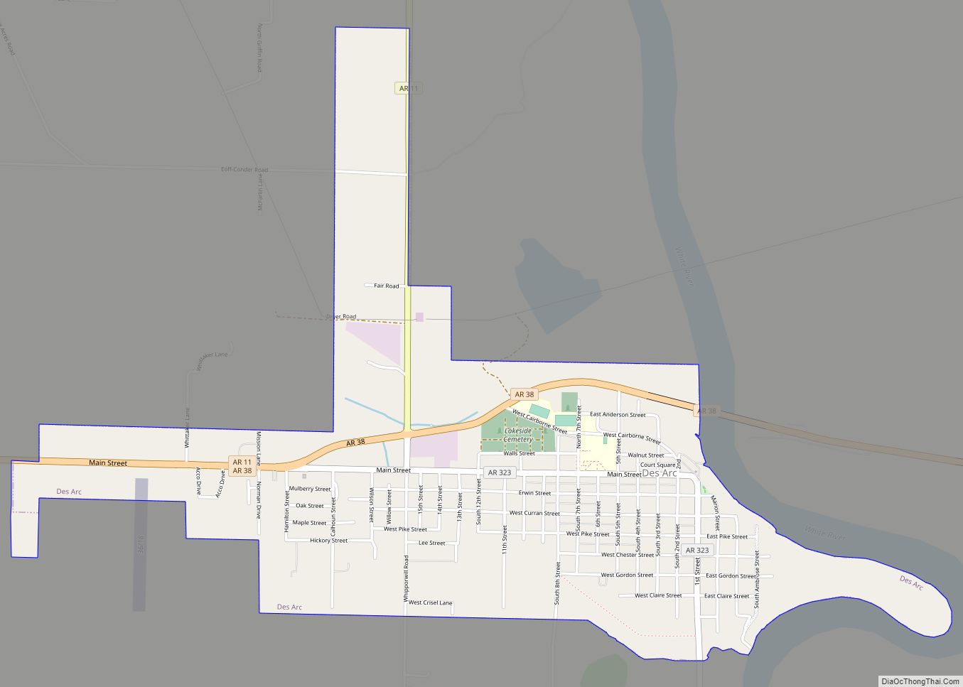
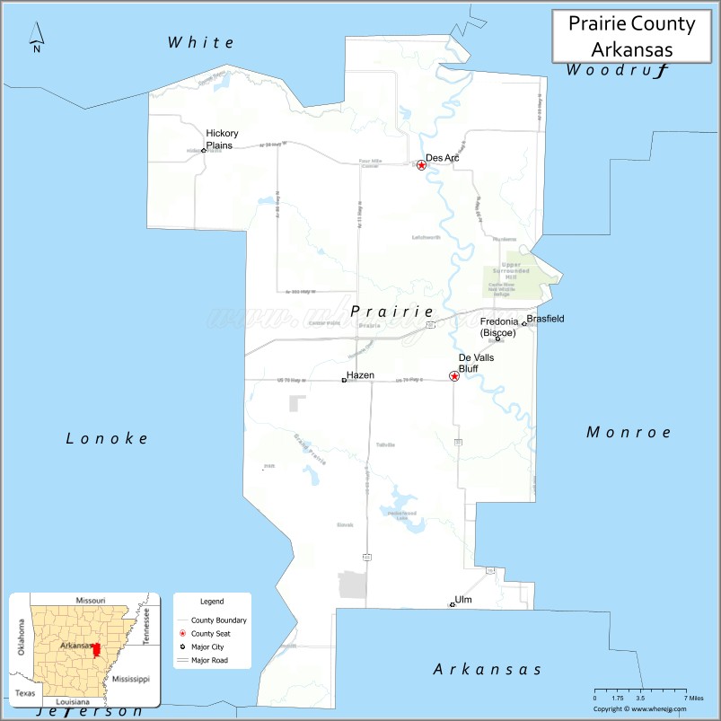
Prairie County is in the Central Arkansas region of the U.S. state of Arkansas. The county is named for the Grand Prairie, a subregion of the Arkansas Delta known for rice cultivation and aquaculture that runs through the county. Created as Arkansas’s 54th county in 1846, Prairie County is home to four incorporated towns, including DeValls Bluff, the southern district county seat, and two incorporated cities, including Des Arc, the northern district county seat. The county is also the site of numerous unincorporated communities and ghost towns. Occupying 676 square miles (175,000 ha), Prairie County is the median-sized county in Arkansas. As of the 2020 Census, the county’s population was 8,282. Based on population, the county is the ninth-smallest county of the 75 in Arkansas.
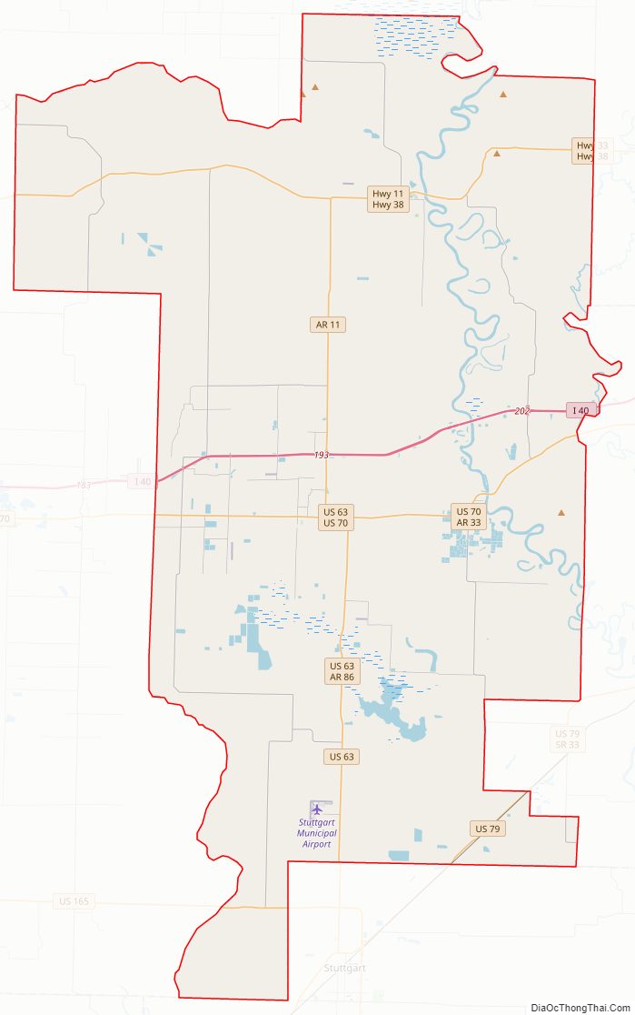
The county is crossed by Interstate 40 (I-40), a major east–west Interstate highway running from California to North Carolina, as well as four United States highways (U.S. Route 63 [US 63], US 70, US 79, and US 165). Eleven Arkansas state highways run in the county. Prairie County is served by two public owned/public use general aviation airports and six potable water systems.
| Name: | Prairie County |
|---|---|
| FIPS code: | 05-117 |
| State: | Arkansas |
| Founded: | November 25, 1846 |
| Named for: | Grand Prairie |
| Seat: | Des Arc, DeValls Bluff |
| Largest city: | Des Arc |
| Total Area: | 676 sq mi (1,750 km²) |
| Land Area: | 648 sq mi (1,680 km²) |
| Total Population: | 8,282 |
| Population Density: | 12/sq mi (4.7/km²) |
| Time zone: | UTC−6 (Central) |
| Summer Time Zone (DST): | UTC−5 (CDT) |
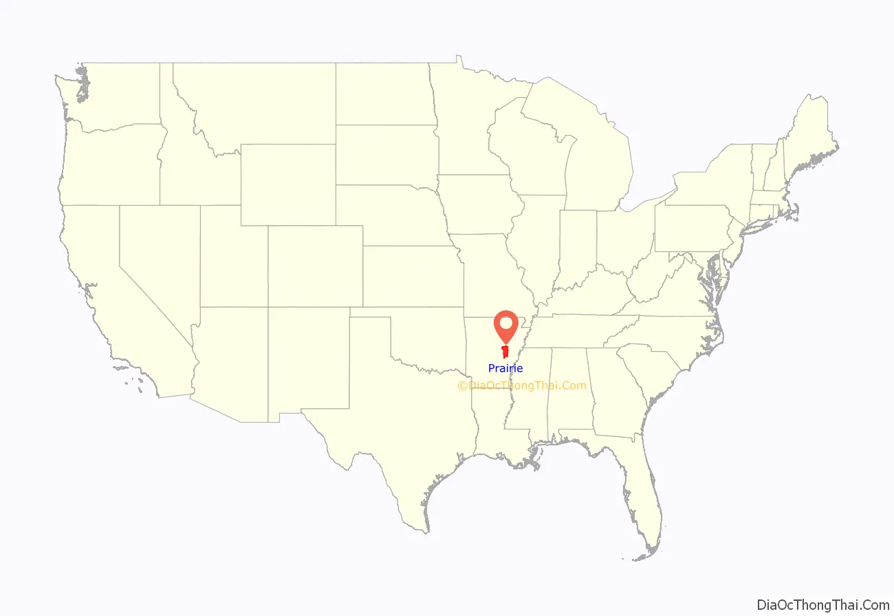
Prairie County location map. Where is Prairie County?
History
The county at first was land given to Cherokee Indians resettled from Tennessee and was the Western band of Cherokee reservation from 1812 to 1836. Even today, an estimated 2,000 residents have some American Indian ancestry.
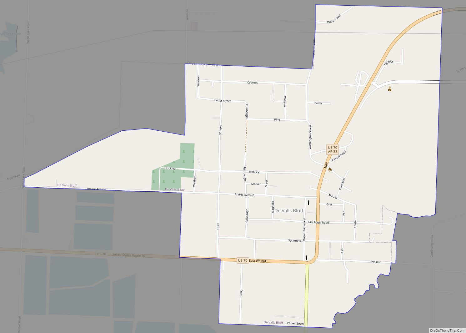
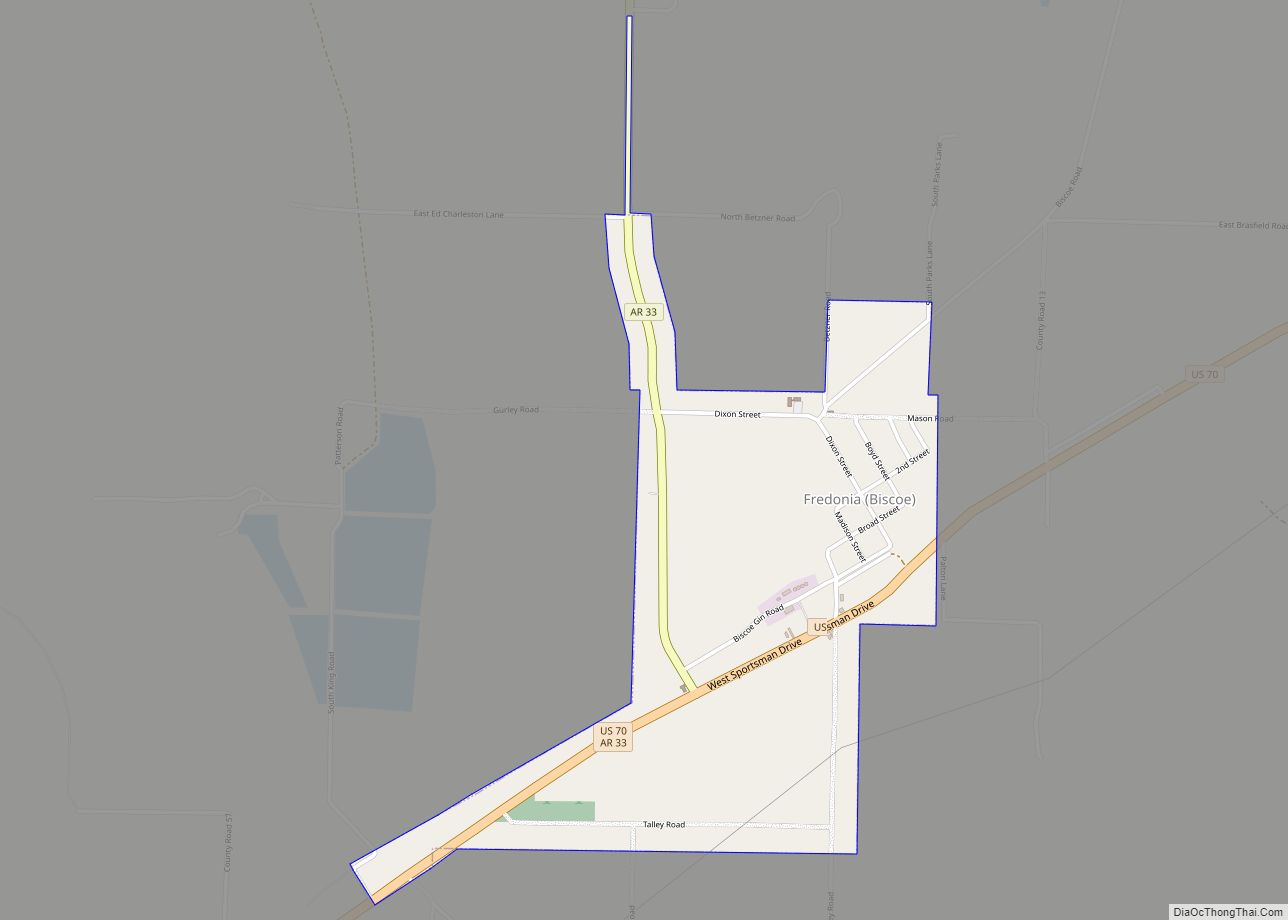
The town of Fredonia (Biscoe) was named for the unsuccessful 1826 attempt of Arkansas Cherokee and to create the Republic of Fredonia by Arkansas Cherokee and Texan settlers in then Mexican Texas. The town of DeValls Bluff was the Western Cherokee’s seat, and is now one of Prairie County’s seats.
Prairie County suffered greatly during the Civil War. Des Arc was partly destroyed, and a local historian estimated that not more than 15 horses were left in the county by the war’s end. The rest had been taken by soldiers of one army or the other.
On September 5, 1913, Lee Simms became the first person to be executed in Arkansas by the electric chair. He was executed for the crime of violent rape.
Stern’s Medlar, a previously unknown plant species, was discovered in Prairie County as recently as 1990. It is not known to grow anywhere else in the world. The plant is critically endangered, with only 25 known specimens, all growing within a single small wood, now protected as the Konecny Grove Natural Area.
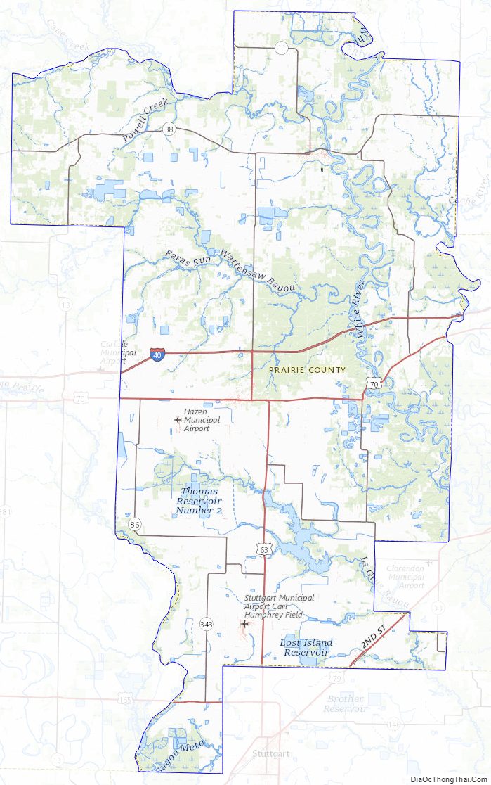
Prairie County Road Map
Geography
The county is located between two primary geographic regions of Arkansas: Central Arkansas and the Arkansas Delta (in Arkansas, usually referred to as “the Delta”). The Arkansas Delta is a subregion of the Mississippi Alluvial Plain, which is a flat area consisting of rich, fertile sediment deposits from the Mississippi River between Louisiana and Illinois. The county is often described as being within the Grand Prairie, a subdivision of the Arkansas Delta known today for rice farming and aquaculture, rather than Central Arkansas or the Delta. It is this geographic feature from which the county derives its name. According to the U.S. Census Bureau, the county has a total area of 676 square miles (1,750 km), of which 648 square miles (1,680 km) is land and 28 square miles (73 km) (4.1%) is water.
Prior to settlement, Prairie County was large, flat grassland distinct from the swamps and bayous in the nearby Delta. Although cotton and other row crops grew well in the Prairie’s silty loam soil, rice production changed the cultivation patterns in the county at the turn of the nineteenth century. Although some prairie and riparian areas has been preserved in conservation areas, a large portion (44 percent) of the county remains in cultivation. Another large land use in Prairie County is the Cache River NWR and Wattensaw Wildlife Management Area (WMA), owned by the United States Fish and Wildlife Service and Arkansas Game and Fish Commission, respectively.
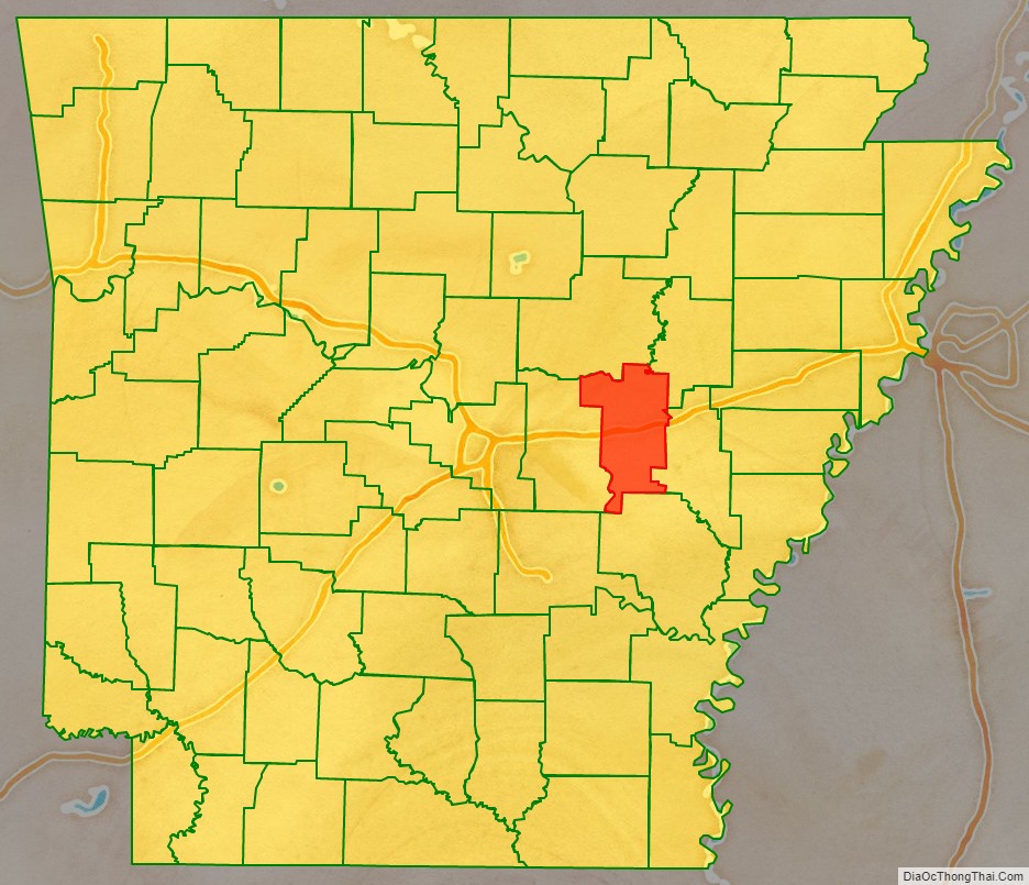
The county is located approximately 53 miles (85 km) east of Little Rock and 90 miles (140 km) west of Memphis, Tennessee. Prairie County is surrounded by five other counties: White County to the north, Woodruff County to the northeast, Monroe County to the east, Arkansas County to the south, and Lonoke County to the west.
Climate
Prairie County has a humid subtropical climate (Köppen Cfa). Prairie County experiences all four seasons, although summers can be extremely hot and humid and winters are mild with little snow. July is the hottest month of the year, with an average high of 92 °F (33.3 °C) and an average low of 73 °F (22.8 °C). Temperatures above 100 °F (38 °C) are not uncommon. January is the coldest month with an average high of 48 °F (8.9 °C) and an average low of 31 °F (−0.6 °C). The highest temperature was 109 °F (42.8 °C), and the lowest temperature recorded was −5 °F (−21 °C). Record snowfall in Des Arc occurred January 7, 1912, with 18 inches (46 cm).
Prairie County Topographic Map
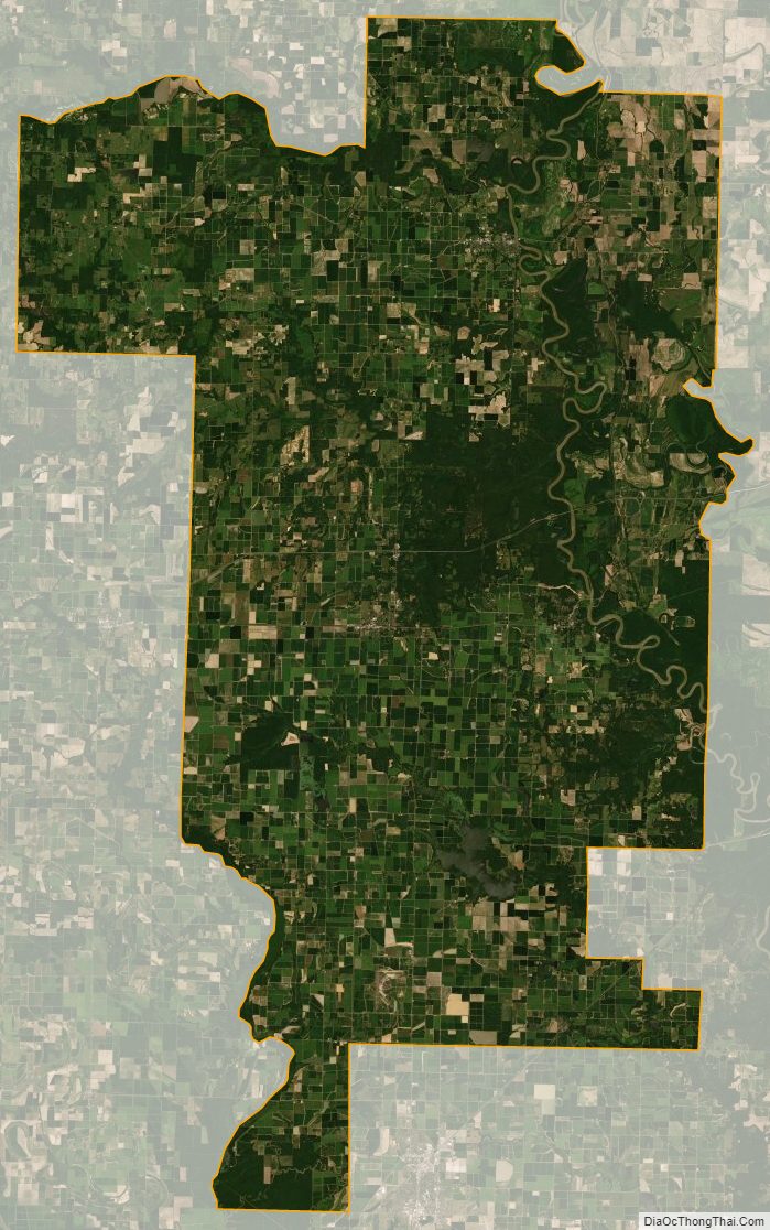
Prairie County Satellite Map
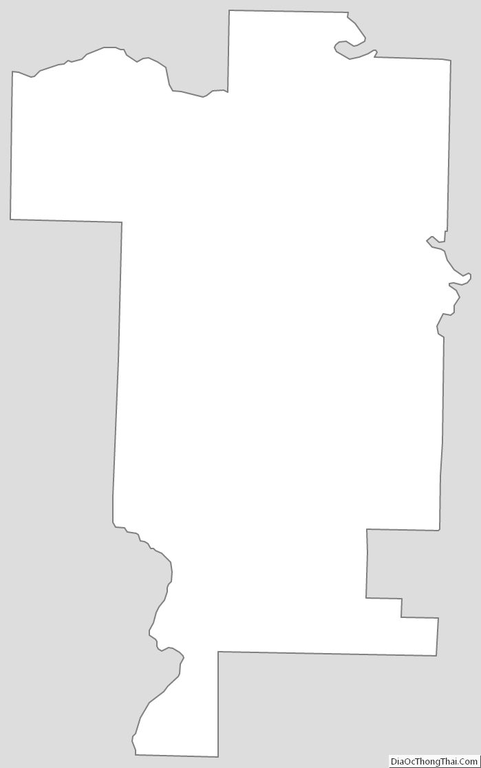
Prairie County Outline Map