Solano County (/səˈlɑːnoʊ/ (listen)) is a county located in the U.S. state of California. As of the 2020 census, its population was 453,491. The county seat is Fairfield.
Solano County comprises the Vallejo–Fairfield metropolitan statistical area, which is also included in the San Jose–San Francisco–Oakland, combined statistical area. Solano County is the northeastern county in the nine-county San Francisco Bay Area region.
A portion of the South Campus at the University of California, Davis, is in Solano County.
| Name: | Solano County |
|---|---|
| FIPS code: | 06-095 |
| State: | California |
| Founded: | 1850 |
| Named for: | Chief Solano of the Suisun people |
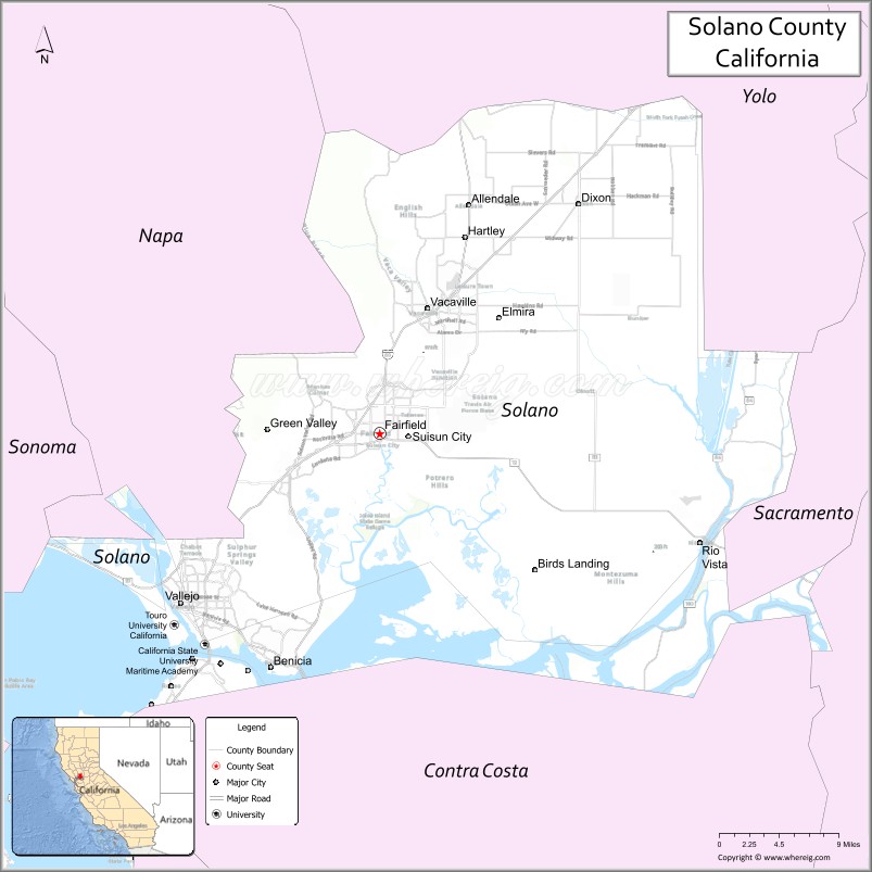
| Seat: | Fairfield |
| Largest city: | Vallejo (population) Fairfield (area) |
| Total Area: | 906 sq mi (2,350 km²) |
| Land Area: | 822 sq mi (2,130 km²) |
| Total Population: | 453,491 |
| Population Density: | 552/sq mi (213/km²) |
| Time zone: | UTC−8 (Pacific Time Zone) |
| Summer Time Zone (DST): | UTC−7 (Pacific Daylight Time) |
| Website: | www.solanocounty.com |
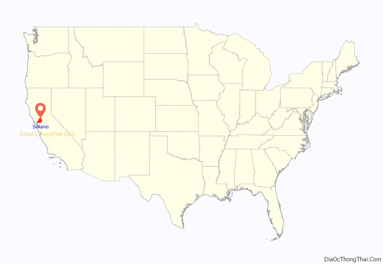
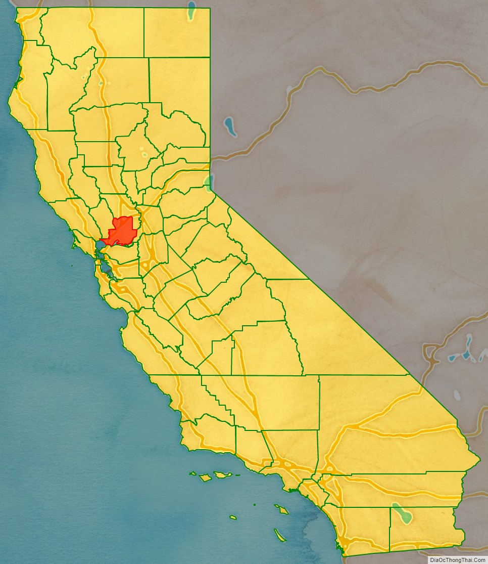
Solano County location map. Where is Solano County?
History
Solano County was one of the original counties of California, created in 1850 at the time of statehood.
At the request of General Mariano Guadalupe Vallejo, the county was named for Chief Solano of the Suisun people, a Native American tribe of the region and Vallejo’s close ally. Chief Solano at one time led the tribes between the Petaluma River and the Sacramento River. The chief was also called Sem-Yeto, which signifies “brave or fierce hand.” The chief was given the Spanish name Francisco Solano during baptism at the Catholic Mission, and is named after the Spanish Franciscan missionary, Father Francisco Solano. “Solano” is a common surname in the north of Spain, especially in Navarra, Zaragoza, and La Rioja.
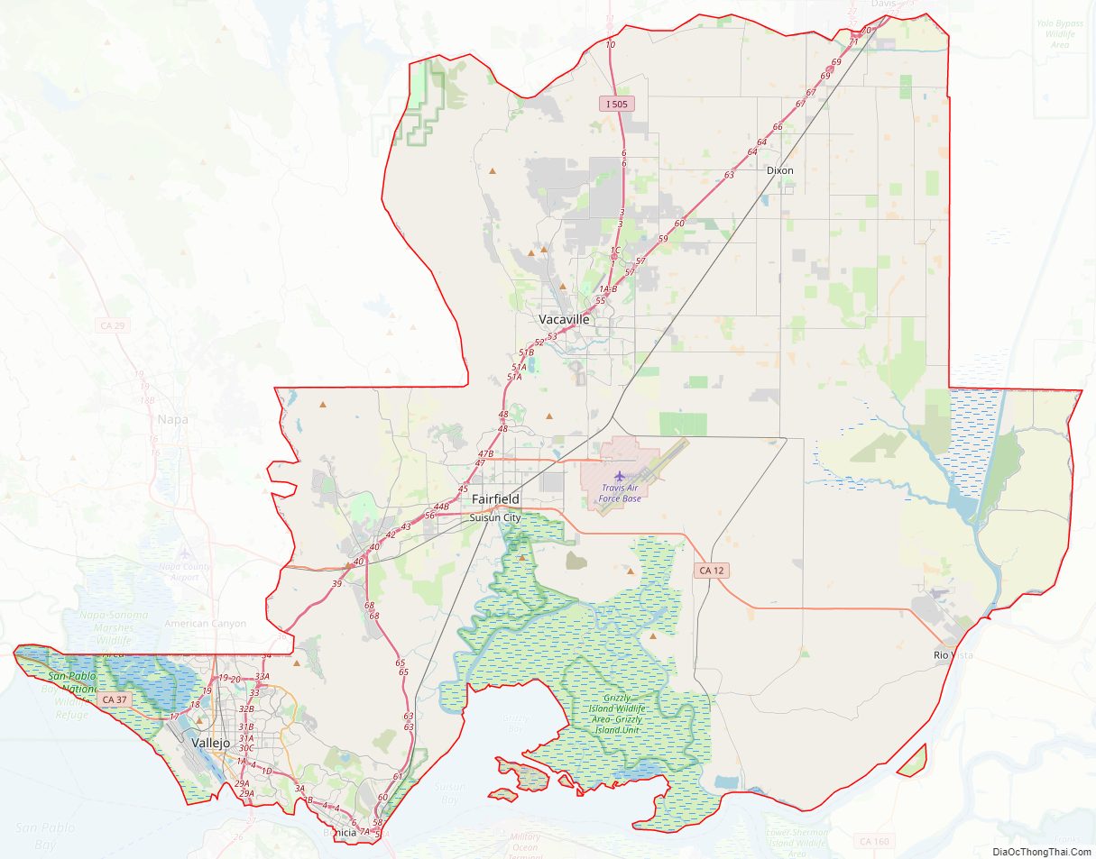
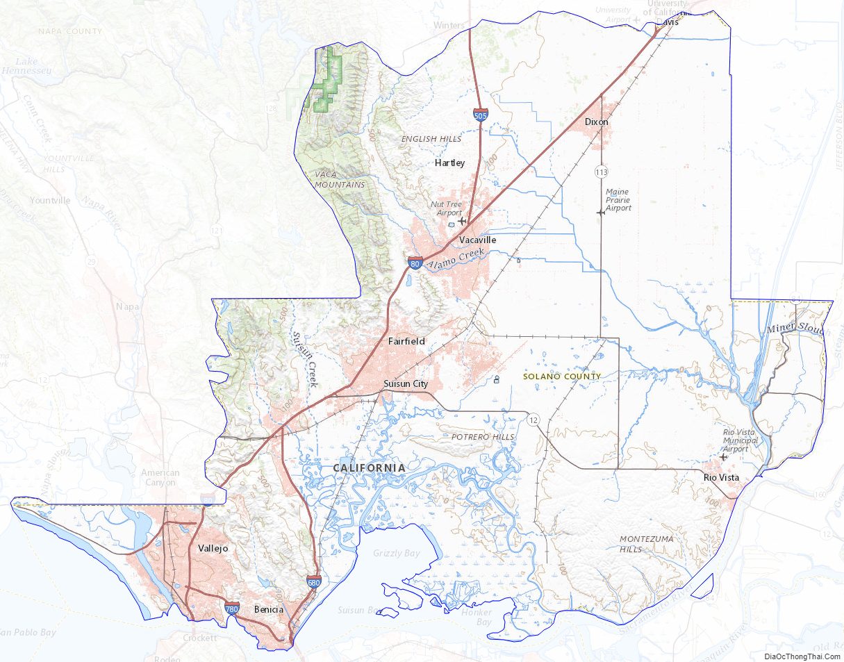
Travis Air Force Base is located just east of Fairfield.
Solano County Road Map
Geography
According to the U.S. Census Bureau, the county has a total area of 906 square miles (2,350 km), of which 84 square miles (220 km), comprising 9.3%, are covered by water.
Solano County has several inactive cinnabar mines, including the Hastings Mine and St. John’s Mine, both of which are subject to ongoing mercury monitoring. These mines were worked in the first half of the twentieth century.
Flora and fauna
Solano County has a number of rare and endangered species, including the beetle Elaphrus viridis, the wildflower Lasthenia conjugens, commonly known as Contra Costa goldfields, and the annual plant Legenere limosa or false Venus’ looking glass.
Adjacent counties
- Contra Costa County, California – south
- Sonoma County, California – west
- Napa County, California – west
- Yolo County, California – north
- Sacramento County, California – east
National protected area
- San Pablo Bay National Wildlife Refuge (part)
Solano County Topographic Map
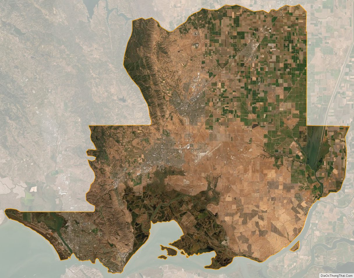
Solano County Satellite Map
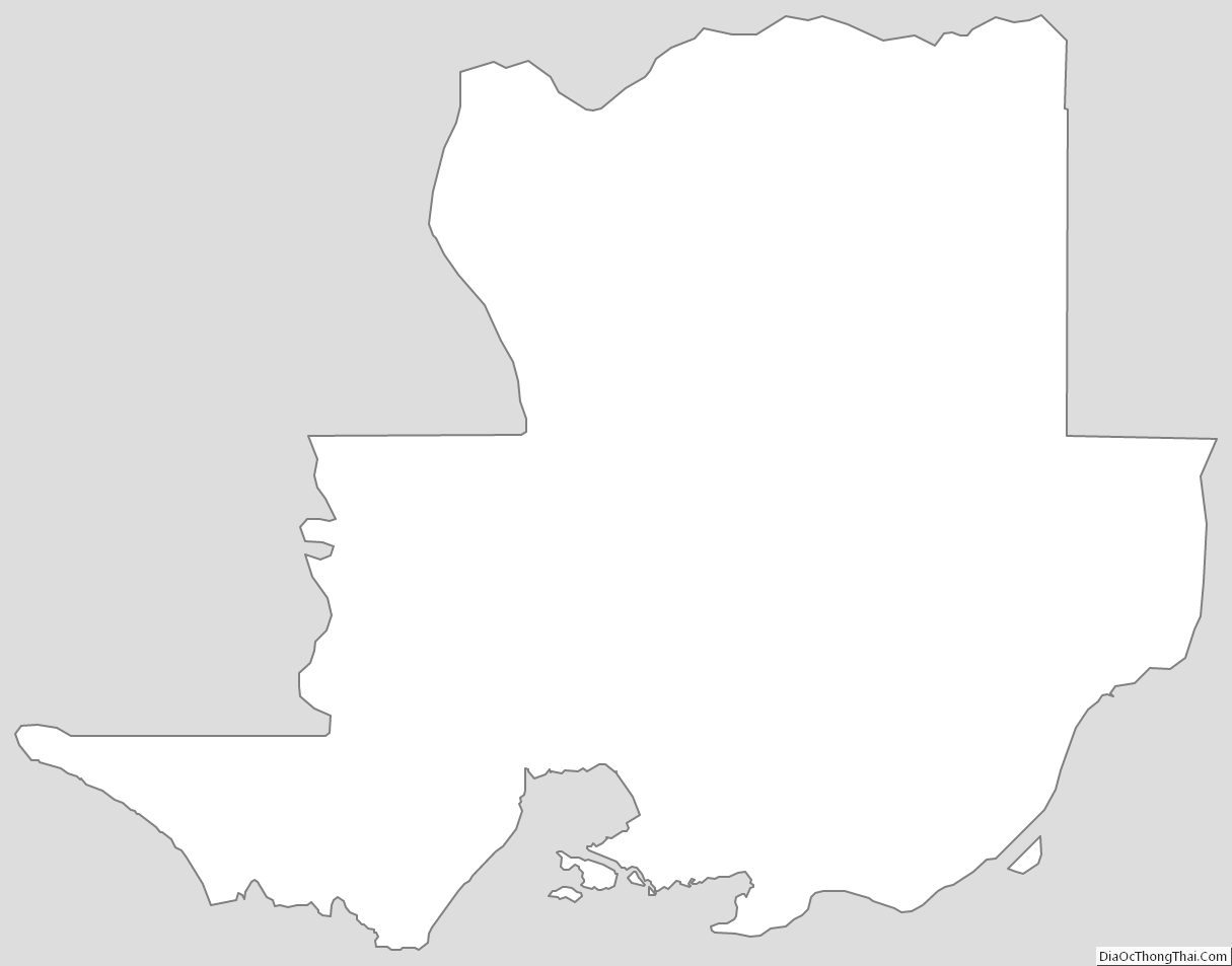
Solano County Outline Map