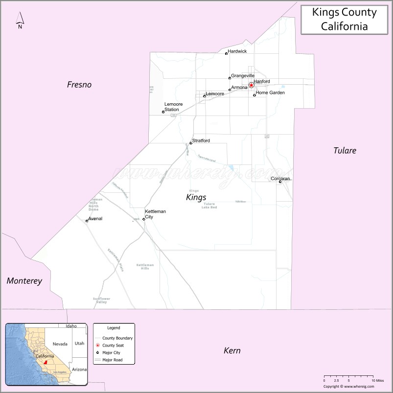
Kings County is a county located in the U.S. state of California. The population was 152,486 at the 2020 census. The California Department of Finance estimated the county’s population was 152,940 as of July 1, 2019. The county seat is Hanford.
Kings County comprises the Hanford-Lemoore, CA metropolitan statistical area, which is also included in the Visalia–Porterville-Hanford, CA combined statistical area. It is in the San Joaquin Valley, a rich agricultural region.
| Name: | Kings County |
|---|---|
| FIPS code: | 06-031 |
| State: | California |
| Founded: | 1893 |
| Named for: | Kings River |
| Seat: | Hanford |
| Largest city: | Hanford (population) Avenal (area) |
| Total Area: | 1,392 sq mi (3,610 km²) |
| Land Area: | 1,389 sq mi (3,600 km²) |
| Total Population: | 152,486 |
| Population Density: | 110/sq mi (42/km²) |
| Time zone: | UTC−8 (Pacific Time Zone) |
| Summer Time Zone (DST): | UTC−7 (Pacific Daylight Time) |
| Website: | countyofkings.com |
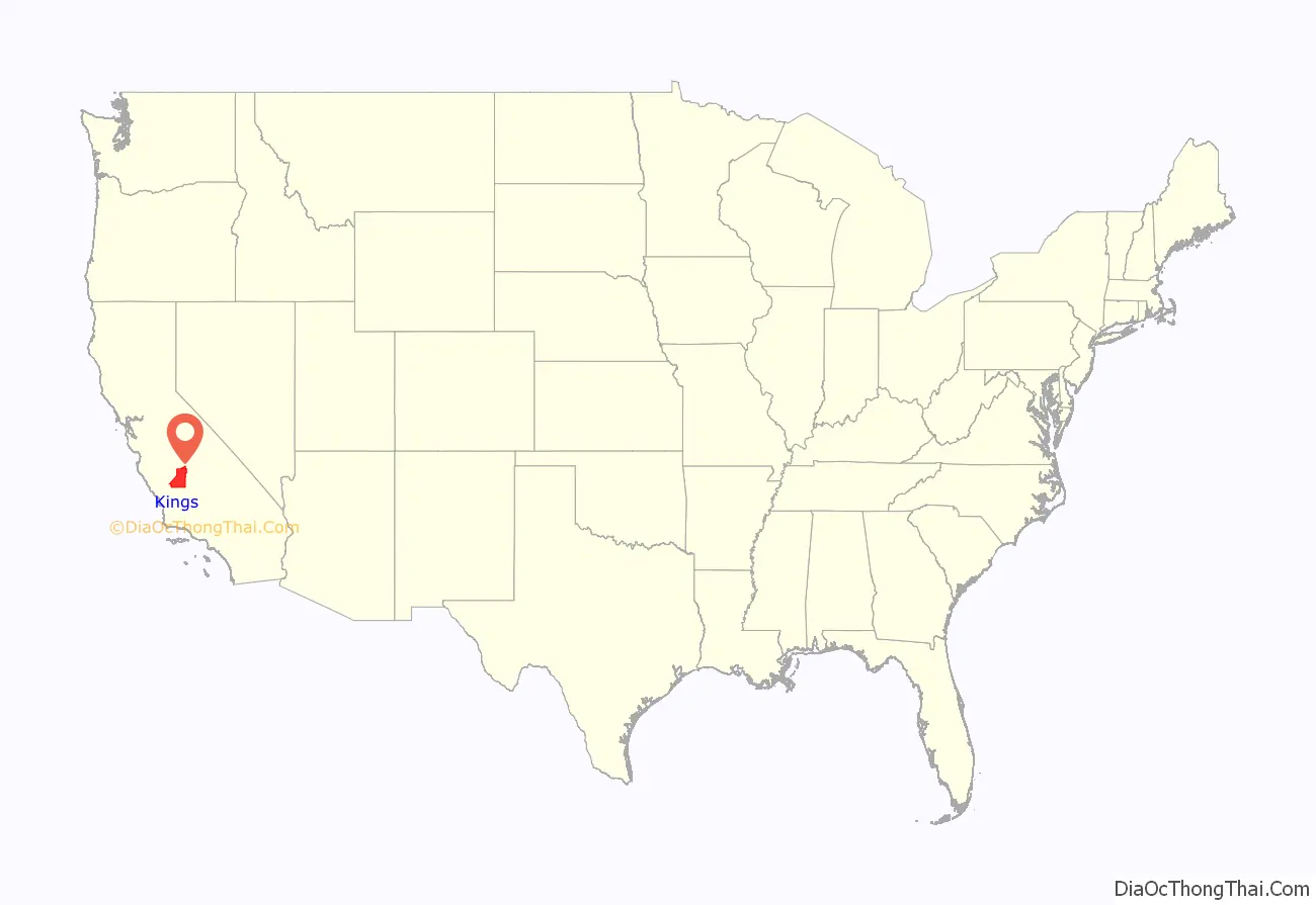
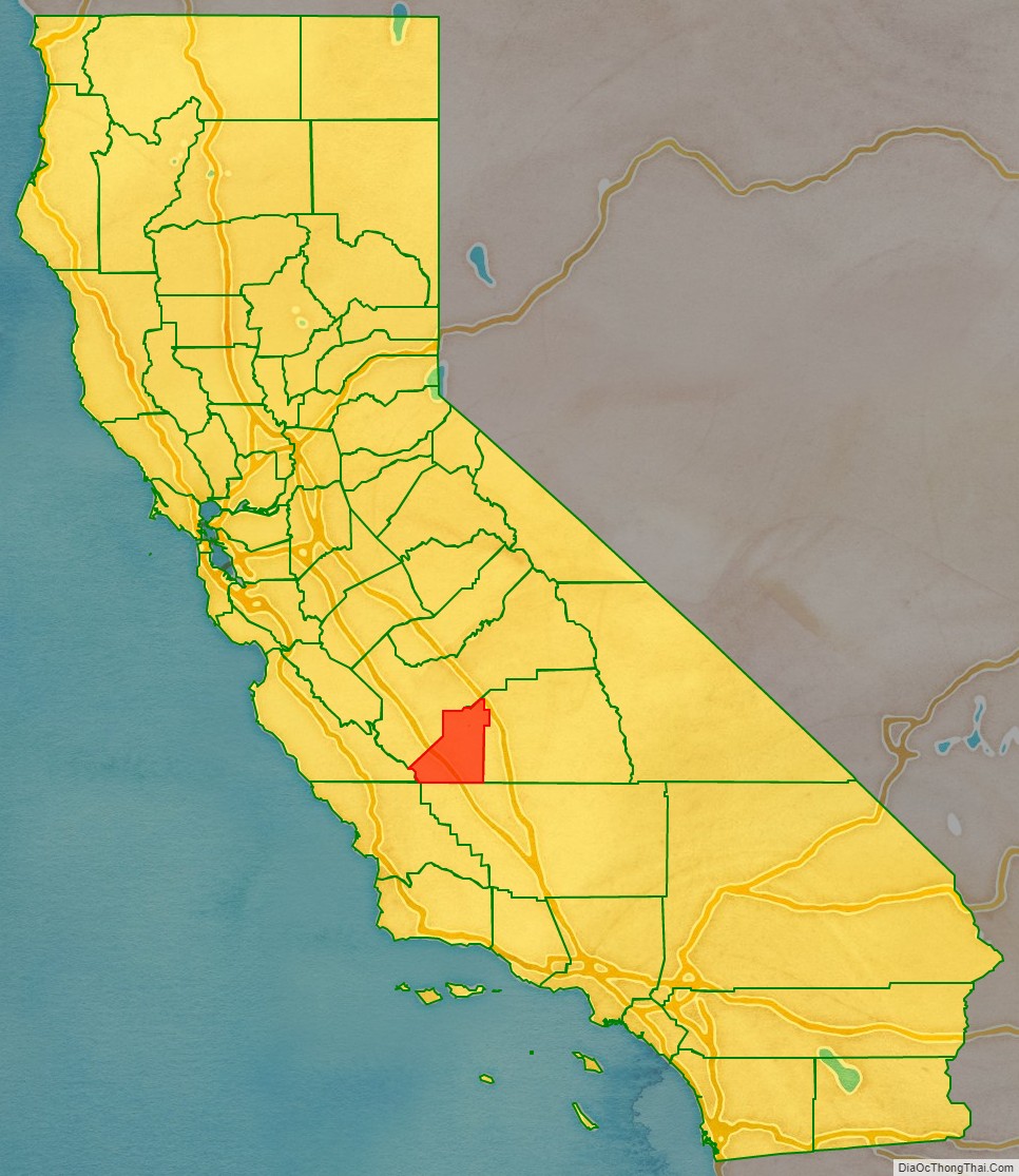
Kings County location map. Where is Kings County?
History
The area was inhabited for thousands of years by native Americans including the Tachi Yokuts tribe. They continue to live in the area on the Santa Rosa Rancheria. It was colonized by Spain, Mexico and the United States.
An 1805 expedition probably led by Spanish Army Lieutenant Gabriel Moraga recorded discovering the river, which they named El Rio de los Santos Reyes (River of the Holy Kings) after the Three Wise Men of the Bible. At the time of the United States conquest of California in 1848, the new government changed the name to Kings River after which the county was named.
In 1880, a dispute over land titles between settlers and the Southern Pacific Railroad resulted in a bloody gun battle on a farm 5.6 mi (9.0 km) northwest of Hanford; seven men died. This event became known as the Mussel Slough Tragedy.
Kings County was formed in 1893 from the western part of Tulare County. In 1909, by an act of the state legislature, 208 square miles (540 km) of Fresno County territory was added to the northwest portion of Kings County.
Settlers reclaimed Tulare Lake and its wetlands for agricultural development. In surface area, it was formerly the largest body of freshwater west of the Great Lakes, and supported a large population of migratory birds as well as local birds and wildlife. Monoculture has sharply reduced habitat for many species.
In 1928, oil was discovered in the Kettleman Hills located in the southwestern part of Kings County. The Kettleman North Dome Oil Field became one of the most productive oil fields in the United States.
During the Great Depression, over 18,000 cotton pickers in the southern San Joaquin Valley, mostly migrant Mexican workers, went on strike in the California agricultural strikes of 1933. During the strike, 3,500 striking farm workers lived in a four-acre camp on the land of a small farmer on the outskirts of Corcoran. Ultimately, the federal government intervened to force both sides to negotiate a settlement.
Lemoore Army Airfield was established for training and defense during World War II. In 1961, the U.S. Navy opened NAS Lemoore 9 miles (14 km) west of Lemoore, not far from the earlier site.
The completion of the California Aqueduct in the early 1970s brought needed water for agriculture and domestic use to the west side of the county.
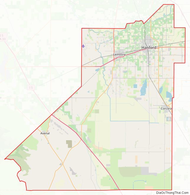
Kings County Road Map
Geography
According to the U.S. Census Bureau, the county has a total area of 1,392 square miles (3,610 km), of which 1,389 square miles (3,600 km) is land and 2.1 square miles (5.4 km) (0.2%) is water.
Kings County is bordered on the north and northwest by Fresno County, on the east by Tulare County, on the south by Kern County and a small part of San Luis Obispo County and on the west by Monterey County.
Table Mountain is the highest point in Kings County at an elevation of 3,476 feet (1,059 m). It is located in the Diablo Range in southwestern Kings County on the boundary between Kings and Monterey counties.
Most of the historic Tulare Lake was within Kings County. Although reclaimed for farming late in the 19th century, it was the largest freshwater lake west of the Great Lakes.
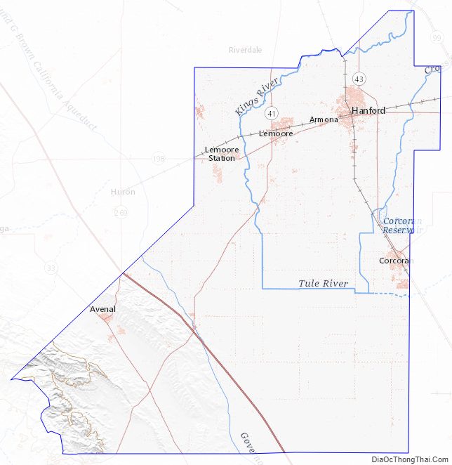
Kings County Topographic Map
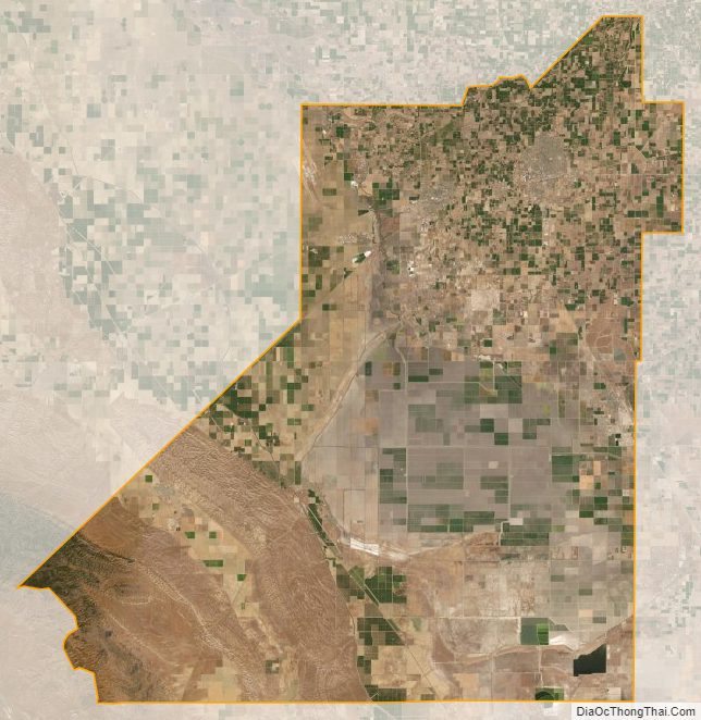
Kings County Satellite Map
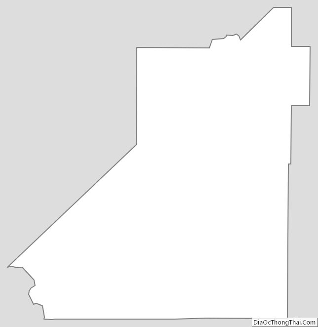
Kings County Outline Map