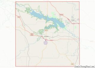
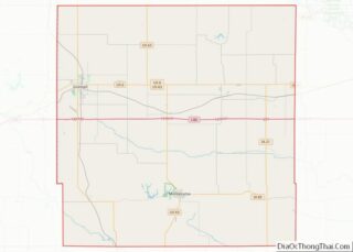
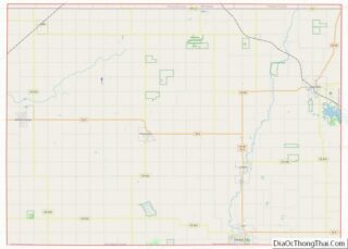
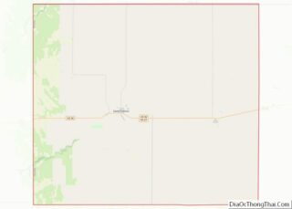
Map of Trinity County

Map of Trinity County, Texas

Trinity County is a county located in the U.S. state of Texas. As of the 2020 census, the population was 13,602. Its county seat is Groveton. The county is named for the Trinity River. Trinity County is included in the Huntsville, TX Micropolitan Statistical Area, which is also included in the Houston-The Woodlands, TX Combined … Read more

Map of Wilbarger County

Map of Wilbarger County, Texas

Wilbarger County overview: Name: Wilbarger County FIPS code: 48-487 State: Texas Founded: 1881 Named for: Josiah Pugh Wilbarger and Mathias Wilbarger Seat: Vernon Largest city: Vernon Total Area: 978 sq mi (2,530 km²) Land Area: 971 sq mi (2,510 km²) Total Population: 12,887 Population Density: 13/sq mi (5.1/km²) Time zone: UTC−6 (Central) Summer Time Zone (DST): UTC−5 (CDT) Website: www.co.wilbarger.tx.us Wilbarger County … Read more

Map of Davis County

Map of Davis County, Utah

Davis County is a county in northern Utah, United States. As of the 2010 United States Census, the population was 306,479, making it Utah’s third-most populous county. Its county seat is Farmington, and its largest city is Layton. Davis County is part of the Ogden–Clearfield, UT Metropolitan Statistical Area as well as the Salt Lake … Read more

Map of Summit County

Map of Summit County, Utah

Summit County is a county in the U.S. state of Utah, occupying a rugged and mountainous area. As of the 2010 United States Census, the population was 36,324. Its county seat is Coalville, and the largest city is Park City. Summit County overview: Name: Summit County FIPS code: 49-043 State: Utah Founded: 1854 Named for: … Read more

Map of Orange County

Map of Orange County, Vermont

Orange County is a county located in the U.S. state of Vermont. As of the 2020 census, the population was 29,277. Its shire town (county seat) is the town of Chelsea. Orange County was organized on February 2, 1781, as an original county within the state. Orange County overview: Name: Orange County FIPS code: 50-017 … Read more

Map of Bedford County

Map of Bedford County, Virginia

Bedford County is a United States county located in the Piedmont region of the Commonwealth of Virginia. Its county seat is the town of Bedford, which was an independent city from 1968 until rejoining the county in 2013. Bedford County was created in 1753 from parts of Lunenburg County, and several changes in alignment were … Read more

Map of Chesterfield County

Map of Chesterfield County, Virginia

Chesterfield County is located just south of Richmond in the Commonwealth of Virginia. The county’s borders are primarily defined by the James River to the north and the Appomattox River to the south. Its county seat is Chesterfield Court House. Chesterfield County was formed in 1749 from parts of Henrico County. It was named for … Read more

Map of Fauquier County

Map of Fauquier County, Virginia

Fauquier /fɔːˈkɪər/ is a county in the Commonwealth of Virginia. As of the 2020 census, the population was 72,972. The county seat is Warrenton. Fauquier County is in Northern Virginia and is a part of the Washington metropolitan area. Fauquier County overview: Name: Fauquier County FIPS code: 51-061 State: Virginia Founded: 1759 Named for: Francis … Read more

Map of Harrisonburg Independent City

Map of Harrisonburg City, Virginia

Harrisonburg is an independent city in the Shenandoah Valley region of the Commonwealth of Virginia in the United States. It is also the county seat of the surrounding Rockingham County, although the two are separate jurisdictions. At the 2020 census, the population was 51,814. The Bureau of Economic Analysis combines the city of Harrisonburg with … Read more

Map of Lynchburg Independent City

Map of Lynchburg City, Virginia

Lynchburg is an independent city in the Commonwealth of Virginia in the United States. First settled in 1757 by ferry owner John Lynch, the city’s population was 79,009 at the 2020 census, making Lynchburg the 11th most populous city in Virginia. Located in the foothills of the Blue Ridge Mountains along the banks of the … Read more

Map of Nottoway County

Map of Nottoway County, Virginia

Nottoway County is a county located in the Commonwealth of Virginia. As of the 2020 census, the population was 15,642. Its county seat is Nottoway. It is situated south of the James River, thus making it a part of the Southside Virginia Region. Nottoway County overview: Name: Nottoway County FIPS code: 51-135 State: Virginia Founded: … Read more

Map of Roanoke County

Map of Roanoke County, Virginia

Roanoke County (/ˈroʊ.əˌnoʊk/ ROH-ə-nohk) is a county located in the U.S. state of the Commonwealth of Virginia. As of the 2020 census, the population was 96,929. Its county seat is Salem, but the county administrative offices are located in the unincorporated Cave Spring area of the county. Roanoke County is part of the Roanoke, Virginia … Read more