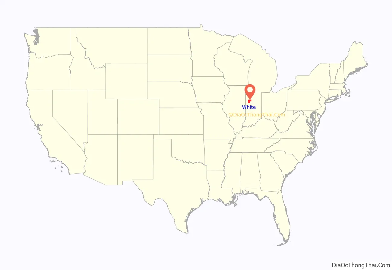
White County is a county in the U.S. state of Indiana. As of the 2010 United States Census, the population was 24,643. The county seat (and only incorporated city) is Monticello.
| Name: | White County |
|---|---|
| FIPS code: | 18-181 |
| State: | Indiana |
| Founded: | 1 February 1834 (authorized) |
| Named for: | Isaac White |
| Seat: | Monticello |
| Largest city: | Monticello |
| Total Area: | 508.68 sq mi (1,317.5 km²) |
| Land Area: | 505.12 sq mi (1,308.3 km²) |
| Population Density: | 47.8/sq mi (18.5/km²) |
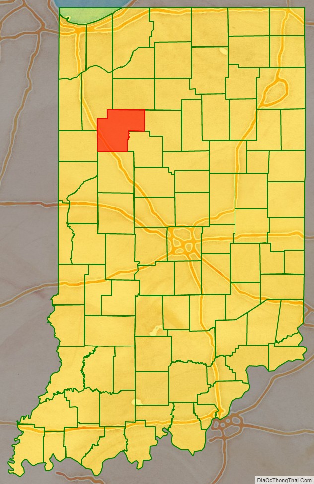
White County location map. Where is White County?
History
The first white settlers in the future White County arrived in the land west of Tippecanoe River in 1829, and in other parts of the county in 1831. This area was part of Carroll County during that period.
By 1833, so many settlers had entered the area that the state legislature were pressured to have a separate county created. On 1 February 1834 the state approved the creation of this county, directing that it be named for Isaac White. Interim commissioners were named and directed to organize the county during the summer of 1834, and to choose a county seat in September. They did so on 5 September 1834, naming Monticello as the future seat, due to its central location. While the county was being organized, it was attached to Carroll County for administrative and judicial purposes.
The county name honored Isaac White of Equality, Illinois, who was killed at the Battle of Tippecanoe in 1811. White was a Colonel in the Illinois militia, who volunteered to serve as a Private in the Indiana militia in the march against Prophetstown. He was placed under the command of Kentucky Maj. Joseph Hamilton Daveiss. The two exchanged swords in a demonstration of mutual respect at Fort Vincennes. In the Battle of Tippecanoe they died together and were buried in a common grave at Battle Ground.
Alterations were made to the county’s boundaries on 24 December 1834, on 4 February 1837, and on 14 February 1839. In addition, the counties of Jasper (1837), Pulaski (1839), Newton (1839), and Benton (1840) removed significant portions of the county’s territory. The borders have remained unchanged since 1840.
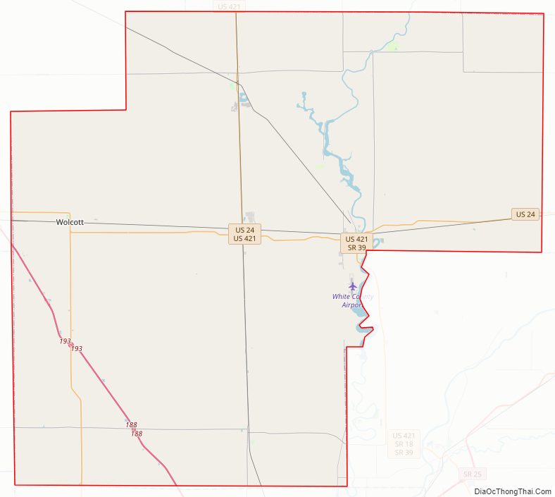
White County Road Map
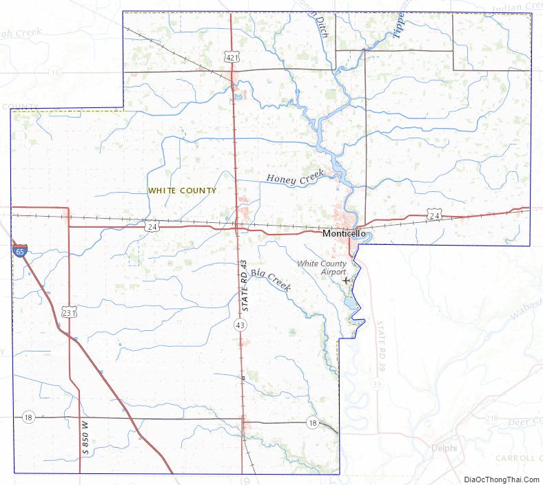
Geography
The low, rolling hills of White County are entirely devoted to agriculture or to urban development. The Tippecanoe River flows southward through the central part of the county. The highest point on the terrain (770 feet/230 meters ASL) is a gentle rise about 2.8 miles (4.5 km) SSE from Wolcott.
According to the 2010 United States Census, the county has a total area of 508.68 square miles (1,317.5 km), of which 505.12 square miles (1,308.3 km) (or 99.30%) is land and 3.56 square miles (9.2 km) (or 0.70%) is water.
Adjacent counties
- Pulaski County – north
- Cass County – east
- Carroll County – southeast
- Tippecanoe County – south
- Benton County – west
- Jasper County – northwest/CST Border
City and towns
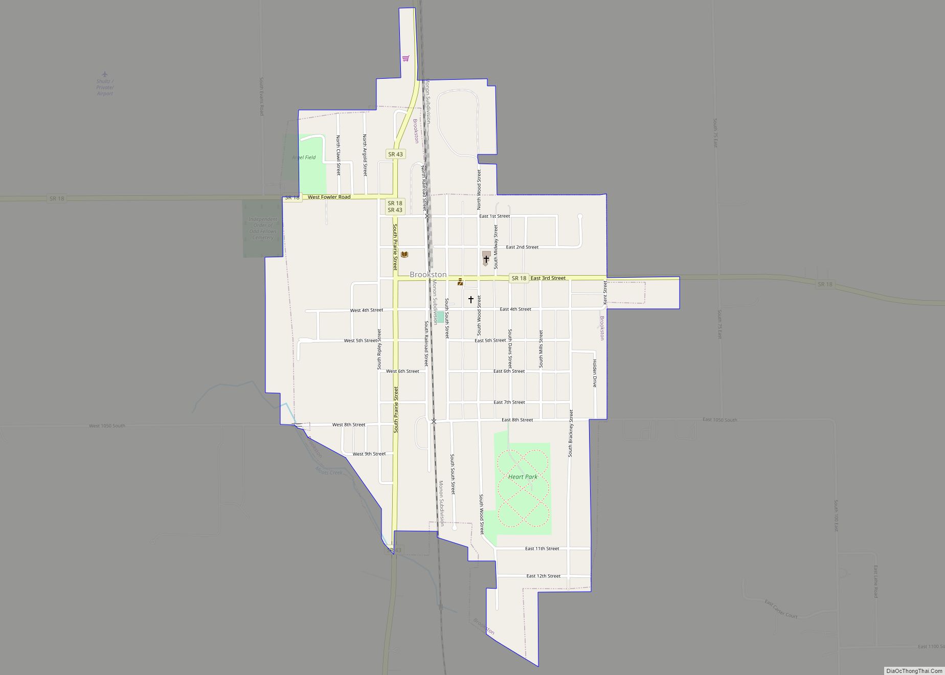
- Brookston (town)
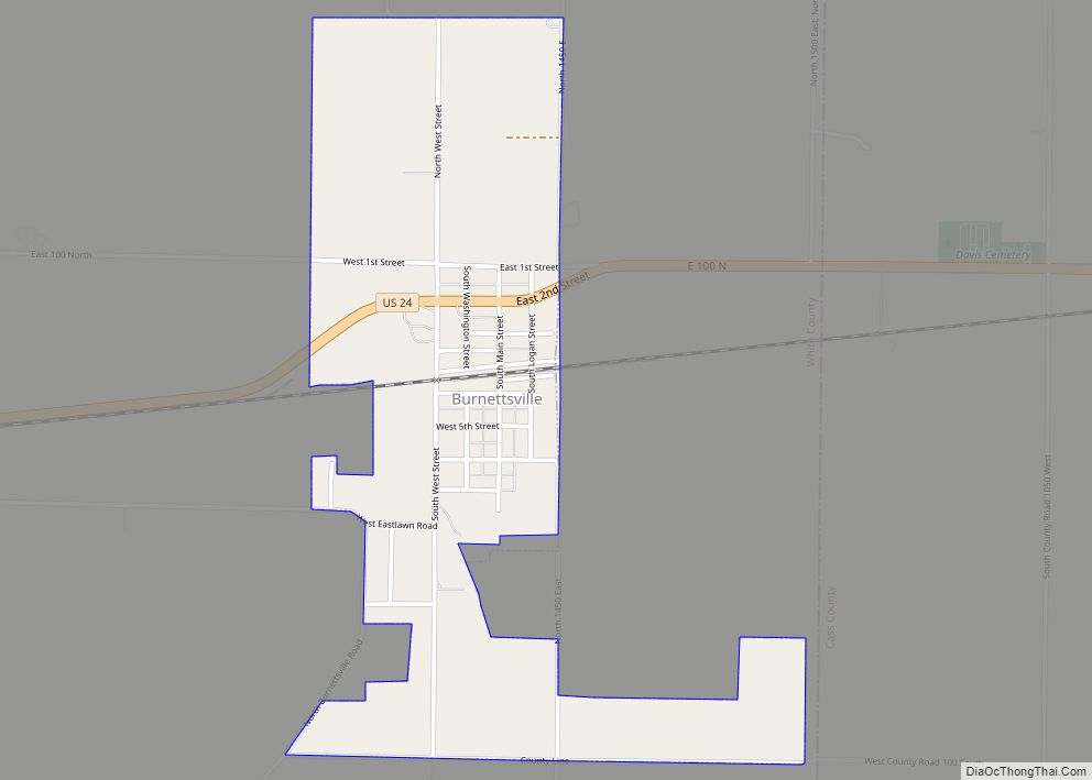
- Burnettsville (town)
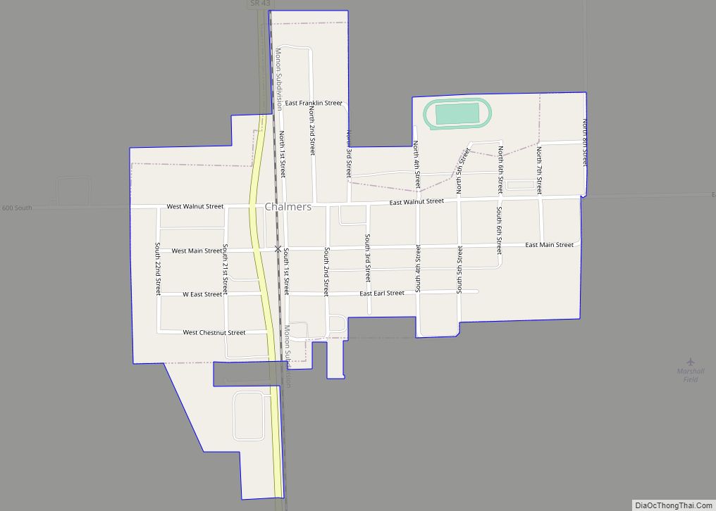
- Chalmers (town)
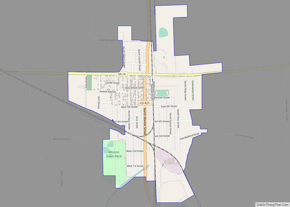
- Monon (town)
- Monticello (city/county seat)
- Reynolds (town)
- Wolcott (town)
Census-designated places
Unincorporated places
- Badger Grove
- Bell Center
- Cedar Point
- East Monticello
- Golden Hill
- Guernsey
- Headlee
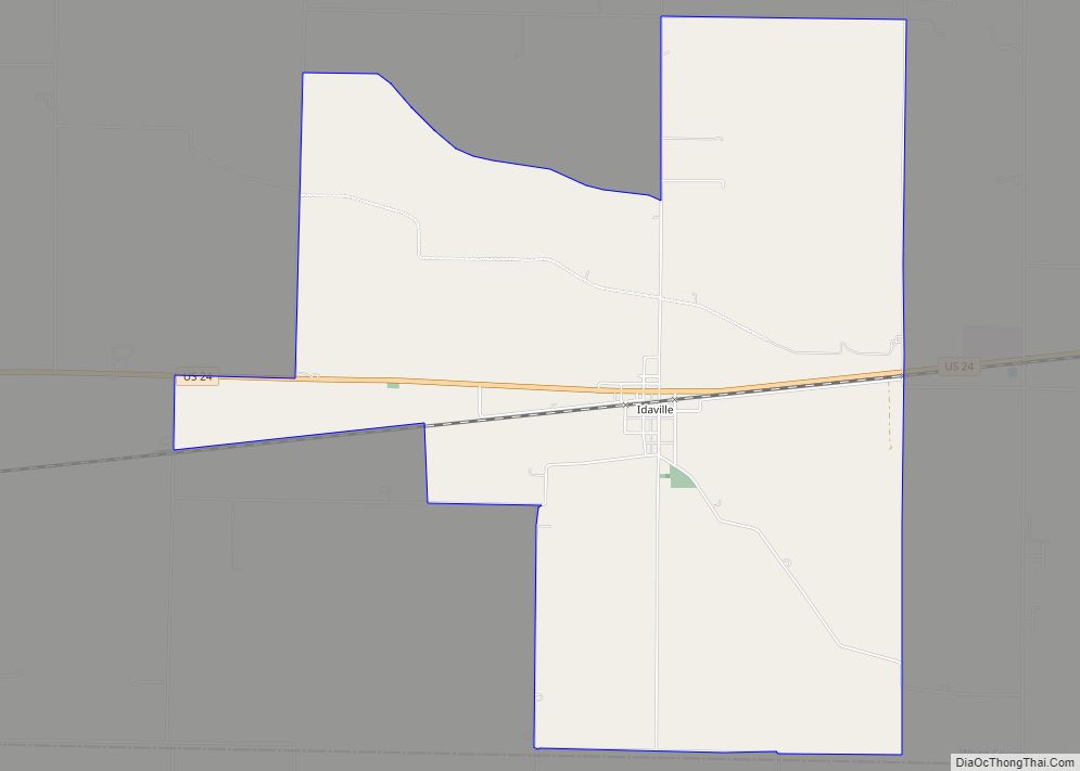
- Indiana Beach
- Lee
- Round Grove
- Seafield
- Sitka
- Smithson
- Springboro
Townships
- Big Creek
- Cass
- Honey Creek
- Jackson
- Liberty
- Lincoln
- Monon
- Prairie
- Princeton
- Round Grove
- Union
- West Point
Major highways
- Interstate 65
- U.S. Route 24
- U.S. Route 231
- U.S. Route 421
- Indiana State Road 16
- Indiana State Road 18
- Indiana State Road 39
- Indiana State Road 43
- Indiana State Road 119
Railroads
- CSX Transportation
- Toledo, Peoria and Western Railway
White County Topographic Map
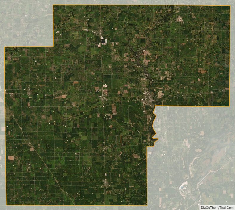
White County Satellite Map
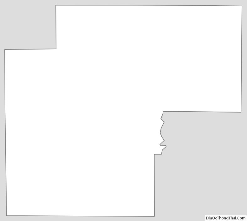
White County Outline Map