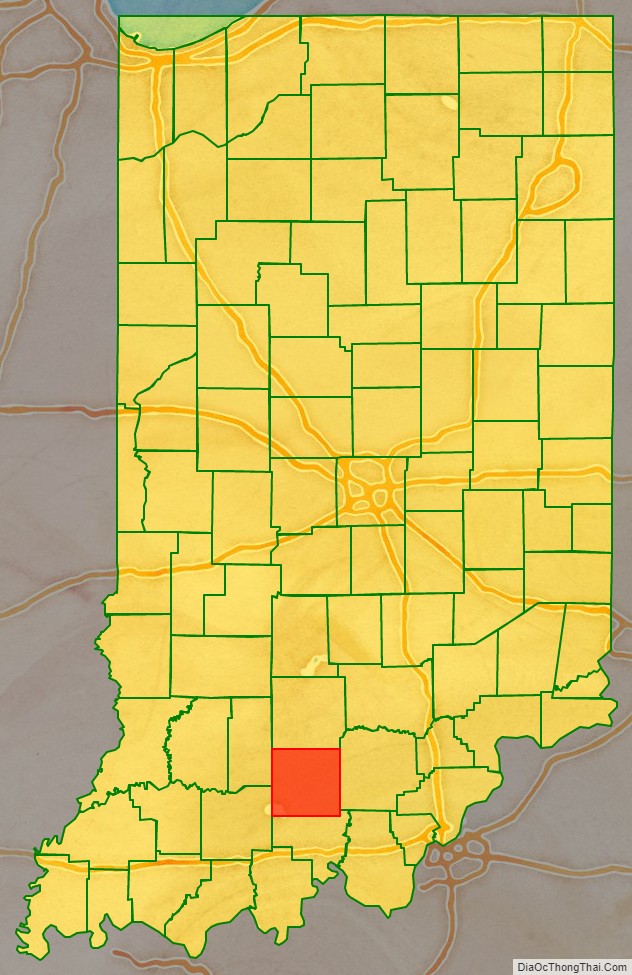
Orange County is located in southern Indiana in the United States. As of 2020, its population was 19,867. The county seat is Paoli. The county has four incorporated settlements with a total population of about 8,600, as well as several small unincorporated communities. It is divided into 10 townships which provide local services. One U.S. route and five Indiana state roads pass through or into the county.
| Name: | Orange County |
|---|---|
| FIPS code: | 18-117 |
| State: | Indiana |
| Founded: | February 1, 1816 |
| Named for: | King William of Orange (William III of England) |
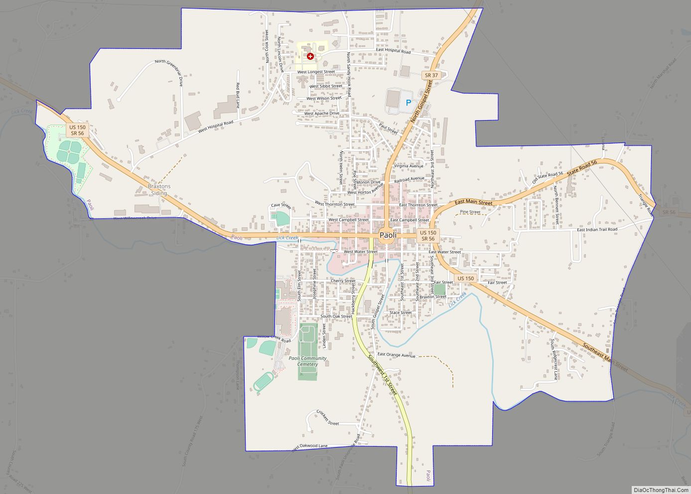
| Seat: | Paoli |
| Largest town: | Paoli |
| Total Area: | 408.19 sq mi (1,057.2 km²) |
| Land Area: | 398.39 sq mi (1,031.8 km²) |
| Total Population: | 19,867 |
| Population Density: | 49.7/sq mi (19.17/km²) |
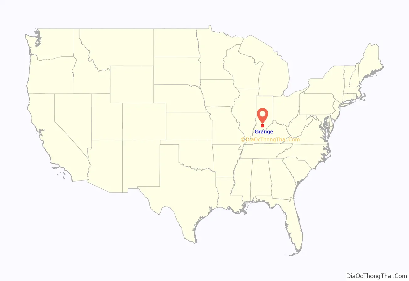
Orange County location map. Where is Orange County?
History
Orange County was formed from parts of Knox County, Gibson County and Washington County by the Indiana Territorial Legislature, on December 26, 1815 (effective February 1, 1816). In 1816 the Orange County seat was designated at Paoli, which was named after Pasquale Paoli Ash, the 12-year-old son of the sitting North Carolina Governor.
The early settlers were mostly Quakers fleeing the institution of slavery in Orange County, North Carolina. Jonathan Lindley brought his group of Quakers from North Carolina to the area in 1811. They were the first to build a religious structure, the Lick Creek Meeting House in 1813. It was from this group that Orange County got its name. (See List of Indiana county name etymologies). The name Orange derives from the Dutch Protestant House of Orange, which accessed the English throne with the accession of King William III in 1689, following the Glorious Revolution.
When the North Carolina Quakers came to Indiana, they brought several freed slaves. These free men were deeded 200 acres (0.81 km) of land in the heart of a dense forest. Word of mouth soon spread the news, and this land became part of the “underground railroad” for runaway slaves. For many years, the freed slaves in this area farmed, traded, and sold their labor to others while living in this settlement. A church and cemetery were constructed.
All that remains today is the cemetery, with many lost or vandalized headstones. Several years ago, Boy Scouts restored the cemetery, replacing the stones with wooden crosses designating a grave. The name of “Little Africa” came about because of the black settlement, but it was called “Paddy’s Garden” by its early users.
Courthouse
The first courthouse was a temporary log structure that was built for $25; a more permanent stone structure was completed in 1819 at a cost of $3,950. In 1847, plans were made for a larger courthouse, which was completed in 1850 at a cost of $14,000. This building is the second oldest courthouse in the state that has been continuously used since its construction. Like the oldest in Ohio County, it is a Greek Revival building with two stories and a Doric portico supported by fluted columns; it has ornamental iron stairs and a clock tower. In 1970, the clock tower was damaged by fire.
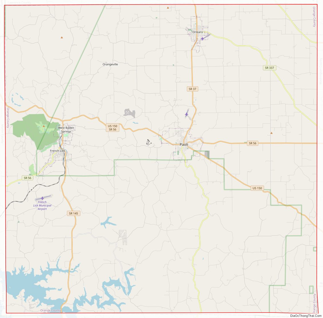
Orange County Road Map
Geography
Much of the south part of the county, south of Paoli and French Lick, is part of the Hoosier National Forest. Patoka Lake is within the national forest; the majority of the lake lies in Orange County, with parts extending into neighboring Dubois and Crawford counties.
According to the 2010 United States Census, Orange County has a total area of 408.19 square miles (1,057.2 km), of which 398.39 square miles (1,031.8 km) (or 97.60%) is land and 9.80 square miles (25.4 km) (or 2.40%) is water.
Adjacent counties
- Lawrence County – north
- Washington County – east
- Crawford County – south
- Dubois County – southwest
- Martin County – northwest
Villages
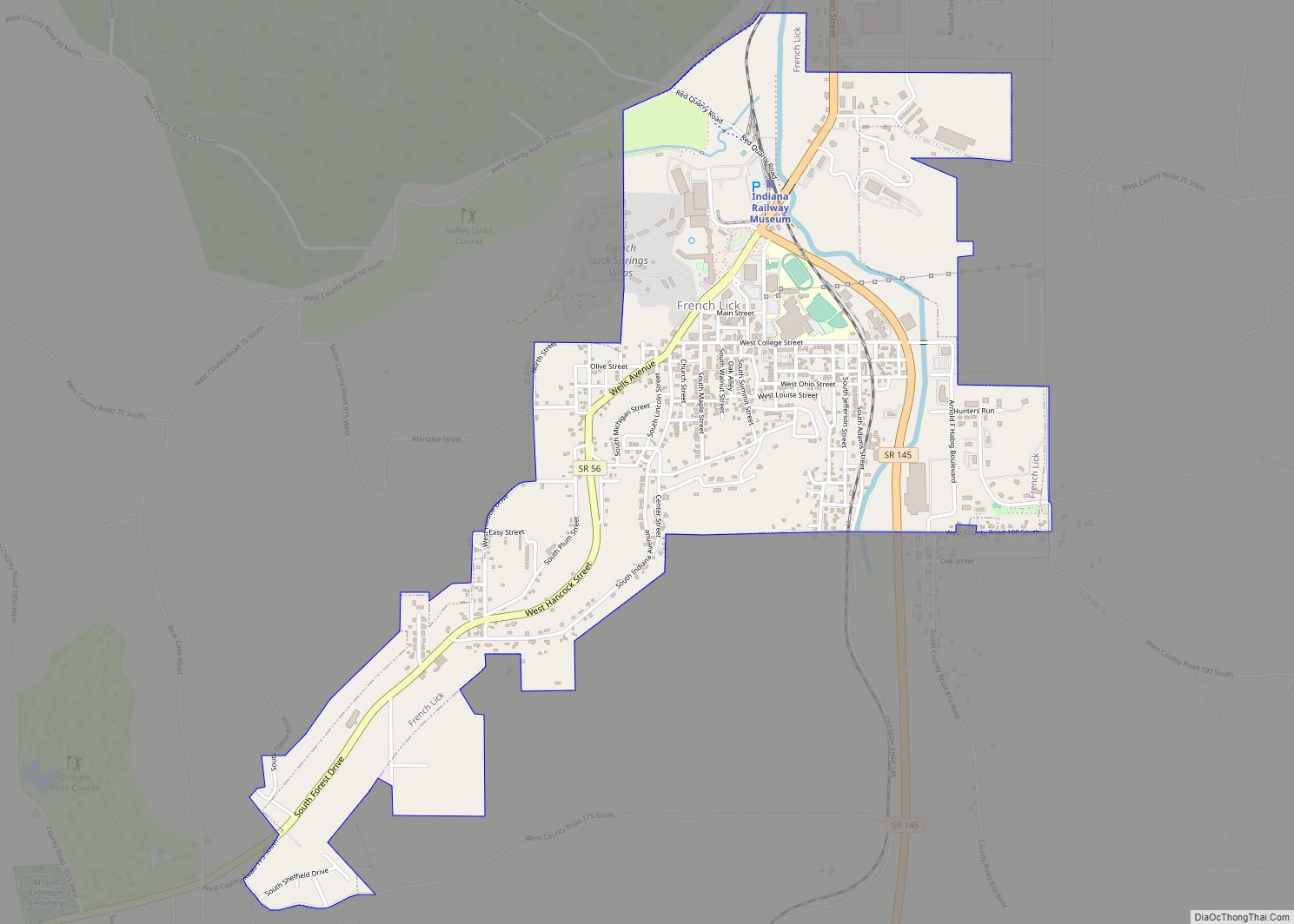
- French Lick
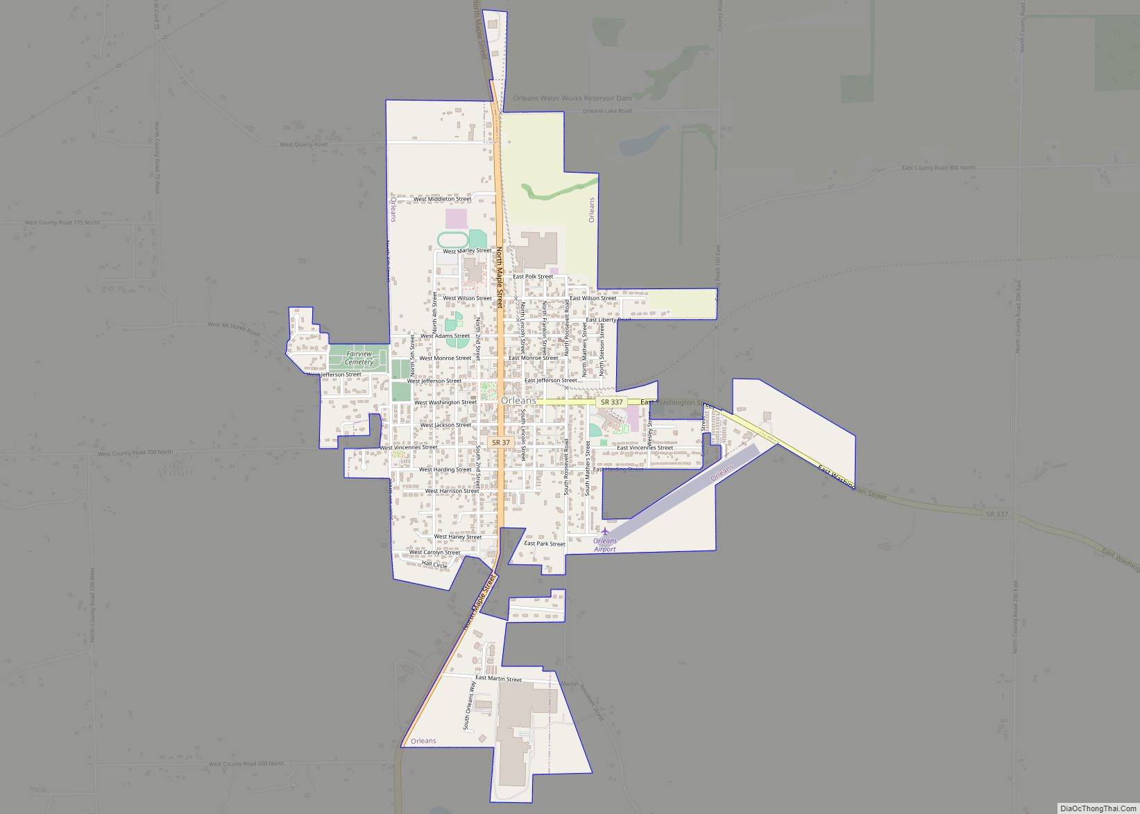
- Orleans
- Paoli (county seat)
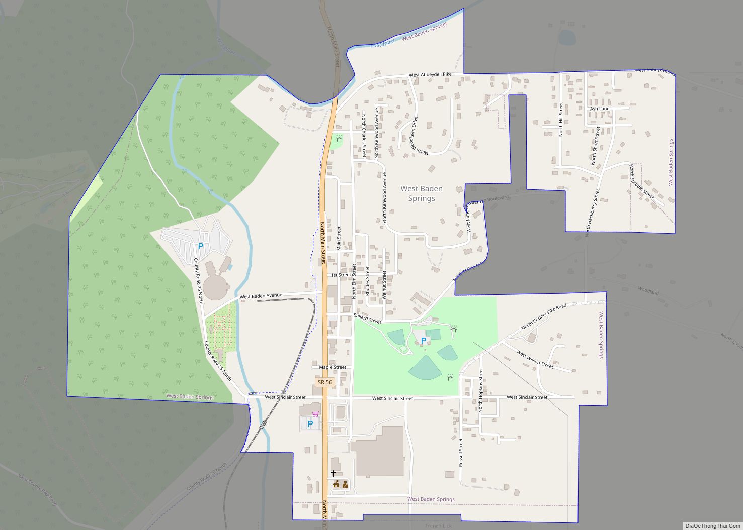
- West Baden Springs
Unincorporated communities
- Abydel
- Bacon
- Bonds
- Bromer
- Chambersburg
- Ethel
- Fargo – called Pittsburgh before 1888
- Greenbrier – also Green Brier
- Hindostan
- Leipsic – called Lancaster before 1852
- Lost River
- Mahan Crossing
- Millersburg
- Newton Stewart
- Norton − called Dillon before 1908
- Orangeville
- Pearsontown
- Pine Valley
- Prospect – called New Prospect before 1853
- Pumpkin Center
- Rego
- Roland
- Scarlet
- Stampers Creek
- Syria
- Trotter Crossing
- Turleys
- Valeene
- Woodlawn Grove
- Youngs Creek – called Unionville before 1867
Townships
- French Lick
- Greenfield
- Jackson
- Northeast
- Northwest
- Orangeville
- Orleans
- Paoli
- Southeast
- Stampers Creek
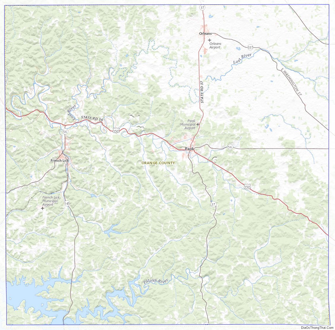
Orange County Topographic Map
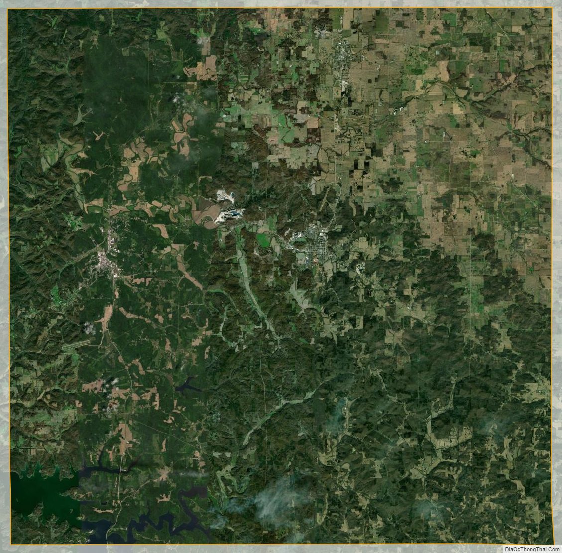
Orange County Satellite Map
Orange County Outline Map