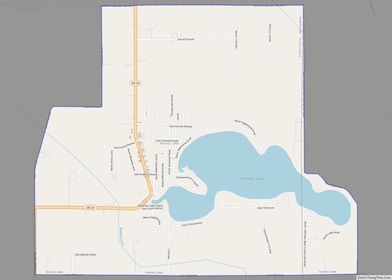
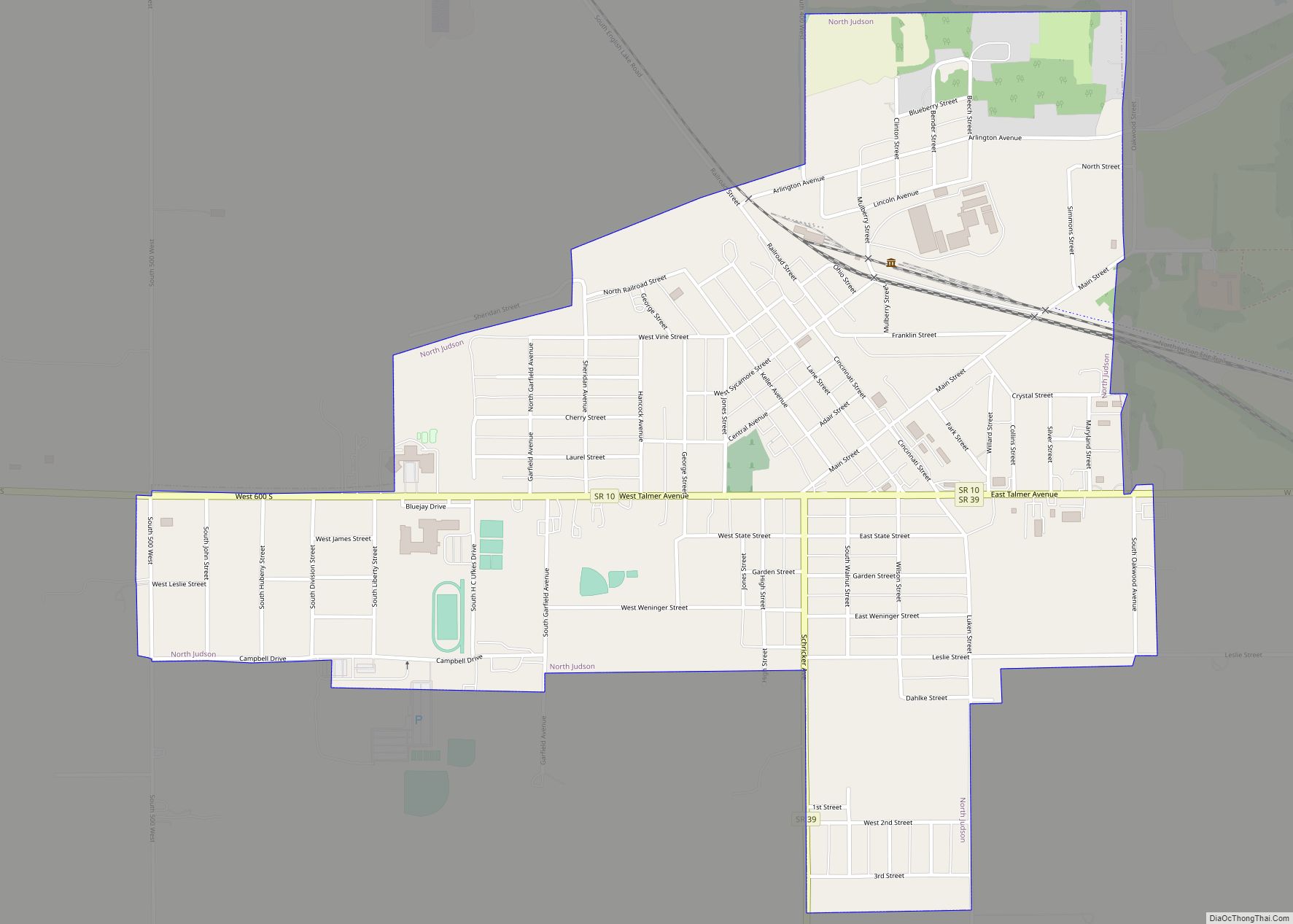
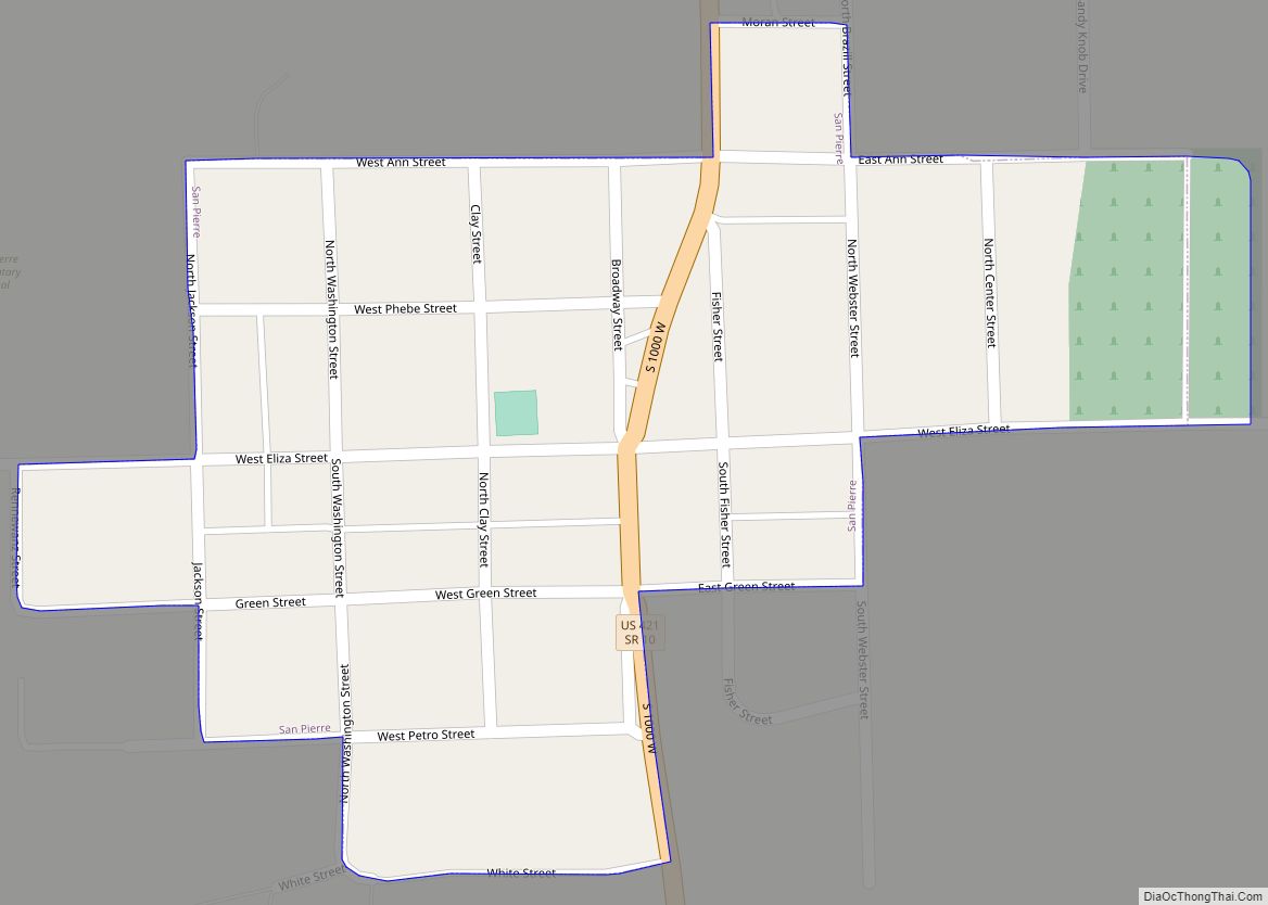
Starke County is a county in the U.S. state of Indiana. As of the 2020 United States Census, the population was 23,371. The county seat is Knox.
| Name: | Starke County |
|---|---|
| FIPS code: | 18-149 |
| State: | Indiana |
| Founded: | 7 February 1835 (authorized) 1850 (organized) |
| Named for: | General John Stark |
| Seat: | Knox |
| Largest city: | Knox |
| Total Area: | 312.21 sq mi (808.6 km²) |
| Land Area: | 309.13 sq mi (800.6 km²) |
| Population Density: | 74.2/sq mi (28.6/km²) |
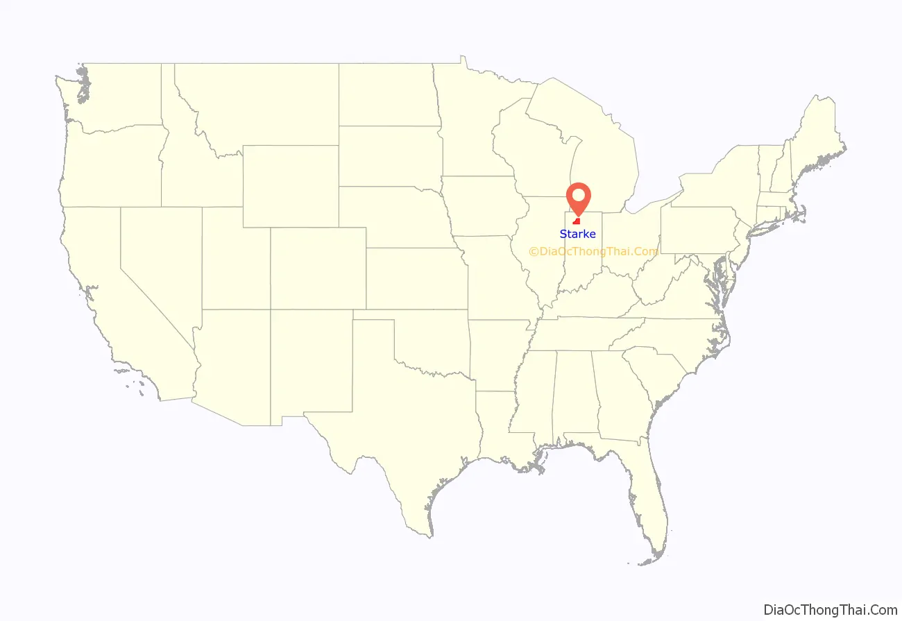
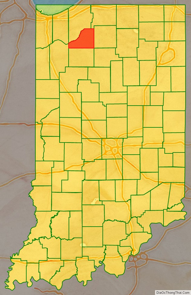
Starke County location map. Where is Starke County?
History
The Indiana State Legislature passed an omnibus county bill on 7 February 1835 that authorized the creation of thirteen counties in northeast Indiana, including Starke. The county government organization commenced in 1850. It was named for Gen. John Stark, who commanded New Hampshire troops at the Battle of Bunker Hill in 1775 in the American Revolutionary War, and who defeated the British at the Battle of Bennington in 1777.
Before white settlement, all of the land that forms modern-day Starke County and adjacent LaPorte County to the north was inhabited by the Potawatami Indian nation. These groups were forcibly removed to Kansas by the United States government in 1838, and many died on what has been called the Potawatomi Trail of Death.
When Starke County was created, it included the present LaPorte County townships of Cass, Dewey, Hanna, and Prairie. It was necessary for residents in this area to travel some distance east to Lemon’s Bridge to cross the Kankakee River in order to travel south to the center of the county, the future site of the county seat at Knox. Therefore, because they were effectively isolated from the rest of Starke county, residents north of the river petitioned to be annexed to LaPorte county and this was done on January 28, 1842.
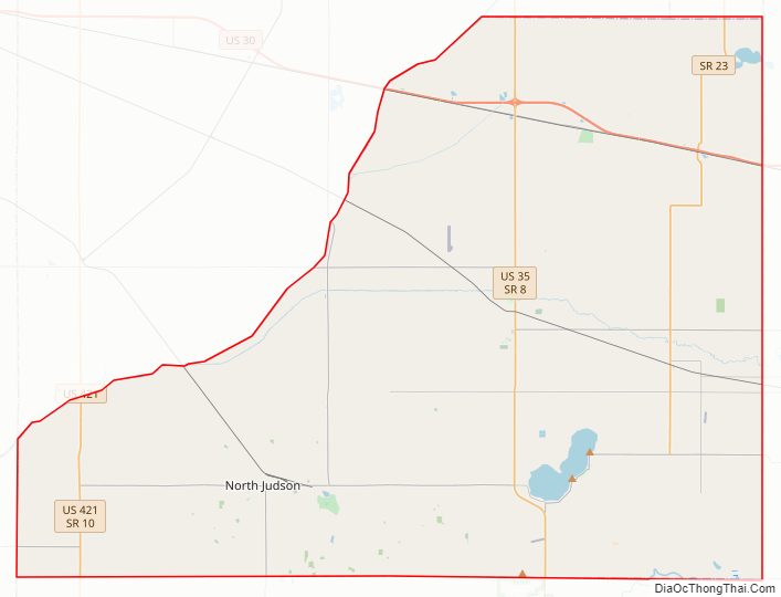
Starke County Road Map
Geography
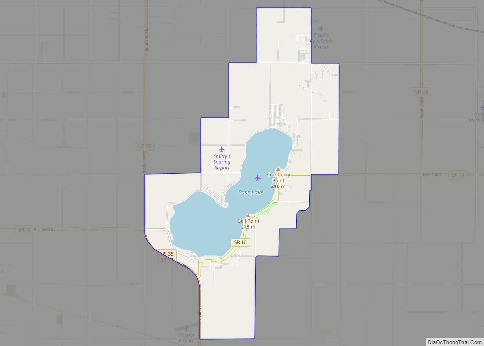
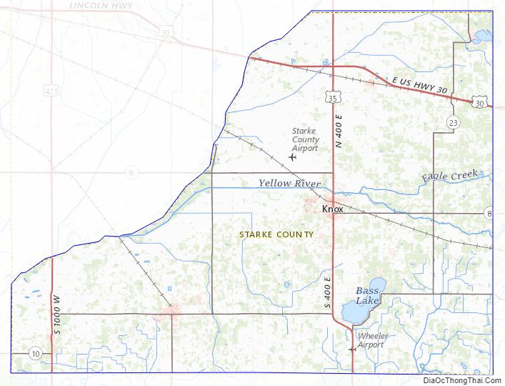
Starke County consists of low rolling hills covered with vegetation or brush. Its boundaries include three prominences that rise to 780′ (238m) ASL: two adjacent swells 0.6 mile (1.0 km) NE of Bass Lake, and a small ridge 3.0 miles (4.8 km) ESE of Bass Lake.
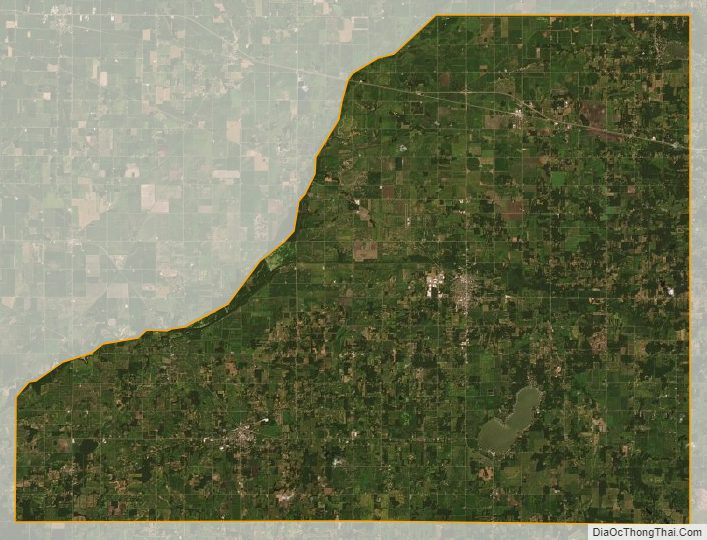
According to the 2010 census, Starke County has a total area of 312.21 square miles (808.6 km), of which 309.13 square miles (800.6 km) (or 99.01%) is land and 3.07 square miles (8.0 km) (or 0.98%) is water. The northwestern boundary of Starke County is defined by the Kankakee River; the Yellow River, a tributary of the Kankakee, flows through the central part of the county, past Knox.
Major highways
- U.S. Route 30
- U.S. Route 35
- U.S. Route 421
- State Road 8
- State Road 10
- State Road 23
- State Road 39
Adjacent counties
- LaPorte County – north
- St. Joseph County – northeast
- Marshall County – east
- Fulton County – southeast
- Pulaski County – south
- Jasper County – west
- Porter County – northwest
Starke County Topographic Map
Starke County Satellite Map
Starke County Outline Map