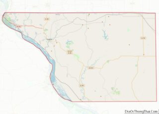
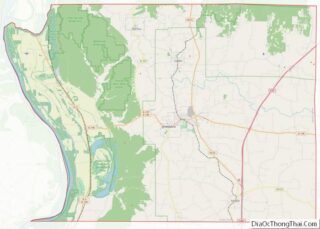
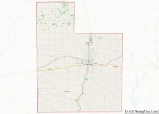
Map of Lincoln County, Nevada
Lincoln County overview: Name: Lincoln County FIPS code: 32-017 State: Nevada Founded: 1866 Named for: Abraham Lincoln Seat: Pioche Largest city: Caliente Total Area: 10,637 sq mi (27,550 km²) Land Area: 10,633 sq mi (27,540 km²) Total Population: 4,499 Population Density: 0.42/sq mi (0.16/km²) Time zone: UTC−8 (Pacific) Summer Time Zone (DST): UTC−7 (PDT) Website: lincolncountynv.org Lincoln County location map. Where is ... Read more
Map of Lincoln County, Nevada
Map of Strafford County, New Hampshire
Strafford County is a county in the U.S. state of New Hampshire. As of the 2020 census, the population was 130,889. Its county seat is Dover. Strafford County was one of the five original counties identified for New Hampshire in 1769. It was named after William Wentworth, 2nd Earl of Strafford in the mistaken belief ... Read more
Map of Strafford County, New Hampshire
Map of Ocean County, New Jersey
Ocean County overview: Name: Ocean County FIPS code: 34-029 State: New Jersey Founded: 1850 Named for: Atlantic Ocean Seat: Toms River Largest city: Lakewood Township (population)Jackson Township (area) Total Area: 915.40 sq mi (2,370.9 km²) Land Area: 628.78 sq mi (1,628.5 km²) Total Population: 637,229 Population Density: 700/sq mi (270/km²) Website: www.co.ocean.nj.us Ocean County location map. Where is Ocean County? Ocean County ... Read more
Map of Ocean County, New Jersey
Map of Grant County, New Mexico
Grant County is a county located in the U.S. state of New Mexico. At the 2020 census, the population was 28,185. Its county seat is Silver City. The county was founded in 1868 and named for Ulysses S. Grant, the 18th President of the United States. Grant County comprises the Silver City, NM, Micropolitan Statistical ... Read more
Map of Grant County, New Mexico
Map of Sandoval County, New Mexico
Sandoval County (Spanish: Condado de Sandoval) is located in the U.S. state of New Mexico. As of the 2020 census, the population was 148,834, making it the fourth-most populous county in New Mexico. The county seat is Bernalillo. Sandoval County is part of the Albuquerque metropolitan area. Sandoval County overview: Name: Sandoval County FIPS code: ... Read more
Map of Sandoval County, New Mexico
Map of Clinton County, New York
Clinton County is a county in the north-easternmost corner of the state of New York, in the United States and bordered by the Canadian province of Quebec. As of the 2020 United States Census, the population was 79,843. Its county seat is the city of Plattsburgh. The county lies just south of the border with ... Read more
Map of Clinton County, New York
Map of Lewis County, New York
Lewis County is a county located in the U.S. state of New York. As of the 2020 census, the population was 26,582, making it the fourth-least populous county in New York. Its county seat is Lowville. The county is named after Morgan Lewis, the Governor of New York when the county was established. Lewis County ... Read more
Map of Lewis County, New York
Map of Queens County, New York
Queens is a borough of New York City, coextensive with Queens County, in the U.S. state of New York. Located on Long Island, it is the largest New York City borough by area. It is bordered by the borough of Brooklyn at the western tip of Long Island, and Nassau County to its east. Queens ... Read more
Map of Queens County, New York
Map of Warren County, New York
Warren County is a county in the U.S. state of New York. As of the 2020 census, the population was 65,737. The county seat is Queensbury. The county was established in 1813 and is named in honor of General Joseph Warren, an American Revolutionary War hero of the Battle of Bunker Hill. Warren County is ... Read more
Map of Warren County, New York
Map of Buncombe County, North Carolina
Buncombe County is a county located in the U.S. state of North Carolina. It is classified within Western North Carolina. The 2020 census reported the population was 269,452. Its county seat is Asheville. Buncombe County is part of the Asheville, NC Metropolitan Statistical Area. Buncombe County overview: Name: Buncombe County FIPS code: 37-021 State: North ... Read more
Map of Buncombe County, North Carolina
Map of Currituck County, North Carolina
Currituck County (/ˈkʊrɪtʌk/) is the northeastern most county in the U.S. state of North Carolina. As of the 2020 census, the population was 28,100. Its county seat is Currituck. The county was formed in 1668 as a precinct of Albemarle County and later gained county status in 1739. The name is “traditionally said to be ... Read more
Map of Currituck County, North Carolina
Map of Harnett County, North Carolina
Harnett County is a county located in the U.S. state of North Carolina. As of the 2020 census, the population was 133,568. Its county seat is Lillington; its largest city is Dunn. Harnett County is part of the Fayetteville metropolitan statistical area. Harnett County overview: Name: Harnett County FIPS code: 37-085 State: North Carolina Founded: ... Read more
Map of Harnett County, North Carolina