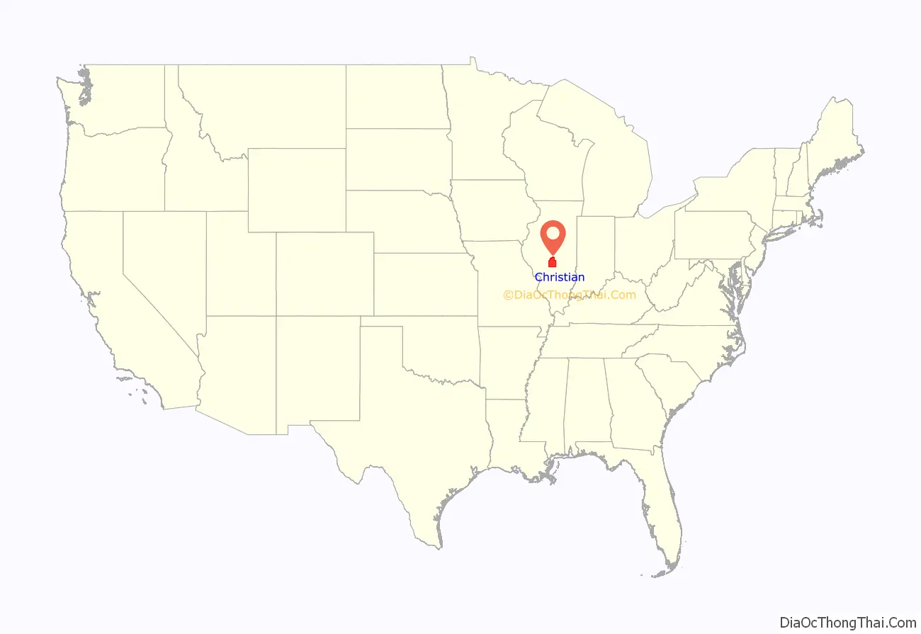
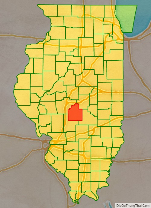
Christian County is a county located in the U.S. state of Illinois. As of the 2010 census, the population was 34,800. Its county seat is Taylorville.
| Name: | Christian County |
|---|---|
| FIPS code: | 17-021 |
| State: | Illinois |
| Founded: | 1839 |
| Named for: | Christian County, Kentucky |
| Seat: | Taylorville |
| Largest city: | Taylorville |
| Total Area: | 716 sq mi (1,850 km²) |
| Land Area: | 709 sq mi (1,840 km²) |
| Total Population: | 34,800 |
| Population Density: | 49/sq mi (19/km²) |
| Time zone: | UTC−6 (Central) |
| Summer Time Zone (DST): | UTC−5 (CDT) |
| Website: | christiancountyil.com |
Christian County location map. Where is Christian County?
History
Christian County was formed February 15, 1839, out of Sangamon, Montgomery and Shelby counties. It was named for Christian County, Kentucky. It was originally named Dane County and was called Dane County until 1840.
Christian County at its creation in 1839
Christian County Road Map
Geography
According to the U.S. Census Bureau, the county has a total area of 716 square miles (1,850 km), of which 709 square miles (1,840 km) is land and 6.3 square miles (16 km) (0.9%) is water. The county is bounded on the north by Sangamon River, and intersected by the south fork of that stream.
Adjacent counties
- Macon County (northeast)
- Shelby County (southeast)
- Montgomery County (southwest)
- Sangamon County (northwest)
Major highways
- US Route 51
- Illinois Route 16
- Illinois Route 29
- Illinois Route 48
- Illinois Route 104


