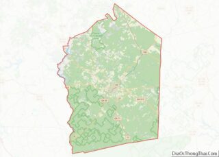
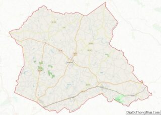
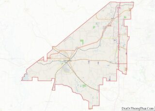
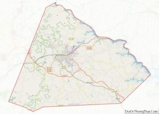
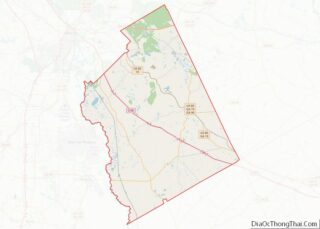
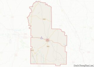
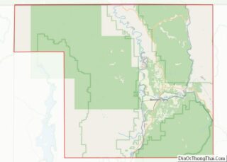
Map of Emery County

Map of Emery County, Utah

Emery County is a county in east-central Utah, United States. As of the 2010 United States Census, the population was 10,976. Its county seat is Castle Dale, and the largest city is Huntington. Emery County overview: Name: Emery County FIPS code: 49-015 State: Utah Founded: February 12, 1880 Named for: George W. Emery Seat: Castle … Read more

Map of Uintah County

Map of Uintah County, Utah

Uintah County (/juːˈɪntə/ yoo-IN-tə) is a county in the U.S. state of Utah. As of the 2020 United States Census the population was 35,620. Its county seat and largest city is Vernal. The county was named for the portion of the Ute Indian tribe that lived in the basin. Uintah County is the largest natural … Read more

Map of Rutland County

Map of Rutland County, Vermont

Rutland County is a county located in the U.S. state of Vermont. As of the 2020 census, the population was 60,572, making it the second-most populous county in Vermont. Its county seat and most populous municipality is the city of Rutland. Rutland County overview: Name: Rutland County FIPS code: 50-021 State: Vermont Founded: 1781 Named … Read more

Map of Bland County

Map of Bland County, Virginia

Bland County is a United States county located in the southwestern portion of the Commonwealth of Virginia. Like most of Southwestern Virginia, it is part of the Appalachian region. The county seat is the unincorporated area of Bland. Bland County was created in 1861 from parts of Wythe, Tazewell, and Giles counties in Virginia. The … Read more

Map of Clifton Forge City Independent City

Map of Clifton Forge City Independent City, Virginia

Clifton Forge City Independent City overview: Name: Clifton Forge City Independent City State: Virginia Named for: The Clifton estate in Lexington Total Area: 3.08 sq mi (7.98 km²) Land Area: 3.02 sq mi (7.82 km²) Total Population: 3,555 Population Density: 1,200/sq mi (450/km²) Clifton Forge City Independent City location map. Where is Clifton Forge City Independent City? History Clifton Forge Commercial Historic … Read more

Map of Fluvanna County

Map of Fluvanna County, Virginia

Fluvanna County is a county located in the Piedmont region of the Commonwealth of Virginia. As of the 2020 census, the population was 27,249. Its county seat is Palmyra, while the most populous community is the census designated place of Lake Monticello. Fluvanna County is part of the Charlottesville, Virginia Metropolitan Statistical Area. Fluvanna County … Read more

Map of Henry County

Map of Henry County, Virginia

Henry County overview: Name: Henry County FIPS code: 51-089 State: Virginia Founded: 1777 Named for: Patrick Henry Seat: Martinsville Largest town: Ridgeway Total Area: 384 sq mi (990 km²) Land Area: 382 sq mi (990 km²) Total Population: 50,948 Population Density: 130/sq mi (51/km²) Henry County location map. Where is Henry County? History The county was established in 1777 when it was … Read more

Map of Manassas Independent City

Map of Manassas City, Virginia

Manassas (/məˈnæs əs/), formerly Manassas Junction, is an independent city in the Commonwealth of Virginia, United States. The population was 42,772 at the 2020 Census. It is the county seat of Prince William County, although the two are separate jurisdictions. Manassas borders the independent city of Manassas Park, Virginia. The Bureau of Economic Analysis includes … Read more

Map of Page County

Map of Page County, Virginia

Page County is located in the Commonwealth of Virginia. As of the 2020 census, the population was 23,709. Its county seat is Luray. Page County was formed in 1831 from Shenandoah and Rockingham counties and was named for John Page, Governor of Virginia from 1802 to 1805. Page County overview: Name: Page County FIPS code: … Read more

Map of Rockbridge County

Map of Rockbridge County, Virginia

Rockbridge County is a county in the Shenandoah Valley on the western edge of the Commonwealth of Virginia. As of the 2020 census, the population was 22,650. Its county seat is the city of Lexington. Rockbridge County completely surrounds the independent cities of Buena Vista and Lexington. The Bureau of Economic Analysis combines the independent … Read more

Map of Warren County

Map of Warren County, Virginia

Warren County is a U.S. county located in the Commonwealth of Virginia. The 2020 census places Warren County within the Washington-Arlington-Alexandria, DC-VA-MD-WV Metropolitan Statistical Area with a population of 40,727. The county was established in 1836. The county seat is Front Royal. Warren County overview: Name: Warren County FIPS code: 51-187 State: Virginia Founded: 1836 … Read more

Map of Cowlitz County

Map of Cowlitz County, Washington

Cowlitz County is a county located in the U.S. state of Washington. As of the 2020 census, its population was 110,730. The county seat is Kelso, and its largest city is Longview. The county was formed in April 1854. Its name derives from the anglicized version of the Cowlitz Indian term Cow-e-liske, meaning either ‘river … Read more