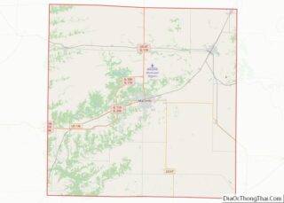
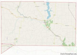
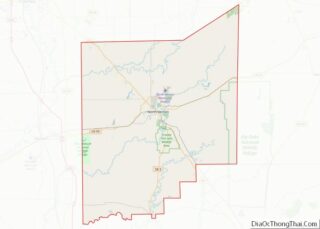
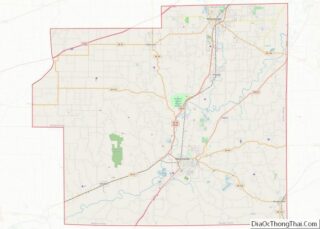
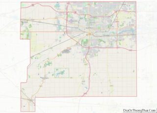
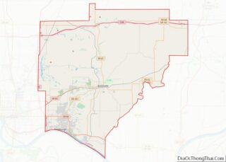
Map of Grand County

Map of Grand County, Colorado

Grand County overview: Name: Grand County FIPS code: 08-049 State: Colorado Founded: February 2, 1874 Named for: Grand Lake and Grand River Seat: Hot Sulphur Springs Largest town: Granby Total Area: 1,870 sq mi (4,800 km²) Land Area: 1,846 sq mi (4,780 km²) Total Population: 15,860 Population Density: 8.5/sq mi (3.3/km²) Time zone: UTC−7 (Mountain) Summer Time Zone (DST): UTC−6 (MDT) Website: … Read more

Map of Moffat County

Map of Moffat County, Colorado

Moffat County is a county located in the U.S. state of Colorado. As of the 2020 census, the population was 13,292. The county seat is Craig. With an area of 4,751 square miles, it is the 2nd largest county by area in Colorado, behind Las Animas County. Moffat County comprises the Craig, CO Micropolitan Statistical … Read more

Map of San Miguel County

Map of San Miguel County, Colorado

San Miguel County is a county located in the U.S. state of Colorado. As of the 2020 census, the population was 8,072. The county seat is Telluride. The county is named for the San Miguel River. San Miguel County overview: Name: San Miguel County FIPS code: 08-113 State: Colorado Founded: March 2, 1883 Named for: … Read more

Map of New Castle County

Map of New Castle County, Delaware

New Castle County is the northernmost of the three counties of the U.S. state of Delaware (New Castle, Kent, and Sussex). As of the 2020 census, the population was 570,719, making it the most populous county in Delaware, with nearly 60% of the state’s population of 989,948. The county seat is Wilmington, which is also … Read more

Map of Dixie County

Map of Dixie County, Florida

Dixie County is a county located in the Big Bend region of the northern part of the U.S. state of Florida. As of the 2020 census, the population was 16,759. Its county seat is Cross City. Dixie County overview: Name: Dixie County FIPS code: 12-029 State: Florida Founded: April 25, 1921 Named for: Dixieland Seat: … Read more

Map of Indian River County

Map of Indian River County, Florida

Indian River County (Spanish: Condado de Río Indio) is a county located in the southeastern and east-central portions of the U.S. state of Florida. As of the 2020 census, the population was 159,788. Its seat is Vero Beach. It is Florida’s 7th richest county and in 2000 was the 87th richest county in the U.S. … Read more

Map of Okaloosa County

Map of Okaloosa County, Florida

Okaloosa County is located in the northwestern portion of the U.S. state of Florida, extending from the Gulf of Mexico to the Alabama state line. As of the 2020 census, the population was 211,668. Its county seat is Crestview. Okaloosa County is included in the Crestview-Fort Walton Beach-Destin, FL Metropolitan Statistical Area. Okaloosa County overview: … Read more

Map of Taylor County

Map of Taylor County, Florida

Taylor County is a county located in the Big Bend region in the northern part of the U.S. state of Florida. As of the 2020 census, the population was 21,796. Its county seat is Perry. The county hosts the annual Florida Forest Festival and has been long known as the “Tree Capital of the South” … Read more

Map of Bibb County

Map of Bibb County, Georgia

Bibb County is located in the U.S. state of Georgia. As of the 2020 census, its population was 157,346. Bibb County is geographically located in the Central Georgia (Middle Georgia) region, and is the largest county in the Macon metropolitan area (metropolitan statistical area). Bibb County has a consolidated city-county government following a merger of … Read more

Map of Chattooga County

Map of Chattooga County, Georgia

Chattooga County is a county located in the northwestern part of the U.S. state of Georgia. As of the 2020 census, the population was 24,965. The county seat is Summerville. The county was created on December 28, 1838. Chattooga County comprises the Summerville, GA Micropolitan Statistical Area, which is included in the Rome-Summerville Combined Statistical … Read more

Map of Decatur County

Map of Decatur County, Georgia

Decatur County is a county located in the U.S. state of Georgia. As of the 2020 census, the population was 29,367. The county seat is Bainbridge. Decatur County comprises the Bainbridge, GA Micropolitan Statistical Area, which is included in the Tallahassee-Bainbridge, FL-GA Combined Statistical Area. Decatur County overview: Name: Decatur County FIPS code: 13-087 State: … Read more

Map of Franklin County

Map of Franklin County, Georgia

Franklin County is a county located in the northeastern part of the U.S. state of Georgia. As of the 2020 census, the population was 23,424. The county seat is Carnesville. On February 25, 1784, Franklin and Washington became Georgia’s eighth and ninth counties, with Franklin named in honor of patriot Benjamin Franklin. In its original … Read more