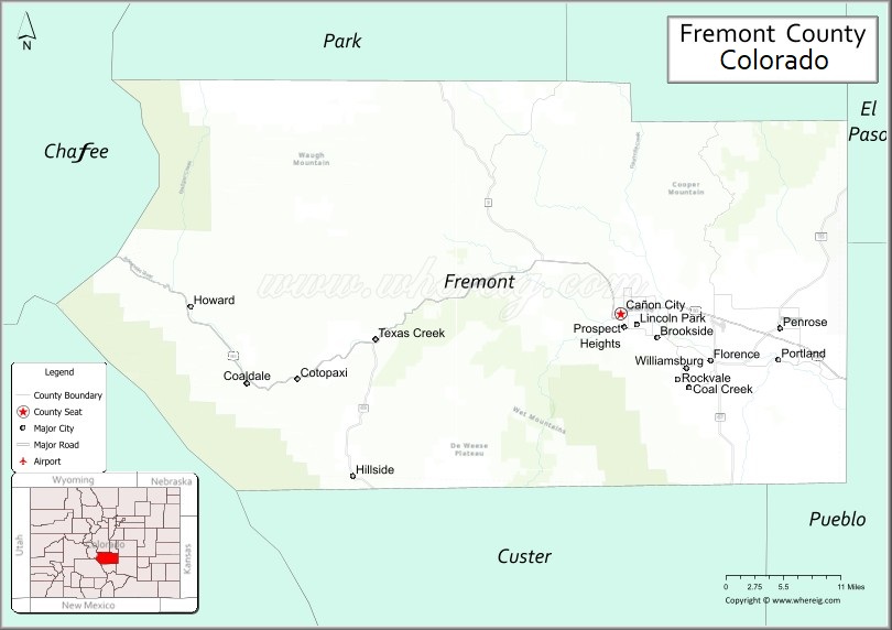
Fremont County is a county located in the U.S. state of Colorado. As of the 2020 census, the population was 48,939. The county seat is Cañon City. The county is named for 19th-century explorer and presidential candidate John C. Frémont.
Fremont County comprises the Cañon City, CO Micropolitan Statistical Area, which is also included in the Pueblo-Cañon City, CO Combined Statistical Area.
Rural Fremont County is the location of 15 prisons; most of these are operated by the state. ADX Florence, the only federal Supermax prison in the United States, is in an unincorporated area in Fremont County, south of Florence, and is part of the Federal Correctional Complex, Florence. As of March 2015, Fremont County leads the nation among all counties as the one with the largest proportion of persons incarcerated. Prisoners are counted as part of the county population in the census, and 20% of residents are held in the prisons in the county.
| Name: | Fremont County |
|---|---|
| FIPS code: | 08-043 |
| State: | Colorado |
| Founded: | November 1, 1861 |
| Named for: | John C. Frémont |
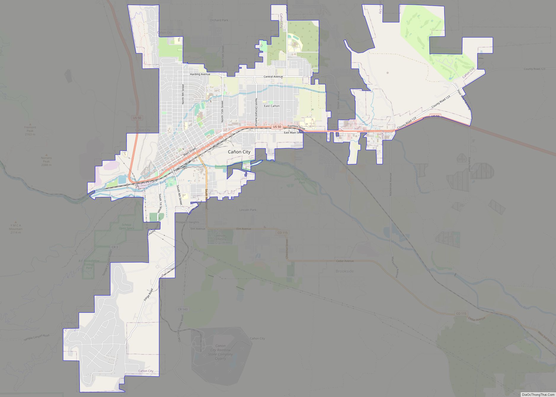
| Seat: | Cañon City |
| Largest city: | Cañon City |
| Total Area: | 1,534 sq mi (3,970 km²) |
| Land Area: | 1,533 sq mi (3,970 km²) |
| Total Population: | 49,661 |
| Population Density: | 32/sq mi (12/km²) |
| Time zone: | UTC−7 (Mountain) |
| Summer Time Zone (DST): | UTC−6 (MDT) |
| Website: | www.fremontco.com |
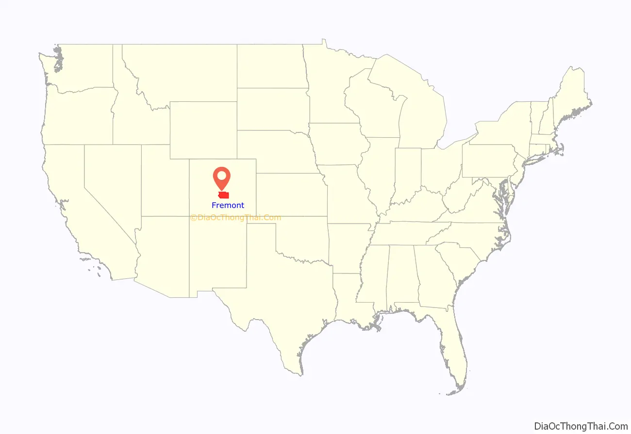
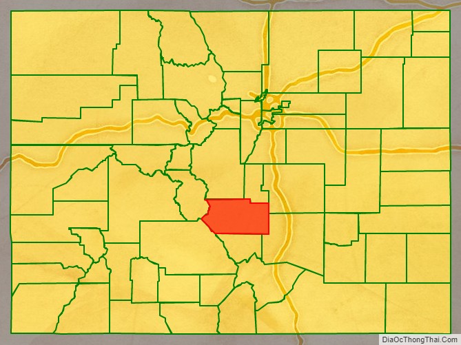
Fremont County location map. Where is Fremont County?
History
Fremont County was founded in 1861, in central Colorado. It is named for John C. Frémont.
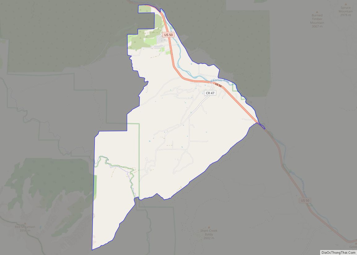
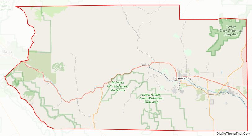
Fremont County Road Map
Geography
According to the U.S. Census Bureau, the county has a total area of 1,534 square miles (3,970 km), of which 1,533 square miles (3,970 km) is land and 0.9 square miles (2.3 km) (0.06%) is water.
Adjacent counties
- Teller County – north
- El Paso County – northeast
- Pueblo County – southeast
- Custer County – south
- Saguache County – southwest
- Chaffee County – northwest
- Park County – northwest
Major Highways
- U.S. Highway 50
- State Highway 9
- State Highway 67
- State Highway 69
- State Highway 96
- State Highway 115
- State Highway 120
National protected areas
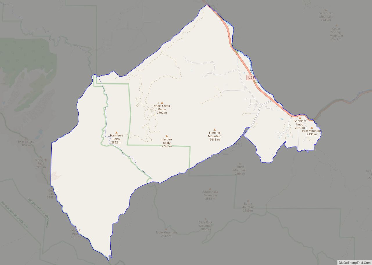
- Pike National Forest
- San Isabel National Forest
- Sangre de Cristo Wilderness
State protected area
- Arkansas Headwaters Recreation Area
National scenic byway
- Gold Belt Tour National Scenic and Historic Byway
Bicycle routes
- American Discovery Trail
- TransAmerica Trail Bicycle Route
- Western Express Bicycle Route
Major highways
- U.S. Highway 50
- State Highway 9
- State Highway 67
- State Highway 115
- State Highway 120
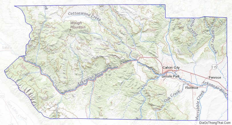
Fremont County Topographic Map
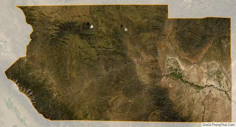
Fremont County Satellite Map
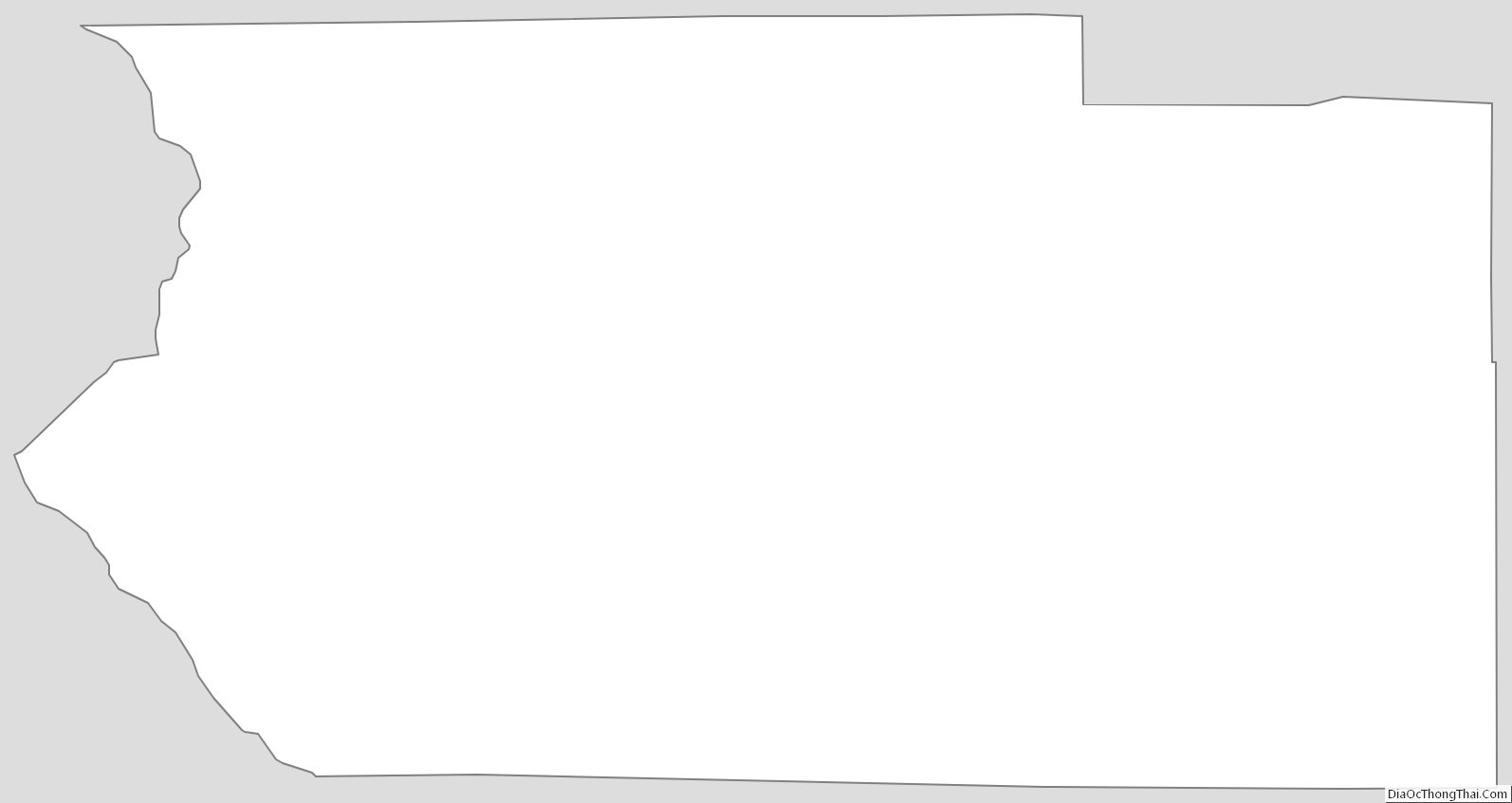
Fremont County Outline Map