| Name: | Tolland County |
|---|---|
| FIPS code: | 09-013 |
| State: | Connecticut |
| Founded: | 1785 |
| Named for: | Tolland, Somerset |
| Seat: | none (since 1960) Tolland (1785-1889) Rockville (1889-1960) |
| Largest town: | Vernon |
| Total Area: | 417 sq mi (1,080 km²) |
| Land Area: | 410 sq mi (1,100 km²) |
| Total Population: | 149,788 |
| Population Density: | 359.2/sq mi (138.7/km²) |
| Time zone: | UTC−5 (Eastern) |
| Summer Time Zone (DST): | UTC−4 (EDT) |
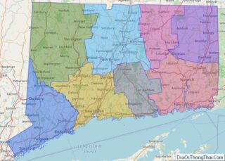
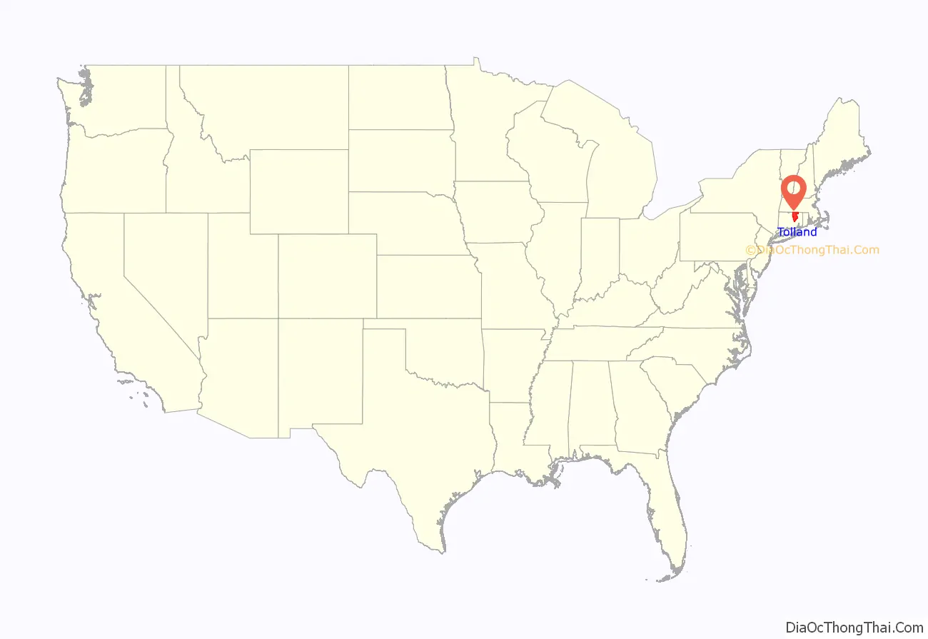
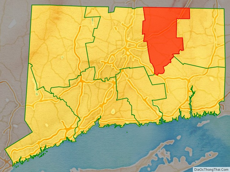
Tolland County location map. Where is Tolland County?
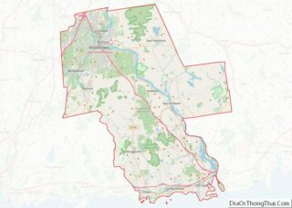
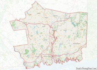
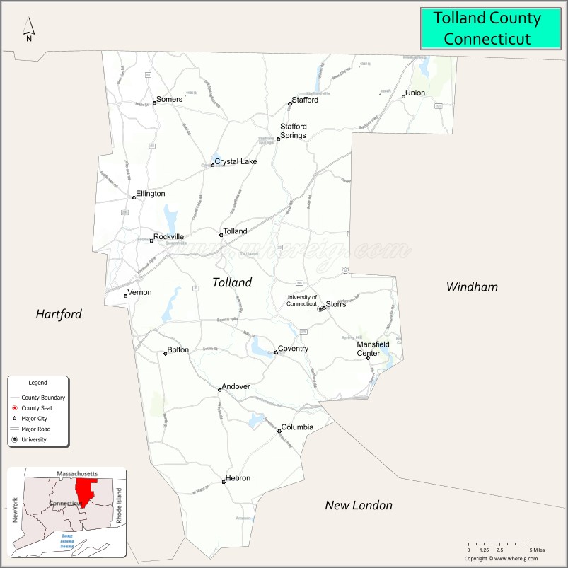
Tolland County Road Map

Geography
According to the U.S. Census Bureau, the county has a total area of 417 square miles (1,080 km), of which 410 square miles (1,100 km) is land and 6.8 square miles (18 km) (1.6%) is water. It is the second-smallest county in Connecticut by land area and smallest by total area.
Adjacent counties
- Hartford County – west
- New London County – south
- Windham County – east
- Hampden County, Massachusetts – northwest
- Worcester County, Massachusetts – northeast
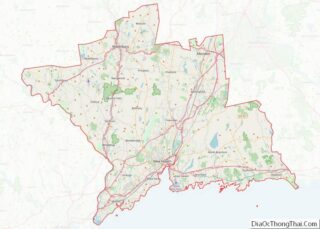
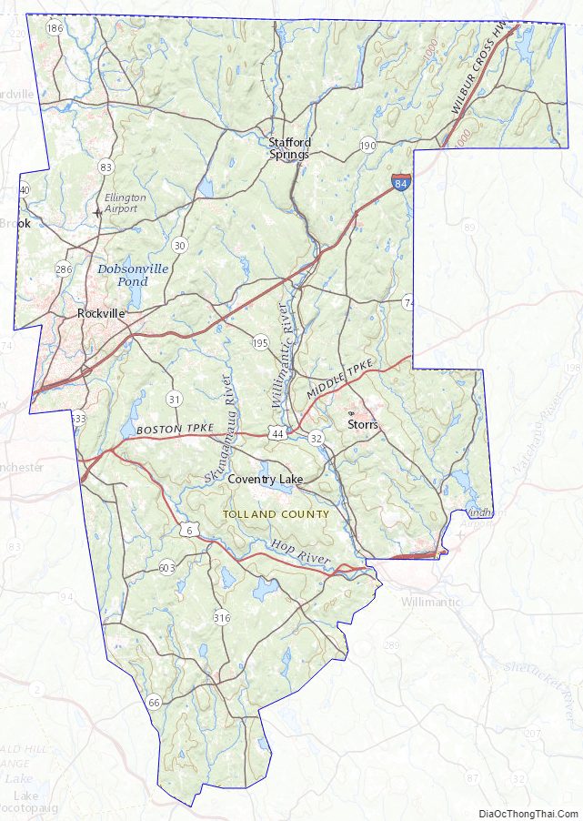
Tolland County Topographic Map
Tolland County Satellite Map

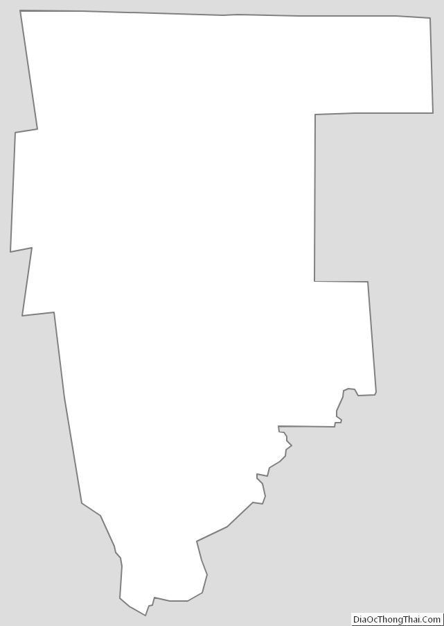
Tolland County Outline Map