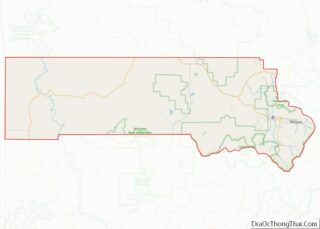
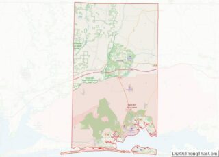
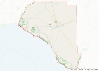
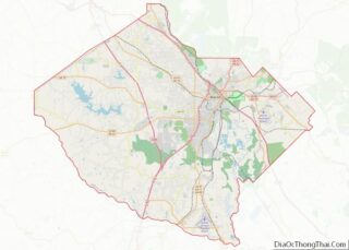
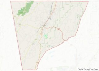
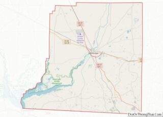
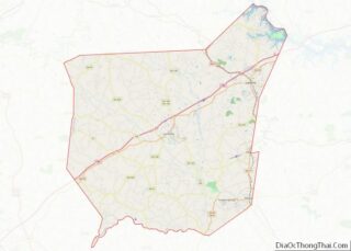
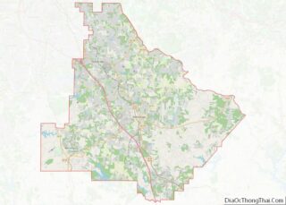
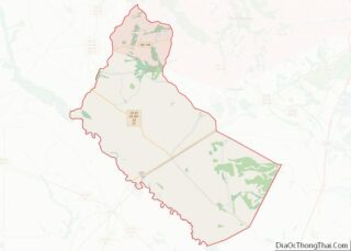
Map of Union County, New Mexico
Union County (Spanish: Condado de la Unión) is the northeasternmost county in the U.S. state of New Mexico. As of the 2010 census, the population was 4,549, making it the fourth-least populous county in New Mexico. Its county seat is Clayton. The county was formed in 1894. Union County borders Colorado to the north, and ... Read more
Map of Union County, New Mexico
Map of Erie County, New York
Erie County is a county along the shore of Lake Erie in western New York State. As of the 2020 census, the population was 954,236. The county seat is Buffalo, which makes up about 28% of the county’s population. Both the county and Lake Erie were named for the regional Iroquoian language-speaking Erie tribe of ... Read more
Map of Erie County, New York
Map of Nassau County, New York
Nassau County overview: Name: Nassau County FIPS code: 36-059 State: New York Founded: 1899 Named for: House of Nassau Seat: Mineola Largest town: Hempstead Total Area: 453 sq mi (1,170 km²) Land Area: 285 sq mi (740 km²) Total Population: 1,395,774 Population Density: 4,897.45/sq mi (1,890.92/km²) Time zone: UTC−5 (Eastern) Summer Time Zone (DST): UTC−4 (EDT) Website: www.nassaucountyny.gov Nassau County location map. ... Read more
Map of Nassau County, New York
Map of Saratoga County, New York
Saratoga County overview: Name: Saratoga County FIPS code: 36-091 State: New York Founded: 1791 Named for: Iroquois sah-rah-ka, “the hill beside the river” Seat: Ballston Spa Largest city: Saratoga Springs Total Area: 844 sq mi (2,190 km²) Land Area: 810 sq mi (2,100 km²) Total Population: 235,509 Population Density: 290.8/sq mi (112.3/km²) Time zone: UTC−5 (Eastern) Summer Time Zone (DST): UTC−4 (EDT) ... Read more
Map of Saratoga County, New York
Map of Yates County, New York
Yates County is a county in the U.S. state of New York. As of the 2020 Census, the population was 24,774, making it the third-least populous county in New York. The county seat is Penn Yan. The name is in honor of Joseph C. Yates, who as Governor of New York signed the act establishing ... Read more
Map of Yates County, New York
Map of Carteret County, North Carolina
Carteret County is located in the U.S. state of North Carolina. As of the 2020 census, the population was 67,686. Its county seat is Beaufort. The county was created in 1722 as Carteret Precinct and gained county status in 1739. It was named for Sir George Carteret, one of the 17th century English Lords Proprietor, ... Read more
Map of Carteret County, North Carolina
Map of Durham County, North Carolina
Durham County is a county located in the U.S. state of North Carolina. As of the 2020 census, the population was 324,833, making it the sixth-most populous county in North Carolina. Its county seat is Durham, which is the only incorporated municipality predominantly in the county, though very small portions of cities and towns mostly ... Read more
Map of Durham County, North Carolina
Map of Hyde County, North Carolina
Hyde County is a county located in the U.S. state of North Carolina. As of the 2020 census, the population was 4,589, making it the second-least populous county in North Carolina. Its county seat is Swan Quarter. The county was created in 1705 as Wickham Precinct. It was renamed Hyde Precinct in 1712 and gained ... Read more
Map of Hyde County, North Carolina
Map of Nash County, North Carolina
Nash County is a county located in the U.S. state of North Carolina. As of the 2020 census, the population was 94,970. Its county seat is Nashville. Nash County is now a part of the Rocky Mount, NC Metropolitan Statistical Area, instead of the Raleigh, NC Metropolitan Statistical Area. Nash County overview: Name: Nash County ... Read more
Map of Nash County, North Carolina
Map of Rowan County, North Carolina
Rowan County is a county in the U.S. state of North Carolina that was formed in 1753, as part of the British Province of North Carolina. It was originally a vast territory with unlimited western boundaries, but its size was reduced to 524 sq mi after several counties were formed from Rowan County in the ... Read more
Map of Rowan County, North Carolina
Map of Wayne County, North Carolina
Wayne County is a county located in the U.S. state of North Carolina. As of the 2020 census, the population was 117,333. Its county seat is Goldsboro and it is home to Seymour Johnson Air Force Base. Wayne County comprises the Goldsboro, NC Metropolitan Statistical Area. Wayne County overview: Name: Wayne County FIPS code: 37-191 ... Read more
Map of Wayne County, North Carolina
Map of Divide County, North Dakota
Divide County is a county in the U.S. state of North Dakota. As of the 2020 census, the population was 2,195. Its county seat is Crosby. Divide County overview: Name: Divide County FIPS code: 38-023 State: North Dakota Founded: 1910 Seat: Crosby Largest city: Crosby Total Area: 1,294 sq mi (3,350 km²) Land Area: 1,261 sq mi (3,270 km²) Total Population: ... Read more
Map of Divide County, North Dakota