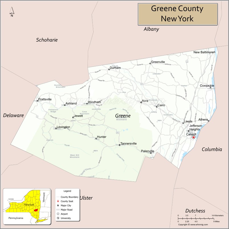
Greene County is a county located in the U.S. state of New York. As of the 2020 census, the population was 47,931. Its county seat is Catskill. The county’s name is in honor of the American Revolutionary War general Nathanael Greene.
| Name: | Greene County |
|---|---|
| FIPS code: | 36-039 |
| State: | New York |
| Founded: | March 3, 1800 |
| Named for: | Nathanael Greene |
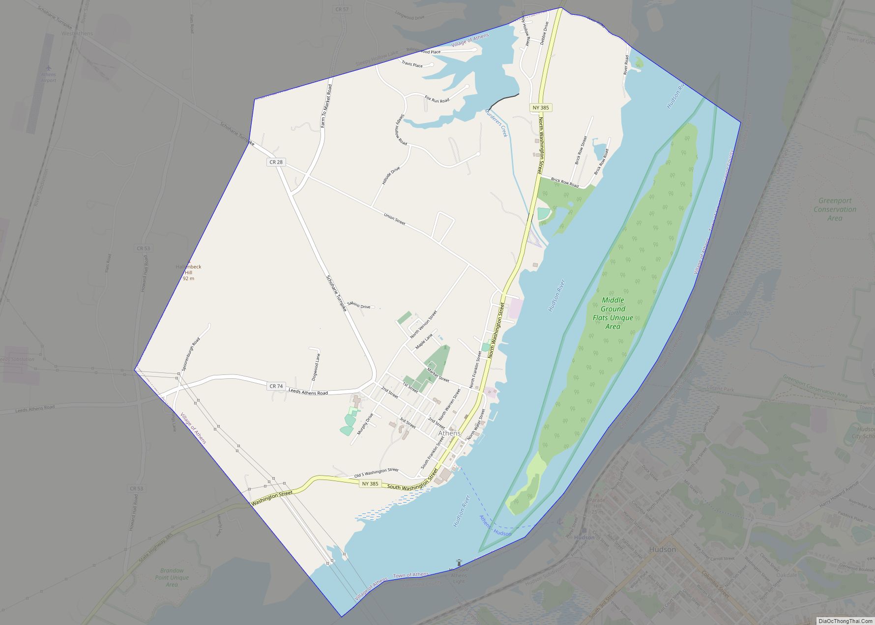
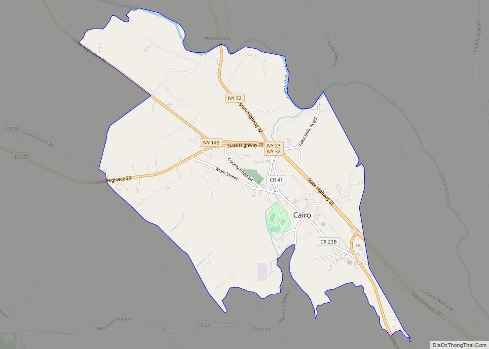
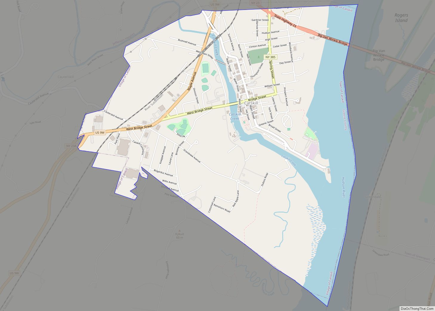
| Seat: | Catskill |
| Total Area: | 658 sq mi (1,700 km²) |
| Land Area: | 647 sq mi (1,680 km²) |
| Total Population: | 47,931 |
| Population Density: | 74.1/sq mi (28.6/km²) |
| Time zone: | UTC−5 (Eastern) |
| Summer Time Zone (DST): | UTC−4 (EDT) |
| Website: | www.greenegovernment.com |
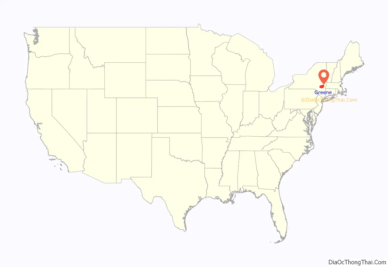
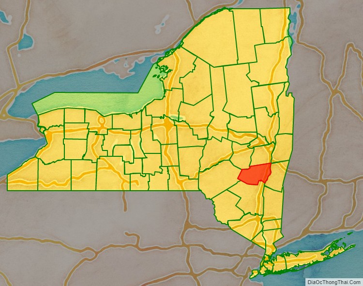
Greene County location map. Where is Greene County?
History
On March 25, 1800, Greene County was created by the partitioning of Albany (360 Square Miles) and Ulster (270 Square Miles) counties, producing a county of 630 square miles (1,600 km).
On April 3, 1801, 90 square miles (230 km) of land was transferred from Delaware and Ulster counties, raising the total area to 720 square miles (1,900 km). This transferred Prattsville, Vly Mountain, Halcott Center, Bushnellsville, Highmount, Shandaken, Lanesville, and Pine Hill within Greene County.
On May 26, 1812, Greene County lost 20 square miles (52 km) to Ulster County, lowering the total area to 690 square miles (1,800 km), reassigning Pine Hill, Highmount, and Shandaken to Ulster County.
On April 15, 1814, the county borders were re-surveyed, and the line adjusted with no change in area.
On April 17, 1822, the border was again surveyed, with no change in area, but Palenville was found to be inside Greene County.
On April 23, 1823, the border was again resurveyed, and the Hudson River border with Columbia County realigned accordingly.
On March 3, 1836, 30 square miles (78 km) of area was lost to Schoharie County, reducing the total area to 660 square miles (1,700 km), and reassigning Manorkill, producing the Greene County that exists today.
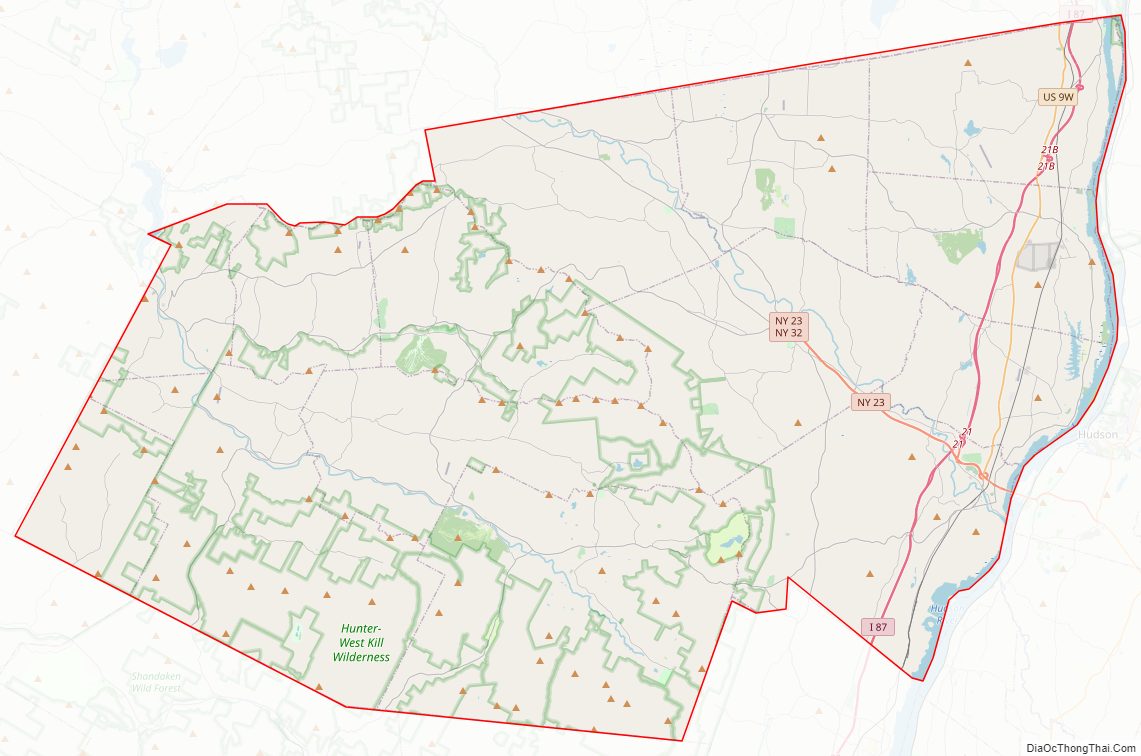
Greene County Road Map
Geography
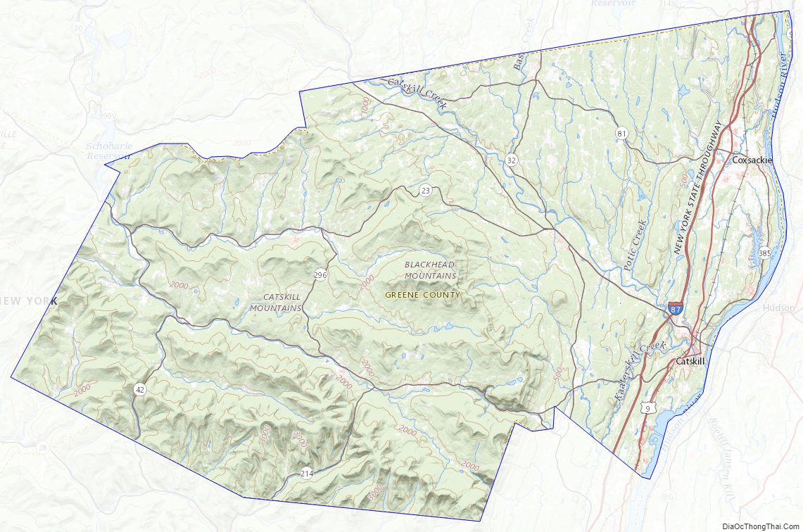
According to the U.S. Census Bureau, the county has a total area of 658 square miles (1,700 km), of which 647 square miles (1,680 km) is land and 11 square miles (28 km) (1.7%) is water. Greene County is located in southeast central New York State, just west of the Hudson River and south of Albany.
The northern and eastern regions are mostly low-lying flatlands. Along the Hudson River the lowest elevation is at sea level. The southern and western areas rise sharply into the Catskill Mountains.
Catskill Park takes up much of the south central region. The park contains some of the tallest peaks south of the Adirondacks. For example, the highest elevation is Hunter Mountain, at approximately 4,040 feet (1,232 m) above sea level; In addition, there are many picturesque waterfalls in the park such as the famed, Kaaterskill Falls.
The entirety of Greene County is in the 19th Congressional District, and is represented by Republican Marc Molinaro.
Adjacent counties
- Albany County – north
- Rensselaer County – northeast
- Columbia County – east
- Ulster County – south
- Delaware County – west
- Schoharie County – northwest
National protected area
- Thomas Cole National Historic Site
Greene County Topographic Map
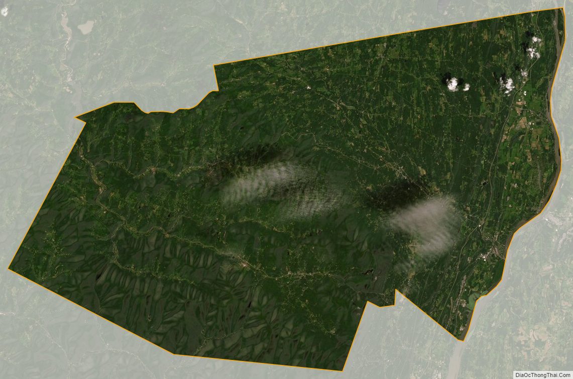
Greene County Satellite Map
Greene County Outline Map