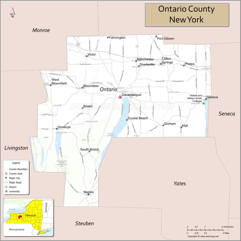
Ontario County is a county in the U.S. State of New York. As of the 2020 census, the population was 112,458. The county seat is Canandaigua.
Ontario County is part of the Rochester, NY Metropolitan Statistical Area.
In 2006, Progressive Farmer rated Ontario County as the “Best Place to Live” in the U.S., for its “great schools, low crime, excellent health care” and its proximity to Rochester.
| Name: | Ontario County |
|---|---|
| FIPS code: | 36-069 |
| State: | New York |
| Founded: | 1789 |
| Named for: | Lake Ontario |
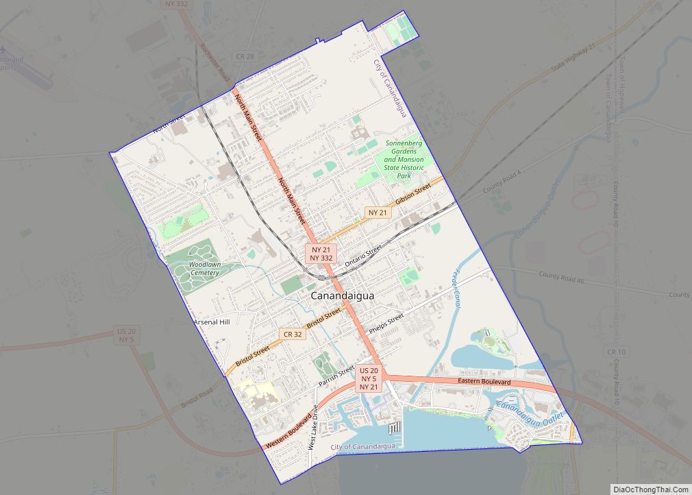
| Seat: | Canandaigua |
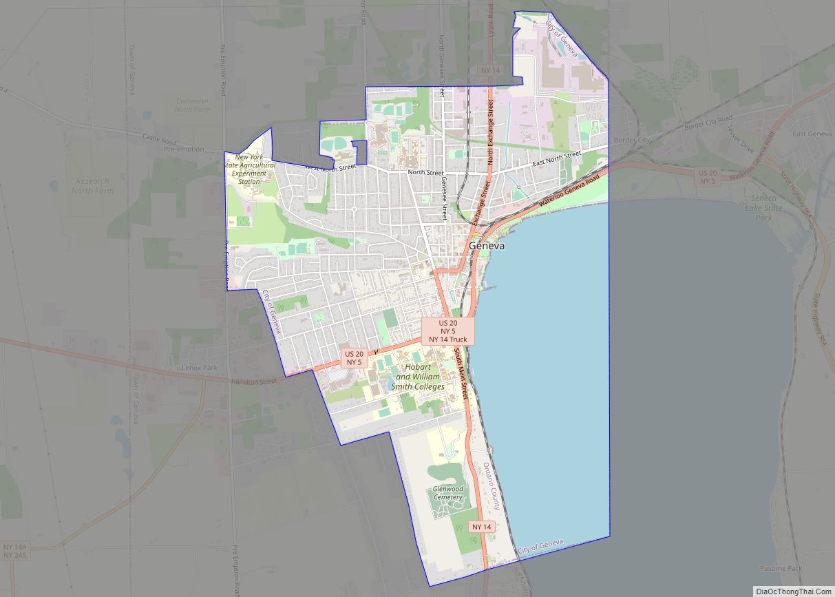
| Largest city: | Geneva |
| Total Area: | 663 sq mi (1,720 km²) |
| Land Area: | 644 sq mi (1,670 km²) |
| Total Population: | 112,458 |
| Population Density: | 169/sq mi (65/km²) |
| Time zone: | UTC−5 (Eastern) |
| Summer Time Zone (DST): | UTC−4 (EDT) |
| Website: | www.ontariocountyny.gov |
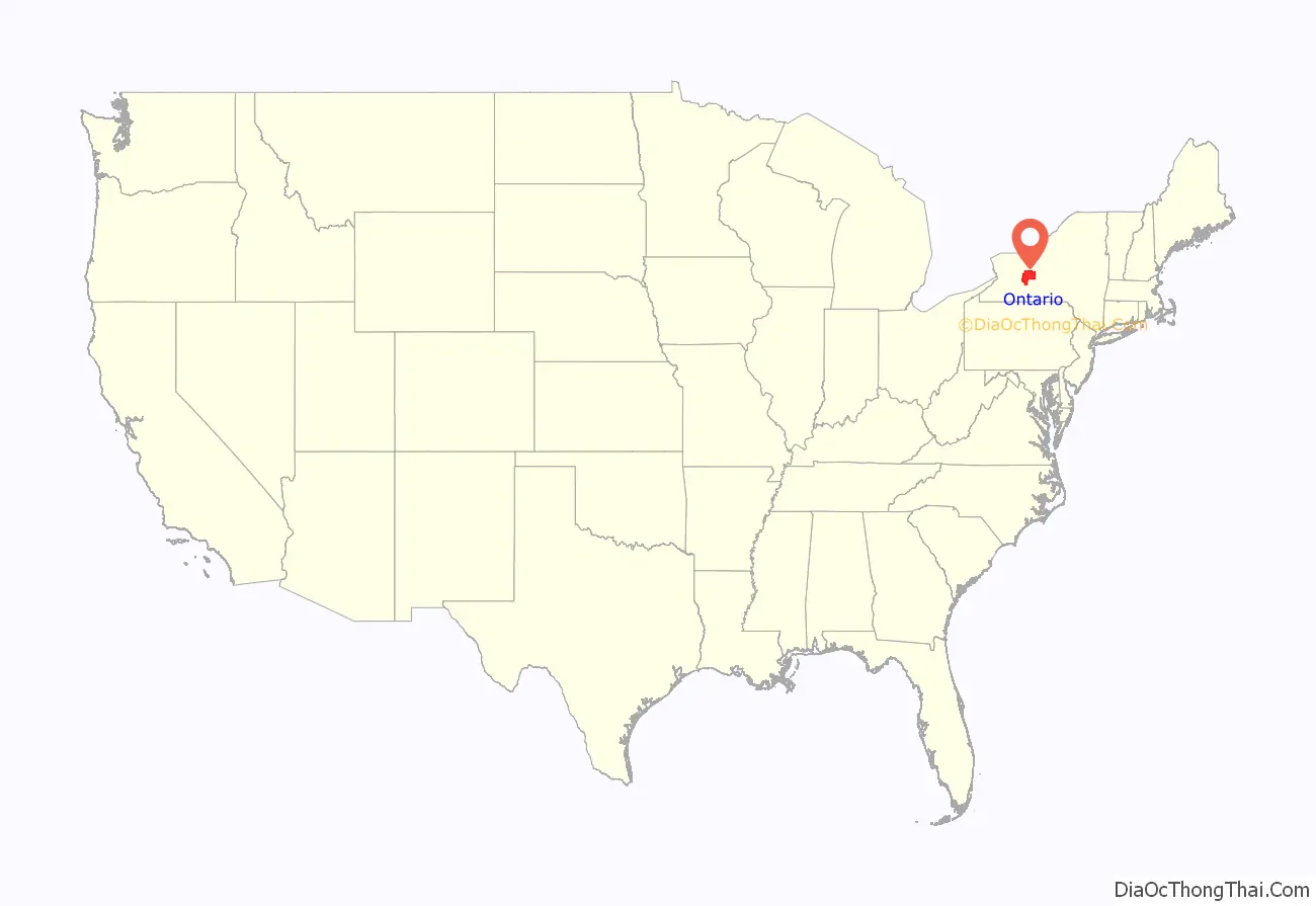
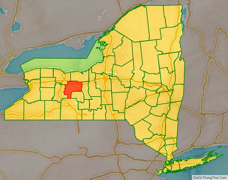
Ontario County location map. Where is Ontario County?
History
This area was long controlled by the Seneca people, one of the Five Nations of the Iroquois Confederacy, or Haudenosaunee. They were forced to cede most of their land to the United States after the American Revolutionary War.
When the English established counties in New York Province in 1683, they designated Albany County as including all the northern part of New York State, the present State of Vermont, and, in theory, extending westward to the Pacific Ocean. On July 3, 1766 Cumberland County was organized, and on March 16, 1770 Gloucester County was founded, both containing territory now included in the state of Vermont. The English claims were their assertion; the Five and then Six Nations of the Iroquois occupied and controlled most of the territory in central and western New York until after the Revolutionary War.
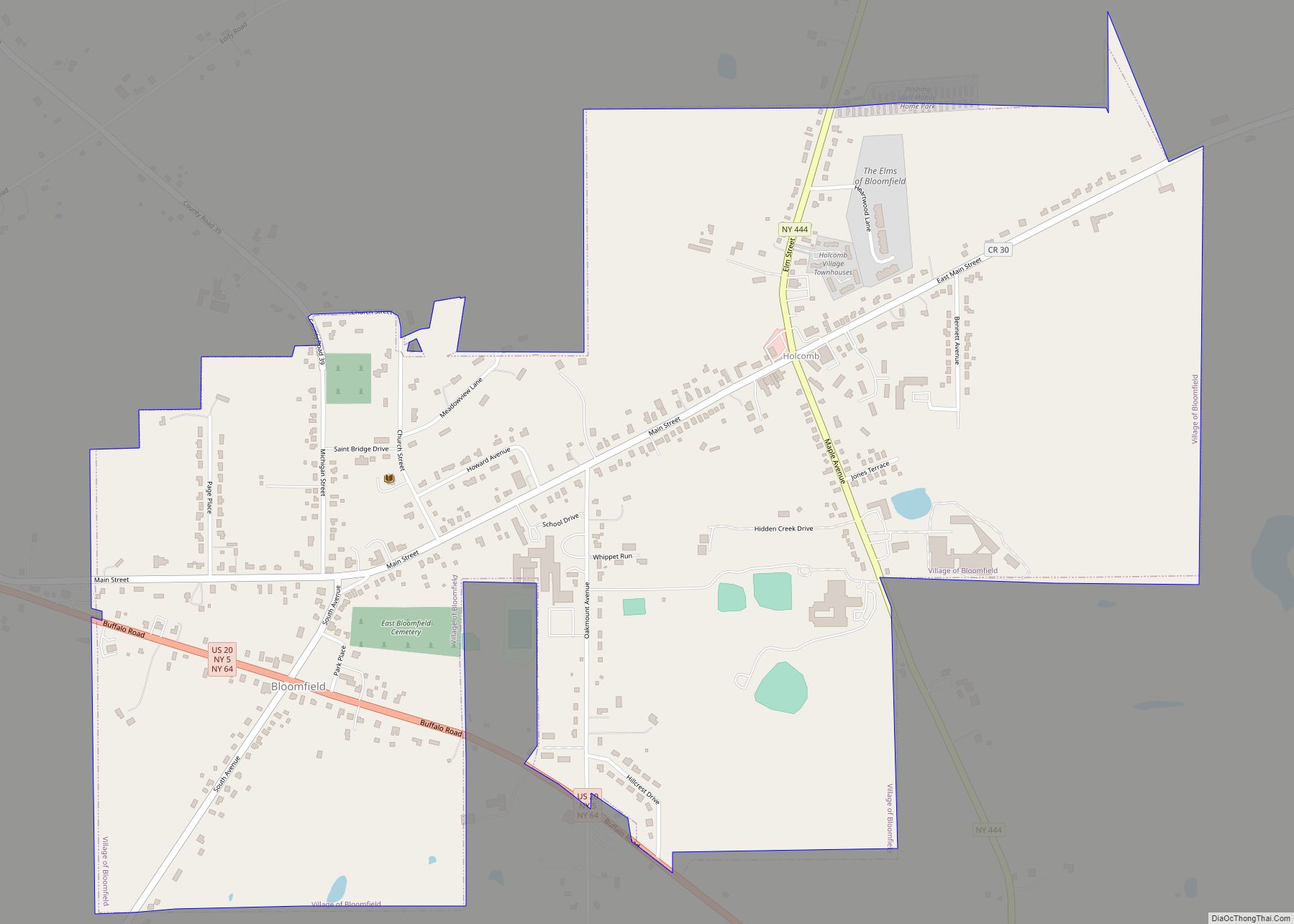
As New York was more heavily settled in the 18th century, the colonial government organized additional counties, but European settlement did not proceed very far west past Little Falls, New York, about halfway through the Mohawk Valley, until after the revolutionary war. This area was ostensibly part of Montgomery County, renamed after the war for an American officer. Seth Read, a Colonel in the Battle of Bunker Hill, moved here with his family as a pioneer between 1787 and 1795. See also Geneva (town), New York.
Land-hungry settlers from New England swept into upstate and western New York after the Revolution, as nearly five million acres of new lands were available for purchase since the Iroquois were forced to cede most of their territories to the United States. Four tribes had allied with the British and were mostly resettled in Canada: the Mohawk, Onondaga, Seneca and Cayuga.
Transfer of what is now Ontario County to New York formally took effect in 1789, when native title was extinguished, and the county was formally established to govern the lands of the Phelps and Gorham Purchase the year prior. The territory first organized as Ontario County was much larger than at present and ran south from the shore of Lake Ontario. As the area was settled, new counties were organized. The following counties were rapidly organized from this territory in the first decades after the war: Allegany, Cattaraugus, Chautauqua, Erie, Genesee, Livingston, Monroe, Niagara, Orleans, Steuben, Wyoming, and Yates counties, and parts of Schuyler and Wayne counties.
In 1796, Ontario County was divided and Steuben County was organized. In 1802, Ontario County was reduced when Genesee County was split off. The new county was originally very large, including the present Allegany, Cattaraugus, Chautauqua, Erie, Niagara, Orleans and Wyoming Counties and parts of Livingston and Monroe counties.
In 1821, portions of Genesee County were combined with portions of Ontario County to create Livingston and Monroe counties.
In 1823, a portion of Seneca County was combined with a portion of Ontario County to create Wayne County. The same year, a portion of Steuben County was combined with a portion of Ontario County to create Yates County.
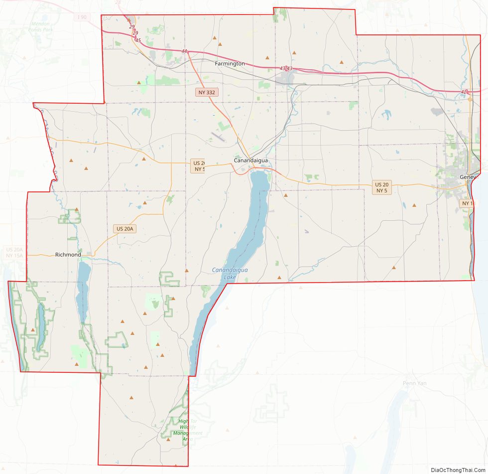
Ontario County Road Map
Geography
According to the U.S. Census Bureau, the county has a total area of 663 square miles (1,720 km), of which 644 square miles (1,670 km) is land and 18 square miles (47 km) (2.8%) is water.
Ontario County is in western New York State, east of Buffalo, southeast of Rochester, and northwest of Ithaca. The county is within the Finger Lakes Region of the state.
Adjacent counties
- Wayne County – north
- Seneca County – east
- Yates County – south
- Steuben County – southwest
- Livingston County – west
- Monroe County – northwest
Major highways
- Interstate 90 (New York State Thruway)
- Interstate 490
- U.S. Route 20
- U.S. Route 20A
- New York State Route 5
- New York State Route 14
- New York State Route 14A
- New York State Route 15A
- New York State Route 21
- New York State Route 31
- New York State Route 53
- New York State Route 64
- New York State Route 65
- New York State Route 88
- New York State Route 96
- New York State Route 245
- New York State Route 247
- New York State Route 251
- New York State Route 318
- New York State Route 332
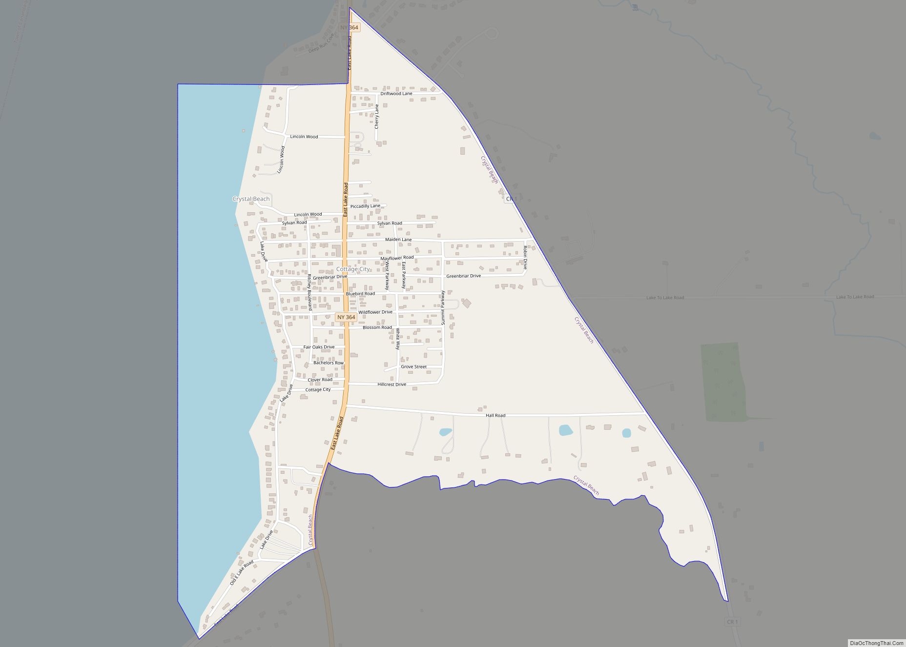
- New York State Route 364
- New York State Route 444
- New York State Route 488
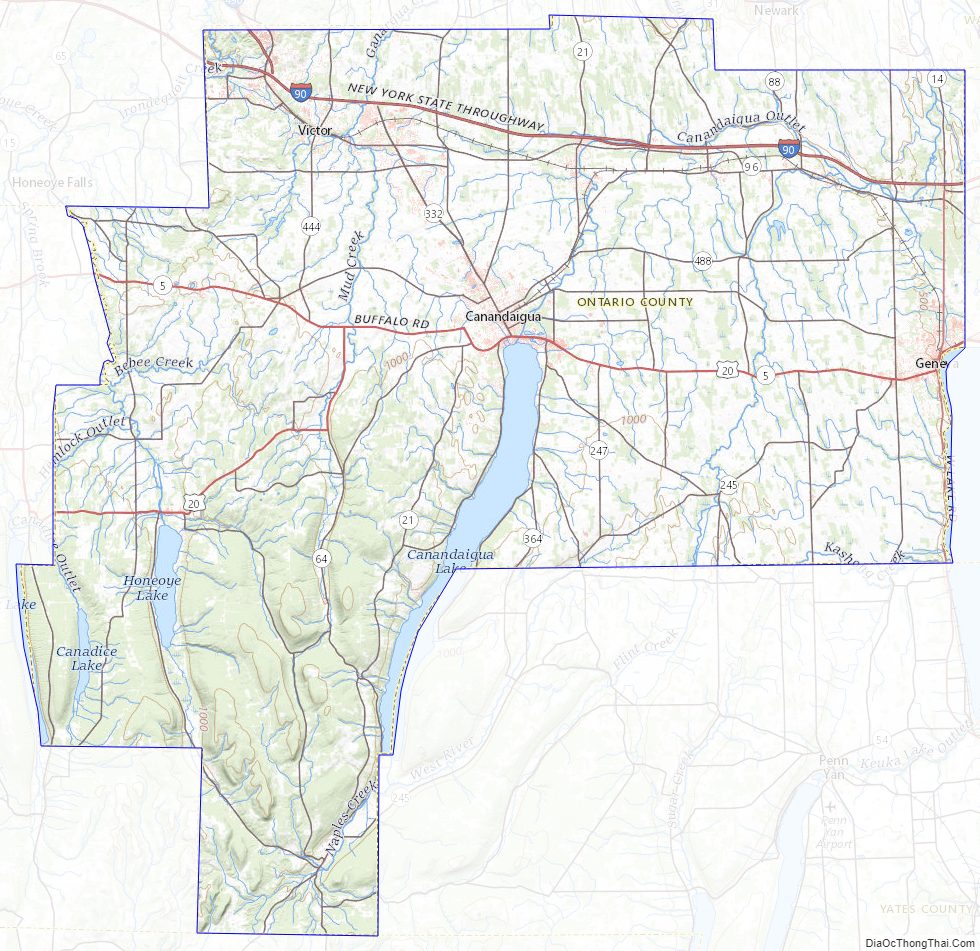
Ontario County Topographic Map
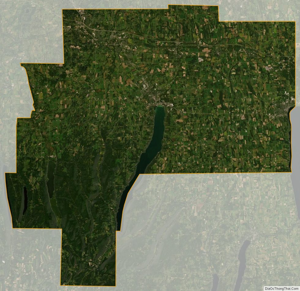
Ontario County Satellite Map
Ontario County Outline Map