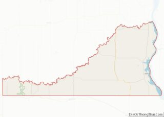
Sioux County is a county located along the southern border of the U.S. state of North Dakota. As of the 2020 census, the population was 3,898. Its eastern border is the Missouri River and its county seat is Fort Yates. Sioux County overview: Name: Sioux County FIPS code: 38-085 State: North Dakota Founded: 1915 Named ... Read more
Map of US Counties
Auglaize County (/ˈɔːɡleɪz/) is a county in Northwestern Ohio, United States. As of the 2020 census, the population was 46,442. Its county seat and largest city is Wapakoneta. Auglaize County comprises the Wapakoneta Micropolitan Statistical Area, which is also included in the Lima–Van Wert–Celina Combined Statistical Area. Auglaize County overview: Name: Auglaize County FIPS code: ... Read more
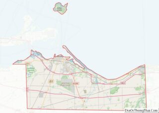
Erie County is a county located in the northern portion of the U.S. state of Ohio. As of the 2020 census, the population was 75,622. Its county seat and largest city is Sandusky. The county is named for the Erie tribe, whose name was their word for “wildcat”. It was formed in 1838 from the ... Read more
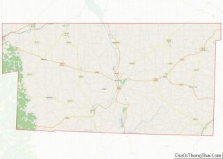
Holmes County is a county located in the U.S. state of Ohio. As of the 2020 census, the population was 44,223. Its county seat is Millersburg. The county was formed in 1824 from portions of Coshocton, Tuscarawas and Wayne counties and organized the following year. It was named after Andrew Holmes, an officer killed in ... Read more
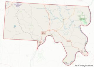
Meigs County (/ˈmɛɡz/ MEGZ) is a county located in the U.S. state of Ohio. As of the 2020 census, the population was 22,210. Its county seat is Pomeroy. The county is named for Return J. Meigs Jr., the fourth Governor of Ohio. Meigs County overview: Name: Meigs County FIPS code: 39-105 State: Ohio Founded: April ... Read more
Putnam County is a county located in the northwestern part of the U.S. state of Ohio. As of the 2020 census, the population was 34,451. Its county seat is Ottawa. The county was created in 1820 and later organized in 1834. Its name is in honor of Israel Putnam, a colonial hero in the French ... Read more
Wayne County is a county in the U.S. state of Ohio. As of the 2020 census, the population was 116,894. Its county seat is Wooster. The county is named for General “Mad” Anthony Wayne. Wayne County comprises the Wooster, OH Micropolitan Statistical Area. Wayne County overview: Name: Wayne County FIPS code: 39-169 State: Ohio Founded: ... Read more
Cimarron County is the westernmost county in the U.S. state of Oklahoma. Its county seat is Boise City. As of the 2020 census, its population was 2,296, making it the least-populous county in Oklahoma; and indeed, throughout most of its history, it has had both the smallest population and the lowest population density of any ... Read more
Harmon County is a county in the southwest corner of the U.S. state of Oklahoma. As of the 2010 Census, the population was 2,922, making it the second-least populous county in Oklahoma, behind only Cimarron County. It has lost population in every census since 1930. The county seat is Hollis. Harmon County overview: Name: Harmon ... Read more
Marshall County is a county located on the south central border of Oklahoma. As of the 2010 census, the population was 15,840. Its county seat is Madill. The county was created at statehood in 1907 from the former Pickens County of the Chickasaw Nation. It was named to honor the maiden name of the mother ... Read more
Pittsburg County is a county located in the U.S. state of Oklahoma. As of the 2010 census, the population was 45,837. Its county seat is McAlester. The county was formed from part of the Choctaw Nation in Indian Territory in 1907. County leaders believed that its coal production compared favorably with Pittsburgh, Pennsylvania at the ... Read more
Woodward County is a county located in the U.S. state of Oklahoma. As of the 2010 census, the population was 20,081. Its county seat is Woodward. Woodward County comprises the Woodward, OK Micropolitan Statistical Area. Woodward County was originally known as “N” County and was composed of present-day Woodward County and portions of Harper, Ellis, ... Read more
