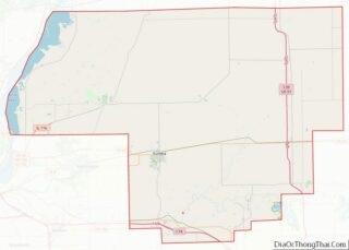
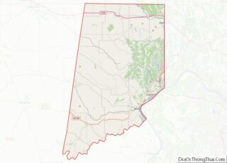
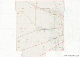
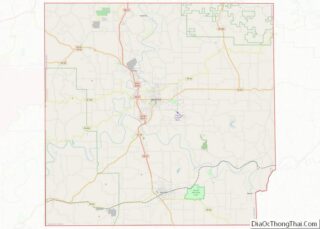
Map of Sweetwater County, Wyoming
Sweetwater County is a county in southwestern Wyoming, United States. As of the 2020 United States Census, the population was 42,272, making it the fourth-most populous county in Wyoming. Its county seat is Green River. By area, it is the largest county in Wyoming. Its southern boundary line abuts the north lines of the states ... Read more
Map of Sweetwater County, Wyoming
Map of Chambers County, Alabama
Chambers County is a county located in the east central portion of the U.S. state of Alabama. As of the 2020 census the population was 34,772. Its county seat is LaFayette. Its largest city is Valley. Its name is in honor of Henry H. Chambers, who served as a United States Senator from Alabama. Chambers ... Read more
Map of Chambers County, Alabama
Map of DeKalb County, Alabama
DeKalb County is a county located in the northeastern part of the U.S. state of Alabama. As of the 2020 census, the population was 71,608. Its county seat is Fort Payne, and it is named after Major General Baron Johan DeKalb. DeKalb County is part of the Huntsville-Decatur-Albertville, AL Combined Statistical Area. DeKalb County overview: ... Read more
Map of DeKalb County, Alabama
Map of Lee County, Alabama
Lee County is a county located in east central Alabama. As of the 2020 census the population was 174,241. The county seat is Opelika, and the largest city is Auburn. The county was established in 1866 and is named for General Robert E. Lee (1807–1870), who served as General in Chief of the Armies of ... Read more
Map of Lee County, Alabama
Map of Russell County, Alabama
Russell County is a county in the southeastern part of the U.S. state of Alabama. As of the 2020 census, the population was 59,183. Its county seat is Phenix City. Its name is in honor of Colonel Gilbert C. Russell, who fought in the wars against the Creek Indians. Russell County is part of the ... Read more
Map of Russell County, Alabama
Map of Denali Borough, Alaska
The Denali Borough is a borough located in the U.S. state of Alaska. As of the 2020 census the population of the borough was 1,619, down from 1,826 in 2010. The borough seat and most populated community is Healy, and its only incorporated place is Anderson. The borough was incorporated in December 1990. The area ... Read more
Map of Denali Borough, Alaska
Map of Southeast Fairbanks Census Area, Alaska
Southeast Fairbanks Census Area is a census area located in the U.S. state of Alaska. As of the 2020 census, the population was 6,808, down from 7,029 in 2010. It is part of the unorganized borough and therefore has no borough seat. Its largest communities are Deltana and Tok, both unincorporated CDPs. Southeast Fairbanks Census ... Read more
Map of Southeast Fairbanks Census Area, Alaska
Map of Pinal County, Arizona
Pinal County is in the central part of the U.S. state of Arizona. According to the 2020 census, the population of the county was 425,264, making it Arizona’s third-most populous county. The county seat is Florence. The county was founded in 1875. Pinal County contains parts of the Tohono Oʼodham Nation, the Gila River Indian ... Read more
Map of Pinal County, Arizona
Map of Cleveland County, Arkansas
Cleveland County (formerly Dorsey County) is a county located in the U.S. state of Arkansas. Its population was 7,550 at the 2020 U.S. census. The county seat and largest city is Rison. Cleveland County is included in the Pine Bluff, AR Metropolitan Statistical Area, which is also included in the Little Rock–North Little Rock, AR ... Read more
Map of Cleveland County, Arkansas
Map of Hempstead County, Arkansas
Hempstead County is a county located in the U.S. state of Arkansas. As of the 2020 census, the population was 20,065, down from 22,609 at the 2010 census. The county seat is Hope. Hempstead County is Arkansas’s fourth county, formed on December 15, 1818, alongside Clark and Pulaski counties. The county is named for Edward ... Read more
Map of Hempstead County, Arkansas
Map of Marion County, Arkansas
Marion County is located in the Ozark Mountains in the U.S. state of Arkansas. The county is named for Francis Marion, the famous “Swamp Fox” of the Revolutionary War. Created as Arkansas’s 35th county in 1836, Marion County is home to one incorporated town and four incorporated cities, including Yellville, the county seat. The county ... Read more
Map of Marion County, Arkansas
Map of Randolph County, Arkansas
Randolph County is located between the Ozark Mountains and Arkansas Delta in the U.S. state of Arkansas. The county is named for John Randolph, a U.S. senator from Virginia influential in obtaining congressional approval of the Louisiana Purchase, which includes today’s Randolph County. Created as Arkansas’s 32nd county on October 29, 1835, Randolph County has ... Read more
Map of Randolph County, Arkansas