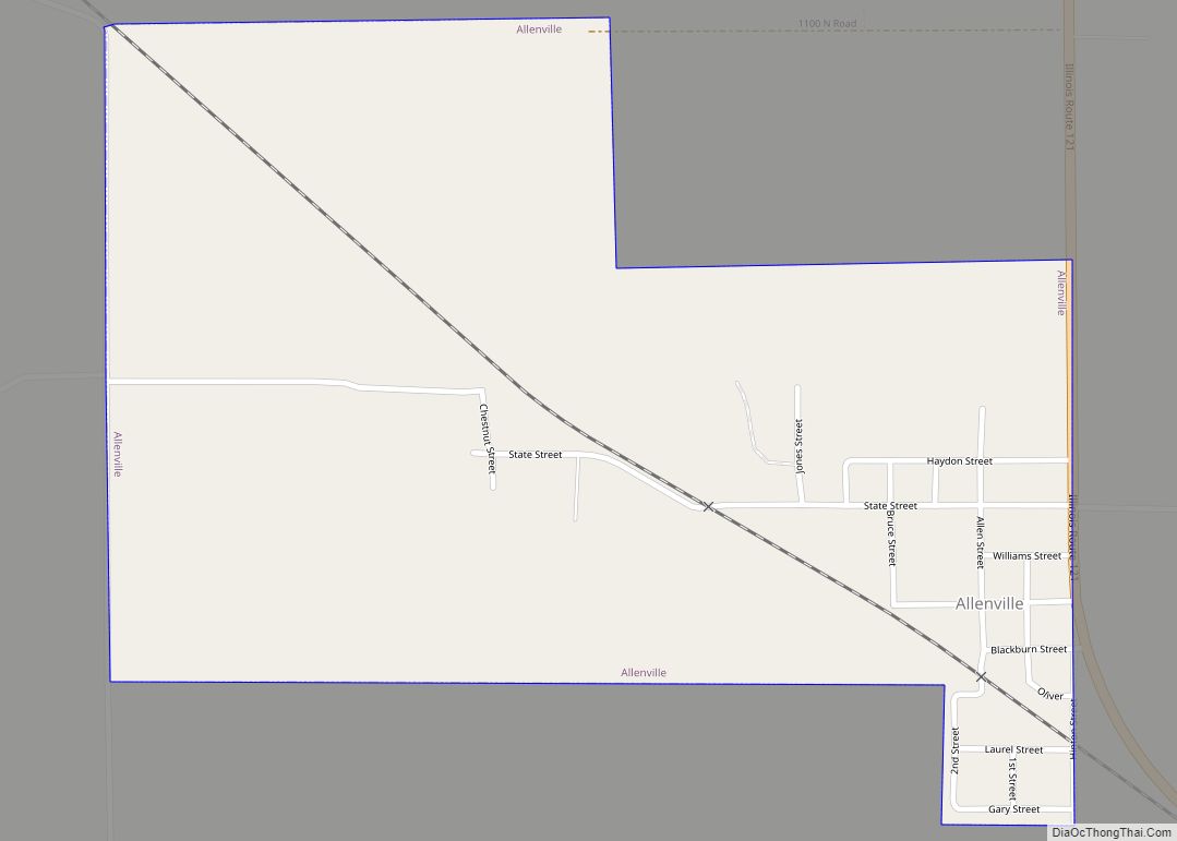
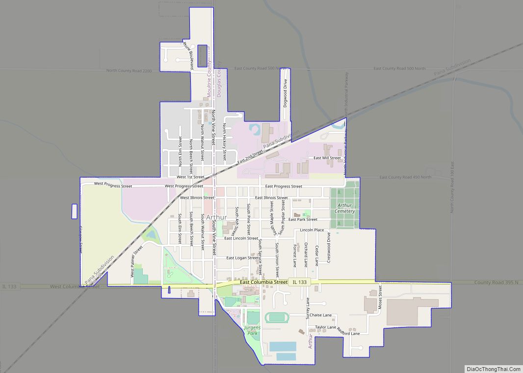
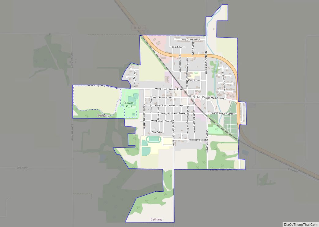
Moultrie County is a county in the U.S. state of Illinois. According to the 2020 United States Census, its population was 14,526. Its county seat is Sullivan. The name is pronounced as in “mole tree”, unlike the pronunciation of its namesake, the South Carolinian Revolutionary War hero William Moultrie.
| Name: | Moultrie County |
|---|---|
| FIPS code: | 17-139 |
| State: | Illinois |
| Founded: | 1843 |
| Named for: | William Moultrie |
| Seat: | Sullivan |
| Largest city: | Sullivan |
| Total Area: | 344 sq mi (890 km²) |
| Land Area: | 336 sq mi (870 km²) |
| Total Population: | 14,526 |
| Population Density: | 42/sq mi (16/km²) |
| Time zone: | UTC−6 (Central) |
| Summer Time Zone (DST): | UTC−5 (CDT) |
| Website: | www.moultriecountyil.com |
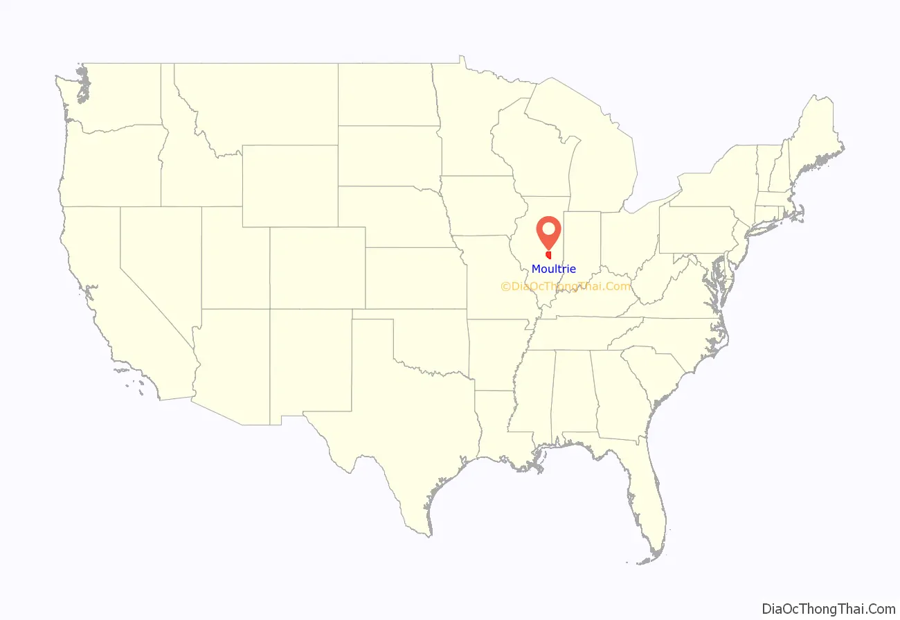
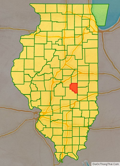
Moultrie County location map. Where is Moultrie County?
History
Moultrie County was formed in 1843 with areas taken from Shelby and Macon counties. It is named for South Carolina General, and later Governor, William Moultrie. General Moultrie defended Sullivan’s Island, South Carolina from British attack in 1776. The site was later renamed Fort Moultrie. Nearby Jasper County was named for Sgt. William Jasper, another hero of the defense of Sullivan’s Island.
The official flag of the county is the Moultrie Flag, which was flown over the new fortress on Sullivan’s Island, when Moultrie defended it, and was designed by Moultrie. It went on to become iconic of liberty in the South.
When Abraham Kellar of Lovington, John Cook of Marrowbone, and John Fleming of Nelson proposed the formation of a new county from Macon, Shelby, and Coles counties, Macon gave up a strip of “worthless swamp” that is now among the most fertile land in the world, but Shelby and Coles voters refused to give up any land. Finally, Shelby County gave up some of its land to make a zig-zag border with Moultrie County.
Moultrie County at the time of its creation in 1843
The Moultrie Flag being raised by Sergeant William Jasper
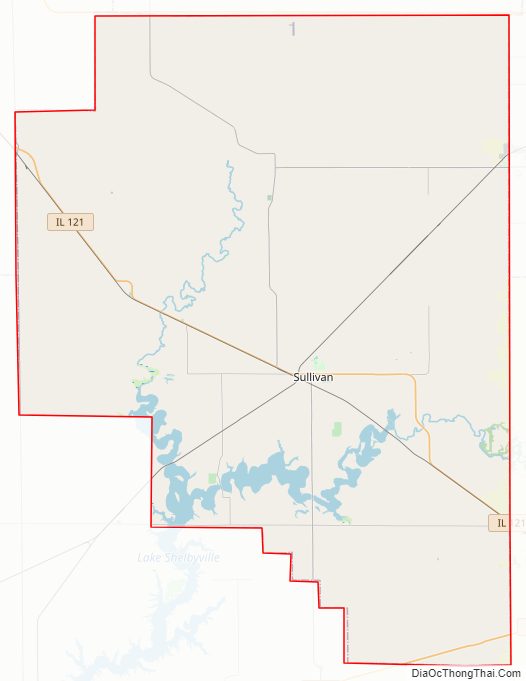
Moultrie County Road Map
Geography
According to the US Census Bureau, the county has a total area of 344 square miles (890 km), of which 336 square miles (870 km) is land and 8.5 square miles (22 km) (2.5%) is water.
Climate and weather
In recent years, average temperatures in the county seat of Sullivan have ranged from a low of 19 °F (−7 °C) in January to a high of 87 °F (31 °C) in July, although a record low of −26 °F (−32 °C) was recorded in January 1915 and a record high of 111 °F (44 °C) was recorded in July 1936. Average monthly precipitation ranged from 1.89 inches (48 mm) in February to 4.05 inches (103 mm) in June.
Major highways
- U.S. Route 36
- Illinois Route 16
- Illinois Route 32
- Illinois Route 121
- Illinois Route 133
Adjacent counties
- Piatt County – north
- Douglas County – east
- Coles County – southeast
- Shelby County – south
- Macon County – northwest
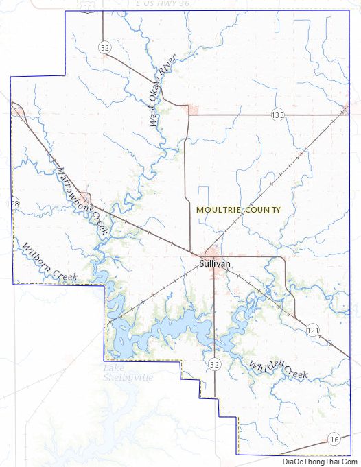
Moultrie County Topographic Map
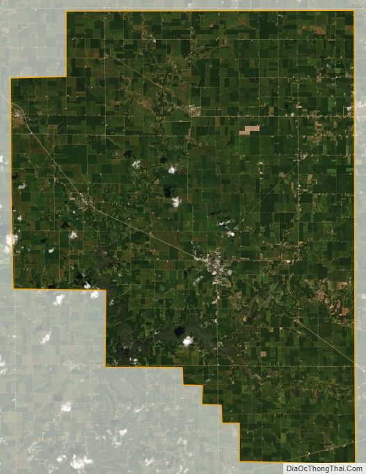
Moultrie County Satellite Map
Moultrie County Outline Map