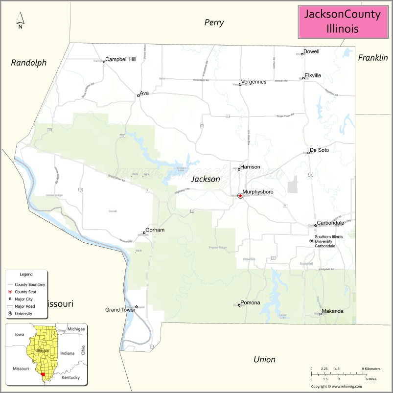
Jackson County is a county located in the U.S. state of Illinois with a population of 52,974 at the 2020 census. Its county seat is Murphysboro, and its most populous city is Carbondale, home to the main campus of Southern Illinois University. The county was incorporated on January 10, 1816, and named for Andrew Jackson. The community of Brownsville served as the fledgling county’s first seat.
Jackson County is included in the Carbondale-Marion, IL Metropolitan Statistical Area. It is located in the southern portion of Illinois known locally as “Little Egypt”.
| Name: | Jackson County |
|---|---|
| FIPS code: | 17-077 |
| State: | Illinois |
| Founded: | 10 January 1816 |
| Named for: | Andrew Jackson |
| Seat: | Murphysboro |
| Largest city: | Carbondale |
| Total Area: | 602 sq mi (1,560 km²) |
| Land Area: | 584 sq mi (1,510 km²) |
| Total Population: | 52,974 |
| Population Density: | 88/sq mi (34/km²) |
| Time zone: | UTC−6 (Central) |
| Summer Time Zone (DST): | UTC−5 (CDT) |
| Website: | www.jacksoncounty-il.gov |
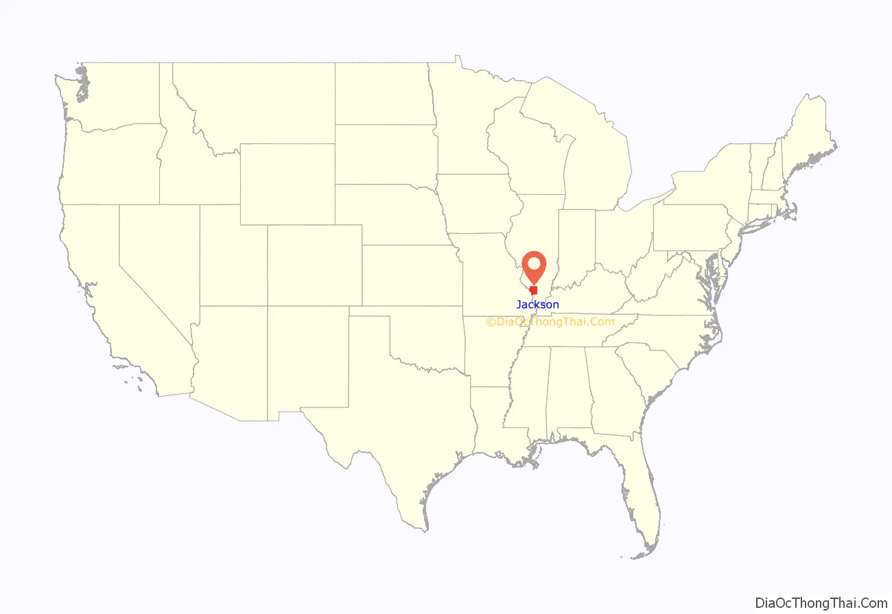
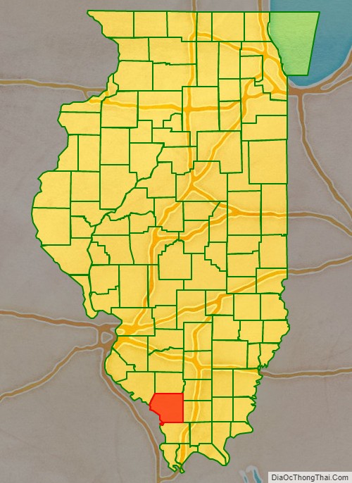
Jackson County location map. Where is Jackson County?
History
Human occupation of Jackson County began about 11,500 years ago. Extensive documentation of the area’s indigenous peoples is ongoing. Exploration from the European explorers began with the Joliet-Marquette exploration along the Mississippi River. It was not until the 18th and 19th century when pioneer farmers began to settle in the area’s inexpensive land along the Mississippi River and in the forested Shawnee hills with its one-hundred-foot trees.
As early as 1810 William Boone and his indentured servant Peter mined coal from the banks along Big Muddy River. This was Illinois’ first coal mine. By 1813, Conrad Will, namesake of Will County, conducted a large salt extraction operation using slave labor on the banks of the Big Muddy River, south of today’s Murphysboro. As this was in the “free” Northwest Territory, Will had to have a legal exemption to own slaves. Jackson County, Illinois’ ninth county to be organized, was organized in 1816, having been carved out of Randolph County, Illinois on the north and Johnson County, Illinois on the South. It was named for Andrew Jackson, who had just defeated the British Army at the Battle of New Orleans. Brownsville, located near Will’s salt works, was established as the county seat. When the courthouse burned in 1843, the county voted to move the county seat to a more central location. Murphysboro, located on land owned by Dr. John and Elizabeth (Jenkins) Logan, became the second county seat in September 1843. It was named after William C. Murphy, one of the three Commissioners appointed to select the site.
Civil War Major General John A. Logan, Dr. John and Elizabeth Logan’s son, was born in what is now Murphysboro on February 9, 1826. During the Civil War he moved to Carbondale, about 10 miles (16 km) east of his birthplace. He moved to Chicago in 1871. During his residence in Carbondale, he took part in a Memorial Day observation at that city’s Woodlawn Cemetery. In 1868, Logan, as Commander of the Grand Army of the Republic, issued General Order No. 11 which established Memorial Day as a national holiday.
On 18 March 1925, the great Tri-State Tornado ripped through Jackson County, leaving devastation in its path. The villages of Gorham and De Soto and the city of Murphysboro were hit especially hard.
The county courthouse is in downtown Murphysboro. The current reinforced concrete courthouse, completed in 1928, replaced earlier brick structures.
Jackson County (1816–1818), including unorganized territory (formerly part of Johnson County) temporarily attached to it
Jackson County (1818–1827)
Jackson County (1827–present)
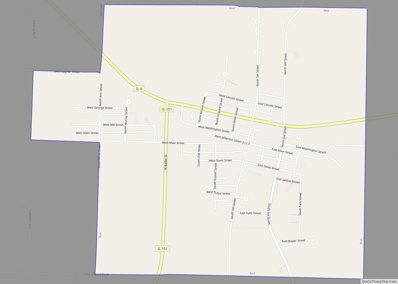
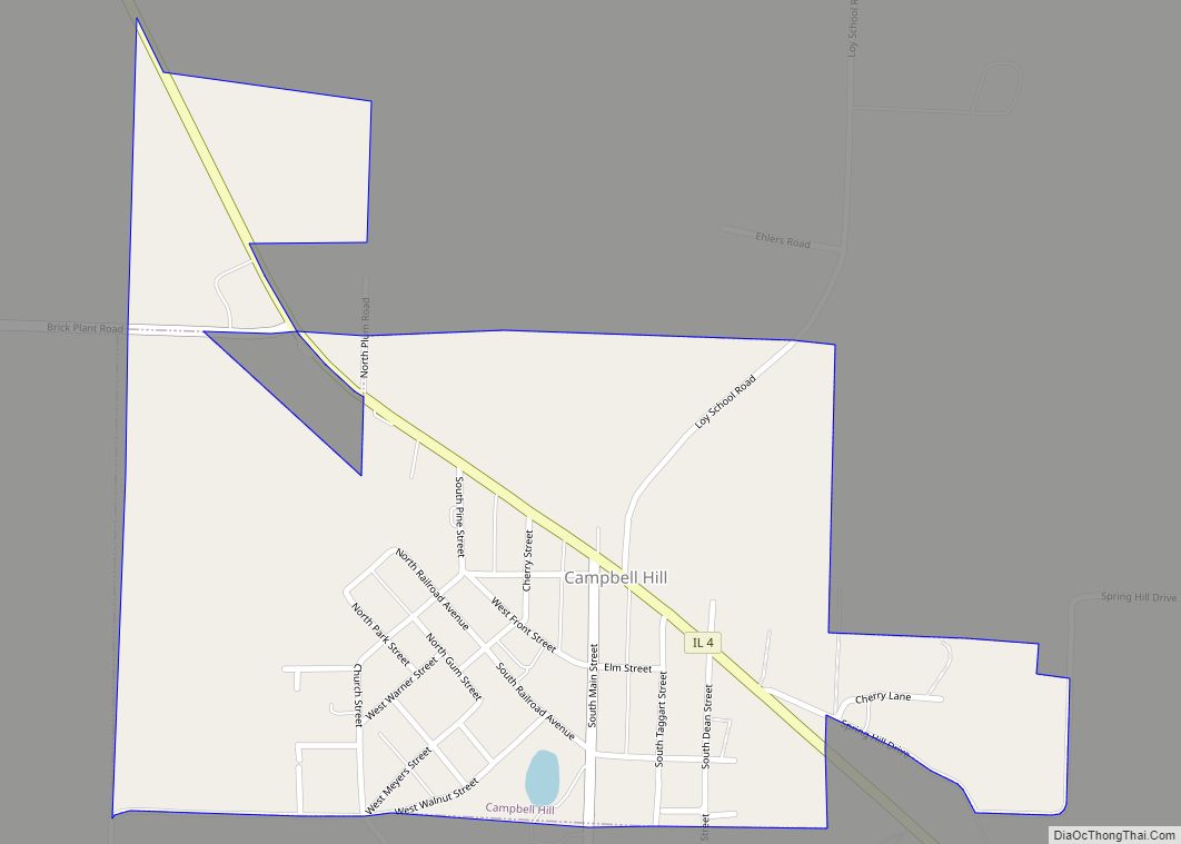
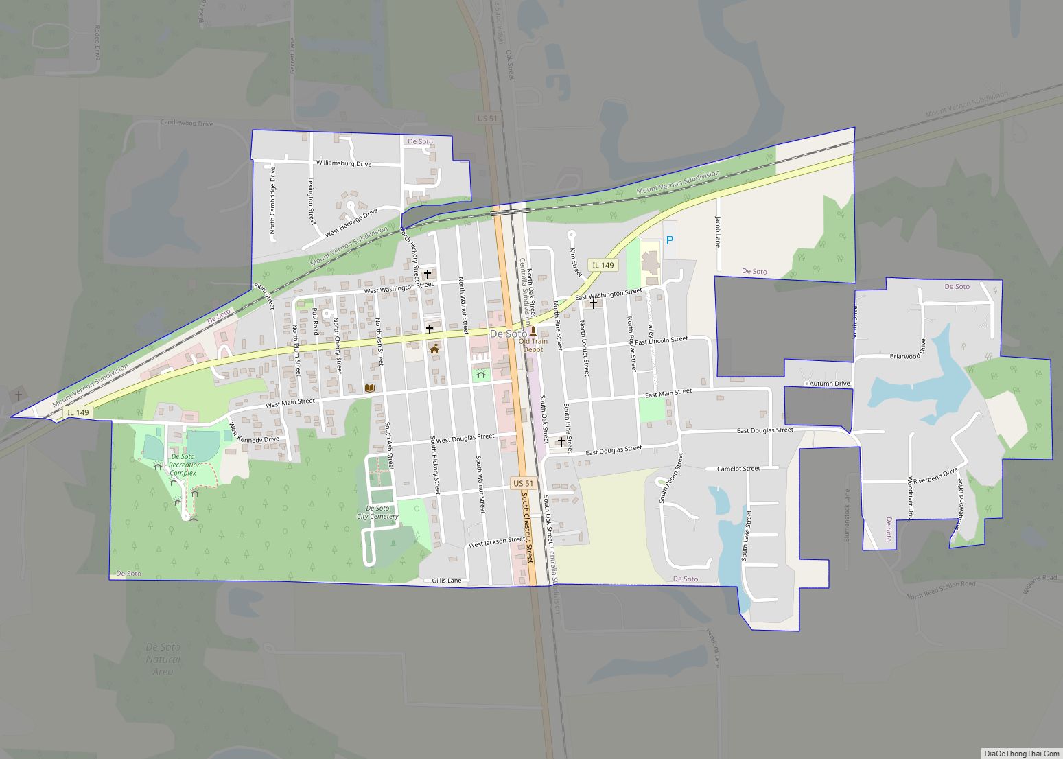
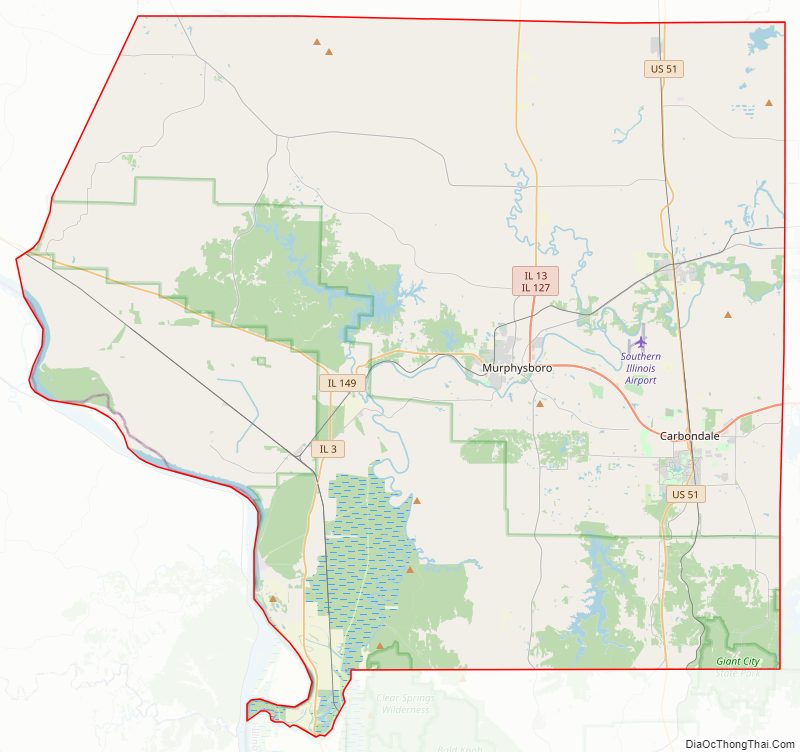
Jackson County Road Map
Geography
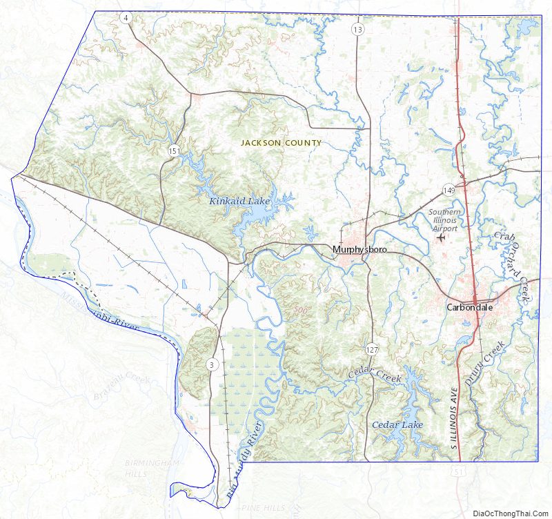
According to the US Census Bureau, the county has a total area of 602 square miles (1,560 km), of which 584 square miles (1,510 km) is land and 18 square miles (47 km) (3.0%) is water. The average elevation is around 400 feet (120 m), except near the Mississippi River.
The first coal mine in Illinois was opened on the south bank of the Big Muddy River near the present-day Route 127 Bridge.
Climate and weather
In recent years, average temperatures in the county seat of Murphysboro have ranged from a low of 21 °F (−6 °C) in January to a high of 88 °F (31 °C) in July, although a record low of −25 °F (−32 °C) was recorded in January 1977 and a record high of 113 °F (45 °C) was recorded in August 1930. Average monthly precipitation ranged from 2.91 inches (74 mm) in January to 4.78 inches (121 mm) in May.
Major highways
- U.S. Highway 51
- Illinois Route 3
- Illinois Route 4
- Illinois Route 13
- Illinois Route 127
- Illinois Route 149
- Illinois Route 151
Transit
- Carbondale station
- List of intercity bus stops in Illinois
Adjacent counties
- Perry County (north)
- Franklin County (northeast)
- Williamson County (east)
- Union County (south)
- Cape Girardeau County, Missouri (southwest)
- Perry County, Missouri (west)
- Randolph County (northwest)
Protected areas
- Crab Orchard National Wildlife Refuge (part)
- Shawnee National Forest (part)
- Giant City State Park
Jackson County Topographic Map
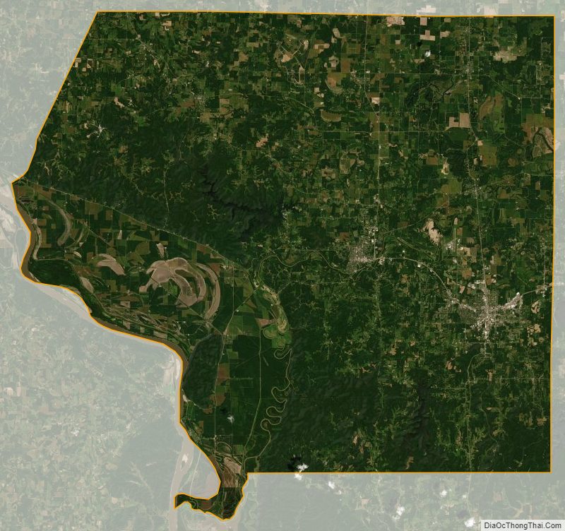
Jackson County Satellite Map
Jackson County Outline Map