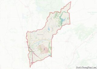
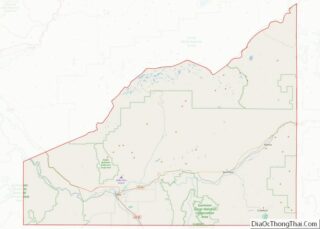
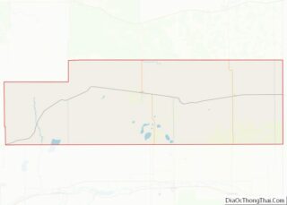
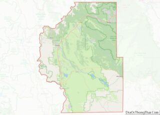
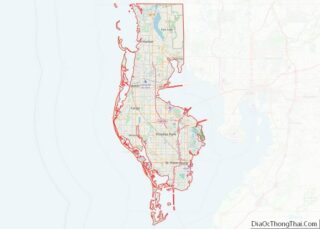
Map of Iberia Parish, Louisiana
Iberia Parish (French: Paroisse de l’Ibérie, Spanish: Parroquia de Iberia) is a parish located in the U.S. state of Louisiana. At the 2020 census, it had a population of 69,929; the parish seat is New Iberia. The parish was formed in 1868 during the Reconstruction era and named for the Iberian Peninsula. It is part ... Read more
Map of Iberia Parish, Louisiana
Map of Pointe Coupee Parish, Louisiana
Pointe Coupee Parish (/ˈpɔɪnt kəˈpiː/ or /ˈpwɑːnt kuːˈpeɪ/; French: Paroisse de la Pointe-Coupée) is a parish located in the U.S. state of Louisiana. As of the 2020 census, the population was 20,758. The parish seat is New Roads. Pointe Coupee Parish is part of the Baton Rouge, Louisiana Metropolitan Statistical Area. In 2010, the center ... Read more
Map of Pointe Coupee Parish, Louisiana
Map of Terrebonne Parish, Louisiana
Terrebonne Parish (/ˌtɛrəˈboʊn/ TERR-ə-BOHN; French: Paroisse de Terrebonne) is a parish located in the southern part of the U.S. state of Louisiana. At the 2020 census, the population was 109,580. The parish seat is Houma. The parish was founded in 1822. Terrebonne Parish is part of the Houma–Thibodaux metropolitan statistical area. It is the fifth-largest ... Read more
Map of Terrebonne Parish, Louisiana
Map of Knox County, Maine
Knox County is a county located in the state of Maine, in the United States. As of the 2020 census, the population was 40,607. Its county seat is Rockland. The county is named for American Revolutionary War general and Secretary of War Henry Knox, who lived in the county from 1795 until his death in ... Read more
Map of Knox County, Maine
Map of Cecil County, Maryland
Cecil County (SEE-sil) is a county located in the U.S. state of Maryland at the northeastern corner of the state, bordering both Pennsylvania and Delaware. As of the 2020 census, the population was 103,725. The county seat is Elkton. The county was named for Cecil Calvert, 2nd Baron Baltimore (1605–1675), the first Proprietary Governor of ... Read more
Map of Cecil County, Maryland
Map of Worcester County, Maryland
Worcester County /ˈwʊstər/ is the easternmost county of the U.S. state of Maryland. As of the 2020 census, the population was 52,460. Its county seat is Snow Hill. It is the only county of Maryland that borders the Atlantic Ocean, and the only county bordering both Delaware and Virginia. The county was named for Mary ... Read more
Map of Worcester County, Maryland
Map of Alger County, Michigan
Alger County (/ˌældʒər/ AL-jər) is a county in the Upper Peninsula of the U.S. state of Michigan. As of the 2020 Census, the population was 8,842. Its county seat is Munising. The Pictured Rocks National Lakeshore is located within the county. Alger County overview: Name: Alger County FIPS code: 26-003 State: Michigan Founded: March 17, ... Read more
Map of Alger County, Michigan
Map of Clare County, Michigan
Clare County is a county in the U.S. state of Michigan. As of the 2020 Census, the population was 30,856. The county seat is Harrison. Clare County overview: Name: Clare County FIPS code: 26-035 State: Michigan Founded: 1840 Named for: County Clare, Ireland Seat: Harrison Largest city: Clare Total Area: 575 sq mi (1,490 km²) Land Area: 564 sq mi ... Read more
Map of Clare County, Michigan
Map of Ionia County, Michigan
Ionia County (/aɪˈoʊnjə/ eye-OH-nyə) is a county located in the U.S. state of Michigan. As of the 2020 census, the population was 66,804. The county seat is Ionia. The Ionia County Courthouse was designed by Claire Allen, a prominent southern Michigan architect. Ionia County is part of the Grand Rapids-Kentwood metropolitan statistical area. Ionia County ... Read more
Map of Ionia County, Michigan
Map of Lenawee County, Michigan
Lenawee County (/ˈlɛnəweɪ/ LEN-ə-way) is a county located in the U.S. state of Michigan. As of the 2020 United States Census, the population was 99,423. The county seat is Adrian. The county was created in 1822, from territory partitioned from Monroe County. Its governing structure was organized in 1826. Lenawee County comprises the Adrian, MI ... Read more
Map of Lenawee County, Michigan
Map of Newaygo County, Michigan
Newaygo County (/nəweɪɡoʊ/ nə-WAY-goh) is a county in the U.S. state of Michigan. As of the 2020 United States Census, the population was 49,978. The county seat is White Cloud. The county was created in 1840, and was organized in 1851. It was either named for an Ojibwe leader who signed the Treaty of Saginaw ... Read more
Map of Newaygo County, Michigan
Map of Shiawassee County, Michigan
Shiawassee County (/ˌʃaɪəˈwɒsi/ shy-ə-WAH-see) is a county located in the U.S. state of Michigan. As of the 2020 United States Census, the population was 68,094. The county seat is Corunna, and the largest city in the county is Owosso. In 2010, the center of population of Michigan was located in Shiawassee County, in Bennington Township. ... Read more
Map of Shiawassee County, Michigan