Yuba County (/ˈjuːbə/ (listen); Maidu: Yubu) is a county in the U.S. state of California. As of the 2020 U.S. Census, its population was 81,575. The county seat is Marysville. Yuba County is included in the Yuba Citymetropolitan statistical area, which is also included in the Sacramento–Roseville combined statistical area. The county is in the Central Valley region along the Feather River.
Despite its name and proximity, Yuba City is in neighboring Sutter County, not Yuba County.
| Name: | Yuba County |
|---|---|
| FIPS code: | 06-115 |
| State: | California |
| Founded: | 1850 |
| Named for: | Yuba River |
| Seat: | Marysville |
| Total Area: | 644 sq mi (1,670 km²) |
| Land Area: | 632 sq mi (1,640 km²) |
| Total Population: | 81,575 |
| Population Density: | 130/sq mi (49/km²) |
| Time zone: | UTC-8 (Pacific Time Zone) |
| Summer Time Zone (DST): | UTC-7 (Pacific Daylight Time) |
| Website: | www.co.yuba.ca.us |
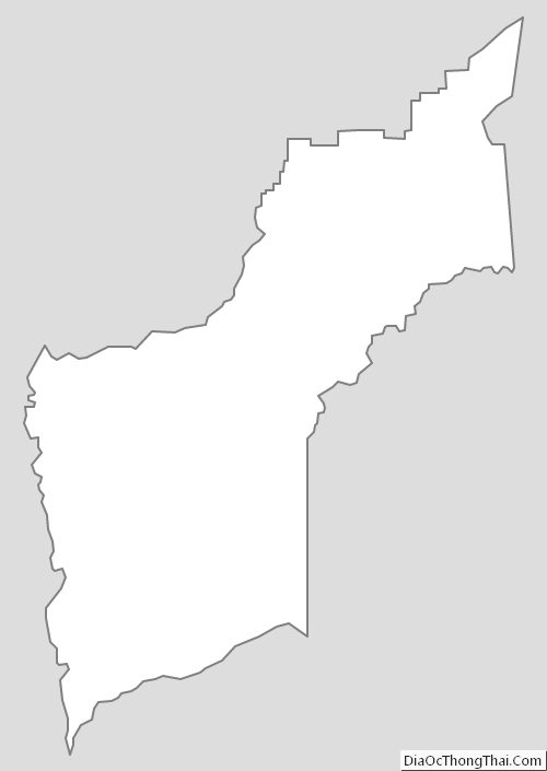
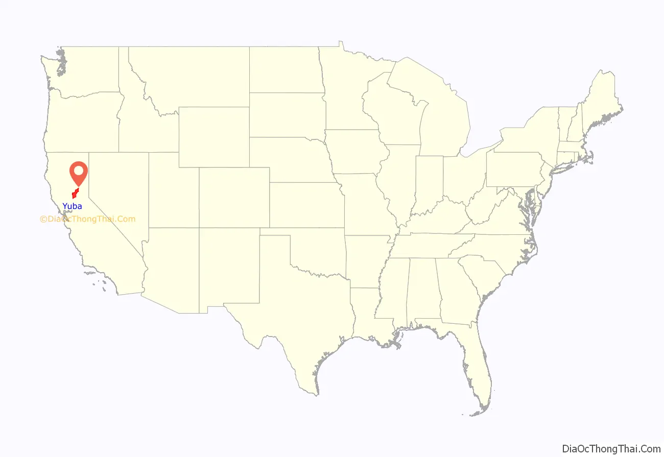
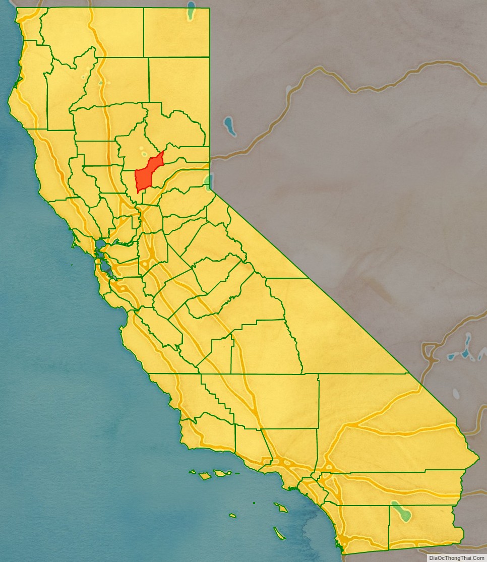
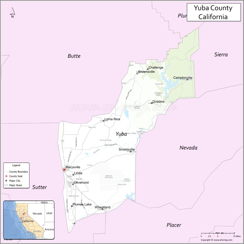
Yuba County location map. Where is Yuba County?
History
Yuba County was one of California’s original counties, formed in 1850 at the time of statehood. Parts of the county’s territory were given to Placer County in 1851, to Nevada County in 1851, and to Sierra County in 1852.
The county was named after the Yuba River by Captain John Sutter for the Maidu village Yubu, Yupu, or Juba near the confluence of the Yuba and Feather Rivers. General Mariano Vallejo said the river was named Uba by an exploring expedition in 1824 because of the quantities of wild grapes (uvas silvestres in Spanish) that they found growing on its banks.
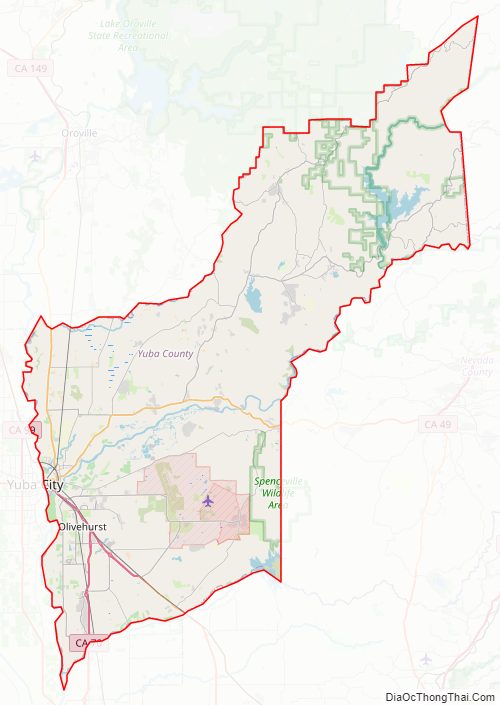
Yuba County Road Map
Geography
According to the U.S. Census Bureau, the county has an area of 644 square miles (1,670 km), of which 12 square miles (31 km) (1.9%) are covered by water. It is California’s fifth-smallest county by area. The county lies along the western slope of the Sierra Nevada, the steep slopes making it prime territory for the siting of hydroelectric power plants.
Part of the county, where Marysville (the county seat) and most of the population lives, is west of the mountains on the valley floor. A great deal of agriculture business occurs in this part of the county, especially fruit orchards, rice fields, and cattle grazing.
Ecology
Studies by the Biota of North America Program suggest Yuba is the most biodiverse county in the contiguous United States, with 1,968 native vascular plant species per 10,000 square kilometres (3,860 sq mi), a figure that exceeds the most species-rich parts of Florida. The county exhibits a considerable diversity of flowering plant species, among them the yellow mariposa lily, Calochortus luteus.
National protected areas in Yuba County include parts of the Plumas National Forest and the Tahoe National Forest. The county also has extensive natural areas consisting of forestation, grassland, riparian area, grasslands, and other habitats.
Adjacent counties
- Butte County to the north
- Sierra County to the northeast
- Nevada County to the east
- Placer County to the southeast
- Sutter County to the southwest
Yuba County Topographic Map
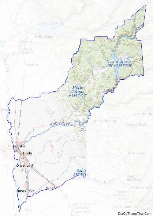
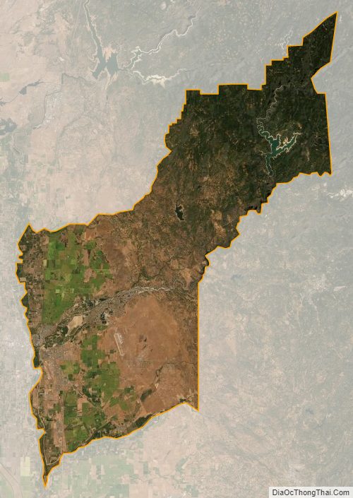
Yuba County Satellite Map
Yuba County Outline Map