Van Buren County is a county located in the U.S. state of Tennessee. As of the 2020 census, the population was 6,168, making it the second-least populous county in Tennessee. Its county seat is Spencer.
| Name: | Van Buren County |
|---|---|
| FIPS code: | 47-175 |
| State: | Tennessee |
| Founded: | January 3, 1840 |
| Named for: | Martin Van Buren |
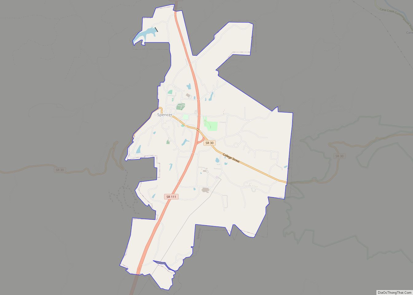
| Seat: | Spencer |
| Largest town: | Spencer |
| Total Area: | 275 sq mi (710 km²) |
| Land Area: | 273 sq mi (710 km²) |
| Total Population: | 6,168 |
| Population Density: | 20/sq mi (8/km²) |
| Time zone: | UTC−6 (Central) |
| Summer Time Zone (DST): | UTC−5 (CDT) |
| Website: | vanburencountytn.com |
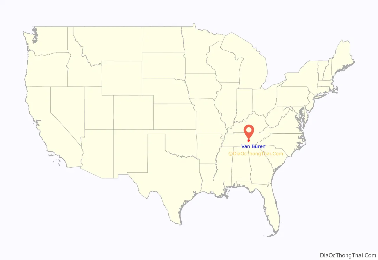
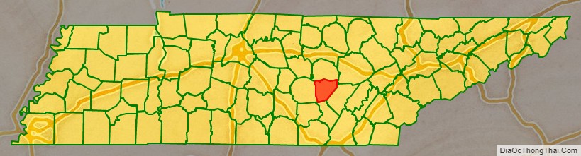
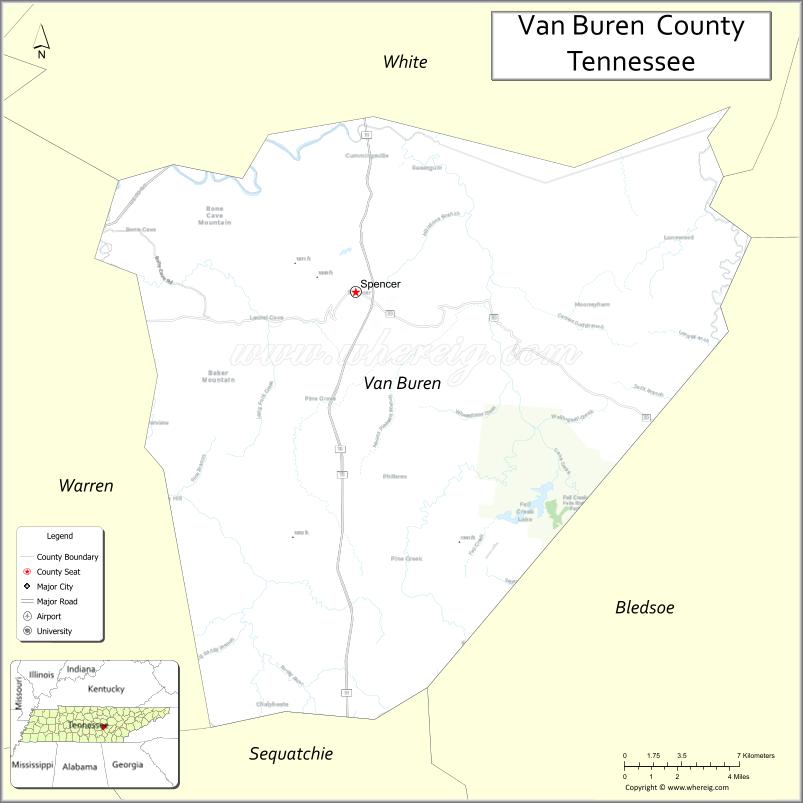
Van Buren County location map. Where is Van Buren County?
History
Van Buren County was formed in 1840 from parts of White, Warren and Bledsoe counties. It was named for President Martin Van Buren. The county seat, Spencer, was home to Burritt College, one of the South’s first coeducational colleges, during the 19th and early 20th centuries.
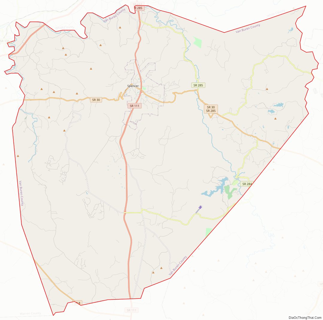
Van Buren County Road Map
Geography
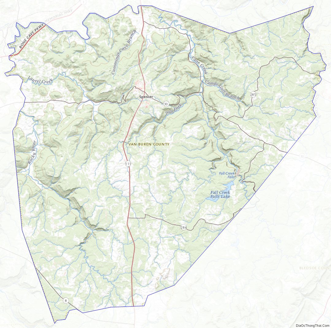
According to the U.S. Census Bureau, the county has a total area of 275 square miles (710 km), of which 273 square miles (710 km) is land and 1.1 square miles (2.8 km) (0.4%) is water. The county straddles the western edge of the Cumberland Plateau, with the eastern portion of the county lying atop the Plateau, and the western portion lying on the lower Highland Rim. The Caney Fork, the county’s primary drainage, forms part of its northern border with White County. The Rocky River, a tributary of the Caney Fork, forms part of the county’s western border with Warren. Cane Creek, another tributary of the Caney Fork, drains the Fall Creek Falls area.
Big Bone Cave is located in the northwest corner of Van Buren County. It is one of the best-known and most historic caverns in Tennessee. It was mined by prehistoric Indians for gypsum and salts and was the site of the largest saltpeter mine in Tennessee during the War of 1812 and again during the American Civil War. The cave is named for the discovery of the skeleton of a Giant Ground Sloth (Megalonyx jeffersoni) by saltpeter miners in 1811. Many of the wooden saltpeter mining artifacts in the cave remain in a remarkable state of preservation, due to the extreme dryness of the cave.
Van Buren County boasts over 850 documented caves (over 3.09 caves per square mile), making it one of the most cave dense regions in the world (nearby White County has over 3.17 caves per square mile).
Adjacent counties
- White County (north)
- Cumberland County (northeast)
- Bledsoe County (east)
- Sequatchie County (south)
- Warren County (west)
State protected areas
- Big Bone Cave State Natural Area
- Bledsoe State Forest (part)
- Fall Creek Falls State Natural Area (part)
- Fall Creek Falls State Resort Park (part)
Van Buren County Topographic Map
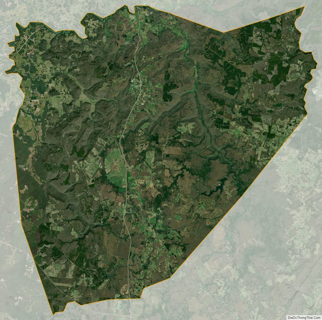
Van Buren County Satellite Map
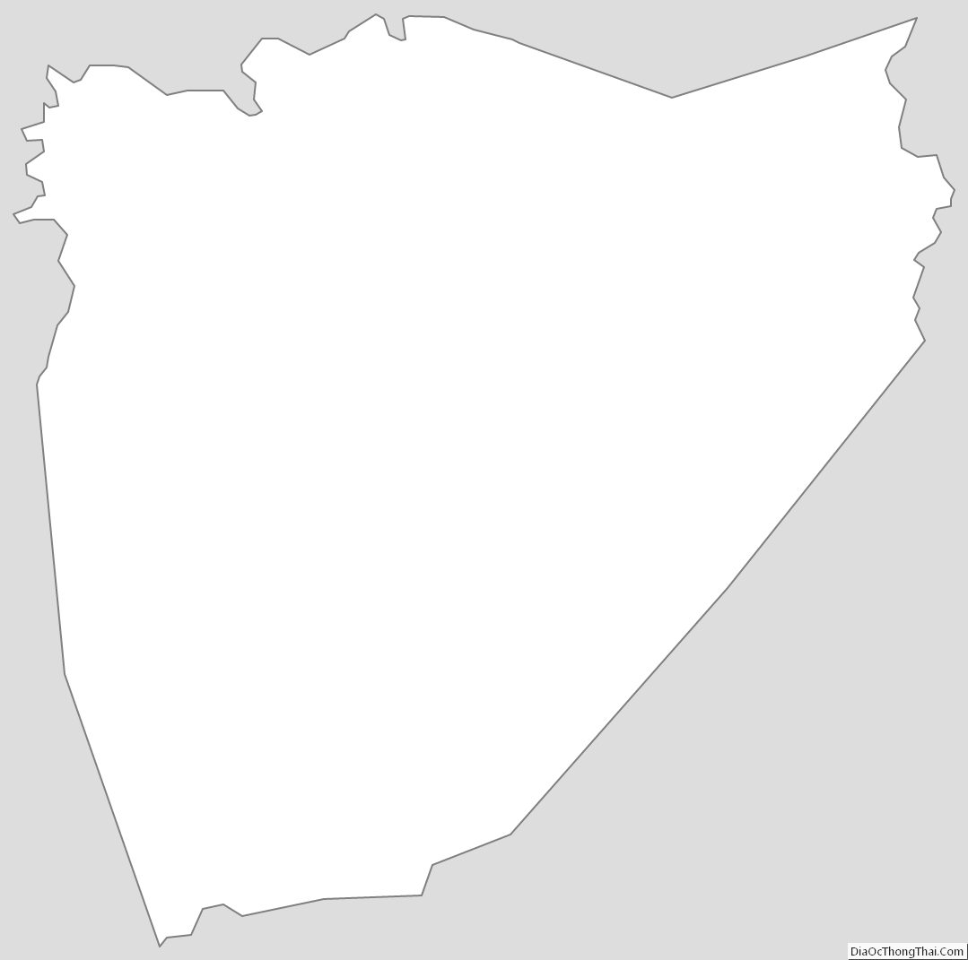
Van Buren County Outline Map