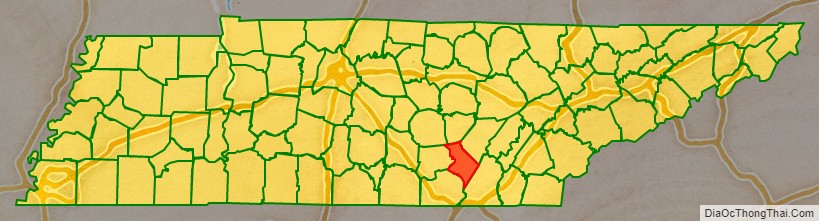
Sequatchie County is a county located in the U.S. state of Tennessee. As of the 2020 census, the population was 15,826. Its county seat is Dunlap. Sequatchie County is part of the Chattanooga, TN–GA Metropolitan Statistical Area.
| Name: | Sequatchie County |
|---|---|
| FIPS code: | 47-153 |
| State: | Tennessee |
| Founded: | December 9, 1857 |
| Named for: | Cherokee chief |
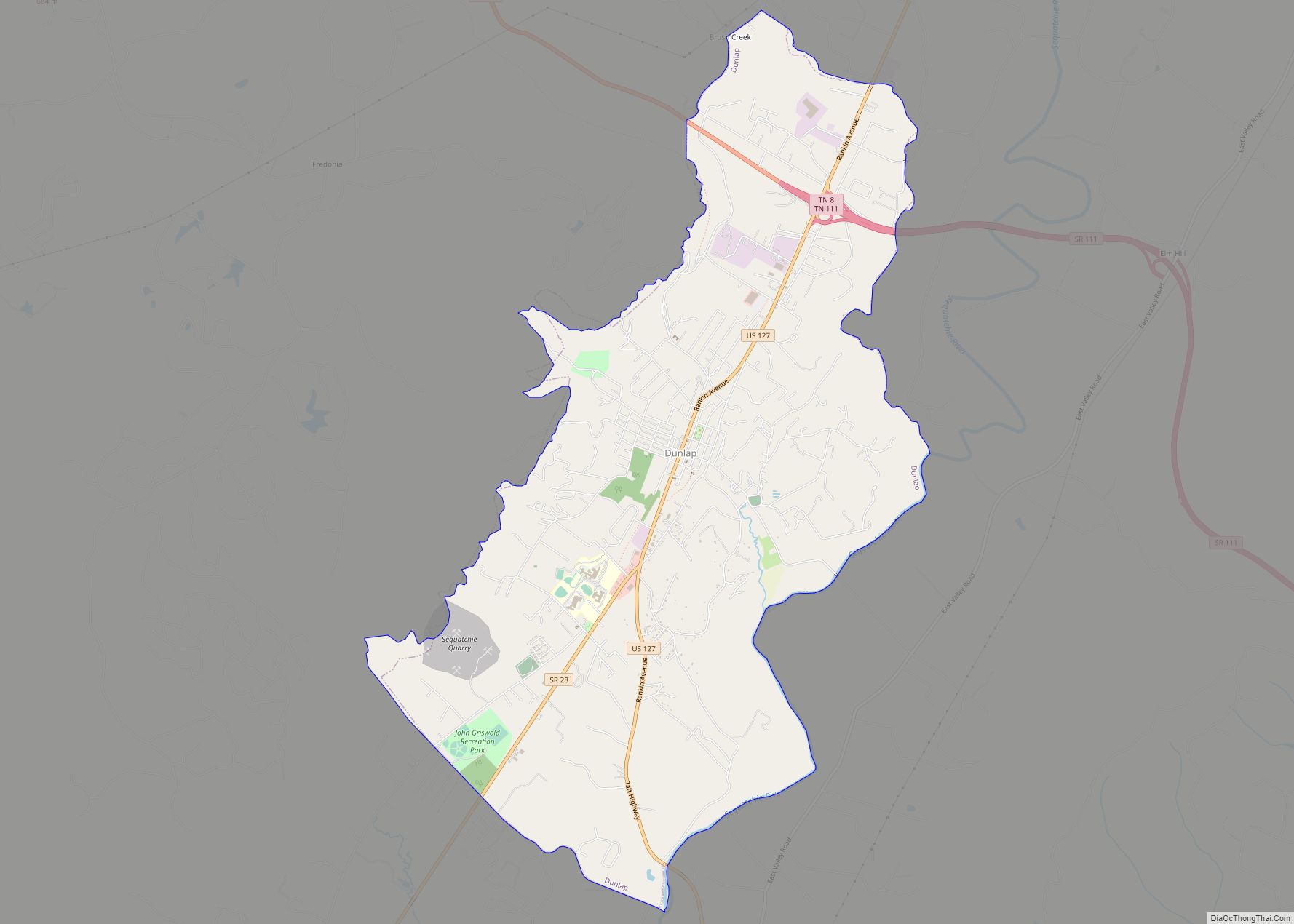
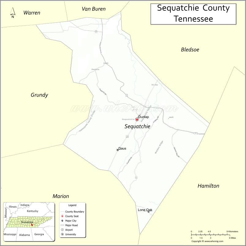
| Seat: | Dunlap |
| Largest city: | Dunlap |
| Total Area: | 266 sq mi (690 km²) |
| Land Area: | 266 sq mi (690 km²) |
| Total Population: | 15,826 |
| Population Density: | 53/sq mi (20/km²) |
| Time zone: | UTC−6 (Central) |
| Summer Time Zone (DST): | UTC−5 (CDT) |
| Website: | sequatchiecounty-tn.gov |
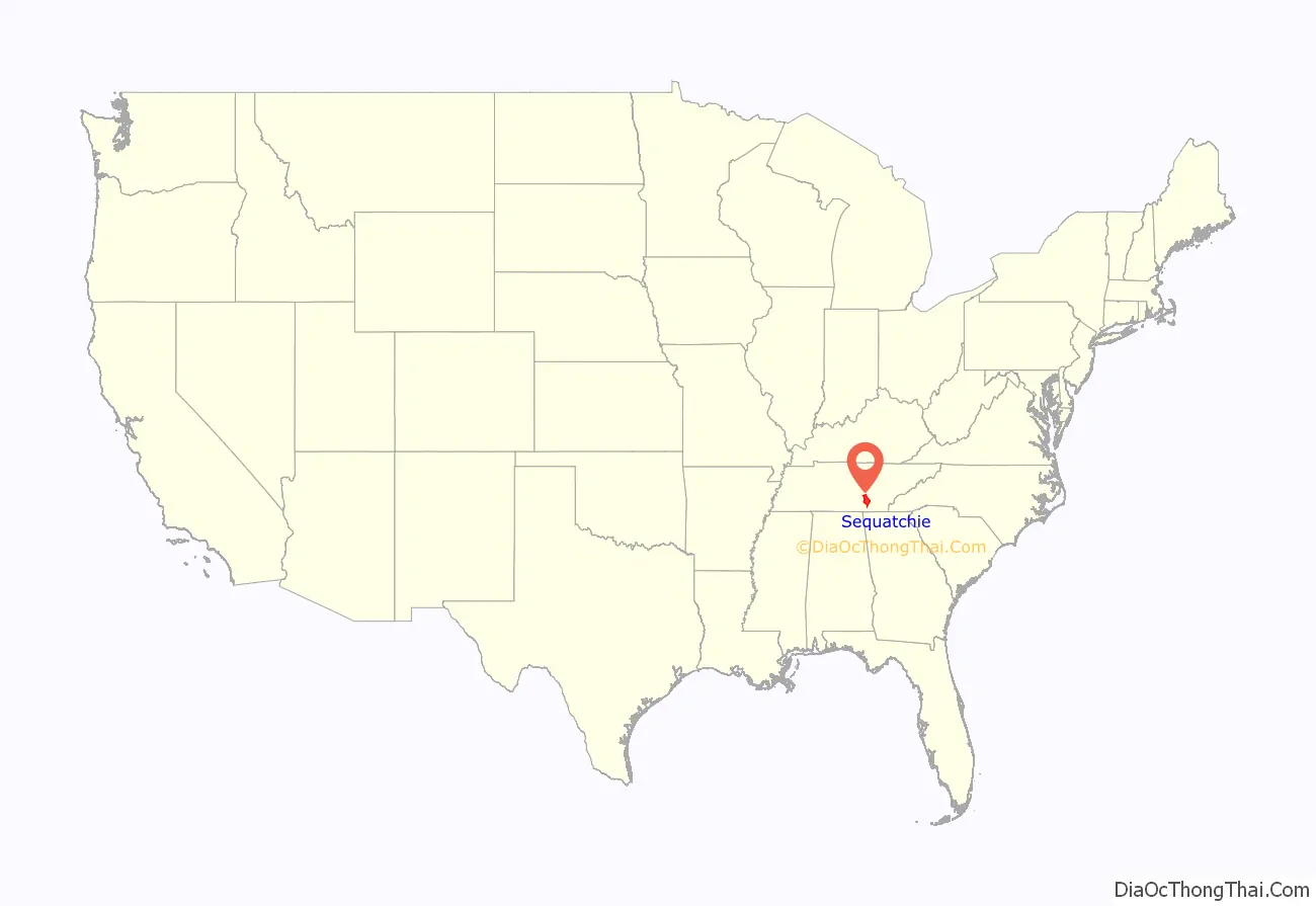
Sequatchie County location map. Where is Sequatchie County?
History
Sequatchie County was created in 1857 from two districts of Marion County and one district of Bledsoe County. It was named for the Sequatchie Valley, which in turn had been named for a Cherokee chief. The word sequachee from ᏏᏆ ᎤᏤᏥᏍᏘ siqua utsedsdi in Cherokee means ‘opossum’ or ‘he grins.’ Settlers began arriving in what is now Sequatchie by the early 19th century, drawn to the area by the fertile land in the valley.
At the outset of the Civil War, Sequatchie was divided over the issue of secession. On June 8, 1861, Sequatchie Countians voted in favor of Tennessee’s Ordinance of Secession by a vote 153 to 100. In October 1863, Confederate General Joseph Wheeler led a raid into Sequatchie, burning nearly a thousand wagons and capturing livestock.
During the late 19th century, the Douglas Coal and Coke Company (later the Chattanooga Iron and Coal Corporation) conducted extensive mining activities in the Dunlap area. The company constructed 268 beehive ovens, now known as the Dunlap Coke Ovens, to convert coal into coke. The ovens are now the focus of a local park.
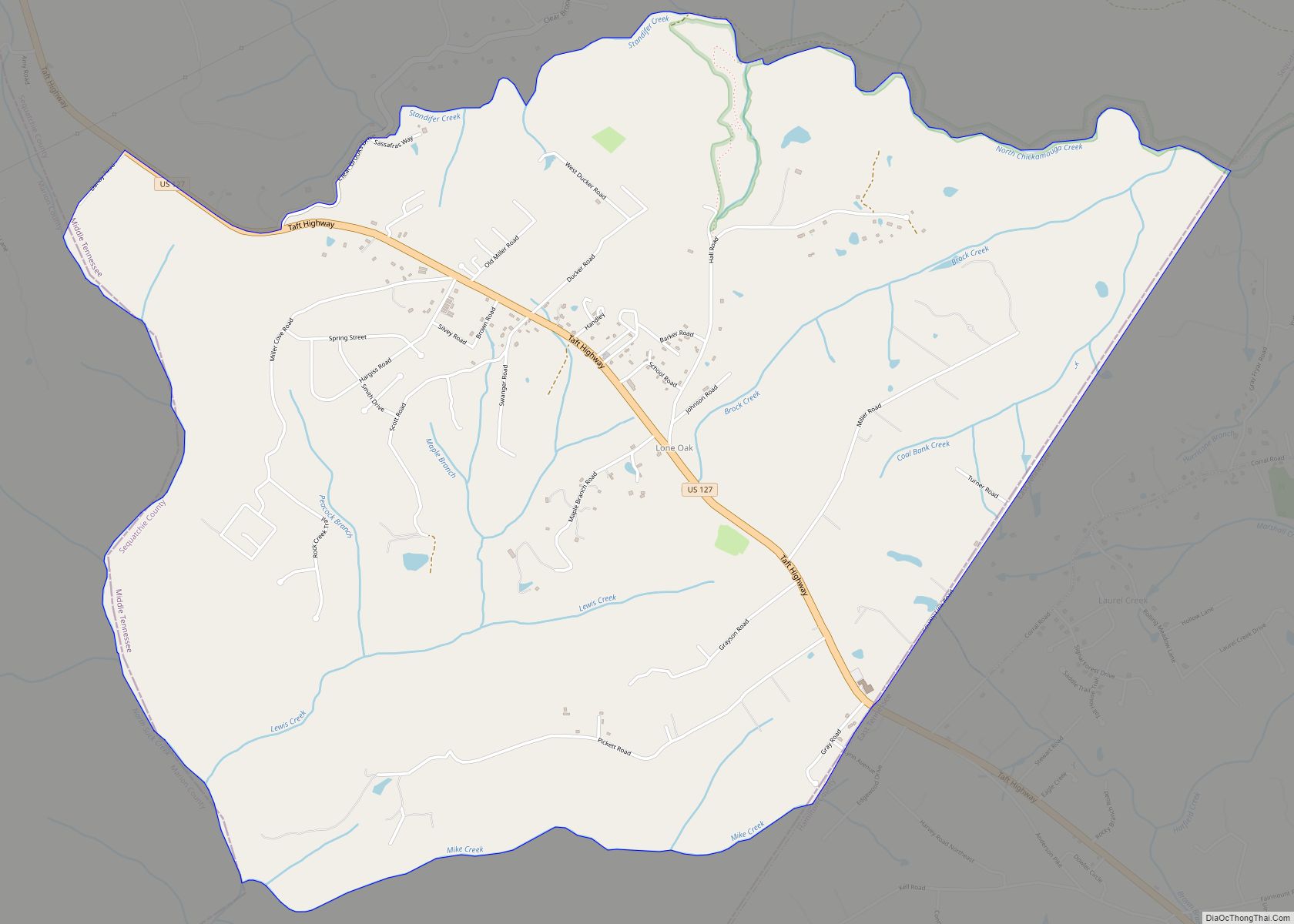
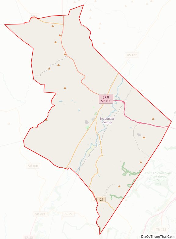
Sequatchie County Road Map
Geography
According to the U.S. Census Bureau, the county has a total area of 266 square miles (690 km), of which 266 square miles (690 km) is land and 0.2 square miles (0.52 km) (0.07%) is water.
Sequatchie is one of three counties (along with Bledsoe and Marion) situated in the Sequatchie Valley, a long, narrow valley running northeast-to-southwest across the eastern portion of the Cumberland Plateau. The county is flanked by the Plateau’s Walden Ridge escarpment on the east. The Sequatchie River, which spans the valley, passes through the county.
Two major highways, U.S. Route 127 and Tennessee State Route 111, intersect in Dunlap.
While the two other counties in the Sequatchie Valley, Bledsoe and Marion, are grouped with the East Tennessee grand division, Sequatchie is grouped with Middle Tennessee.
Adjacent counties
- Van Buren County (north)
- Bledsoe County (northeast)
- Hamilton County (southeast/EST Border)
- Marion County (southwest)
- Grundy County (west)
- Warren County (northwest)
State protected areas
- North Chickamauga Creek State Natural Area (part)
- Prentice Cooper State Forest (part)
- Savage Gulf State Natural Area (part)
- South Cumberland State Park (part)
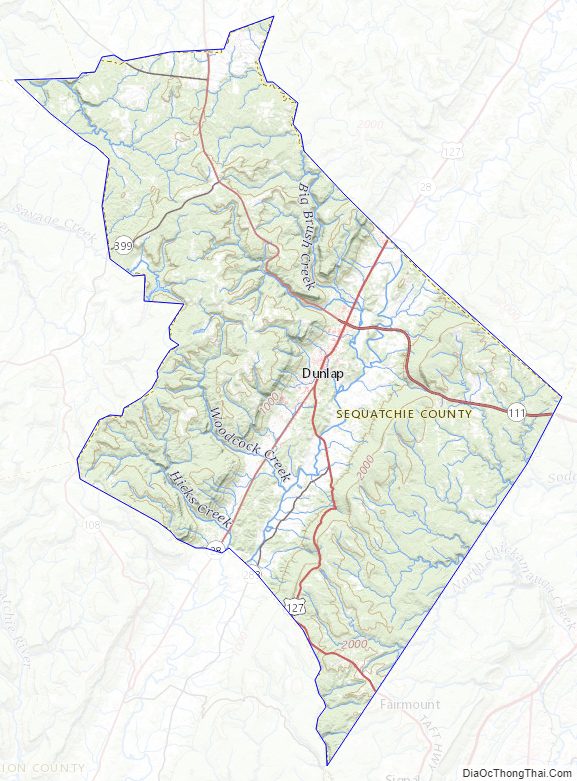
Sequatchie County Topographic Map
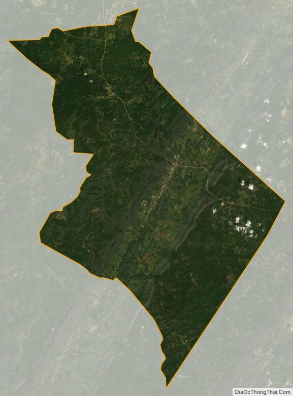
Sequatchie County Satellite Map
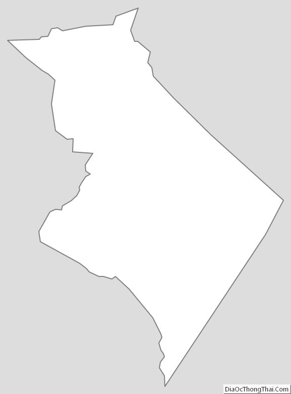
Sequatchie County Outline Map