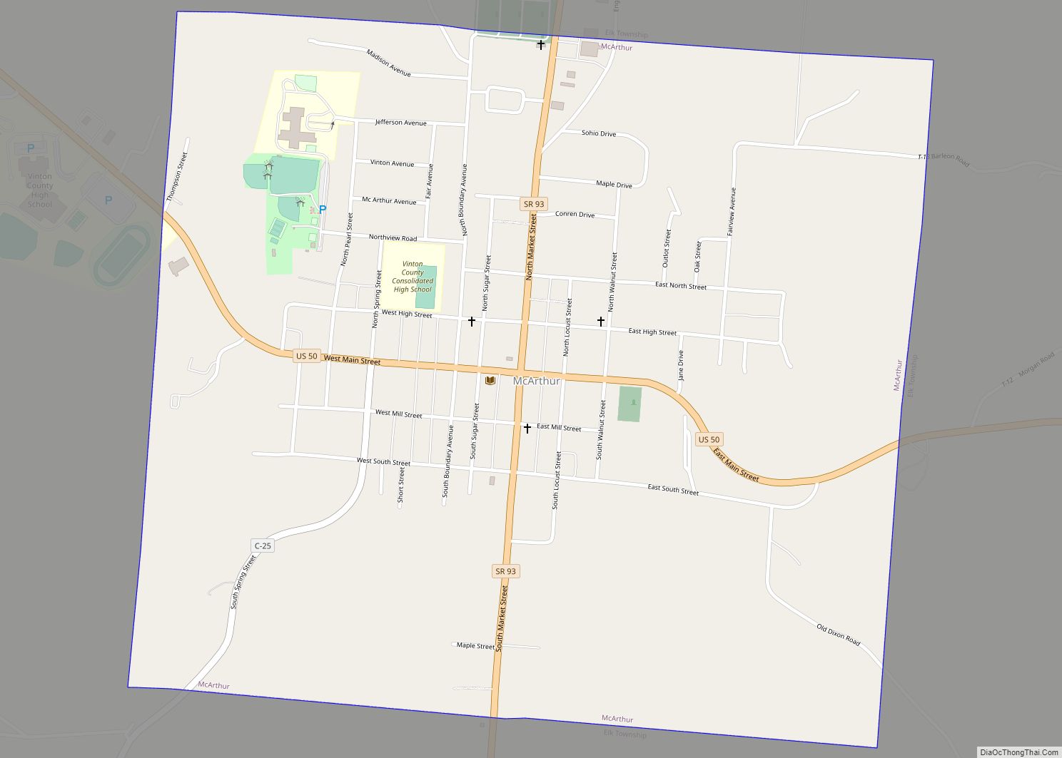
McArthur is a village in Vinton County, Ohio, United States. It is located 27 miles southeast of Chillicothe. The population was 1,701 at the 2010 census. It is the county seat of Vinton County.
| Name: | McArthur village |
|---|---|
| LSAD Code: | 47 |
| LSAD Description: | village (suffix) |
| State: | Ohio |
| County: | Vinton County |
| Elevation: | 764 ft (233 m) |
| Total Area: | 1.69 sq mi (4.39 km²) |
| Land Area: | 1.69 sq mi (4.37 km²) |
| Water Area: | 0.01 sq mi (0.02 km²) |
| Total Population: | 1,783 |
| Population Density: | 1,056.91/sq mi (408.19/km²) |
| ZIP code: | 45651 |
| Area code: | 740 |
| FIPS code: | 3945696 |
| GNISfeature ID: | 1076353 |
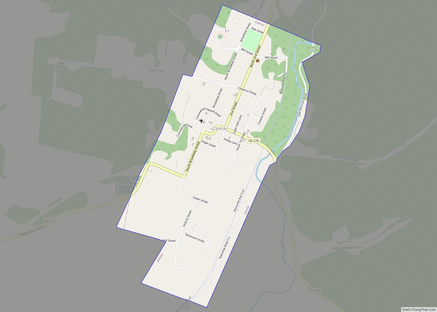
Online Interactive Map
Click on ![]() to view map in "full screen" mode.
to view map in "full screen" mode.
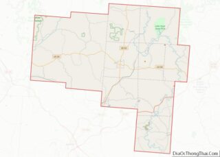
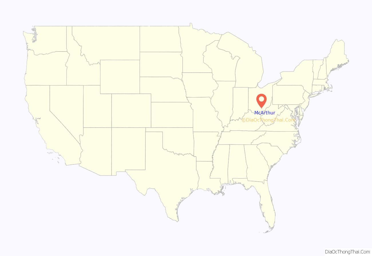
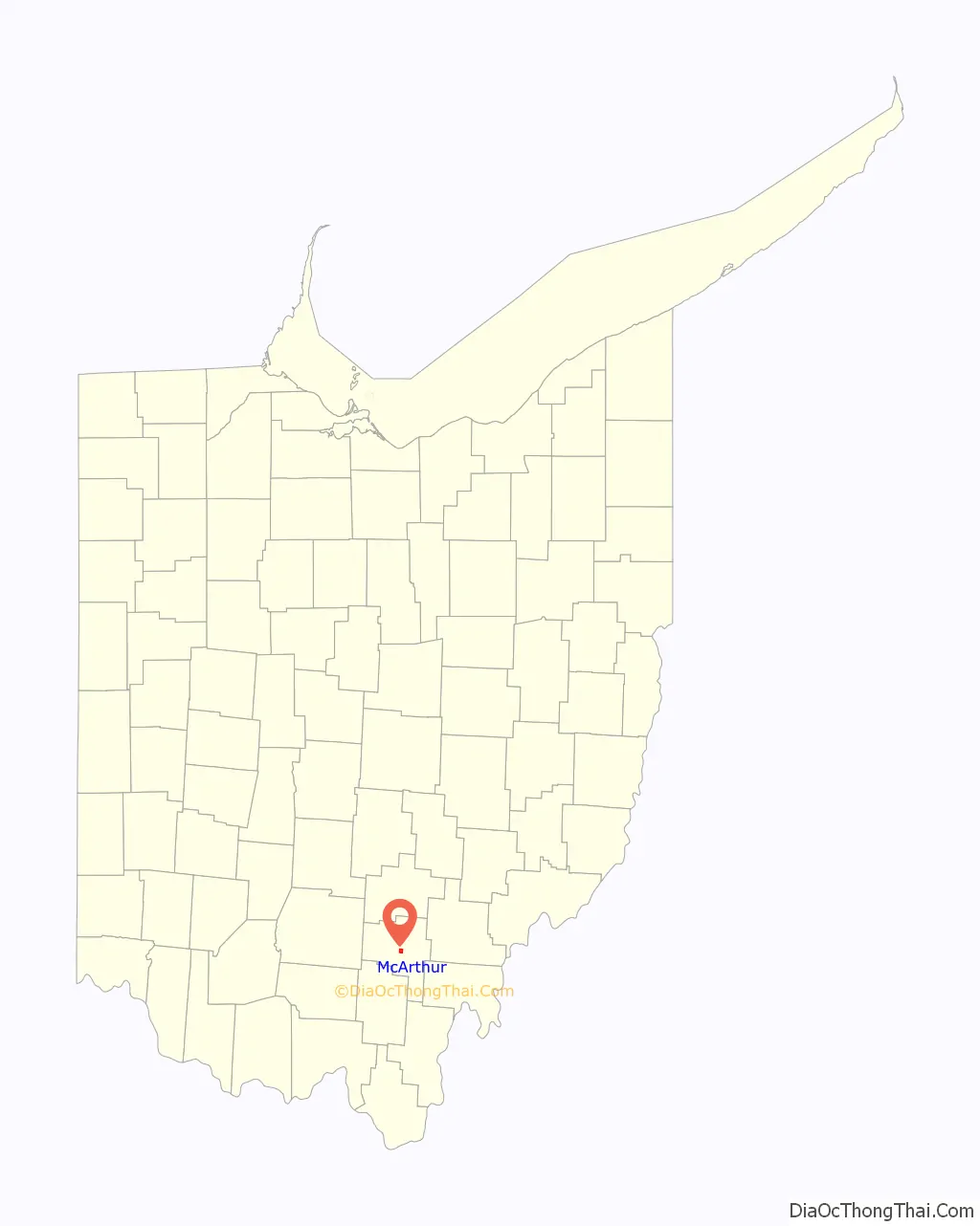
McArthur location map. Where is McArthur village?
History
McArthur was laid out and platted in 1815. It was originally called McArthurstown and was named for Duncan McArthur, an army general in the War of 1812. The oldest surviving building is the McArthur Hotel, which was built in 1839, and will be going under renovation in 2022.
McArthur Road Map
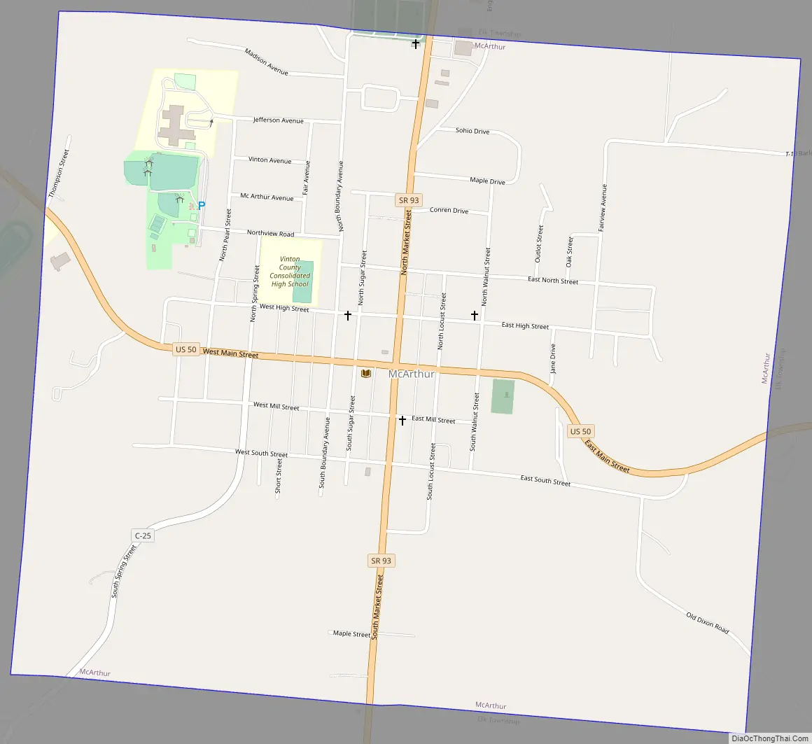
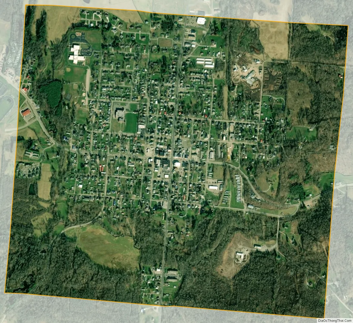
McArthur city Satellite Map
Geography
McArthur is located at 39°14′50″N 82°28′47″W / 39.24722°N 82.47972°W / 39.24722; -82.47972 (39.247191, -82.479612). It is located at the junction of U.S. Route 50 and Ohio State Route 93.
According to the United States Census Bureau, the village has a total area of 1.34 square miles (3.47 km), of which 1.33 square miles (3.44 km) is land and 0.01 square miles (0.03 km) is water.
See also
Map of Ohio State and its subdivision:- Adams
- Allen
- Ashland
- Ashtabula
- Athens
- Auglaize
- Belmont
- Brown
- Butler
- Carroll
- Champaign
- Clark
- Clermont
- Clinton
- Columbiana
- Coshocton
- Crawford
- Cuyahoga
- Darke
- Defiance
- Delaware
- Erie
- Fairfield
- Fayette
- Franklin
- Fulton
- Gallia
- Geauga
- Greene
- Guernsey
- Hamilton
- Hancock
- Hardin
- Harrison
- Henry
- Highland
- Hocking
- Holmes
- Huron
- Jackson
- Jefferson
- Knox
- Lake
- Lake Erie
- Lawrence
- Licking
- Logan
- Lorain
- Lucas
- Madison
- Mahoning
- Marion
- Medina
- Meigs
- Mercer
- Miami
- Monroe
- Montgomery
- Morgan
- Morrow
- Muskingum
- Noble
- Ottawa
- Paulding
- Perry
- Pickaway
- Pike
- Portage
- Preble
- Putnam
- Richland
- Ross
- Sandusky
- Scioto
- Seneca
- Shelby
- Stark
- Summit
- Trumbull
- Tuscarawas
- Union
- Van Wert
- Vinton
- Warren
- Washington
- Wayne
- Williams
- Wood
- Wyandot
- Alabama
- Alaska
- Arizona
- Arkansas
- California
- Colorado
- Connecticut
- Delaware
- District of Columbia
- Florida
- Georgia
- Hawaii
- Idaho
- Illinois
- Indiana
- Iowa
- Kansas
- Kentucky
- Louisiana
- Maine
- Maryland
- Massachusetts
- Michigan
- Minnesota
- Mississippi
- Missouri
- Montana
- Nebraska
- Nevada
- New Hampshire
- New Jersey
- New Mexico
- New York
- North Carolina
- North Dakota
- Ohio
- Oklahoma
- Oregon
- Pennsylvania
- Rhode Island
- South Carolina
- South Dakota
- Tennessee
- Texas
- Utah
- Vermont
- Virginia
- Washington
- West Virginia
- Wisconsin
- Wyoming