Waller County is a county in the U.S. state of Texas. As of the 2020 census, its population was 56,794. Its county seat is Hempstead. The county was named for Edwin Waller, a signer of the Texas Declaration of Independence and first mayor of Austin.
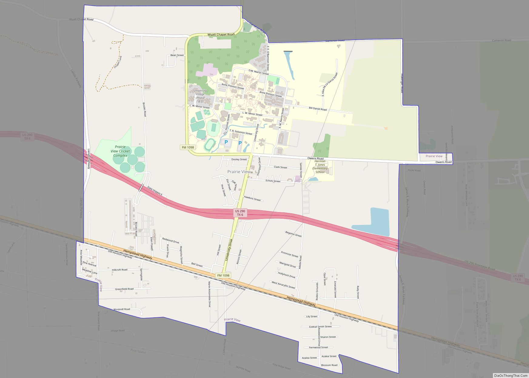
Waller County is included in the Houston-The Woodlands–Sugar Land, TX metropolitan statistical area. It is home of the Prairie View A&M University.
| Name: | Waller County |
|---|---|
| FIPS code: | 48-473 |
| State: | Texas |
| Founded: | 1873 |
| Named for: | Edwin Waller |
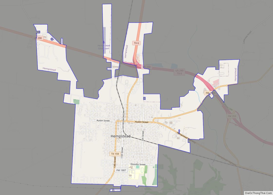
| Seat: | Hempstead |
| Largest city: | Hempstead |
| Total Area: | 518 sq mi (1,340 km²) |
| Land Area: | 513 sq mi (1,330 km²) |
| Total Population: | 56,794 |
| Population Density: | 110/sq mi (42/km²) |
| Time zone: | UTC−6 (Central) |
| Summer Time Zone (DST): | UTC−5 (CDT) |
| Website: | www.co.waller.tx.us |
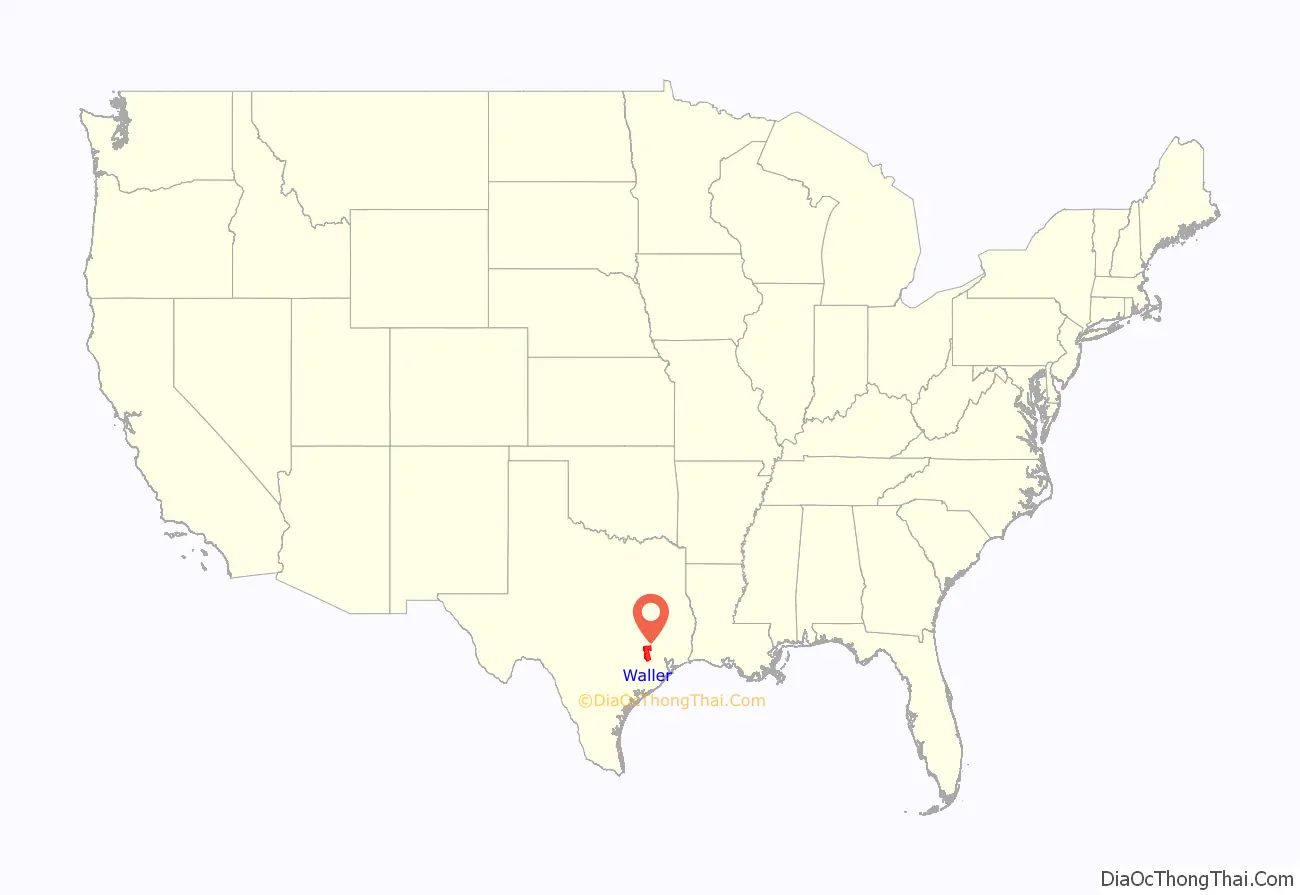
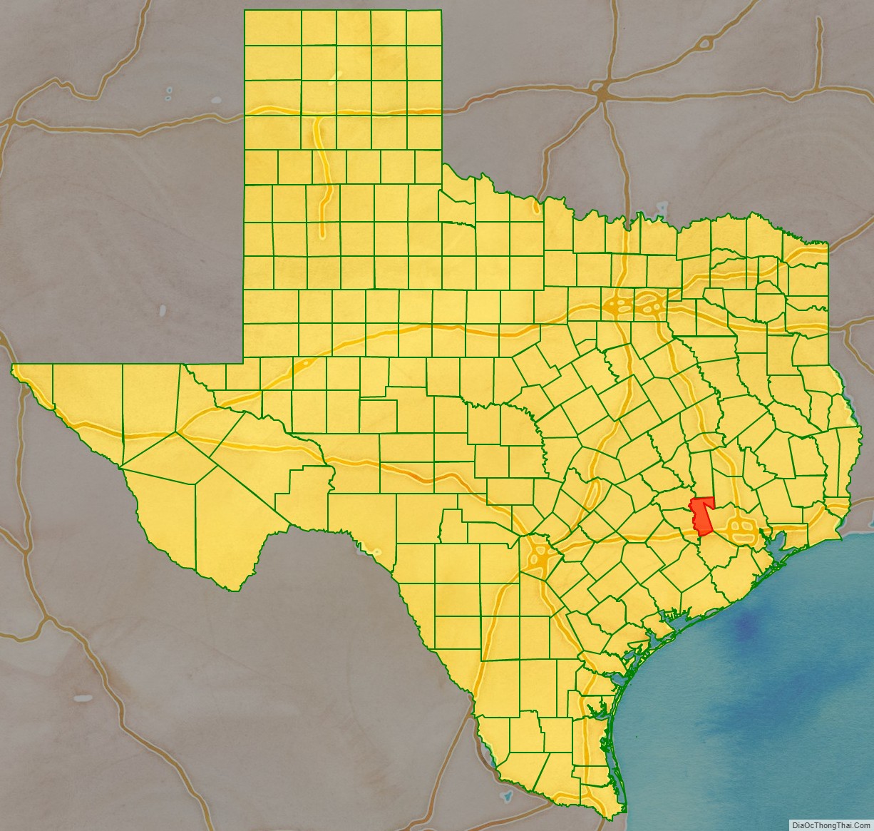
Waller County location map. Where is Waller County?
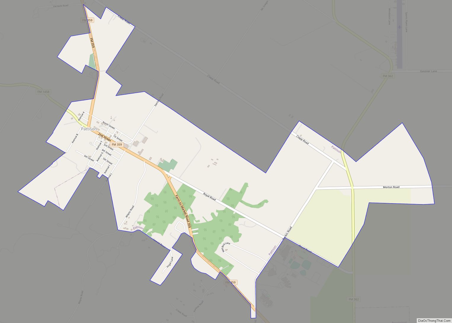
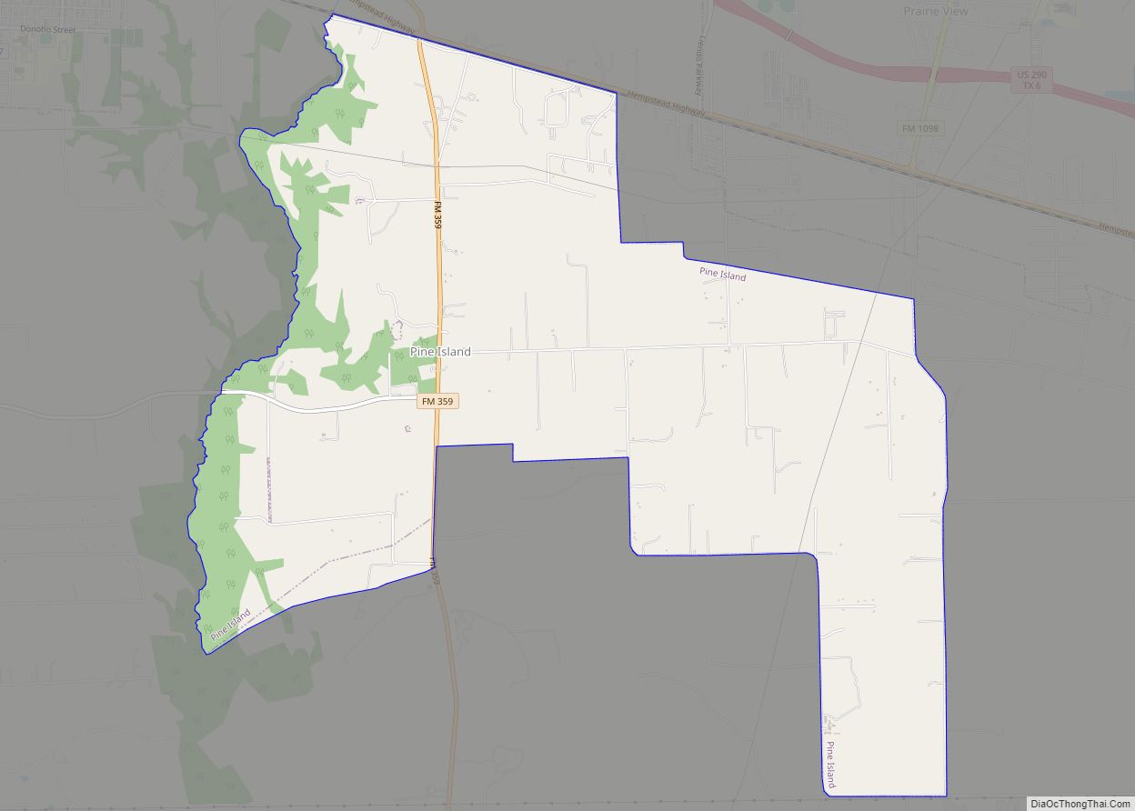
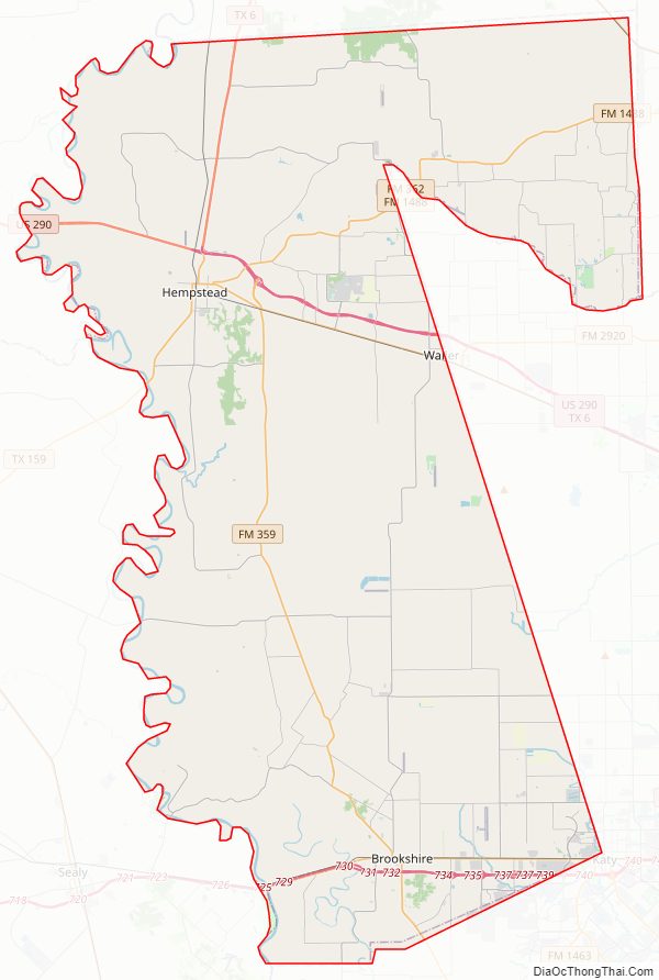
Waller County Road Map
Geography
According to the U.S. Census Bureau, the county has a total area of 518 square miles (1,340 km), of which 4.4 square miles (11 km) (0.8%) are covered by water.
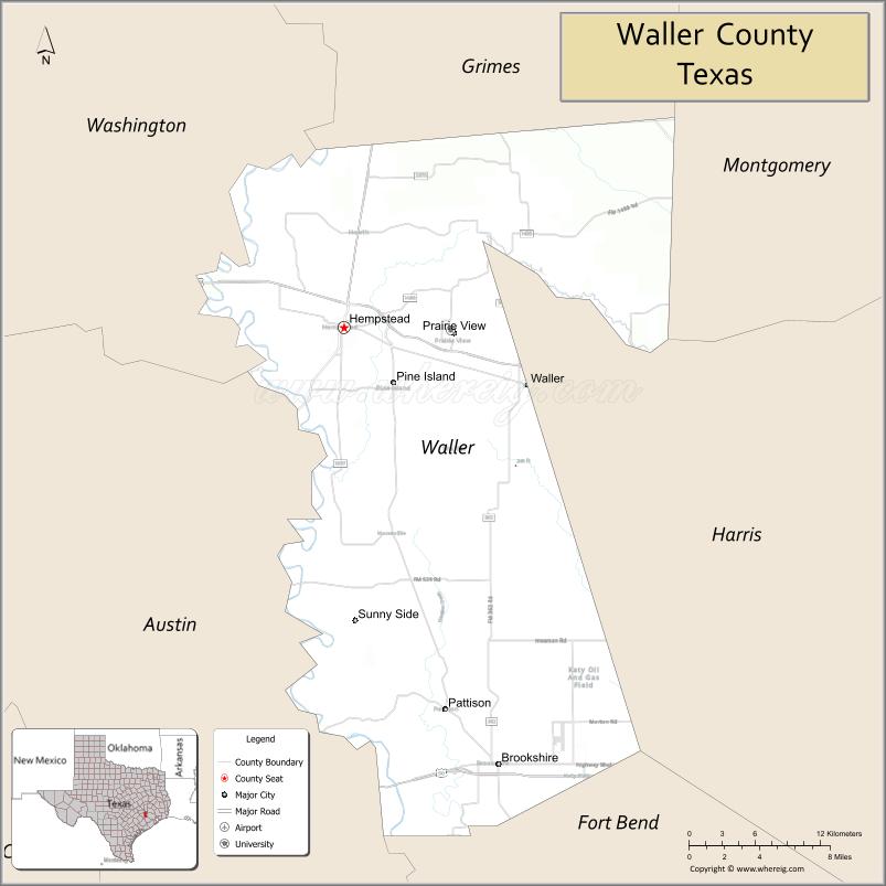
Adjacent counties
- Grimes County (north)
- Montgomery County (northeast)
- Harris County (east)
- Fort Bend County (south)
- Austin County (west)
- Washington County (northwest)
Waller County Topographic Map
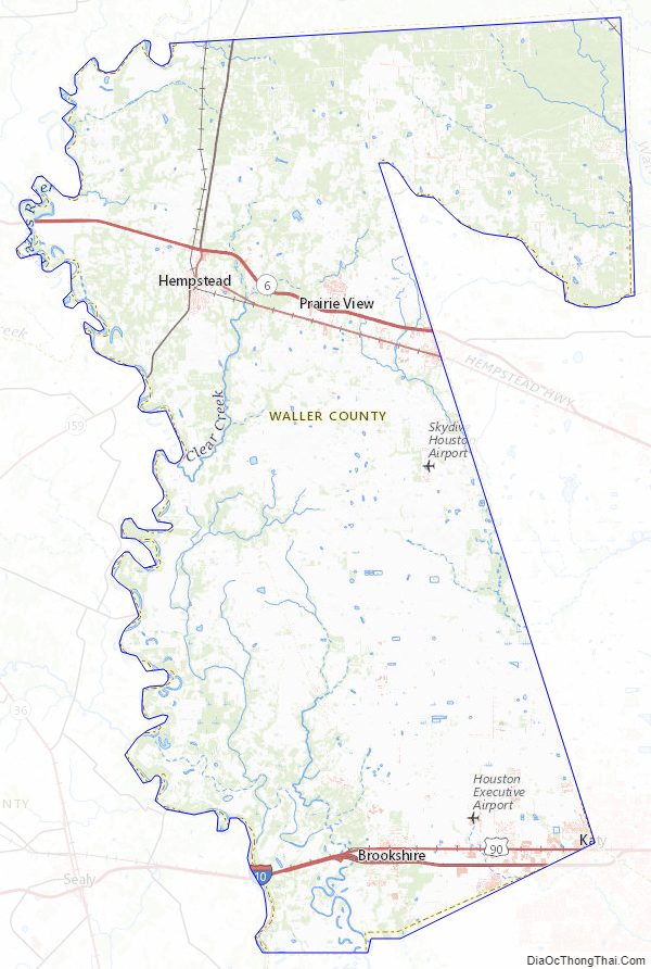
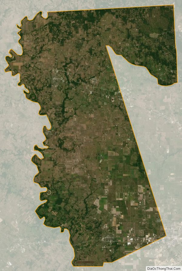
Waller County Satellite Map
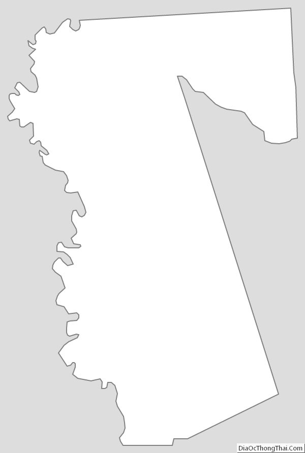
Waller County Outline Map